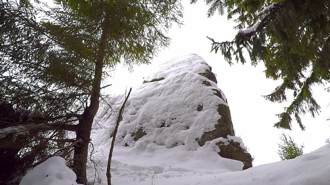
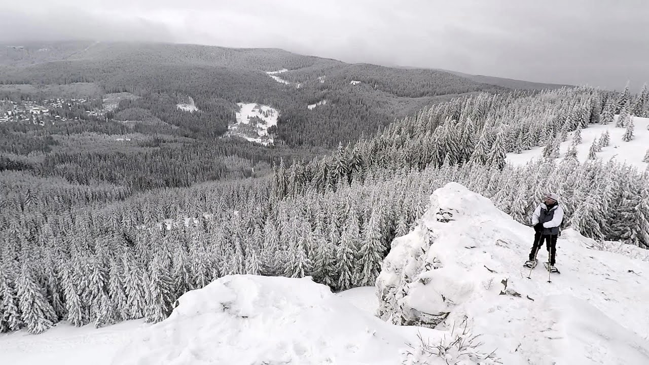
Coltul Tesit and Harghita Siculeni peaks - photos

64048574800
64048584801
48048596402
64048604803
64048634804
64048644805
64048654806
64048664807
Page no. 1, photos: 1-8, 10 photos in total. >>>

[ Hu ] - [ Ro ] - Hiking - Harghita Mountains
14th June 2009. Copyright © 2009 - 2024 Trekkingklub.com.
Already published 8077 photos and 66 videos. Please register for full access.

Photos of nearby places

Mushroom-shaped rocks of Hargita Ciceu
Mushroom-shaped rocks of Hargita Ciceu (5th October 2009 - 12 photos) 1.78 km away
Harghita Racu peak - Harghita Mountains
Harghita Racu peak - Harghita Mountains (8th April 2008 - 12 photos) 2.6 km away
Owl Stone, Harghita Bai - Harghita Mountains
Owl Stone, Harghita Bai - Harghita Mountains (5th October 2009 - 12 photos) 3.18 km away
Owl's Rock - Harghita Madaras
Owl's Rock - Harghita Madaras (18th March 2012 - 18 photos) 3.55 km away
Stack Rock Siculeni - Harghita Mountains
Stack Rock Siculeni - Harghita Mountains (7th June 2014 - 16 photos) 3.69 km away
Szökő Waterfall - Harghita Mountains
Szökő Waterfall - Harghita Mountains (5th June 2011 - 18 photos) 3.74 km away
Harghita-Bai - Harghita Mountains
Harghita-Bai - Harghita Mountains (15th January 2006 - 15 photos) 4.03 km away
[ Top ↑ ]

Videos of nearby places

Iron path - Harghita-Madaras 6.25 km away
Amateur filming in Harghita-Madaras, holding the camera by hand in the car, and helmet-mounted on the via ferrata. I climbed an iron path for the first time in my life on the Nyerges cliffs (Stancile Seii), I didn't have the right equipment yet. That's where I fell in love with climbing.
Nobody's lake - Miercurea Ciuc 12.78 km away
The passage of time (time lapse), dusk at Nobody's Lake. Miercurea Ciuc and the Sumuleu mountain can be seen in the background.
Walking to the top of Sumuleul Mare - Sumuleu Ciuc 17.52 km away
This was my first attempt at shooting a video.
Ski Gyimes ski slope - Lunca de Sus 27.67 km away
The Ski Gyimes ski slope is located in Lunca de Sus, right next to the main road. It is 800 m long, the level difference is 160 m. There are two lifts that takes you up to an altitude of 1060 meters above sea level.
The Heart of Jesus look-out - Lupeni 28.47 km away
Through the mud on Gordon Mountain, above Farkaslaka (Lupeni commune, Harghita county, Transilvania), on a cloudy afternoon, at the end of February. The destination is the Heart of Jesus lookout, nicknamed as Pléhkrisztus (The Tin Christ).

Other videos

Mürren-Gimmelwald Klettersteig Switzerland 1354.56 km away
The Mürren-Gimmelwald Klettersteig is a relatively new via ferrata route in Switzerland, located in the Lauterbrunnen Valley. It is moderately difficult, but incredibly scenic. Unusually, you don't climb upwards here, but rather descend.
Stan Valley Canyon 141.24 km away
The Stan Valley is located near Lake Vidraru, southwest of it, in the Fruntii Mountains. Those who have visited the Seven Ladders Waterfall will appreciate this canyon, outfitted with infrastructure for tourist accessibility.
Meziad cave Padurea Craiului Mountains 243.46 km away
The Meziad Cave is located near the village of Meziad, 22 km north of Beius, in the Padurea Craiului Mountains. It is one of our first tourist caves, its exploration is associated with the name of Gyula Czárán, cave researcher and writer.
5fingers, WeltNATURerbeblick, Welterbespirale, Dachstein-Hai Dachstein-Krippenstein 912.78 km away
The second station of the cable car departing from Obertraun is the Krippenstein peak (2100 m). Here you can find the famous 5fingers lookout, which offers a unique view of Hallstatt and Obertraun below, as well as the Hallstättersee lake.
Gelmerbahn Guttannen, Schweiz 1322.52 km away
The Gelmerbahn in Switzerland is the steepest open funicular in Europe. It transports tourists from an altitude of 1412 meters to over 1860 meters above sea level, as well as to the Gelmer lake located at 1849 meters.
Hodoaba Valley iron path Suncuius 241.59 km away
The Hodoaba Valley iron path is Romania's shortest and easiest (official) via ferrata route. It is located near Suncuius, in the Padurea Craiului Mountains, on the left bank of the Crisul Repede River.
L'Escale á Peille iron path Alpes-Maritimes, France 1455.69 km away
One of the challenging via ferratas in the Maritime Alps is the L'Escale a Peille. One of its elements is a steel cobweb, where you can feel like you're hanging in the air.
Small Via ferrata Rasnoavei Gorges 97.53 km away
In the past few days, it has snowed, so I climbed the two climbing routes in the Rasnoavei Gorge under winter conditions. While the lower part of the challenging Big via ferrata was dry, the upper section had patches of snow and icicles.
Wild Ferenc iron path Suhardul Mic 44.01 km away
While I climbed the new iron path mostly in the dark for the first time, this time I managed to explore it during the day. But I still missed the sunset by a few minutes.
Sky Walk, Suspension Bridge, Stairway to Nothingness Dachstein 917.52 km away
The Dachstein cable car took me up to a height of 2700 meters, to the highest mountain in Styria, the Dachstein. A fabulous natural environment unfolded before me, with panoramic views of the Austrian peaks. It is said that Slovenia and the Czech Republic can also be seen from here.
Echernwand Klettersteig Hallstatt, Austria 916.75 km away
I climbed the via ferrata on the Echernwand rock wall at dusk. This route is located above one of Austria's most beautiful lakes, and above Hallstatt. The iron climbing route was quite challenging at times, with the most exciting section being the Roll-dachl, an exposed rock formation, shaped like a nose.
Snow-covered valley of Balea and the Transfagarasan in winter The ascent 117.34 km away
The Fagarasi Mountains can be easily approached from the north, mainly by using the Transfagarasan Road. This road is only accessible during the summer months (throughout its entire length), but from the Balea Waterfall station (Statia Balea Cascada) you can also reach the Balea Lake by cable car.
Walking to the top of Sumuleul Mare Sumuleu Ciuc 17.52 km away
This was my first attempt at shooting a video.
Trümmelbach-fälle Lauterbrunnen, Switzerland 1353.07 km away
The Trümmelbach Waterfalls are a series of ten cascades partially located inside the belly of the mountain, near Lauterbrunnen, Switzerland. Infrastructure has been established to enable tourist access to the waterfalls.
Rudariei watermills Eftimie Murgu 323.79 km away
I have visited the twenty-two wooden water mills with horizontal wheels, located in the valley of the Rudaria stream, mostly in the rain and under an umbrella. Some of them are still in use today. In 1874, there were still fifty such water mills operating in the village.
[ Top ↑ ]
[ Top ↑ ]
Copyright © 2003-2024 Trekkingklub and friends. Reproduction of any text, picture or video from this website, either in printed or electronic form, is prohibited without prior written permission. Nearby settlements: Harghita-Bai 3.88 km away, Tourist attractions Siculeni 9.98 km away. The given distances are to be understood as straight line distances, and are approximate. Website made with love Made with love in Miercurea Ciuc.