Tisita Gorge (Cheile Tisitei) | Photos


Page no. 1, photos: 1-10, 40 photos in total. >>>

Copyright © 2010 - 2025 Trekkingklub.com.
Already published 8983 photos and 180 videos. Please register for full and ad-free access.
Photos of nearby places


Surroundings of Covasna town (24 photos) 27.1 km away
Fortress of Fairies, Narrow gauge railway Covasna-Comandau

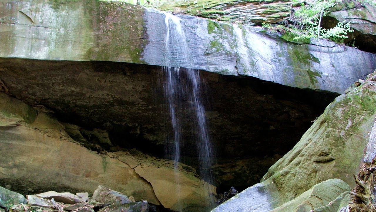
The waterfalls of Velnita stone-quarry - Left side (18 photos) 37.37 km away
Fan waterfall, Side waterfall, Double-decked waterfall, Waterfall with stairs, Hammock waterfall, Terrrace waterfall, The waterfall behind the arch, Suspended rock cube, Brown waterfall, Ceiling waterfall.

The waterfalls of Velnita stone-quarry - Right side (16 photos) 37.64 km away
The waterfall from the quarry, Green waterfall, Water-jet waterfall, Run down waterfall.


Round rocks from Viisoara - Berzunti (12 photos) 42.86 km away
Round rocks are quite a common curiosity, apart from those in Costesti, Valcea county, there are numerous other locations with similar rock formations. The round rocks from Viisoara are located northwest of the village, at a distance of approximately 700 meters from DC152 road.
[ Top ↑ ]
Videos of nearby places
Waterfalls of Velnita stone-quarry - Targu Ocna 37.79 km away
Starting from the Velnita quarry, an adventurous nature enthusiast, accustomed to wild and rugged terrains, will discover a true waterfall paradise. At the upper part of the quarry, two streams converge.

Preacher's Rock - Bodoc Mountains 52.21 km away
In the Bodoc Mountains, west-southwest from the Henter peak, we find a rock formation shaped like a mushroom by erosion, called Preacher's Rock. This 2-meter high rock probably got its name from the pagan Hungarian priests, who preached here in the past.

Saint Anne lake - Ciomat-Puturosu 56.66 km away
Lake Saint Anna is the only well-preserved volcanic crater lake in Eastern Europe. Here are some images from an afternoon outing.
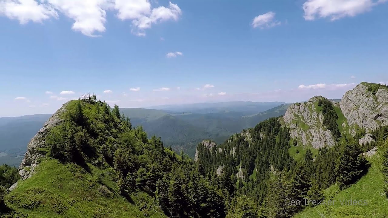
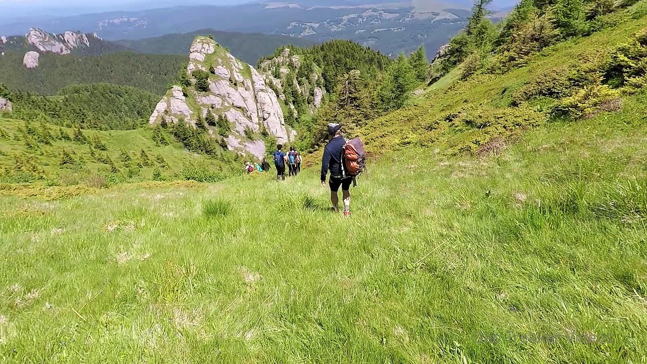
Searching for rhododendrons - Ciucas Boulevard 63.95 km away
Red Mountain (Muntele Rosu), Gropsoarele-Zaganu ridge - Ciucas Mountains
Other places
The Gorge of the Creek of the Gorge (Cheii Gorge, Cheile Cheii) Buila-Vanturarita National Park 201.74 km away
The Gorges of the Creek of the Gorge (Cheii Gorge, Cheile Cheii) is located in the Buila-Vanturarita National Park within the Capatana Mountains. It is one of the most beautiful and picturesque gorges in Romania.
The Gorges of the Creek of the Gorge (Cheii Gorge, Cheile Cheii) is located in the Buila-Vanturarita National Park within the Capatana Mountains. It is one of the most beautiful and picturesque gorges in Romania.
Falco Tinnunculus (Common kestrel) via ferrata (E), the ascent Falcon's Rock, Corbu 139.73 km away
Over Corbu village in Harghita County, on the rocks of Falcon's Rock (Piatra Soimilor), which belong to the Bistrita Mountains, five via ferrata routes have been established. In November 2019, the first three routes of the Falcon's Rock via ferrata were complemented with two additional ones, featuring a roughly 15-meter hanging bridge and a 15-meter-high iron ladder.
Over Corbu village in Harghita County, on the rocks of Falcon's Rock (Piatra Soimilor), which belong to the Bistrita Mountains, five via ferrata routes have been established. In November 2019, the first three routes of the Falcon's Rock via ferrata were complemented with two additional ones, featuring a roughly 15-meter hanging bridge and a 15-meter-high iron ladder.
[ Top ↑ ]
[ Top ↑ ]
Select language: - Magyar - Romana - Deutsch - Français - Italiano - Español - Copyright © 2003-2025 Trekkingklub and friends. Reproduction of any text, picture or video from this website, either in printed or electronic form, is prohibited without prior written permission. The given distances are to be understood as straight line distances, and are approximate. Website made in Miercurea Ciuc