Duruitoarea waterfall - Ceahlau Mountains | Photos


Page no. 1, photos: 1-5, 5 photos in total.

Copyright © 2004 - 2026 Trekkingklub.com. Please register for full and ad-free access.
Airport nearby: Suceava Stefan cel Mare Airport (SCV - Suceava, Ro), 85 km away.
Photos of nearby places


[ Top ↑ ]
Videos of nearby places
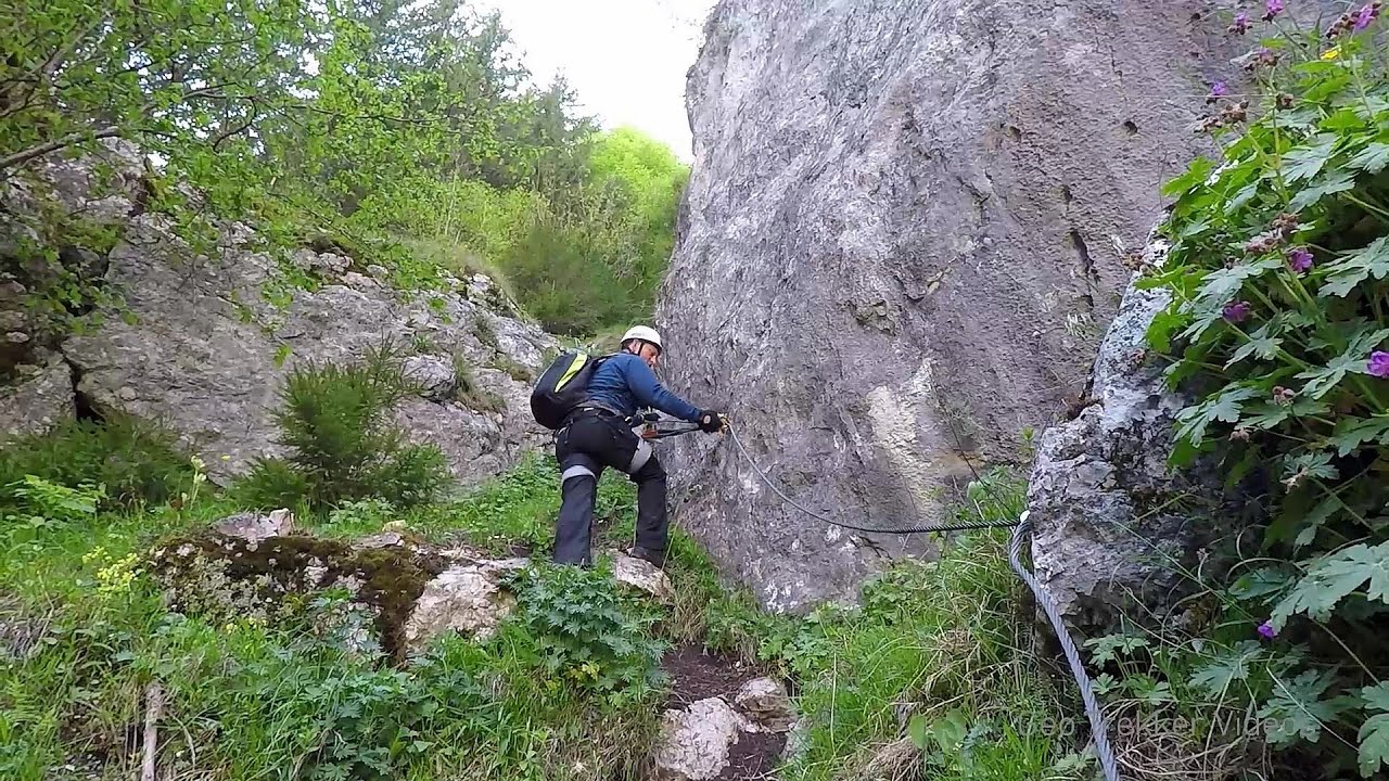
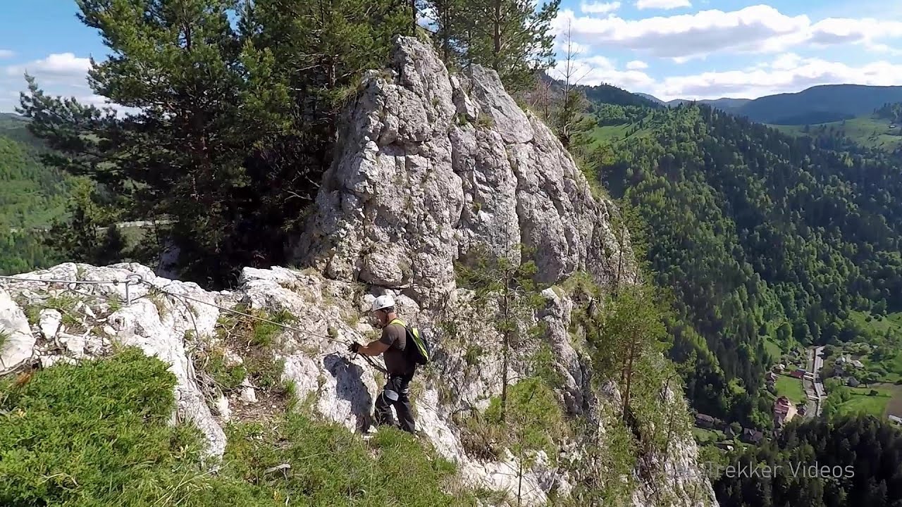
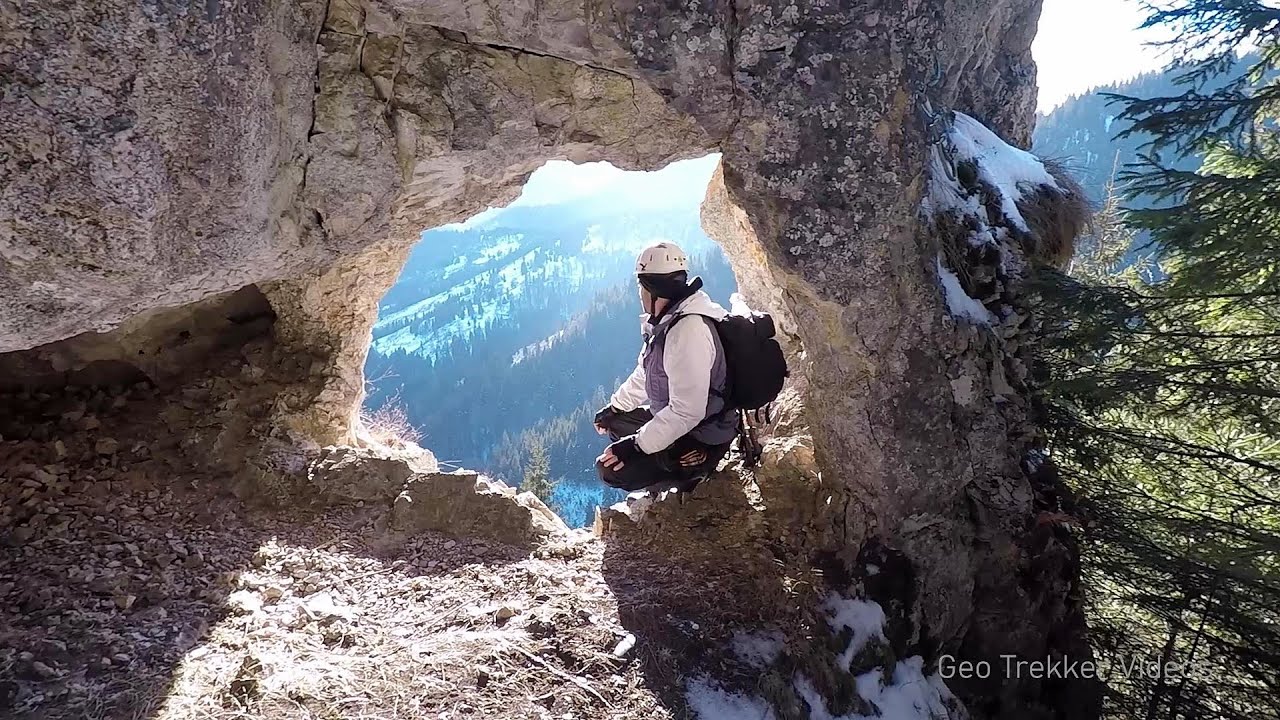
Sugau Stone lookout point and iron path, Sugau Gorge - Munticelu 17.5 km away. Sugau Stone lookout point and iron path (B/C), Sugau Gorge - Munticelu Nature Reserve.
Sugau Rock lookout point and iron path 17.5 km away. Sugau Rock lookout point and iron path (B/C). Sugau Gorges - Munticelu Nature Reserve, Hasmas Mountains.
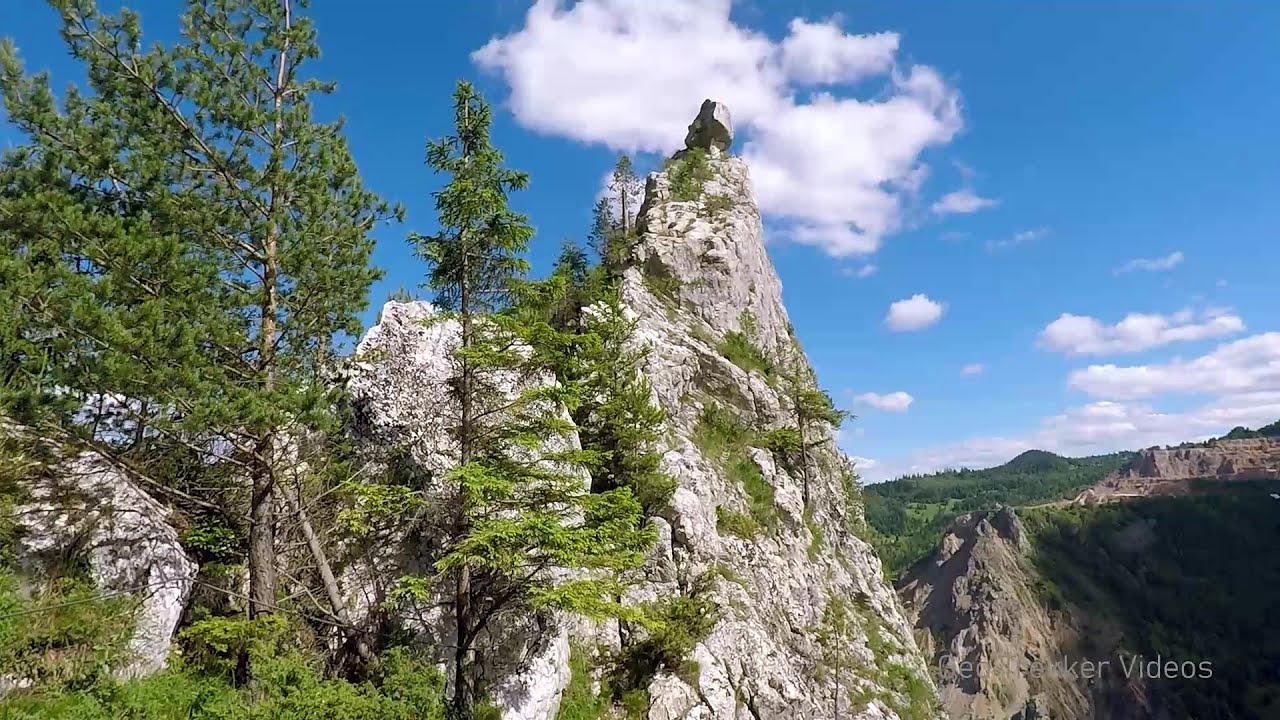
Astragalus iron path in winter - Glod Stone, Munticelu 17.5 km away. The official website of the Sugau Gorge published information about a new via ferrata climbing route named Astragalus. Sugau Gorges - Munticelu is a nature conservation area part of Natura 2000 located in Neamt County, which borders Harghita County.
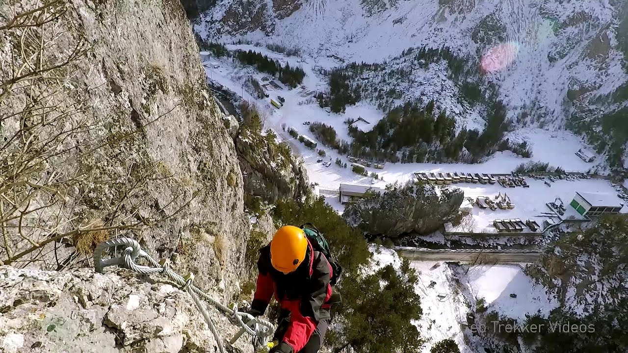
Falco Peregrinus via ferrata - Falcons Rock, Corbu 18.6 km away. Falco Peregrinus (Peregrine falcon) via ferrata (B/C) - Falcon's Rock, Corbu.
Other places
Black Rocks iron path Bihor Mountains 256.8 km away. Black Rocks is located in the Bihor Mountains, near the Vartop Saddle, to the west of it. It is interesting that the locals (if I understood correctly) do not know this name, but use the name Piatra Buna (meaning Good Stone) for this spectacular rock.
Crystal Cave at Farcu Mine 267.3 km away. In the Padurea Craiului Mountains, near Rosia, in the Farcu bauxite mine, in 1987, the miners accidentally discovered a cave. It was filled with crystal-shaped limestone formations.
Pisoaia waterfall Vidra 243 km away. Pisoaia waterfall (Pisoaia Vidrii, Urine of the otter) - Nemesi, Vidra.
Suspension bridge Aries river, Salciua de Sus 206.1 km away.
Lednica iron path Brestnitsa 457.7 km away. The Lednica via ferrata is located next to the Saeva Dupka Cave, near the village of Brestnitsa in Bulgaria. The trail leading to the via ferrata, which opened in 2007, starts from the cave parking lot next to a covered resting area.
Ski resort Poiana Brasov Postavarul Mountains 158.5 km away. Shining sun and an Austria-feeling on the impeccable slopes of the ski paradise Poiana Brasov above Brasov. Sunbathing, coffee and refreshing drinks on the terrace of Julius Römer chalet.
Stone Forest Slanchevo 438.9 km away. The Stone Forest (Stones stuck in the ground, Pobiti Kamani) of Bulgaria is located 18 km west of Varna, at the foothills of the Eastern Balkan Mountains. Its Bulgarian name, Pobiti Kamani, translates to planted stones, and it is referred to in English as the Stone Desert or Stone Forest.
Prohodna cave Karlukovo 446.8 km away. The Prohodna cave nicknamed The Eyes of God is located in Bulgaria, in the Iskar Gorge, on one of the largest karst areas in Bulgaria, 2 km from the town of Karlukovo. It is essentially a 262-meter-long natural stone bridge, with a large (45 m high) and a small (35 m high) entrance.
Huda lui Papara cave Salciua de Jos 199.8 km away. Huda lui Papara cave (Paparas Hole) - Salciua de Jos, Trascau Mountains.
Borov Kamak waterfall Zgorigrad, Vratsa 465.7 km away. The Vratsa eco-trail starts from the village of Zgorigrad, located 6 km from the city of Vratsa in Bulgaria, and ends at the Parshevitza hut. It is also known as the Zgorigradska or Borov Kamak eco-trail.
Tureni Gorge iron path 174 km away. Tureni Gorge iron path visiting route (Via ferrata Cheile Tureni), Trascau Mountains.
The Trovants Museum in Winter Costesti 249.7 km away.
Sterp- and White creek valleys Ciucas Mountains 166 km away.
Pietraru pottery Horezu 252.1 km away.
[ Top ↑ ]
Copyright © 2003-2026 Trekkingklub and friends. Reproduction of any text, picture or video from this website, either in printed or electronic form, is prohibited without prior written permission.
The given distances are to be understood as straight line distances, and are approximate. Website made in Miercurea Ciuc  .
.