Harghita Madaras | Photos
Page no. 1, photos: 1-6, 10 photos in total. >>>
Copyright © 2004 - 2026 Trekkingklub.com. Please register for full and ad-free access.
Airport nearby: Ghimbav International Airport (GHV - Brașov (Ghimbav), Ro), 83 km away.
Photos of nearby places

Harghita Bath - Harghita Mountains (15 photos) 8.7 km away. Harghita Bath (Harghita-Bai) - Harghita Mountains.
[ Top ↑ ]
Videos of nearby places

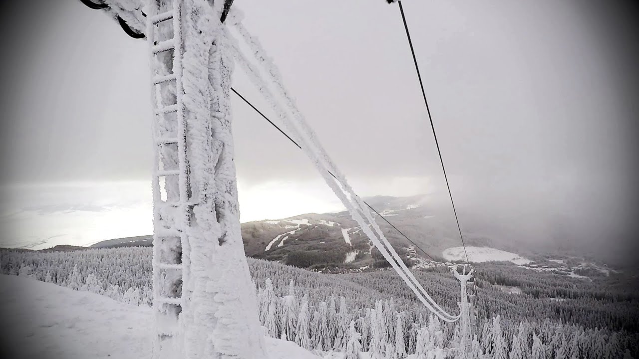
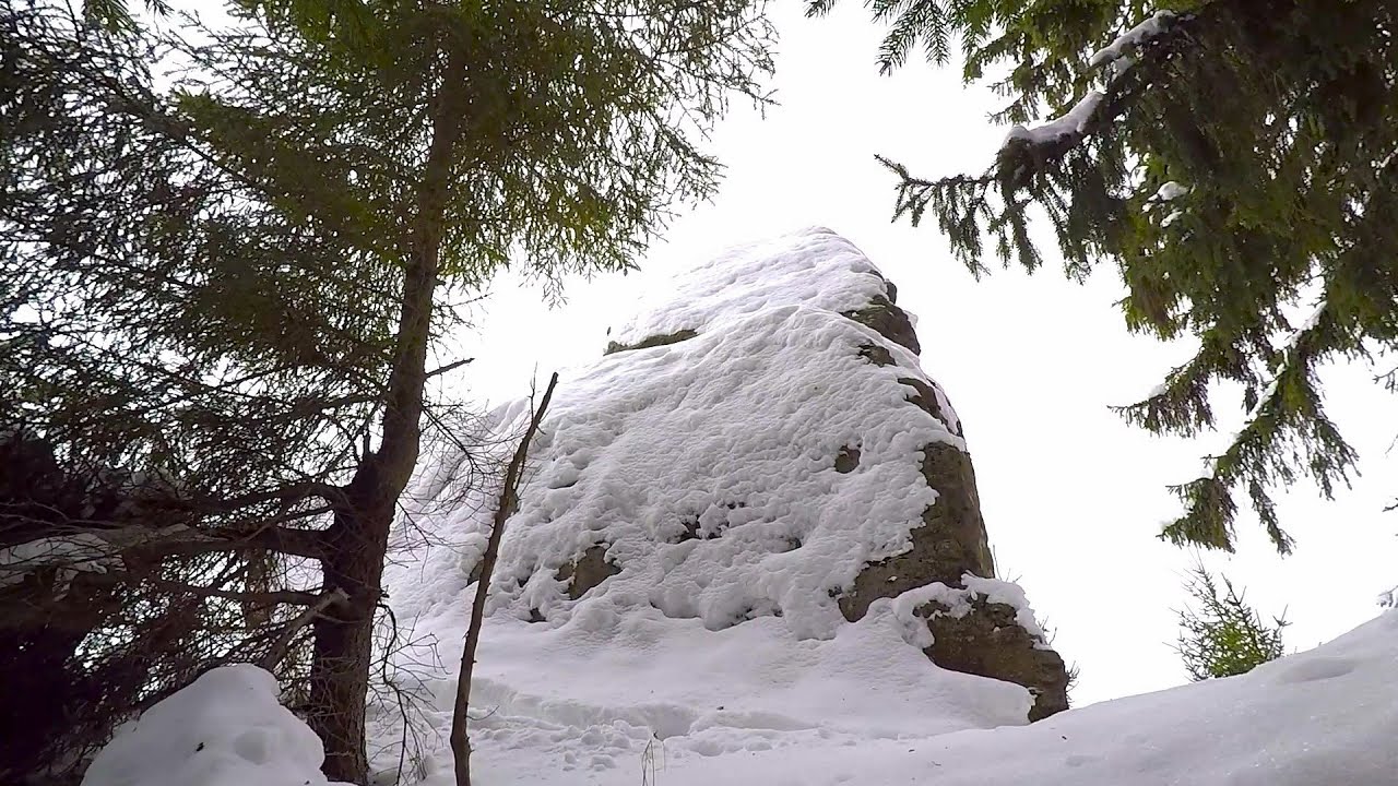
Iron path in winter - Harghita Madaras 1.4 km away. This is already the sixth time I've climbed the via ferrata route set up on the rocky cliffs of Seii Peak near Harghita Madaras. Although the forecast suggests that the weather should be nice, I am greeted by a sky covered in clouds.

Iron path - Harghita-Madaras 1.4 km away. Amateur filming in Harghita-Madaras, holding the camera by hand in the car, and helmet-mounted on the via ferrata. I climbed an iron path for the first time in my life on the Nyerges cliffs (Stancile Seii), I didn't have the right equipment yet.

Jumping waterfall - Harghita Mountains 1.5 km away. Jumping waterfall (Cascada Saritoarea, Szökő) - Harghita Mountains.

TV-radio amplifying station - Harghita Ciceu 7 km away. The hiking trail marked with a blue stripe starts at the Uz Bence shelter and runs from Harghita-Bai to Harghita Madaras. Our destination today is the Harghita Ciceu plateau.
Other places
Lednica iron path Brestnitsa 394.5 km away. The Lednica via ferrata is located next to the Saeva Dupka Cave, near the village of Brestnitsa in Bulgaria. The trail leading to the via ferrata, which opened in 2007, starts from the cave parking lot next to a covered resting area.
Goats Ledge iron path Ramet Gorge 163.7 km away. Via ferrata Goats Ledge (Brana Caprei) iron path - Ramet Gorge, Trascau Mountains.
Ladys Stones Rarau Mountains 110.5 km away. The Lady's Stones represent the heart, the mind, and the soul. The first two only help to understand the world when one possesses knowledge (they can be climbed with rock climbing gear), as emotions and thoughts (the two rock towers) obscure reality (the view).
Billy-goat lake, Closed Gates Retezat Mountains 238 km away. The most unique ridge trail of the Retezat Mountains is the Closed Gates.Below, at an altitude of 2070 m above sea level, is the Billy-goat lake.
The Trovants Museum in Winter Costesti 187.5 km away.
Snow-covered valley of Balea and the Transfagarasan in winter The ascent 117.9 km away. The Fagarasi Mountains can be easily approached from the north, mainly by using the Transfagarasan Road. This high altitude mountain road is only accessible during the summer months (throughout its entire length).
Hodoaba Valley iron path Suncuius 237.4 km away. The Hodoaba Valley iron path is Romania's shortest and easiest (official) via ferrata route. It is located near Suncuius, in the Padurea Craiului Mountains, on the left bank of the Crisul Repede River.
Borov Kamak waterfall Zgorigrad, Vratsa 401.9 km away. The Vratsa eco-trail starts from the village of Zgorigrad, located 6 km from the city of Vratsa in Bulgaria, and ends at the Parshevitza hut. It is also known as the Zgorigradska or Borov Kamak eco-trail.
Foamy valley waterfall Bucegi Mountains 116.3 km away. Access to the Foamy valley waterfall (Cascada Valea Spumoasa) is made from the town of Busteni. The starting point is the lower station of the cable car that ascends to the Babele cabin.
Saeva Dupka cave Brestnitsa 394.4 km away. The Saeva Dupka Cave is located 2 km south of the village of Brestnitsa. In its five chambers and 400 meters of passageways, you can see the most beautiful cave formations in Bulgaria.
Suspension bridge Aries river, Salciua de Sus 170.1 km away.
Oltet Gorge Capatana Mountains 196.9 km away. Oltet Gorge (Cheile Oltetului) - Capatana Mountains. That day, we had planned to ski at the Ranca resort, situated alongside the Transalpina high altitude mountain road in the Parang Mountains.
Via Ferrata Pink Panther Baia de Fier 199 km away. In the area of Baia de Fier in Gorj County, several via ferrata routes have been set up on the rock above the Women's Cave (Muierii Cave) and on the other side of the road. At that time (2018), there were a total of seven.
Vadu Crisului cave 240.9 km away. The Vadu Crisului Cave, with a total length of over 1000 meters, is located in the picturesque gorge of Crisul Repede creek. It consists of a gently meandering, long passage that features an active, stream level next to an upper, fossil level in its first section.
Abandoned Sports Hall Varna 405.7 km away. An abandoned sports hall in Varna, with an unfinished dormitory and tennis courts across three levels.
[ Top ↑ ]
Copyright © 2003-2026 Trekkingklub and friends. Reproduction of any text, picture or video from this website, either in printed or electronic form, is prohibited without prior written permission.
The given distances are to be understood as straight line distances, and are approximate. Website made in Miercurea Ciuc  .
.
 .
.


