Tourist attractions near Modolesti (Intregalde, Alba county, Romania)
Photos of nearby places

Stone of Cetea, Horse Pit - Trascau (16 photos) 5.2 km away. Stone of Cetea, Horse Pit (The pit cave from the Stone of Cetea) - Trascau Mountains.

Goats Ledge - Trascau Mountains (10 photos) 6 km away. Goats Ledge (Brana Caprei, Kecskék párkánya) - Trascau Mountains .

Goat Stone - Craiva, Trascau Mountains (18 photos) 6.5 km away. Goat Stone (Piatra Craivii, Piatra Craivei, Apulon) - Craiva, Trascau Mountains.

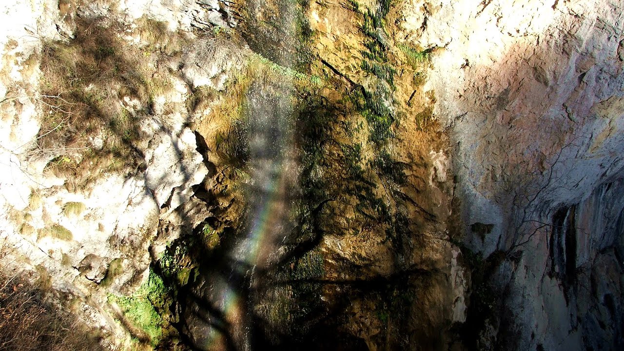
Dark Blue Bruises of the Ponor - Trascau Mountains (16 photos) 13.7 km away. The Dark Blue Bruises of the Ponor (Vanatarile Ponorului) is a polje-type protected area. Polje is a Slovenian word meaning plain, and it refers to a surface karst form.

Dark Blue Bruises of the Ponor, Bedeleu (24 photos) 16.6 km away. Dark Blue Bruises of the Ponor (Vanatarile Ponorului), Bedeleu - Trascau Mountains.

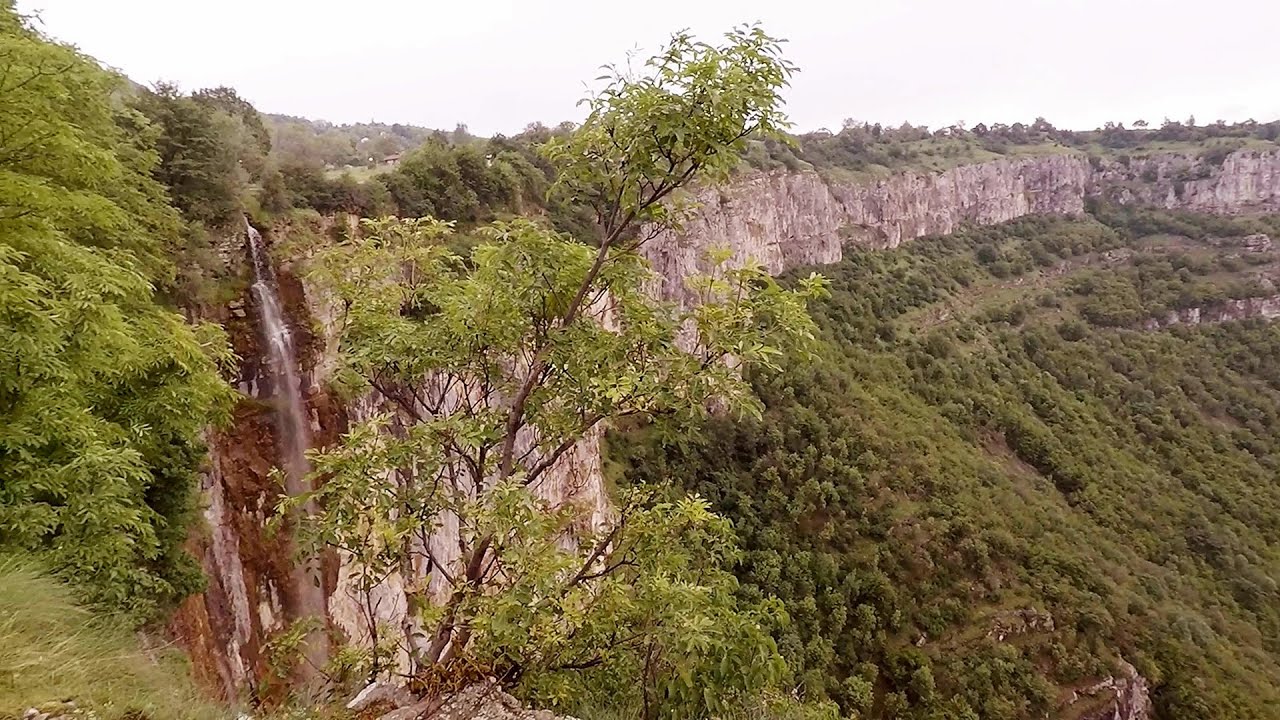
Balcony Clearing - Trascau Mountains (6 photos) 17.6 km away. Balcony Clearing (Erkély-tisztás, Balconul Sipotelor) - Trascau Mountains.

Aries valley - Trascau Mountains (10 photos) 18.6 km away. Aries (Golden) valley - Trascau Mountains.

Szekler Stone North - Trascau Mountains (8 photos) 25.2 km away. Szekler Stone North (Piatra Secuilor Nord) - Trascau Mountains.

Szekler Stone - Trascau Mountains (42 photos) 25.2 km away. Szekler Stone (Székely-kő, Piatra Secuilor) - Trascau Mountains.

Turda Gorge - Trascau Mountains (9 photos) 40.1 km away. Turda Gorge (Cheile Turzii) - Trascau Mountains.

Turda Gorge - Trascau Mountains (11 photos) 40.1 km away. Turda Gorge (Cheile Turzii) - Trascau Mountains.

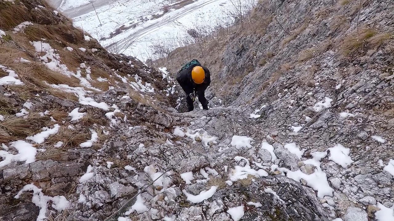
Turda Gorge via ferrata (24 photos) 40.1 km away. Turda Gorge iron path (Via ferrata Cheile Turzii) - Trascau Mountains.

Tureni Gorge iron path visiting route (24 photos) 45.5 km away. Tureni Gorge iron path visiting route (via ferrata) - Trascau Mountains.


Spherical concretions from Feleac (18 photos) 52.2 km away. The spherical concretions from Feleac are sedimentary rock materials that were cemented together to form a hard structure. The surrounding sediments slowly erode away, exposing the concretion.


[ Top ↑ ]
Videos of nearby places
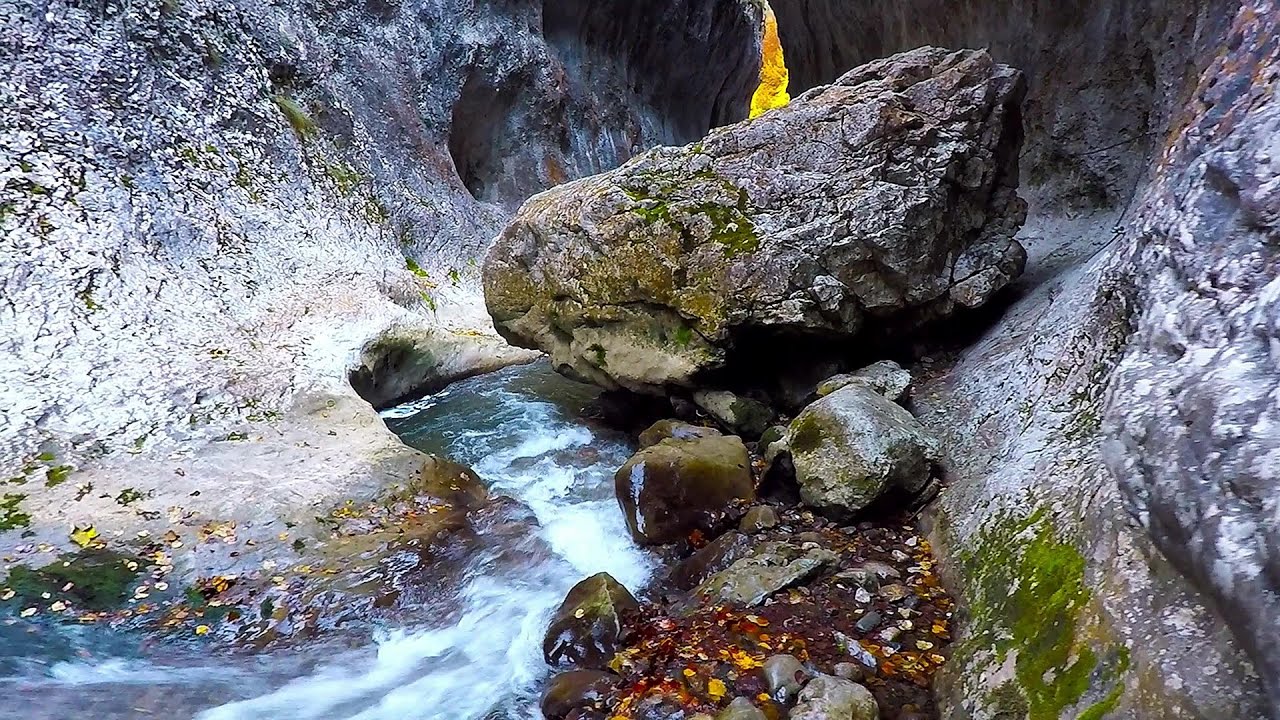
Ramet Gorge - Goagiu Creek 6 km away. Ramet Gorge (Cheile Rametului) - Goagiu Creek (Paraul Goagiu), Trascau Mountains. The Ramet Gorge is the wildest canyon in the Trascau Mountains.
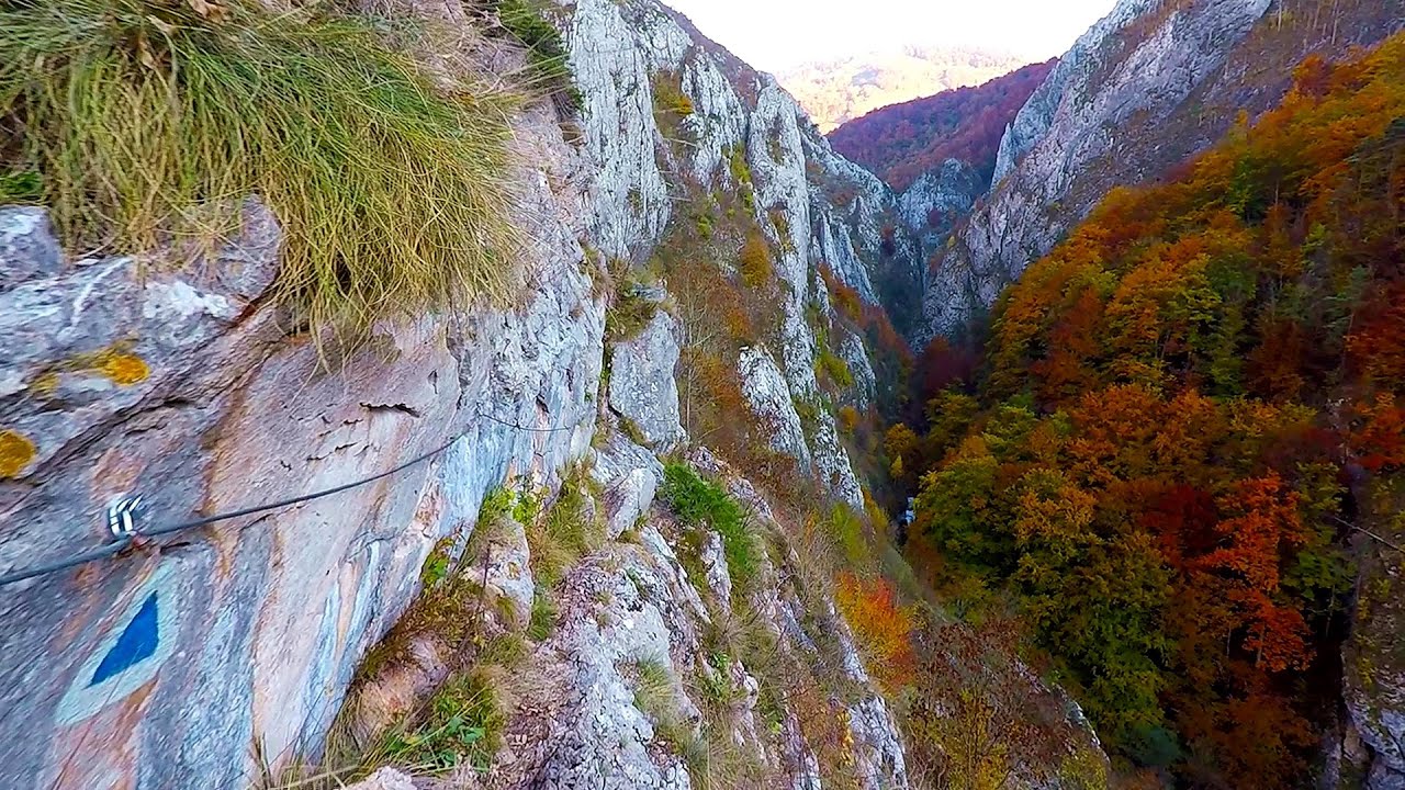
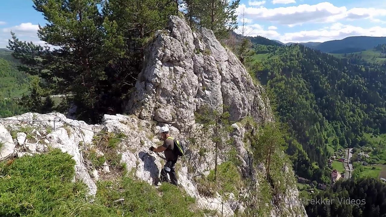
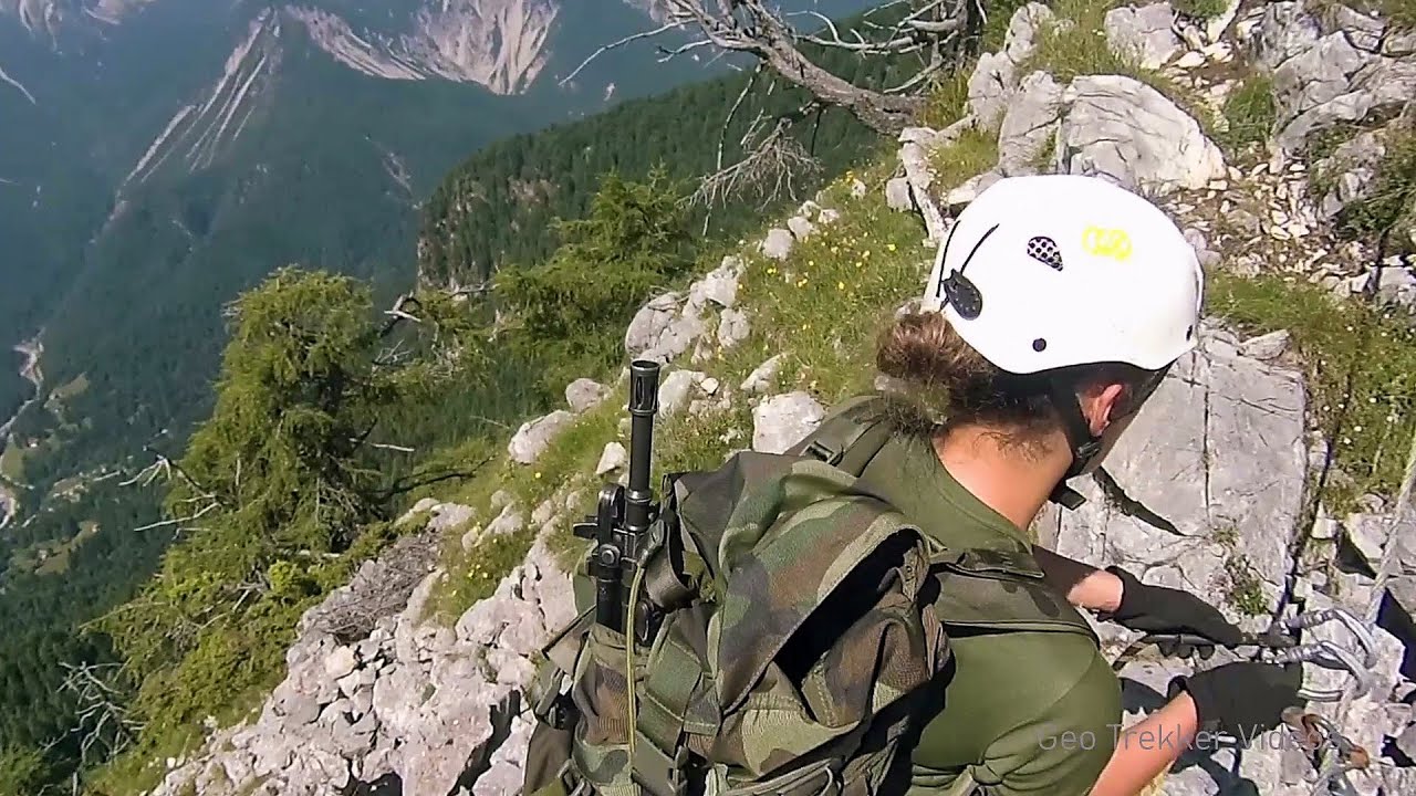
Goats Ledge iron path - Ramet Gorge 6 km away. Via ferrata Goats Ledge (Brana Caprei) iron path - Ramet Gorge, Trascau Mountains.
Roman Baths - Cetea, Trascau Mountains 10 km away. Roman Baths (Baile Romane) - Cetea, Trascau Mountains. Among the valleys of the Trascau Mountains, the Cetea Gorge best deserves the name of a crevice valley.
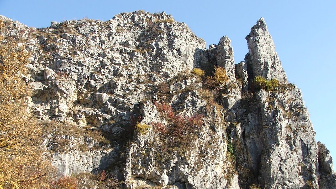
Ticuiata Rock - Trascau Mountains 10.1 km away. Ticuiata Rock (Stanca Picuiata) - Trascau Mountains.
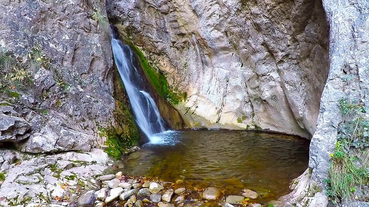
Dalbina waterfall, Dark Blue Bruises of the Ponor 13.7 km away. Dalbina waterfall, Dark Blue Bruises of the Ponor (Vanatarile Ponorului).
Other places
Arched stone bridge Rugova Canyon 473.3 km away. Arched stone bridge - Rugova Canyon (Gryka e Rugoves).
Belintash Ridge of Dobrostan, Rhodope Mountains Belintash is a mysterious monolithic complex located approximately 50 km from Plovdiv, passing through the scenic Rhodope Mountains. It is situated southeast of the village of Vrata and west of the village of Sini Vruh.
Sleeping Beauty cave 462.2 km away. Shpella e Radacit (Sleeping Beauty) cave.
Loreley and Pink Panther iron path Baia de Fier 120.3 km away. The Loreley via ferrata (graded B/C, with an elevation difference of approximately 100 m and a length of about 100 m) is located on the rock wall on the opposite side of the road. A branch from its upper section leads to the Pink Panther (Pantera Roz, graded A/B/C, approximately 200 meters long, with an elevation difference of about 50 meters).
Via ferrata Mat Peja 471.8 km away.

Belogradchik fortress 297.9 km away. Belogradchik is located in the northwestern part of Bulgaria, in the Vidin Province, at the foot of the Balkan Mountains, near the Serbian border. Its name means little white town.
Via ferrata Adventure Climb Varmost Forni di Sopra, Cima Clap Varmost, Alpi Carniche I participated in a joint, Szekler-Italian 'military exercise' :-) on the Adventure Climb Varmost via ferrata. The iron climbing route is located in the Friuli-Venezia Giulia region, in the Carnic Alps, and it leads up to the summit of Clap Varmost above Forni di Sopra.
Bovska Skaklya waterfall Iskar gorge 357.5 km away. The Bovska Skaklya waterfall is located near the town of Svoge in Bulgaria. The waterfall formed on the Zaselska River has several reported heights online (120 m, 85 m).
[ Top ↑ ]
Copyright © 2003-2026 Trekkingklub and friends. Reproduction of any text, picture or video from this website, either in printed or electronic form, is prohibited without prior written permission. Website made with love  in Miercurea Ciuc.