Tourist attractions near Brusturi (Brusturi, Bihor county, Romania)
Photos of nearby places


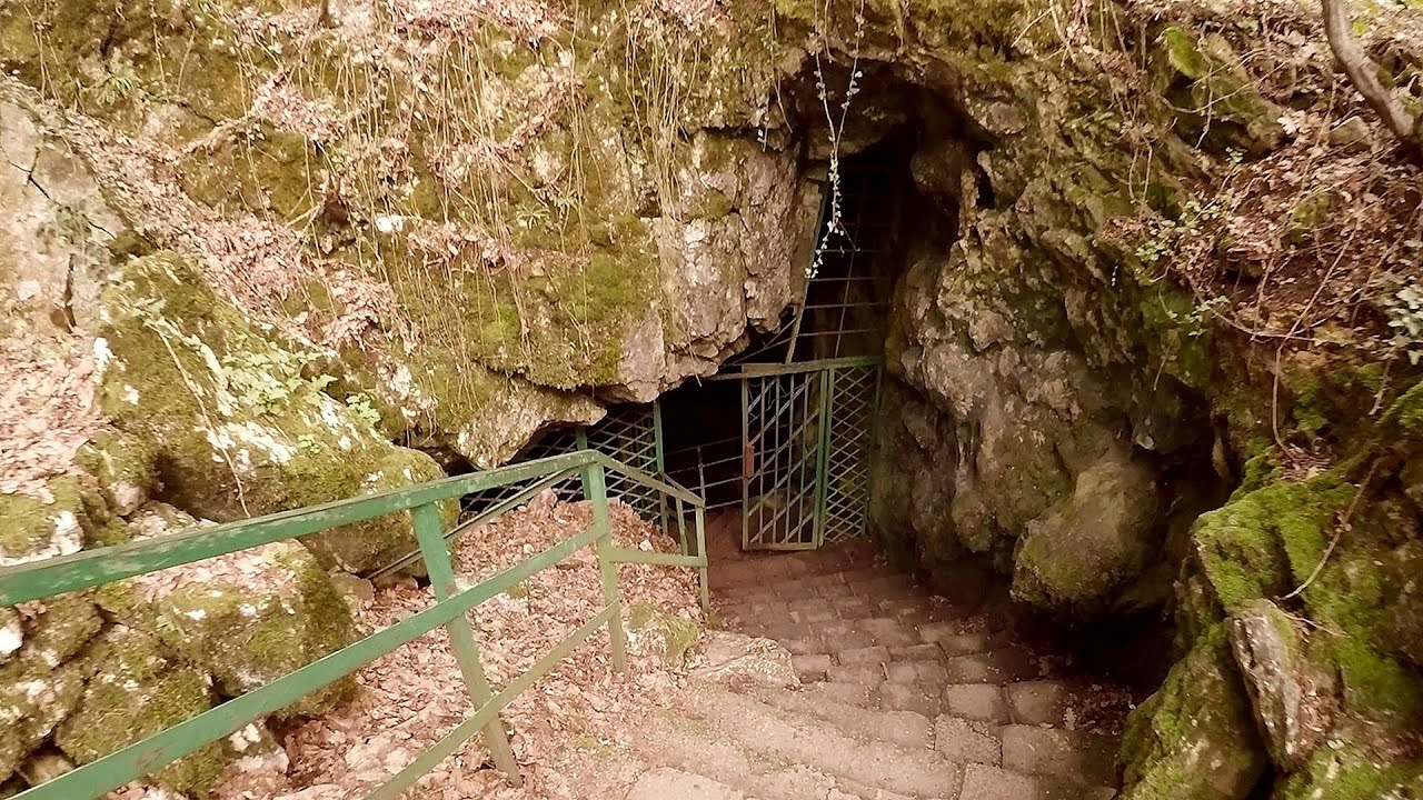
Cave of Winds - Padurea Craiului Mountains (24 photos) 33.5 km away. The Cave of Winds (Pestera Vantului) is located in the Padurea Craiului Mountains, not far from Frantura meadow, near Suncuius, on the left geographical side of the Crisul Repede River. The Cave of Winds was discovered in 1957 by Béla Bagaméri and is currently (as of 2003) the longest cave system known in Romania as well as in the Carpathian Basin.


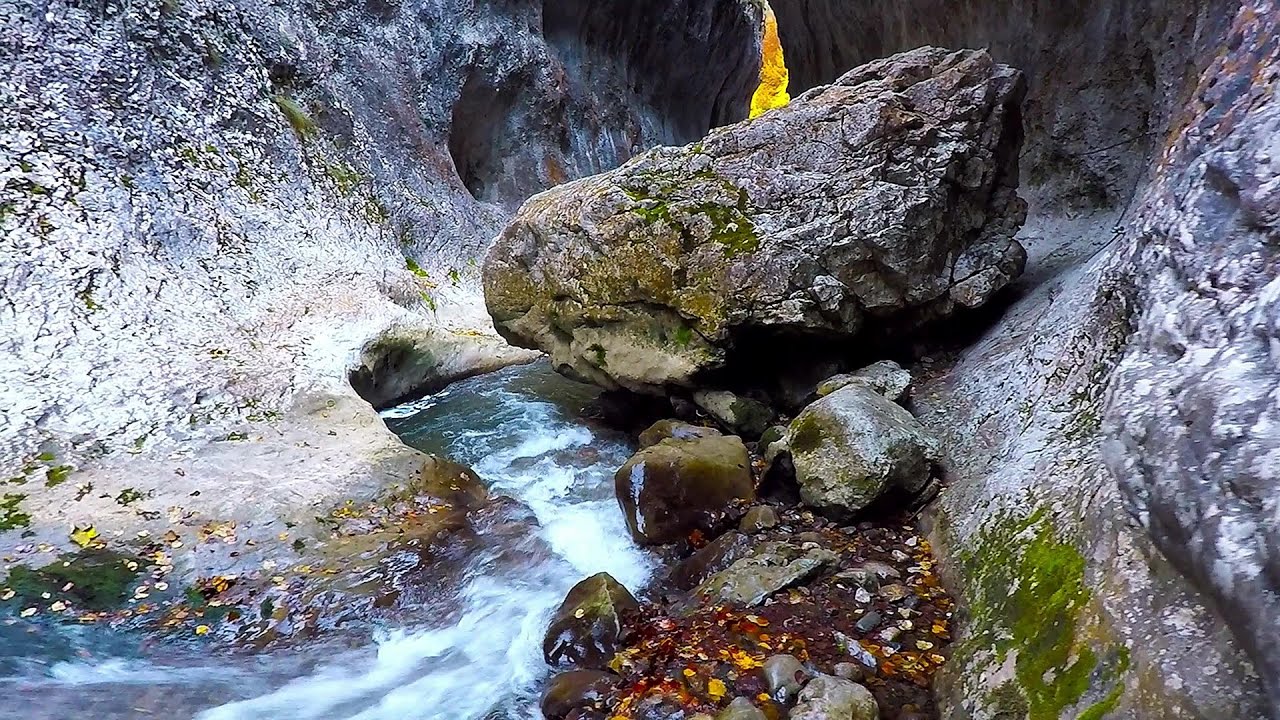
The cave from the spring - Padurea Craiului Mountains (8 photos) 34 km away. Pestera de la Izvor (The cave from the spring) - Padurea Craiului Mountains.

Napistileu cave - Padurea Craiului (10 photos) 34.1 km away. Napistileu (Ungurul Mic) cave - Padurea Craiului Mountains.


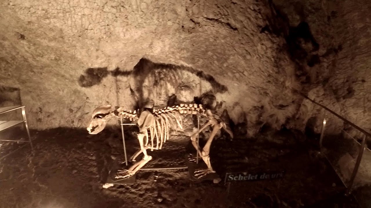
Sohodol pit cave - Padurea Craiului Mountains (10 photos) 36 km away. Sohodol pit cave (Avenul Sohodol) - Padurea Craiului Mountains.

Moanei Cave - Padurea Craiului Mountains (58 photos) 36.2 km away. The Moanei Cave (Pestera Moanei) is located on the upper course of the Misid River, on the right side of the Misid Gorge (Cheilor Misidului). The cave has two entrances, one fossil and sloped, while a subterranean stream flows through the active gallery.

[ Top ↑ ]
Videos of nearby places


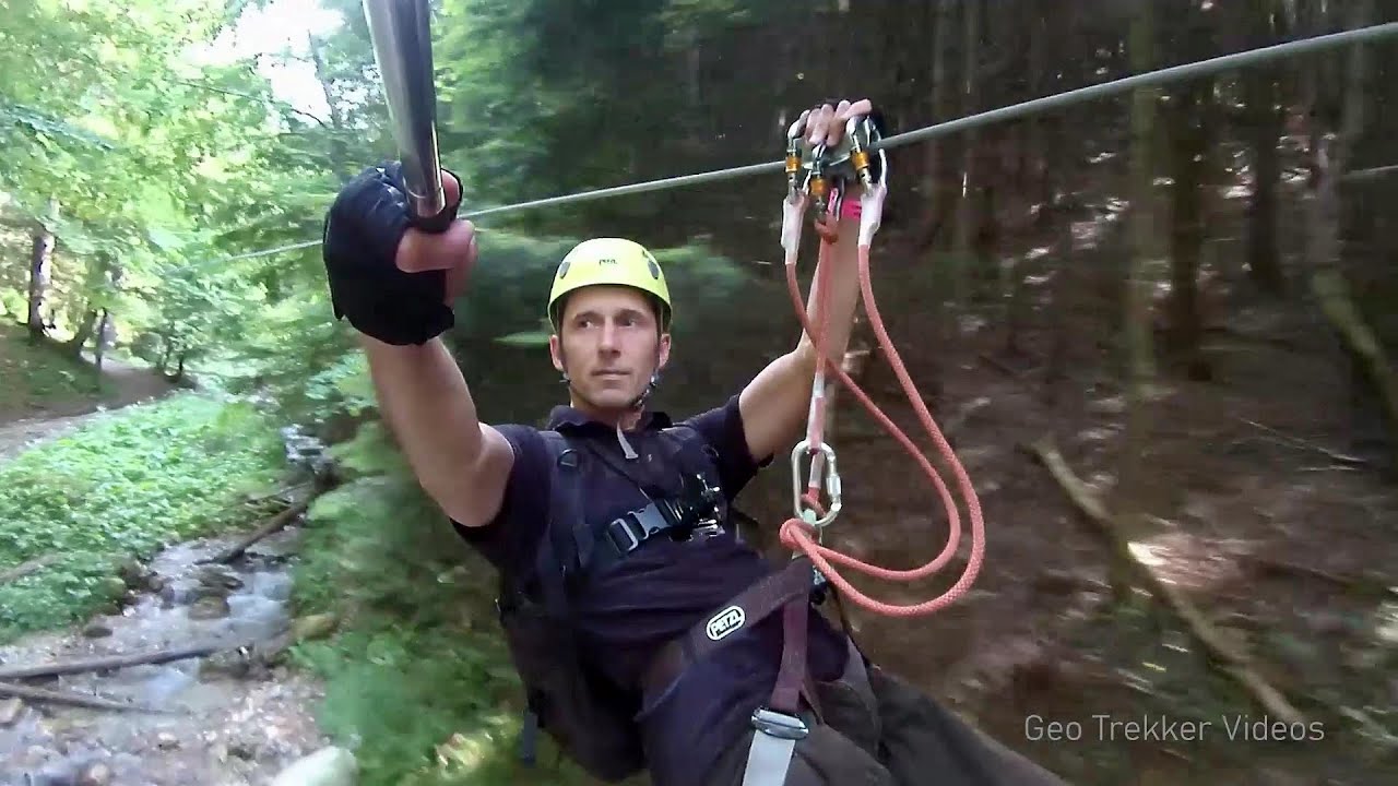
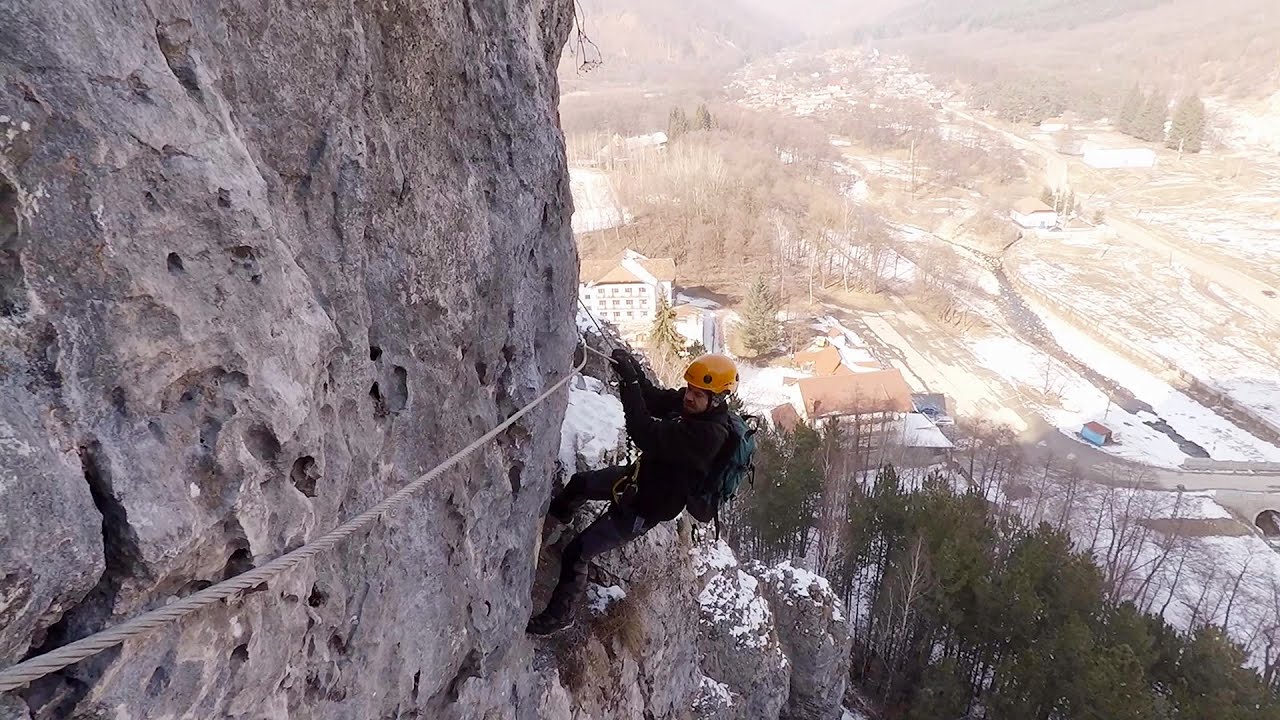
Via Ferrata Fairy Castle - Vadu Crisului 29.4 km away. Via Ferrata Fairy Castle (Castelul Zanelor, Casa Zmeului, The House of the Dragon) - Vadu Crisului. South of Vadu Crisului, in the Padurea Craiului Mountains, lies the Vadu Crisului Gorge, a section of the Crisul Repede river that narrows between rocky walls.

Fairy Cliff via ferrata route - Vadu Crisului 29.5 km away. Fairy Cliff (Peretele Zanelor) via ferrata route - Vadu Crisului. In Vadu Crisului, in the Padurea Craiului Mountains, on the right bank of the Crisul Repede, you can find the newest, in chronological order (2015) the fifth Transylvanian, new type of via ferrata route.

Vadu Crisului cave 30 km away. The Vadu Crisului Cave, with a total length of over 1000 meters, is located in the picturesque gorge of Crisul Repede creek. It consists of a gently meandering, long passage that features an active, stream level next to an upper, fossil level in its first section.

Other places
Mucanj via ferrata and the Boze Javorca cave Ravna Gora 436.8 km away. Difficulty level C/D, total length: 500 m, height difference: 200 m, year of construction: 2022. The via ferrata is free to climb.
Ramet Gorge Goagiu Creek 134.3 km away. Ramet Gorge (Cheile Rametului) - Goagiu Creek (Paraul Goagiu), Trascau Mountains. The Ramet Gorge is the wildest canyon in the Trascau Mountains.

Small Via ferrata Rasnoavei Gorge 308.9 km away. In the past few days, it has snowed, so I climbed the two climbing routes in the Rasnoavei Gorge under winter conditions. While the lower part of the challenging Big via ferrata was dry, the upper section had patches of snow and icicles.
Saeva Dupka cave Brestnitsa 482 km away. The Saeva Dupka Cave is located 2 km south of the village of Brestnitsa. In its five chambers and 400 meters of passageways, you can see the most beautiful cave formations in Bulgaria.
Berim via ferrata Zubin Potok 490.9 km away. Difficulty level D, total length: 4 km, height difference: 520 m, year of construction: 2015. Climbing season: May 1 - October 30.
Womens Spiral, Cave Ridge, and The Great Crack iron paths Baia de Fier 247.7 km away. Perhaps the most interesting via ferrata among the routes in the Baia de Fier area is the Womens Spiral. After completing it, I can say that it is the second most thrilling via ferrata in Romania, following the Big Via Ferrata at Rasnov.
Muierii Cave Baia de Fier 247.8 km away. We visited the Baia de Fier area, and climbed on the rock that also conceals the Women's Cave (Pestera Muierilor). Between two via ferrata routes, we also participated in one of the guided cave tours, which depart every hour.
[ Top ↑ ]
Copyright © 2003-2026 Trekkingklub and friends. Reproduction of any text, picture or video from this website, either in printed or electronic form, is prohibited without prior written permission. Website made with love  in Miercurea Ciuc.