Tourist attractions near Poiana Marului (Zavoi, Caras-Severin county, Romania)
Photos of nearby places


[ Top ↑ ]
Videos of nearby places

Billy-goat lake, Closed Gates - Retezat Mountains 30.1 km away. The most unique ridge trail of the Retezat Mountains is the Closed Gates.Below, at an altitude of 2070 m above sea level, is the Billy-goat lake.

Corcoaia Gorge - Gorj county 32.3 km away. The Corcoaia Gorge is one of the most beautiful tourist attractions in the Cerna Valley. It can be reached by car, 43 km away from Baile Herculane, of which about 17 km is on a dusty gravel road.

Sheepdogs - Govora sheepfold - Retezat mountains 34.6 km away. On the second day of my weekend Retezat hike, I visited a sheepfold on the Lancita Ridge. To my great disappointment, they didn't make cheese or curd here.

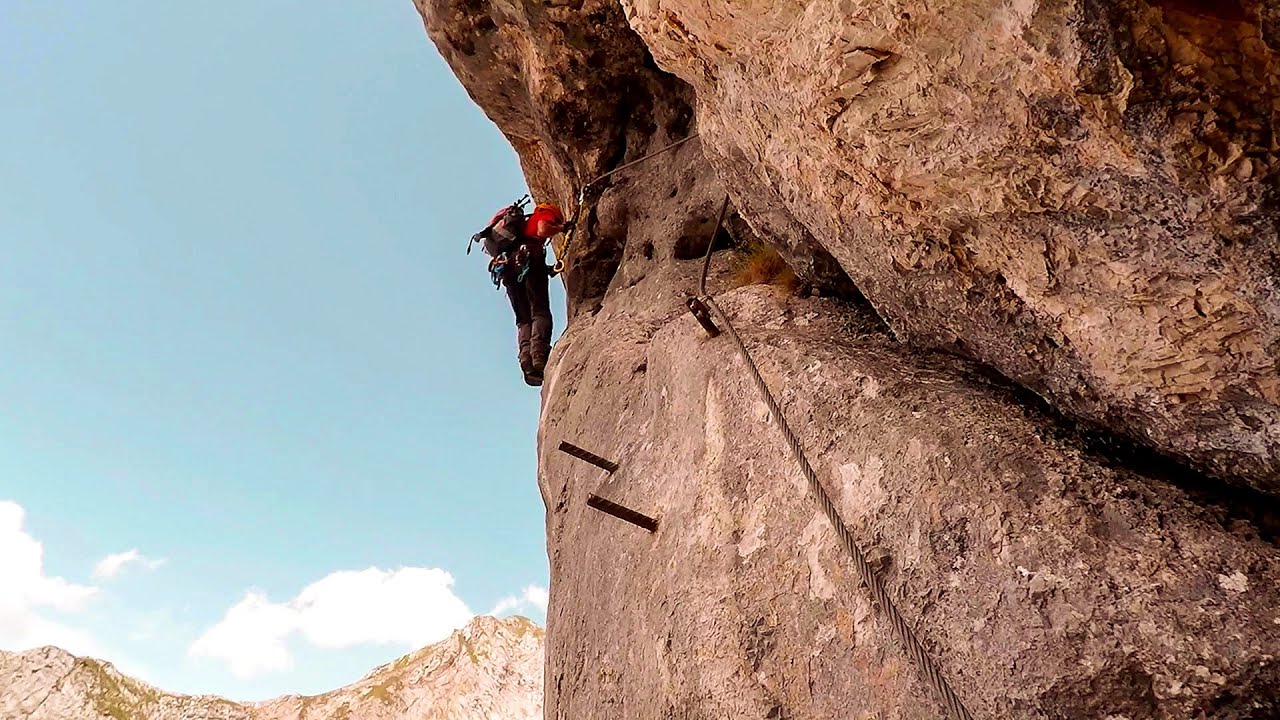
Blasted Rock hanging path - Cerna Valley 42.5 km away. The Blasted Rock (Piatra Puscata) hanging path is located on the geographical right bank of the Cerna River, near the confluence of the Iuta stream, approximately 20 km from Baile Herculane. In this area, the presence of limestone formations has caused the valley to become narrower.

The Wooden Ladders - The villages of Scarisoara and Inelet, Cerna valley 43.1 km away. Scarisoara and Inelet are small, isolated villages located in the mountainous region of Banat. They are situated on the right bank of the Cerna River, approximately 19 km away from the Baile Herculane resort.
Other places
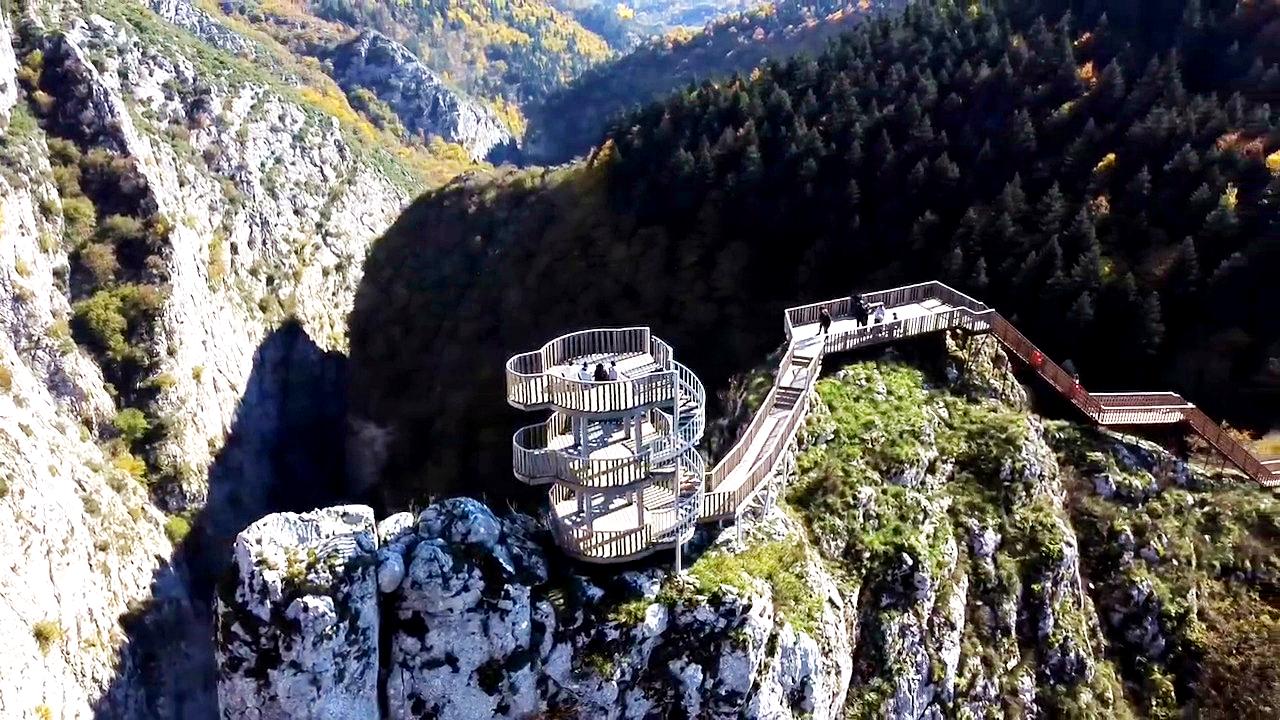
Valla Canyon Observation Deck Küre Mountains National Park Situated within Küre Mountains National Park, the Valla canyon is one of the deepest in Turkey, with a depth of 800 meters. The 12 kilometer long canyon was formed by the Devrekani Stream, which cuts through the Küre Mountains.

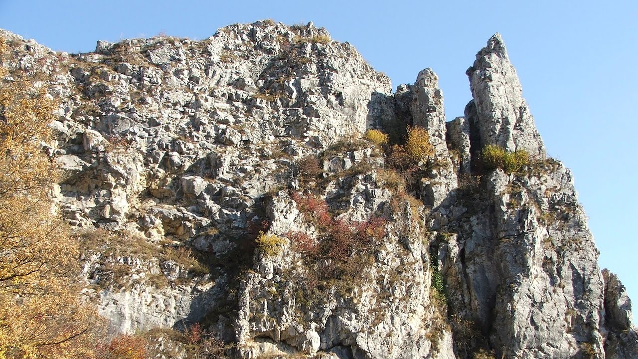
Black Rocks iron path Bihor Mountains 124 km away. Black Rocks is located in the Bihor Mountains, near the Vartop Saddle, to the west of it. It is interesting that the locals (if I understood correctly) do not know this name, but use the name Piatra Buna (meaning Good Stone) for this spectacular rock.
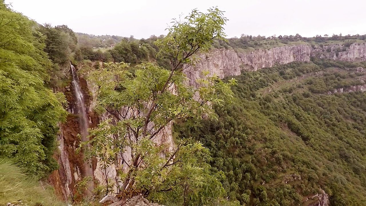
Bovska Skaklya waterfall Iskar gorge 270.7 km away. The Bovska Skaklya waterfall is located near the town of Svoge in Bulgaria. The waterfall formed on the Zaselska River has several reported heights online (120 m, 85 m).

Buzludzha monument Kazanluk 374 km away. Buzludzha is a historically significant mountain located in the Central Balkan Mountains of Bulgaria. At its summit, at an altitude of 1432 meters above sea level, there is an abandoned monument.

Huda lui Papara cave Salciua de Jos 130 km away. Huda lui Papara cave (Paparas Hole) - Salciua de Jos, Trascau Mountains.
Kaiserschild Klettersteig Eisenerzer Ramsau The 2,085-meter-high Kaiserschild peak is situated on the northern edge of the Eisenerz Alps in Styria, Austria. It forms a double summit with the slightly taller Hochkogel peak, which stands at 2,105 meters.
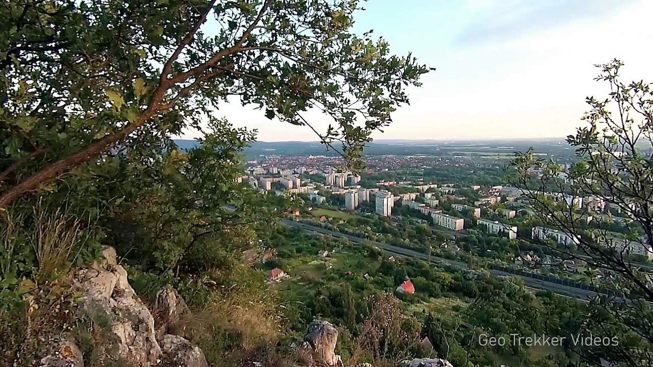
Agnes Waterfall Western Mecsek 345.2 km away. The Agnes Waterfall is the largest waterfall in the Mecsek region, although the stream's water only cascades down from a height of one and a half to two meters, over a travertine ledge. Nearby attractions include the Meleg-mány Waterfall and the Mánfa Stone-Cave.
Other destinations
Gornjak via ferrata and Kudelinovs fortress Zdrelo 148.8 km away. Difficulty level C/D, total length: 400 m, height difference: 330 m, year of construction: 2019, total length of the route to Kudelinov's fortress: 1100 m. Access to the via ferrata is free.
[ Top ↑ ]
Copyright © 2003-2026 Trekkingklub and friends. Reproduction of any text, picture or video from this website, either in printed or electronic form, is prohibited without prior written permission. Website made with love  in Miercurea Ciuc.