Tourist attractions near Moara de Padure (Baisoara, Cluj county, Romania)
Photos of nearby places

Spherical concretions from Feleac (18 photos) 16.3 km away. The spherical concretions from Feleac are sedimentary rock materials that were cemented together to form a hard structure. The surrounding sediments slowly erode away, exposing the concretion.

Turda Gorge - Trascau Mountains (9 photos) 18.9 km away. Turda Gorge (Cheile Turzii) - Trascau Mountains.

Turda Gorge - Trascau Mountains (11 photos) 18.9 km away. Turda Gorge (Cheile Turzii) - Trascau Mountains.

Turda Gorge via ferrata (24 photos) 19.2 km away. Turda Gorge iron path (Via ferrata Cheile Turzii) - Trascau Mountains.

Szekler Stone North - Trascau Mountains (8 photos) 20.9 km away. Szekler Stone North (Piatra Secuilor Nord) - Trascau Mountains.

Szekler Stone - Trascau Mountains (42 photos) 20.9 km away. Szekler Stone (Székely-kő, Piatra Secuilor) - Trascau Mountains.

Aries valley - Trascau Mountains (10 photos) 21.1 km away. Aries (Golden) valley - Trascau Mountains.

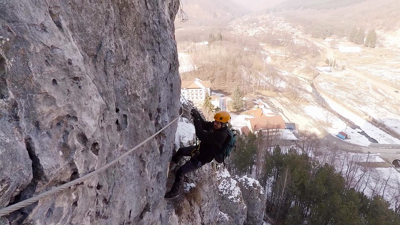
Tureni Gorge iron path visiting route (24 photos) 21.1 km away. Tureni Gorge iron path visiting route (via ferrata) - Trascau Mountains.


Balcony Clearing - Trascau Mountains (6 photos) 21.9 km away. Balcony Clearing (Erkély-tisztás, Balconul Sipotelor) - Trascau Mountains.

Dark Blue Bruises of the Ponor, Bedeleu (24 photos) 22.9 km away. Dark Blue Bruises of the Ponor (Vanatarile Ponorului), Bedeleu - Trascau Mountains.

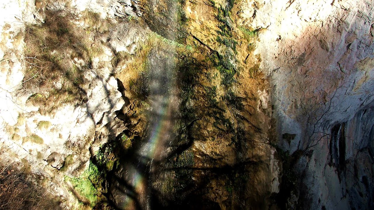
Dark Blue Bruises of the Ponor - Trascau Mountains (16 photos) 25.7 km away. The Dark Blue Bruises of the Ponor (Vanatarile Ponorului) is a polje-type protected area. Polje is a Slovenian word meaning plain, and it refers to a surface karst form.


Goats Ledge - Trascau Mountains (10 photos) 33.8 km away. Goats Ledge (Brana Caprei, Kecskék párkánya) - Trascau Mountains .

Stone of Cetea, Horse Pit - Trascau (16 photos) 37.5 km away. Stone of Cetea, Horse Pit (The pit cave from the Stone of Cetea) - Trascau Mountains.

Goat Stone - Craiva, Trascau Mountains (18 photos) 43.6 km away. Goat Stone (Piatra Craivii, Piatra Craivei, Apulon) - Craiva, Trascau Mountains.


[ Top ↑ ]
Videos of nearby places
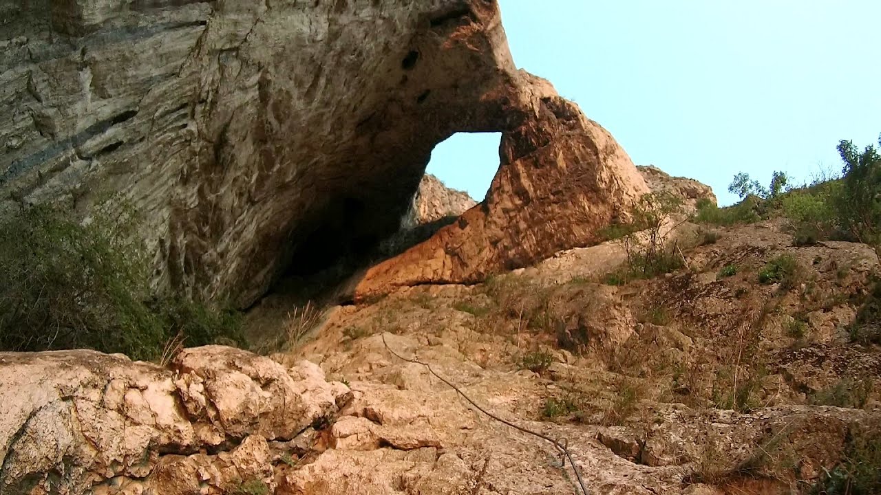
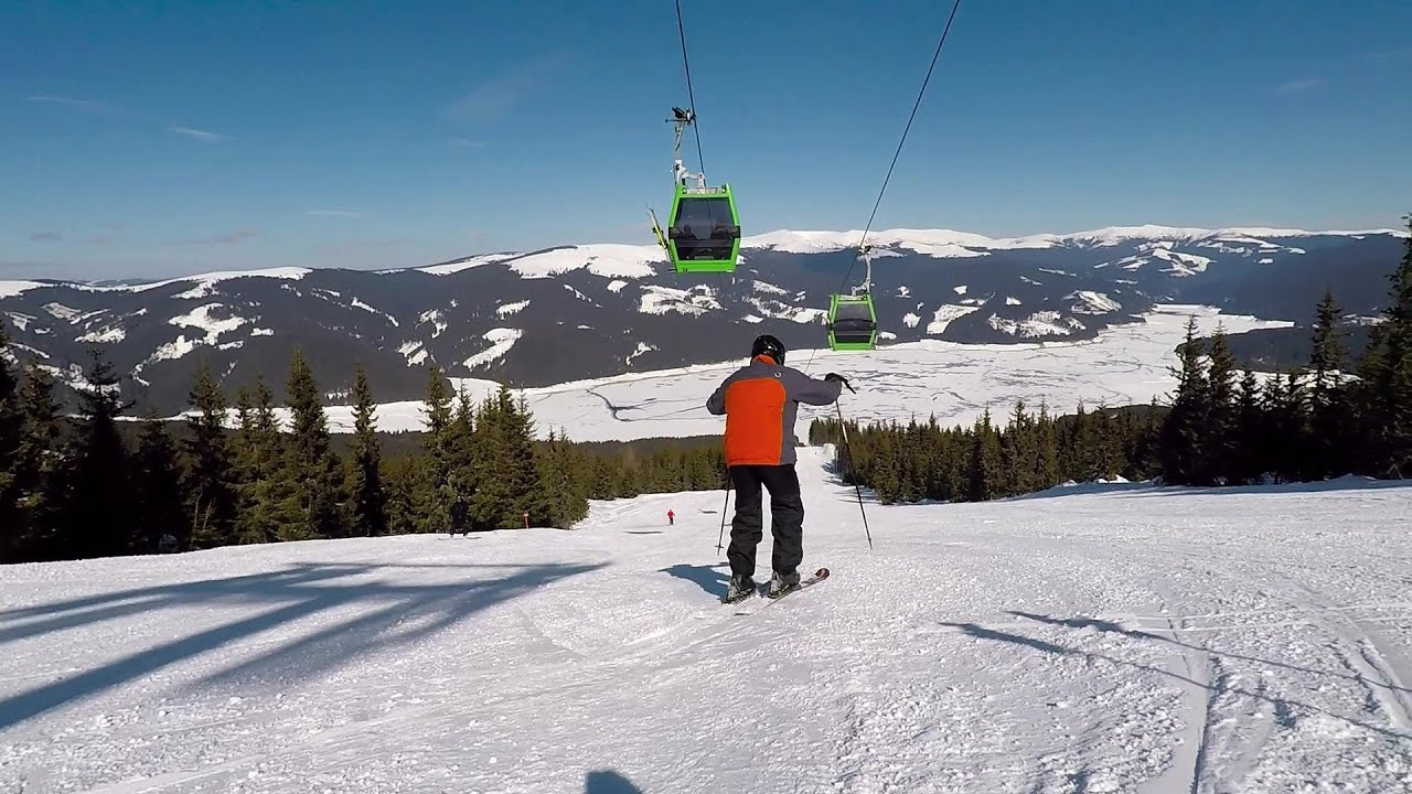
Hilis cave - Turda Gorge via ferrata 19.3 km away. While the first time I climbed this via ferrata (Sky Fly) in the morning, now I climbed it in the light of the setting sun. The red-dressed rocks created a special atmosphere, and I could admire the sunset from the top of the climbing route.
Tureni Gorge iron path 21.4 km away. Tureni Gorge iron path visiting route (Via ferrata Cheile Tureni), Trascau Mountains.


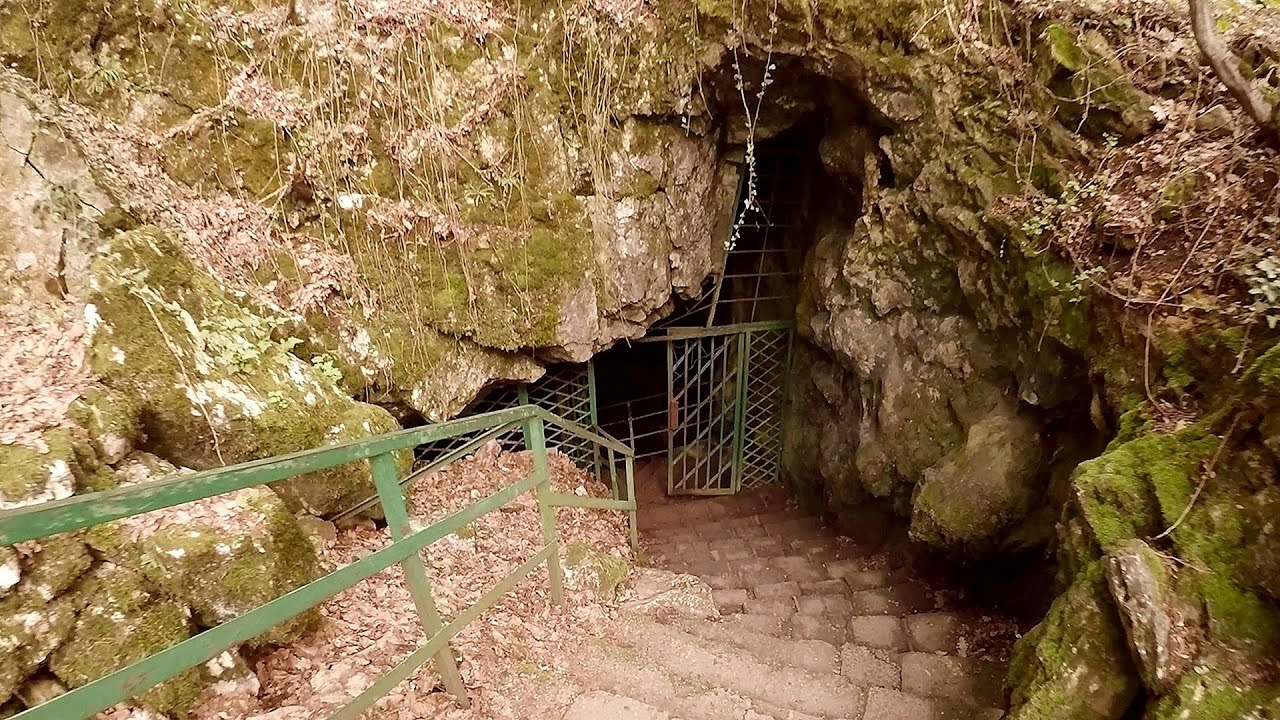
Huda lui Papara cave - Salciua de Jos 24.6 km away. Huda lui Papara cave (Paparas Hole) - Salciua de Jos, Trascau Mountains.
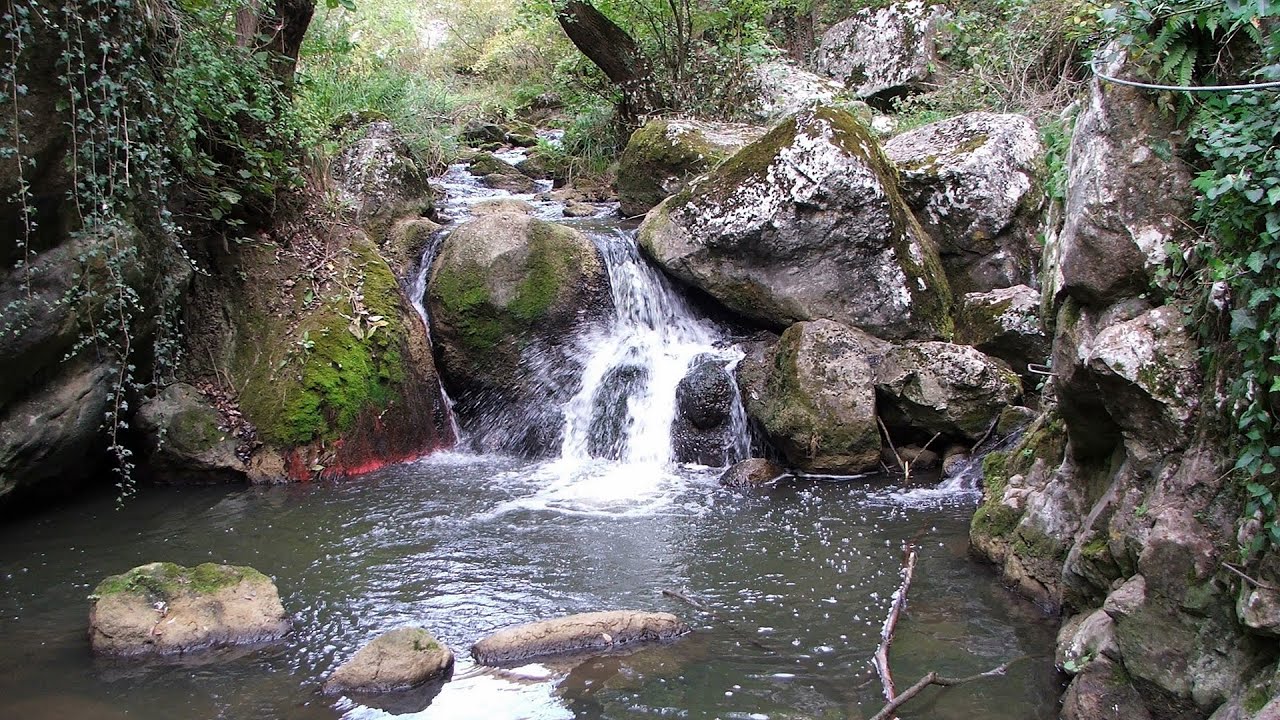
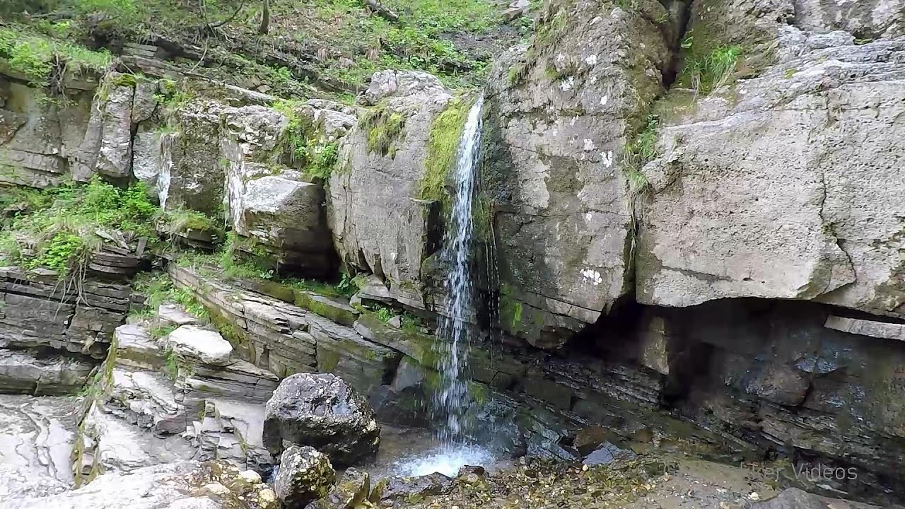
Dalbina waterfall, Dark Blue Bruises of the Ponor 25.7 km away. Dalbina waterfall, Dark Blue Bruises of the Ponor (Vanatarile Ponorului).
Other places
Womens Spiral, Cave Ridge, and The Great Crack iron paths Baia de Fier 158.5 km away. Perhaps the most interesting via ferrata among the routes in the Baia de Fier area is the Womens Spiral. After completing it, I can say that it is the second most thrilling via ferrata in Romania, following the Big Via Ferrata at Rasnov.
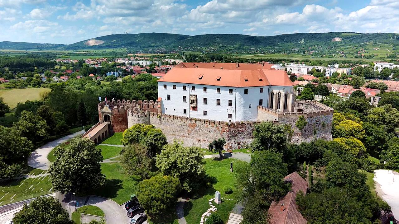
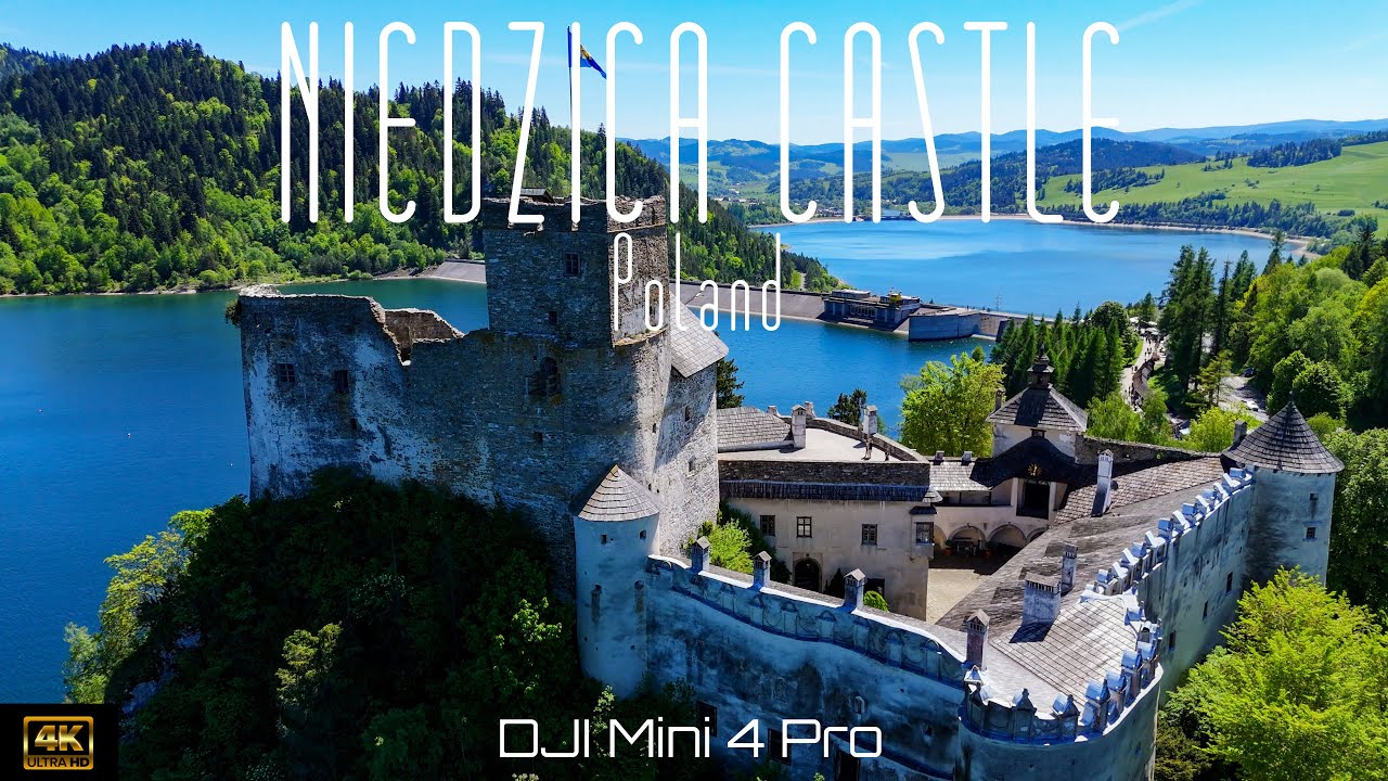
Siklós castle 403.7 km away. The Siklós Castle is an important historical landmark in Hungary. Its fortress walls were laid around 1260, with the first written record dating back to 1294.
Saeva Dupka cave Brestnitsa 399.6 km away. The Saeva Dupka Cave is located 2 km south of the village of Brestnitsa. In its five chambers and 400 meters of passageways, you can see the most beautiful cave formations in Bulgaria.

Crivadia Gorge 127.8 km away. The Crivadia Gorge is located next to the village of Crivadia, which belongs to Banita. Access is difficult, and the hike is made through the streambed, with water up to the waist at its narrowest point.
Downstream of the Izvorul Dorului creek Vanturis waterfalls 212 km away. Downstream of the Izvorul Dorului (Source of longing) creek - Vanturis waterfalls, Bucegi Mountains.
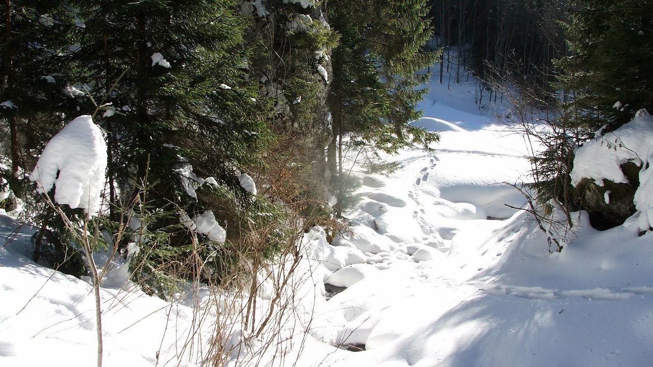
With snowshoes in the Tihu creek valley Rastolita 139.2 km away. We met geotrekking treasure hunters from Gheorgheni, Miercurea Ciuc and Targu Mures in Rastolita. We entered the Calimani Mountains with an off-road vehicle, along the Rastolita and Tihu streams.

[ Top ↑ ]
Copyright © 2003-2026 Trekkingklub and friends. Reproduction of any text, picture or video from this website, either in printed or electronic form, is prohibited without prior written permission. Website made with love  in Miercurea Ciuc.