Tourist attractions near Corbu (Corbu, Constanta county, Romania)
Photos of nearby places

Ezerets beach - Shabla, Dobrich (10 photos) 89.3 km away. The beach near the village of Ezerets is semi-wild, relatively quiet and clean, without sunbeds or umbrellas. The sand is fine-grained, and the water is clear.

Bird Observatory at Shabla Tuzla Lake (11 photos) 92.9 km away. Three coastal lakes - Shabla, Ezerets, and Shabla Tuzla - support a great variety of plants and animals. The lakes are especially important in winter, and they are protected to provide a refuge for their unique wildlife.

Fortress Kariya and the Lighthouse on Cape Shabla (13 photos) 94.8 km away. Shabla's lighthouse marks the easternmost point of Bulgaria. With its 32-meter height, it is the oldest and tallest lighthouse on the Black Sea.

Stone Sea and Little Sea beach - Shabla (10 photos) 97 km away. Monument of fallen Soviet aviators (May 17, 1944), Stone Sea and Little Sea beach - Shabla.

The coast of the Black Sea north of Tyulonovo (36 photos) 99.1 km away. The Portal, the Salt Pools, the Wild Frog's Point, the Seal Cave, the Passage and the Whale.

Fishermens harbor - Tyulenovo (14 photos) 100 km away. Tyulenovo church, Monument to Lieutenant Valentin Terziev, Fishermen's harbor. Tyulenovo translates to Village of Seals in Bulgarian, although seals have not been observed in the area since the 1980s.

Tyulenovo Cliffs and the Rock Arch (23 photos) 100.3 km away. The coast of Tyulenovo consists of a complex of sheer reefs, steep sea cliffs, and natural and artificial sea caves. There are picturesque beaches and rocky coasts, along with adjacent marine areas, both north and south of Tyulenovo.

The coast of the Black Sea south of Tyulenovo (10 photos) 100.8 km away. The coast of the Black Sea south of Tyulenovo.

The cave with the metal ladder - Tyulenovo (27 photos) 101.7 km away. The cave with the metal ladder (Peshterata s metalnata stalba) - Tyulenovo.

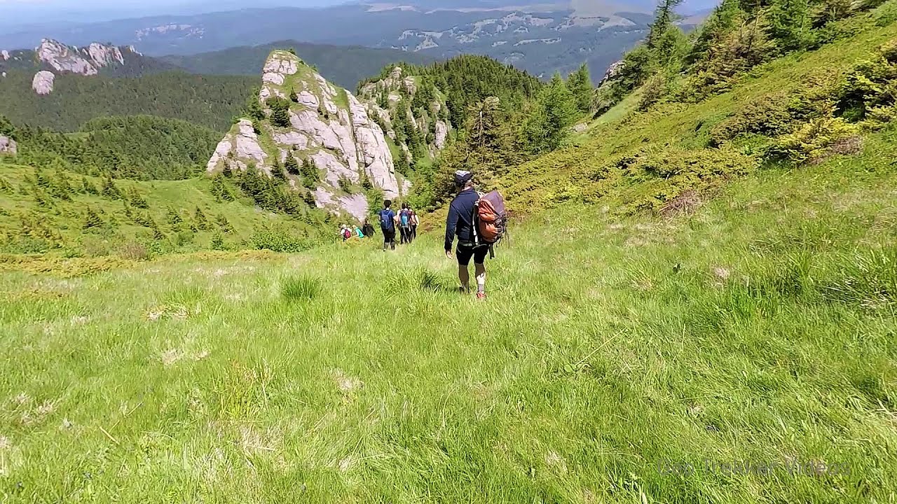
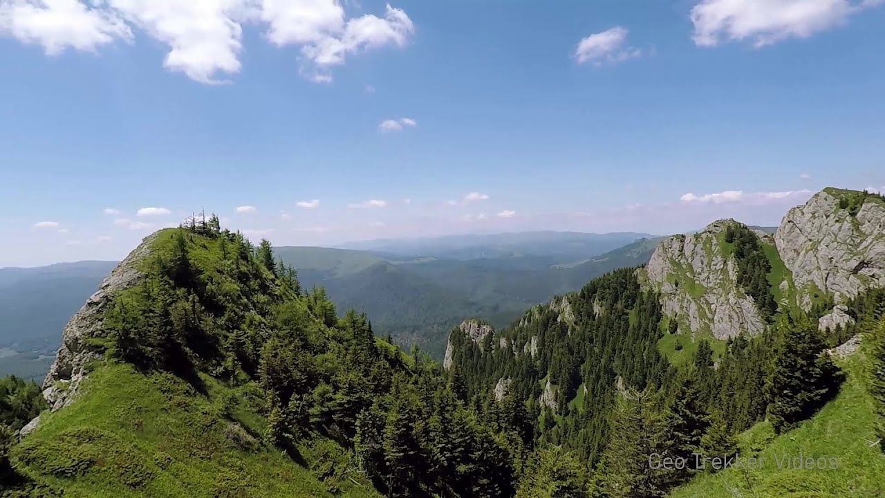
Pricopanului ridge - Macin Mountains (61 photos) 103.4 km away. Pricopanului ridge is the secondary, but imposing ridge of Macin Mountains, characterized by huge granite formations, lofty rocks and wide sceneries all around. The landscape, as well as the relief is of mountain type, and even if the height of the ridge is apparently small, the ascending effort is slighty sustained.

The Gate of the 40 Virgins (12 photos) 114.7 km away. The Gate of the 40 Virgins, The monument to Admiral Ushakov on Cape Kaliakra.


Cape Kaliakra (12 photos) 115.8 km away. Cape Kaliakra, Archer Statue, The Chapel of Saint Nicholas.

Wonderful Rocks - Asparuhovo (24 photos) 193 km away. The Wonderful Rocks (Chudnite skali), a very beautiful and impressive rock formation, are located on the right bank of the Luda Kamchiya River, on the shores of the Tsonevo Reservoir and near the village of Asparuhovo. They have the shapes of pointed, tall cones and pyramids.

White dacitic tuff - Manzalesti (4 photos) 200.6 km away. The 'Grunjul de la Manzalesti' is composed of dacitic tuff, which originates from volcanic ash. It is located in the center of the Manzalesti commune, Buzau county, at the confluence of the Slanic and Jgheab streams.

Replica of the Eiffel Tower and Arc de Triomphe - Sveti Vlas (5 photos) 201.2 km away. Small-sized replica of the Eiffel Tower and Arc de Triomphe, in front of the decorative pool at the Romance Paris luxury hotel complex, in Sveti Vlas (Saint Blaise) resort.


UNESCO World Heritage Site: Nesebar, the pearl of the Black Sea (20 photos) 206.9 km away. Nesebar is an ancient Bulgarian city on the Black Sea Coast, today a UNESCO World Heritage Site. It is renowned for its over three thousand years of history, diverse cultural heritage, and well-preserved medieval monuments.

Chiojdu (18 photos) 225.5 km away. Basca cu Cale - La Sipot waterfall - Basca fara Cale - Tata Lice boarding-house - Chiojdu village.

Seagulls beach and the Marina Port Sozopol harbour (2 photos) 233 km away. Marina Port Sozopol offers everything an experienced sailor could wish for. The port has 243 berths for boats up to 25 meters long, equipped with electricity and drinking water.

Art Complex Anel Sozopol - Budjaka Peninsula (6 photos) 234.1 km away. Art Complex Anel is located on Bulgaria's Black Sea coast near Sozopol, on the Budjaka Peninsula. It is the world's only hotel-art-museum complex, featuring a natural lagoon and stunning architecture.

[ Top ↑ ]
Videos of nearby places

Stone Forest - Slanchevo 150.5 km away. The Stone Forest (Stones stuck in the ground, Pobiti Kamani) of Bulgaria is located 18 km west of Varna, at the foothills of the Eastern Balkan Mountains. Its Bulgarian name, Pobiti Kamani, translates to planted stones, and it is referred to in English as the Stone Desert or Stone Forest.

Cherven, a medieval fortified town - Bulgaria 227.8 km away. Located about 30 km south of the city of Ruse in Bulgaria, the Cherven medieval fortress can be found in the Rusenski Lom Nature Park. Originally a Byzantine fortification from the 6th century, it reached the height of its development in the 14th century.
Searching for rhododendrons - Ciucas Boulevard 245 km away. Red Mountain (Muntele Rosu), Gropsoarele-Zaganu ridge - Ciucas Mountains
Waterfalls of Velnita stone-quarry - Targu Ocna 262.6 km away. Starting from the Velnita quarry, an adventurous nature enthusiast, accustomed to wild and rugged terrains, will discover a true waterfall paradise. At the upper part of the quarry, two streams converge.
Other places

SkiGyimes ski slope Lunca de Sus 317.1 km away. It is well-known that in Rimetea, due to the Piatra Secuiului (Szekler's Rock) mountain, the Sun rises twice. However, perhaps few know that in Lunca de Sus, the Sun sets three times.

Big Via ferrata Rasnoavei Gorge 278.6 km away. The most dangerous Eastern European iron path, and also one of the most beautiful via ferrata routes in Romania, is in the Rasnoavei Gorges, Postavaru Mountains.The route is 450 m long, with a level difference of 220 m.

Acapulcos spur via ferrata Acapulco's spur (Pintenul lui Acapulco) via ferrata (B/C) - Montana Land, Suncuius.

Black Rocks iron path Bihor Mountains Black Rocks is located in the Bihor Mountains, near the Vartop Saddle, to the west of it. It is interesting that the locals (if I understood correctly) do not know this name, but use the name Piatra Buna (meaning Good Stone) for this spectacular rock.

Vadu Crisului cave The Vadu Crisului Cave, with a total length of over 1000 meters, is located in the picturesque gorge of Crisul Repede creek. It consists of a gently meandering, long passage that features an active, stream level next to an upper, fossil level in its first section.

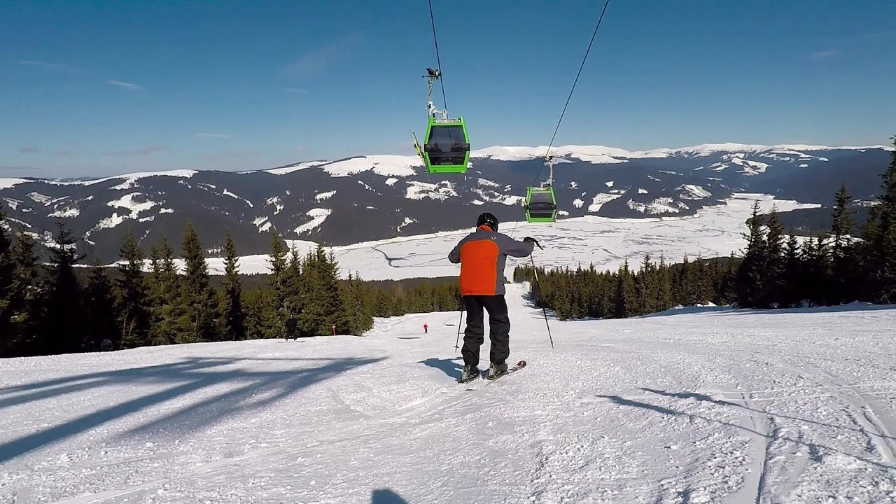
Ski resort Poiana Brasov Postavarul Mountains 277.4 km away. Shining sun and an Austria-feeling on the impeccable slopes of the ski paradise Poiana Brasov above Brasov. Sunbathing, coffee and refreshing drinks on the terrace of Julius Römer chalet.
Other destinations
Abandoned Sports Hall Varna 142.4 km away. An abandoned sports hall in Varna, with an unfinished dormitory and tennis courts across three levels.
[ Top ↑ ]
Copyright © 2003-2026 Trekkingklub and friends. Reproduction of any text, picture or video from this website, either in printed or electronic form, is prohibited without prior written permission. Website made with love  in Miercurea Ciuc.