Tourist attractions near Stanceni (Stanceni, Mures county, Romania)
Photos of nearby places

The Old Women of Gurghiu stone mushrooms, Batrana Peak (16 photos) 12.6 km away. The Old Women of Gurghiu (Babele Gurghiului) stone mushrooms, Batrana Peak (Varful Batrana). In the Gurghiu Mountains, 10 km from Toplita, near the peak Batrana, there are several groups of strange rocks.


Borsec spa resort (9 photos) 24.8 km away. Borsec is one of the most beautifully situated resorts in the Eastern Carpathians. It consists of two parts: Lower Borsec and Upper Borsec, the latter being the actual resort area.

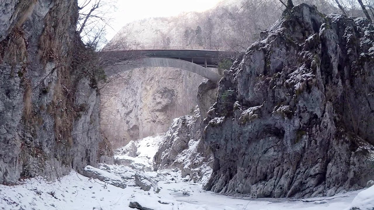
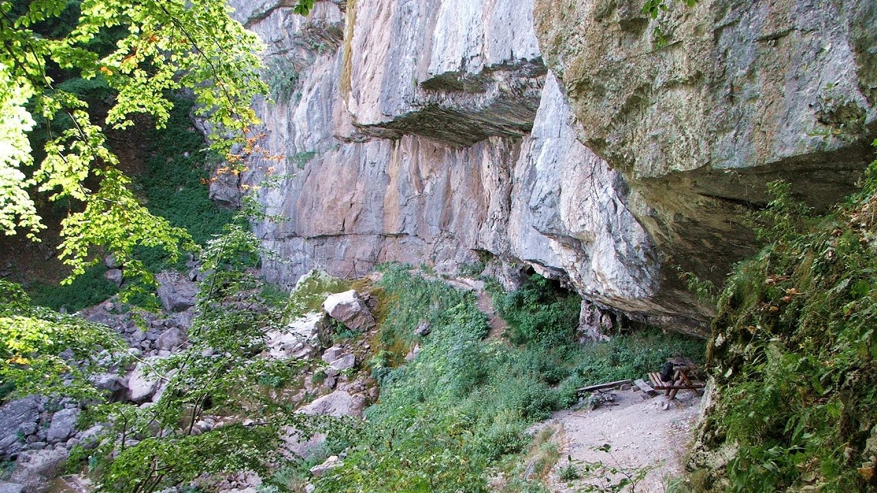
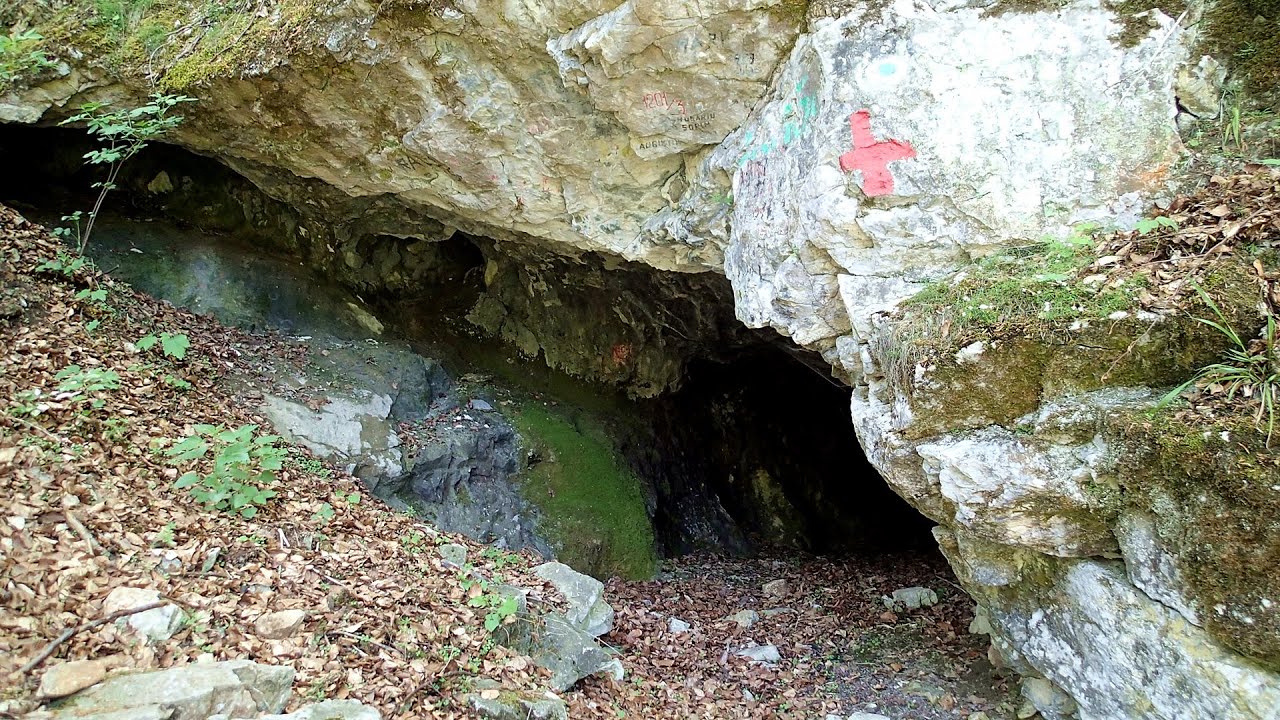
Bears cave, Ice Grotto - Borsec (12 photos) 24.9 km away. The Bears' cave is actually a deep rock fissure with a path leading into it. Local belief long considered it to be the habitat of bears, which is where the name comes from.

Stalactite Cave - Round Chair Hill, Borsec, Giurgeu Mountains (24 photos) 25.2 km away. The Stalactite Cave on the Round Chair Hill is the longest cave formed in travertine in the country. Its formation was mainly influenced by an open system of diaclases, which fragmented the travertine, with the contribution of infiltrated rainwater being essential in the transport and dissolution of limestone.

The Valleys of the Streams of the Cups and Rogozu (6 photos) 28.5 km away. The Valleys of the Streams of the Cups (Cupelor, Kupás) and Rogozu (Szacskai) - Borsec. September 7, 2003; September 14, 2003; November 10, 2007.

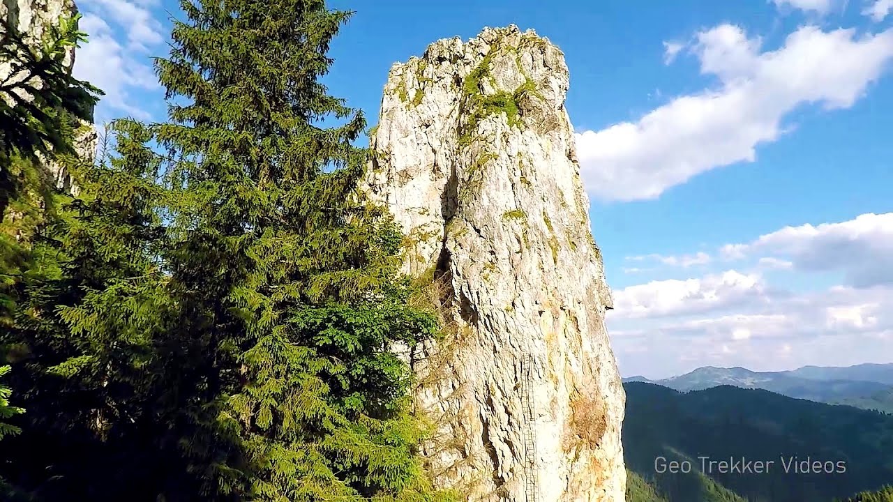
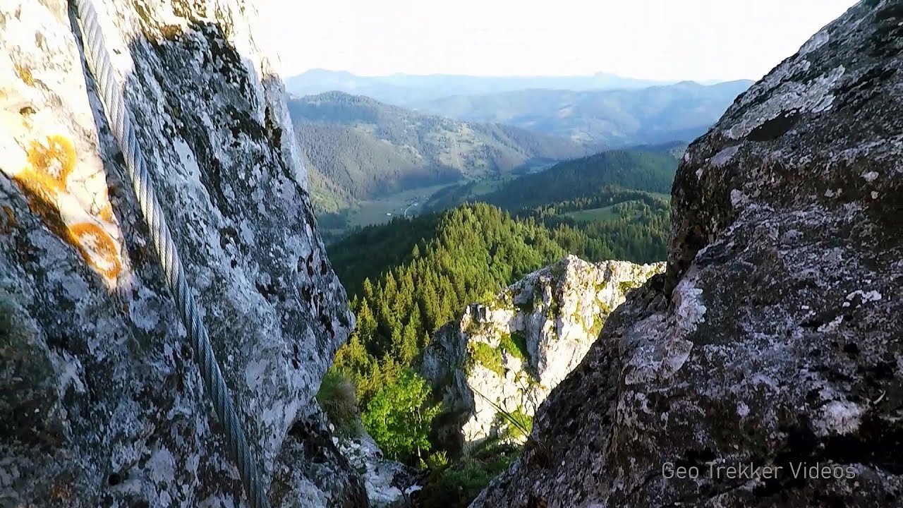
Table Rock - Gurghiu Mountains (10 photos) 31.5 km away. Table Rock (Asztal-kő, Stanca Mesei) - Gurghiu Mountains.

Hollow Stone - Gurghiu Mountains (5 photos) 35.6 km away. Hollow Stone (Likas Stone) - Gurghiu Mountains.

Shepherd Stone - Gurghiu Mountains (8 photos) 41.4 km away. Shepherd Stone (Pakulárkő, Piatra Pacurarului) - Gurghiu Mountains.

Isuica Valley - Becheci Peak (12 photos) 44 km away. Isuica (Iszulyka) Valley - Becheci (Bekecs) Peak.

Small Pine Stone - Gurghiu Mountains (8 photos) 44.5 km away. Small Pine Stone (Kisfenyős Stone) - Gurghiu Mountains.

Sugo Cave - Giurgeu Mountains (60 photos) 45.4 km away. The Sugó Cave is located at the western foot of Sipos Stone (1566 m) at an altitude of 1064 m above sea level. It consists of a system of passages with four levels, totaling 1021 m in length and a level difference of -60 m.


White Glade, Horseshoe Rock (17 photos) 49.3 km away. White Glade (Poiana Alba), Horseshoe Rock (Piatra Potcoavei) - Hasmas Mountains.

Horseshoe Rock - Hasmas Mountains (9 photos) 49.3 km away. Horseshoe Rock (Piatra Potcoavei) - Hasmas Mountains.

Pit cave with three entrances - Hasmas Mountains (3 photos) 49.5 km away. Pit cave with three entrances (Avenul cu trei intrari) - Hasmas Mountains.

White Glade - Hasmas Mountains (6 photos) 49.9 km away. White Glade (Poiana Alba) - Hasmas Mountains.

Black Hasmas - Hasmas Mountains (27 photos) 50.4 km away. Hasmasul Negru (Black Hasmas) - Hasmas Mountains.

Dry Valley canyon - Hasmas Mountains (9 photos) 50.7 km away. Dry Valley (Paraului Sec) canyon - Hasmas Mountains.

Lazar peak - Hasmas Mountains (18 photos) 52.1 km away. The pit under the Lazar peak 2004-09-02, 2014-11-27.

[ Top ↑ ]
Videos of nearby places
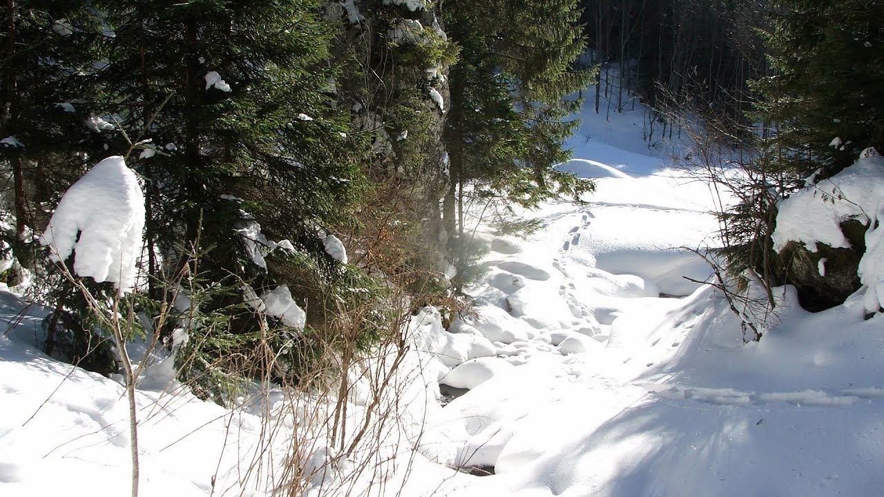
With snowshoes in the Tihu creek valley - Rastolita 17.8 km away. We met geotrekking treasure hunters from Gheorgheni, Miercurea Ciuc and Targu Mures in Rastolita. We entered the Calimani Mountains with an off-road vehicle, along the Rastolita and Tihu streams.
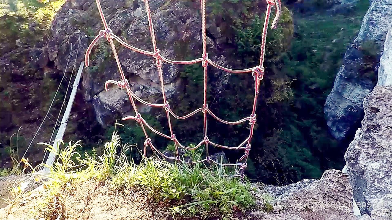
Via ferrata Bear Cave adventure and climbing zone - Borsec 24.9 km away. The Bear Cave in Borsec is a vast natural formation, scattered with rocks and deep crevices. Access to the cave's cavities is through a series of narrow formations resembling canyons, surrounded by giant fir trees and rocks with interesting shapes.
Pricske peak - Giurgeu Mountains 33.8 km away. If we want to reach Pricske (Prisca) peak, which rises above Gheorgheni and Lazarea, we start from the valley of the Güdüc (Ghidut) stream. Our path leads us past the ruins of a building known as the White House.
Falco Tinnunculus via ferrata, the ascent - Falcons Rock, Corbu 35.5 km away. Falco Tinnunculus (Common kestrel) via ferrata (E), the ascent - Falcon's Rock, Corbu. Over Corbu village in Harghita County, on the rocks of Falcon's Rock (Piatra Soimilor), which belong to the Bistrita Mountains, five via ferrata routes have been established.
Falco Peregrinus 2 via ferrata - Falcons Rock, Corbu 35.6 km away. Falco Peregrinus (Peregrine falcon) 2 via ferrata (D) - Falcon's Rock, Corbu.
Other places
Big Cave Nochevo Kodzha in (Golyamata Peshtera, Big Cave) - Nochevo.
Jacob Hill Lookout Western Mecsek Jacob Hill is a popular hiking destination in Western Mecsek, with an elevation of 592 m. At the top, there are the ruins of a Pauline monastery and a lookout tower.
Oltet Gorge Capatana Mountains 225.3 km away. Oltet Gorge (Cheile Oltetului) - Capatana Mountains. That day, we had planned to ski at the Ranca resort, situated alongside the Transalpina high altitude mountain road in the Parang Mountains.
Borov Kamak waterfall Zgorigrad, Vratsa 444.8 km away. The Vratsa eco-trail starts from the village of Zgorigrad, located 6 km from the city of Vratsa in Bulgaria, and ends at the Parshevitza hut. It is also known as the Zgorigradska or Borov Kamak eco-trail.

Billy-goat lake, Closed Gates Retezat Mountains 250.6 km away. The most unique ridge trail of the Retezat Mountains is the Closed Gates.Below, at an altitude of 2070 m above sea level, is the Billy-goat lake.

Fortress Kariya and the Lighthouse on Cape Shabla 462.6 km away. Shabla's lighthouse marks the easternmost point of Bulgaria. With its 32-meter height, it is the oldest and tallest lighthouse on the Black Sea.
The Cave of Thieves Apata 109.2 km away. The Cave of Thieves (Pestera Hotilor, Tolvajos), located in the Olt Gorge at Racos, is situated at the source of the Tepeu creek. From the karst spring that emerges from the cave, one of the branches of the creek originates.

Mill of the Devils Tasna Gorge 305.9 km away. Mill of the Devils (Moara Dracilor) - Tasna Gorge (Cheile Tasnei). The Tasna Gorges are located in the Mehedinti Mountains, approximately 15 km from the resort of Baile Herculane.

Devils Bridge Ardino The Devil's Bridge (Dyavolski Most, in Turkish Sheytan Kyupriya) is located in the gorge of the Arda River, just north of the town of Ardino in Bulgaria. It was constructed in the early 16th century, between 1515 and 1518, by an architect named Dimitar, on the remains of an earlier Roman bridge.
[ Top ↑ ]
Copyright © 2003-2026 Trekkingklub and friends. Reproduction of any text, picture or video from this website, either in printed or electronic form, is prohibited without prior written permission. Website made with love  in Miercurea Ciuc.