Stone Mushrooms - Beli Plast | Video


The Stone Mushrooms (Kamenni Gabi) nature reserve in Bulgaria is situated east of the village of Beli Plast, along the road that connects Kardzhali to Haskovo. Spanning an area of 3 hectares, the reserve is home to several mushroom-shaped rock formations. The stems of these stone mushrooms are pink, while their caps are greenish. They can reach heights of up to 2.5 meters, with caps that are similarly wide.
Read more
Filmed with GoPro HERO5 Black. Music: Tumult by Kai Engel. Copyright © 2017 - 2026 Geo Trekker Videos. Please register for full and ad-free access.
Airport nearby: Plovdiv International Airport (PDV - Plovdiv, Bg), 57 km away.
Photos of nearby places


The Stone Wedding - Zimzelen (12 photos) 14.7 km away. The Stone Wedding (Kamenna_Svatba) - Zimzelen.


Canyon of Waterfalls eco-trail - Smolyan (8 photos) 70 km away. The Soskovcheto Reserve was established in 1968 and covers an area of 177 hectares. It is situated in the Perelishko-Prespanski region of the Rhodope Mountains.


Castle of Ravadinovo (79 photos) 196.6 km away. The Castle of Ravadinovo (In love with the wind), situated near Sozopol in Bulgaria, is a enchanting structure that delights visitors with its fairytale-like appearance and distinctive charm. Also known as In Love with the Wind, this castle is the visionary project of architect Georgi Kostadinov Tumpalov, who dedicated himself to its design and construction from 1996 onward, transforming his dream into reality through perseverance and community support.

Drivers beach between Duni and Arkutino (6 photos) 198.9 km away. Drivers or Chauffeurs Beach, also known as Alepu Beach or Dunes, is one of the most renowned and scenic wild beaches along the South Black Sea coast. Located between Duni Resort to the north and Cape Humata to the south, the beach stretches nearly 3 kilometers in length and reaches a width of up to 70 meters.

Thracian Fortress Ranuli, Lions Head Rock (40 photos) 199 km away. Thracian Fortress Ranuli (Valchan's fortress) and the Lion's Head Rock. On Copper Ridge (Meden Rid), overlooking the Ropotamo River, the Thracian miner tribe Skirmiani constructed a fortress.

Seagulls beach and the Marina Port Sozopol harbour (2 photos) 199.1 km away. Marina Port Sozopol offers everything an experienced sailor could wish for. The port has 243 berths for boats up to 25 meters long, equipped with electricity and drinking water.

Abandoned building Perla 2 - Primorsko (24 photos) 199.3 km away. The abandoned building Perla 2 is located north of Primorsko, in the Stomoplo Bay area, nestled in a forest. The construction of the luxury complex Pearl-2 began in 1986, but the site was abandoned in the spring of 1990, and it became home to bats.

Portraits on the rocks - Primorsko Promenade and Lighthouse (12 photos) 199.6 km away. A wide seaside promenade that connects the northern and southern beaches of Primorsko. Along the promenade, on the rocks by the sea, the colorful images of famous personalities have been drawn.
[ Top ↑ ]
Videos of nearby places

The Stone Wedding - Zimzelen, Kardzhali 14.7 km away. The Stone Wedding (Kamenna Svatba, Petrified Wedding, Kardzhali Pyramids) is located near the village of Zimzelen, close to the city of Kardzhali, in the eastern part of the Rhodope Mountains in Bulgaria. This spectacular natural formation was declared a natural monument in 1974.

Vulva cave - Rhodope Mountains 17.7 km away. The Vulva Cave (Peshtera Utroba) is situated near the village of Nenkovo and the city of Kardzhali, in the Rhodope Mountains of Bulgaria. It derives its name from the shape of its entrance, which resembles a vulva.

Devils Bridge - Ardino 32.2 km away. The Devil's Bridge (Dyavolski Most, in Turkish Sheytan Kyupriya) is located in the gorge of the Arda River, just north of the town of Ardino in Bulgaria. It was constructed in the early 16th century, between 1515 and 1518, by an architect named Dimitar, on the remains of an earlier Roman bridge.
Neviastata ecopath and iron path - Smolyan 65.1 km away. The Neviastata eco-trail is located in Bulgaria, nestled in the heart of the Rhodope Mountains, between Smolyan and Pamporovo. Here, you will find a small, paid adventure park.
Canyon of Waterfalls - Smolyan 70 km away. The eco-trail known as the Canyon of Waterfalls is located in Bulgaria, within the Rhodope Mountains and the Soskovcheto Nature Reserve. It begins at the edge of the Sredoka suburb of the city of Smolyan.
Other places
Roman Baths Geoagiu-Bai, Metaliferi Mountains 496 km away.
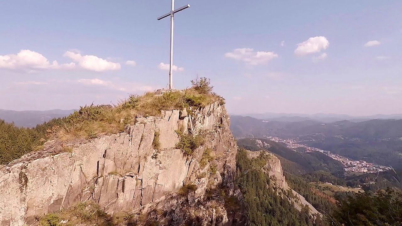
Preachers Rock Bodoc Mountains 471.8 km away. In the Bodoc Mountains, west-southwest from the Henter peak, we find a rock formation shaped like a mushroom by erosion, called Preacher's Rock. This 2-meter high rock probably got its name from the pagan Hungarian priests, who preached here in the past.
Devetashka cave Devetaki 167.1 km away. The Devetashka Cave is located in Bulgaria, near the village of Devetaki. After the entrance portal, which measures 30 m by 35 m, there is a vast open chamber that is 110 meters wide and 359 meters long.
Cherven, a medieval fortified town Bulgaria 210 km away. Located about 30 km south of the city of Ruse in Bulgaria, the Cherven medieval fortress can be found in the Rusenski Lom Nature Park. Originally a Byzantine fortification from the 6th century, it reached the height of its development in the 14th century.
Pietraru pottery Horezu 390.8 km away.
Womens Spiral via ferrata, climbing fun Baia de Fier 402.2 km away. The Women's Spiral (Spirala Muierilor) via ferrata is set up on the rock that conceals the Women's Cave (Pestera Muierii). It is one of the seven routes near Baia de Fier as of now (2018).
Mucanj via ferrata and the Boze Javorca cave Ravna Gora 482.3 km away. Difficulty level C/D, total length: 500 m, height difference: 200 m, year of construction: 2022. The via ferrata is free to climb.
Shipka pass Shipka 107.4 km away. The Shipka Pass is one of the most spectacular crossings of the Balkan Mountains, and is part of the Bulgarka Nature Park. It separates the provinces of Gabrovo and Stara Zagora, and provides a connection between the cities of Gabrovo and Kazanlak.
Varghis gorges in winter 492.9 km away. I went out to admire the ice stalagmites (standing icicles) in the Varghis Gorge. Anyone arriving here at the end of winter can observe meter-high ice stalagmites in the entrance area of Meresti Cave (now known as Orban Balazs Cave).
White Drin waterfall 434.8 km away. Drini i Bardhe (White Drin) waterfall.
Via ferrata Peja 360 Peja 438.2 km away.
Arched stone bridge Rugova Canyon 441.7 km away. Arched stone bridge - Rugova Canyon (Gryka e Rugoves).
The Trovants Museum in Winter Costesti 388.5 km away.
The Wooden Ladders The villages of Scarisoara and Inelet, Cerna valley 428 km away. Scarisoara and Inelet are small, isolated villages located in the mountainous region of Banat. They are situated on the right bank of the Cerna River, approximately 19 km away from the Baile Herculane resort.
Other destinations
Roman bridge Nenkovo 18.6 km away. Along the Borovitsa River, near the village of Nenkovo, there is a Roman Bridge. It connects the two banks of the Borovitsa River.
Thracian stone sharapani Nochevo 21.4 km away. Sharapani is a traditional stone container used by ancient Thracians for processing grapes in wine production. Two well-preserved sharapani containers are located about 200 meters apart.
Big Cave Nochevo 21.7 km away. Kodzha in (Golyamata Peshtera, Big Cave) - Nochevo.
The Stone Path Nochevo 21.8 km away. Kamennata pateka (The Stone Path) - Nochevo.
[ Top ↑ ]
Copyright © 2003-2026 Trekkingklub and friends. Reproduction of any text, picture or video from this website, either in printed or electronic form, is prohibited without prior written permission.
The given distances are to be understood as straight line distances, and are approximate. Website made in Miercurea Ciuc  .
.