Runcului Stone - Tulghes - photos
Copyright © 2011 - 2025 Trekkingklub.com.
Already published 8190 photos and 136 videos. Please register for full access.
Photos of nearby places

The Valleys of the Streams of the Cups (Cupelor, Kupás) and Rogozu (Szacskai) - Borsec (6 photos) 12.09 km away
September 7, 2003; September 14, 2003; November 10, 2007.
[ Top ↑ ]
Videos of nearby places
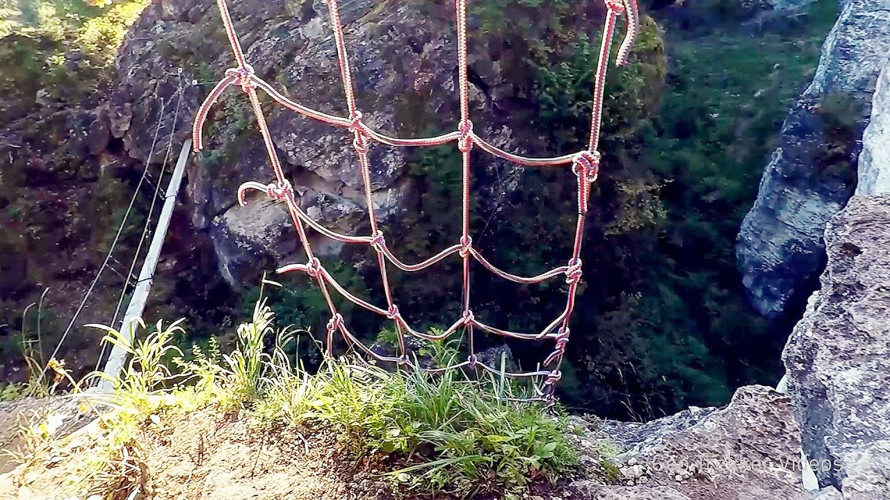
Via ferrata Bear Cave adventure and climbing zone - Borsec 15.4 km away
The Bear Cave in Borsec is a vast natural formation, scattered with rocks and deep crevices. Access to the cave's cavities is through a series of narrow formations resembling canyons, surrounded by giant fir trees and rocks with interesting shapes.
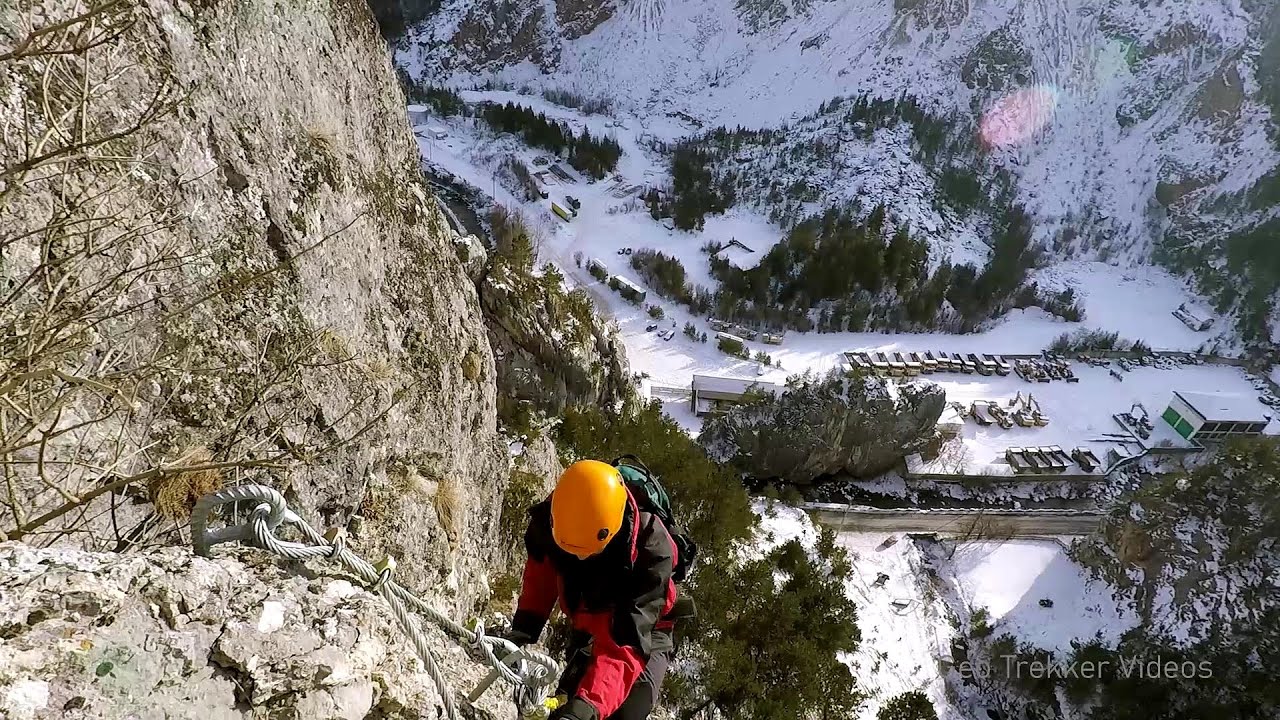
Astragalus iron path in winter - Glod Stone, Munticelu 18.76 km away
The official website of the Sugau Gorges published information about a new via ferrata climbing route named Astragalus. Sugau Gorges - Munticelu is a nature conservation area part of Natura 2000 located in Neamt County, which borders Harghita County.
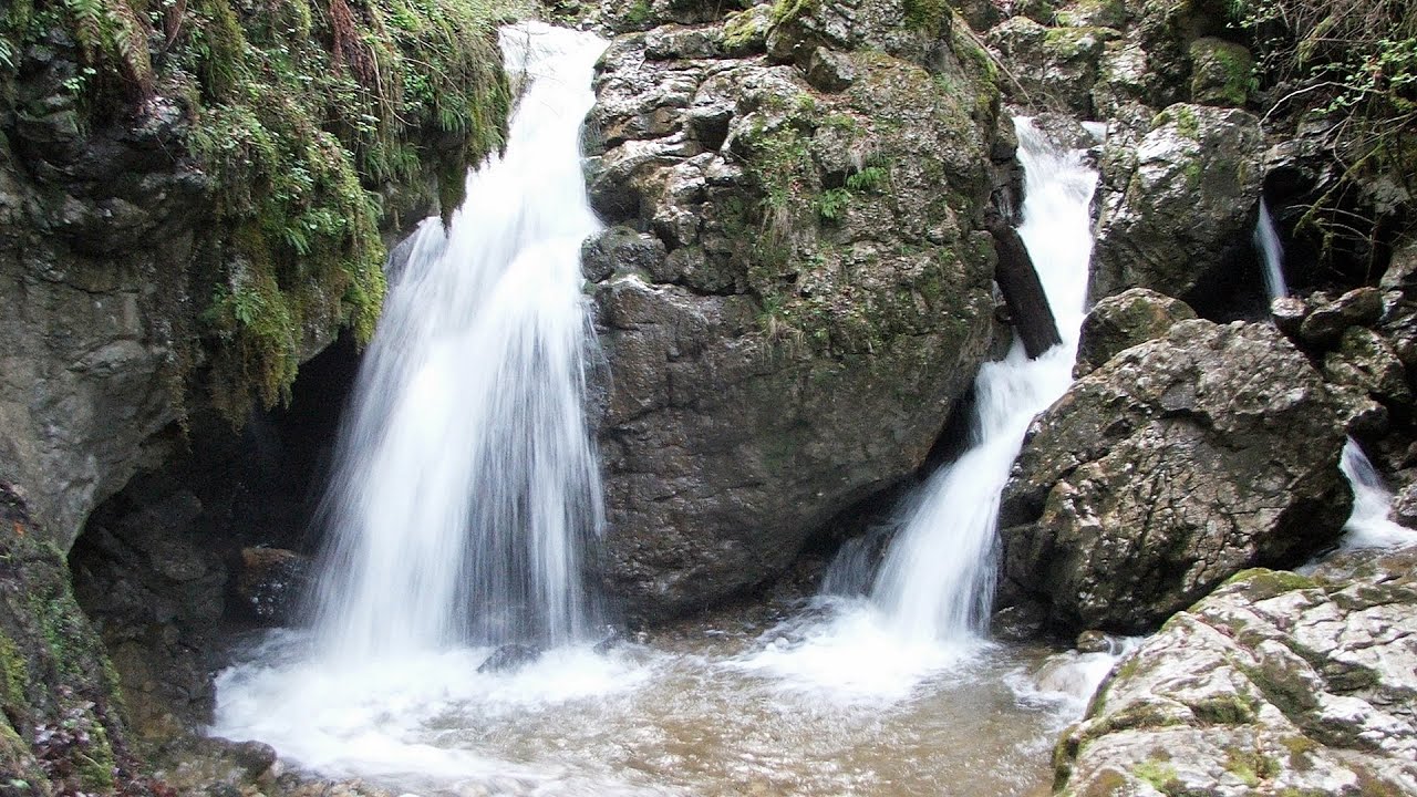
Waterfalls of Lapos creek - Bicaz Gorges 19.6 km away
One of the lesser-known attractions of the Bicaz Gorges is the series of waterfalls along Lapos Creek. This creek flows between Cupas Stone and Bardos Stone before eventually merging with Bicaz Creek, forming spectacular waterfalls beneath the Altar Stone.
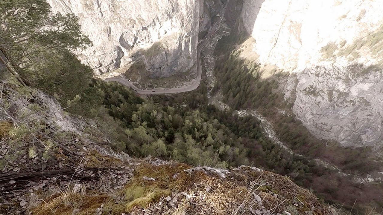
Poienii Rock, north-eastern lookout point - Bicaz Gorges 20.06 km away
From the viewpoint at the top of the northeastern wall of Poienii Rock in the Bicaz Gorges, we can look down 300 meters to the mouth of the Bicajel stream. The Bridge of the Hungarians is hidden among pine trees.
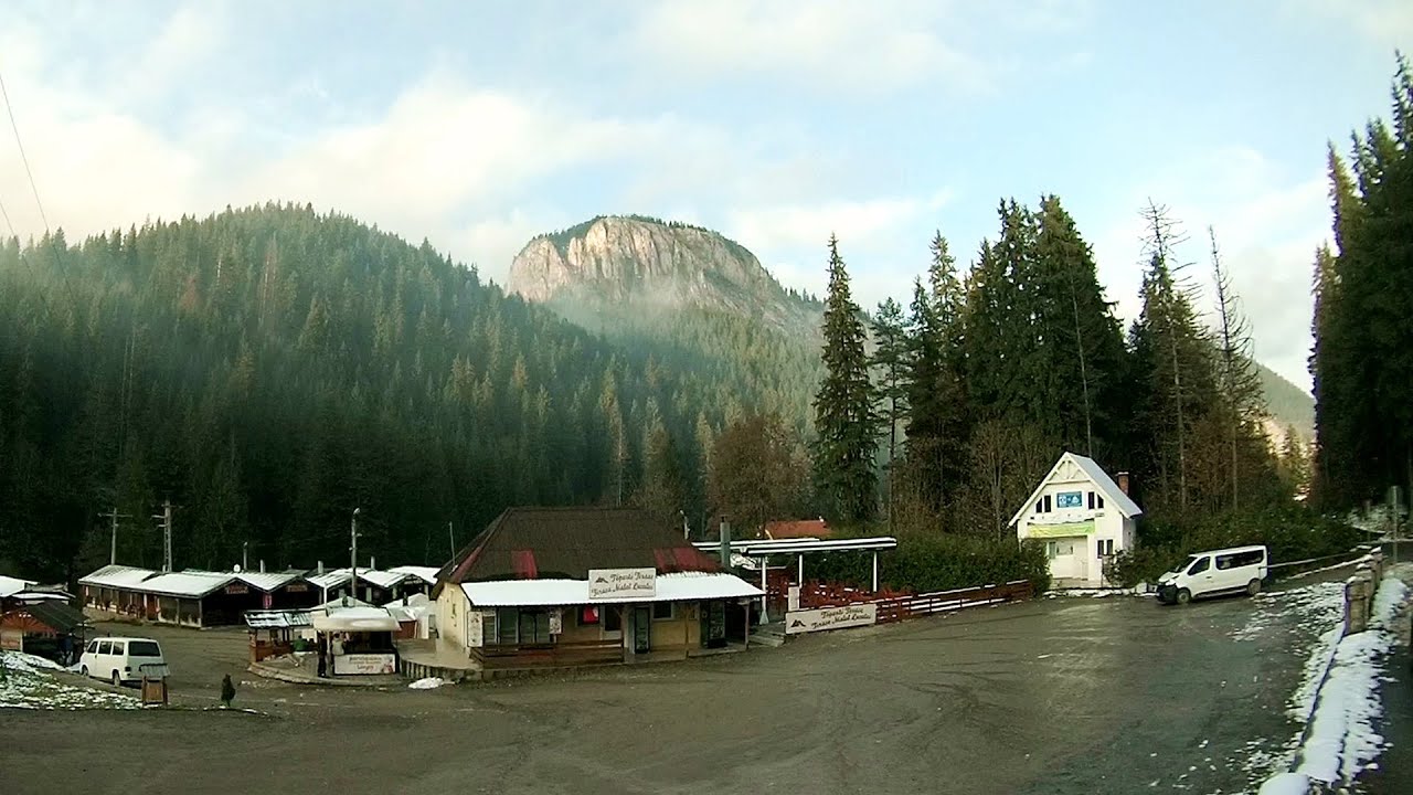
Wild Ferenc memorial path - Suhardul Mic 20.85 km away
In recent days, this news has been everywhere: the via ferrata route built on the southwest wall of Suhardul Mic (Little Suhard) has finally been completed and inaugurated. The new route has been named after Ferenc Wild, in memory of the former mountain rescuer, sports writer, and one of the founders of the mountain rescue association in Gheorgheni.
Other places
Saint Anne lake Ciomat-Puturosu 95.98 km away
Lake Saint Anna is the only well-preserved volcanic crater lake in Eastern Europe. Here are some images from an afternoon outing.
Lake Saint Anna is the only well-preserved volcanic crater lake in Eastern Europe. Here are some images from an afternoon outing.
Big Via ferrata Rasnoavei Gorges 161.25 km away
The most dangerous Eastern European iron path, and also one of the most beautiful via ferrata routes in Romania, is in the Rasnoavei Gorges, Postavaru Mountains.The route is 450 m long, with a level difference of 220 m.
The most dangerous Eastern European iron path, and also one of the most beautiful via ferrata routes in Romania, is in the Rasnoavei Gorges, Postavaru Mountains.The route is 450 m long, with a level difference of 220 m.
Wild Ferenc iron path Suhardul Mic 20.87 km away
While I climbed the new iron path mostly in the dark for the first time, this time I managed to explore it during the day. But I still missed the sunset by a few minutes.
While I climbed the new iron path mostly in the dark for the first time, this time I managed to explore it during the day. But I still missed the sunset by a few minutes.
Iron path Harghita-Madaras 60.83 km away
Amateur filming in Harghita-Madaras, holding the camera by hand in the car, and helmet-mounted on the via ferrata. I climbed an iron path for the first time in my life on the Nyerges cliffs (Stancile Seii), I didn't have the right equipment yet.
Amateur filming in Harghita-Madaras, holding the camera by hand in the car, and helmet-mounted on the via ferrata. I climbed an iron path for the first time in my life on the Nyerges cliffs (Stancile Seii), I didn't have the right equipment yet.
The Wooden Ladders The villages of Scarisoara and Inelet, Cerna valley 331.34 km away
Scarisoara and Inelet are small, isolated villages located in the mountainous region of Banat. They are situated on the right bank of the Cerna River, approximately 19 km away from the Baile Herculane resort.
Scarisoara and Inelet are small, isolated villages located in the mountainous region of Banat. They are situated on the right bank of the Cerna River, approximately 19 km away from the Baile Herculane resort.
[ Top ↑ ]
[ Top ↑ ]
Copyright © 2003-2025 Trekkingklub and friends. Reproduction of any text, picture or video from this website, either in printed or electronic form, is prohibited without prior written permission. Nearby settlements: Tulghes 2.27 km away, Tourist attractions near Tulghes 2.27 km away. The given distances are to be understood as straight line distances, and are approximate. Website made in Miercurea Ciuc  .
.
 .
.


