Black Valley - Eagles Lake | Photos


Page no. 1, photos: 1-10, 36 photos in total. >>>

Copyright © 2010 - 2025 Trekkingklub.com.
Already published 8983 photos and 180 videos. Please register for full and ad-free access.
Photos of nearby places


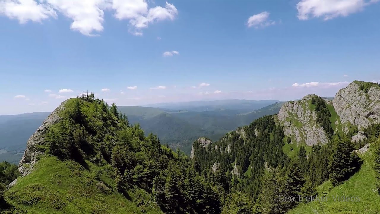
Devil's Hand Rock - Ciucas Mountains (30 photos) 12.71 km away
Dalghiu - Devil's Hand Rock - Ciucas peak - Vama Buzaului


Chiojdu (18 photos) 14.52 km away
Basca cu Cale - La Sipot waterfall - Basca fara Cale - Tata Lice boarding-house - Chiojdu village.
[ Top ↑ ]
Videos of nearby places
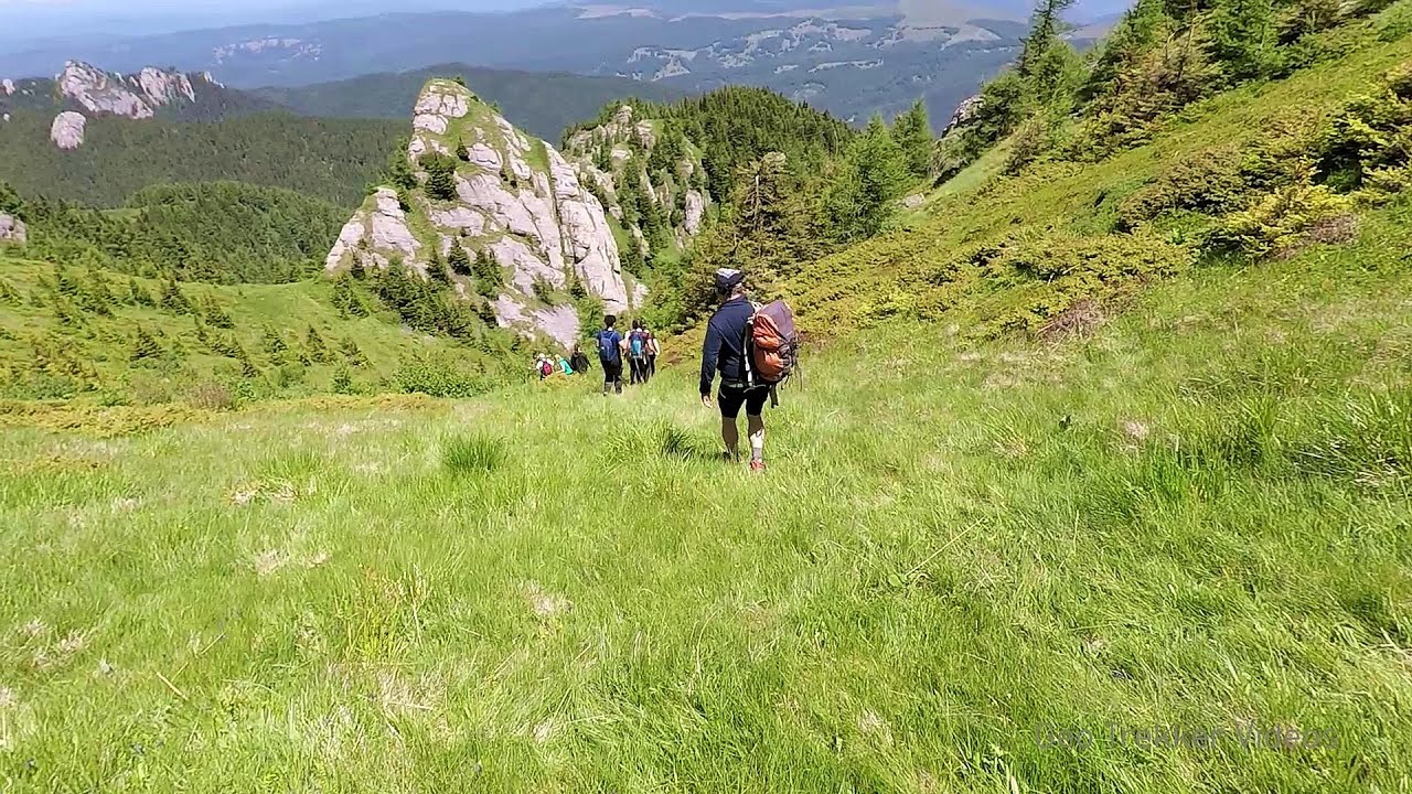
Searching for rhododendrons - Ciucas Boulevard 12.68 km away
Red Mountain (Muntele Rosu), Gropsoarele-Zaganu ridge - Ciucas Mountains
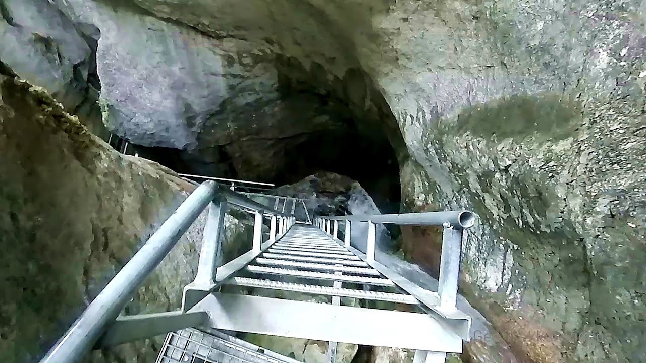
Seven Ladder Canyon and Waterfall - Piatra Mare Mountain 38.39 km away
The Seven Ladder Gorge is the largest and most spectacular gorge in the Piatra Mare massif. The narrow canyon has a length of 160 meters, and over a drop of 58 meters includes 7 bigger and several smaller waterfalls.
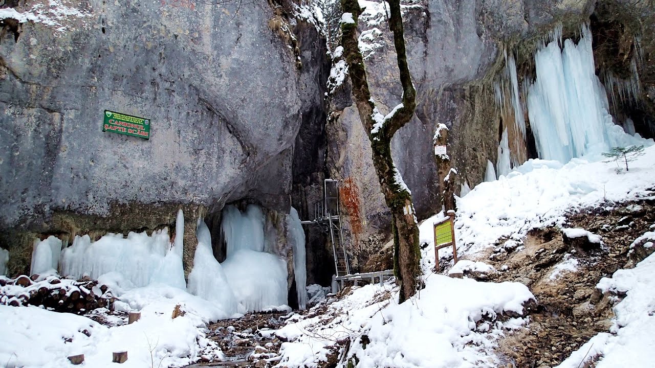
Seven Ladder Canyon in Winter - Piatra Mare Mountain 38.48 km away
Seven Ladder Canyon and Waterfall in Winter - Piatra Mare Mountain
Other places
Waterfalls of Lapos creek Bicaz Gorge 145.89 km away
One of the lesser-known attractions of the Bicaz Gorges is the series of waterfalls along Lapos Creek. This creek flows between Cupas Stone and Bardos Stone before eventually merging with Bicaz Creek, forming spectacular waterfalls beneath the Altar Stone.
One of the lesser-known attractions of the Bicaz Gorges is the series of waterfalls along Lapos Creek. This creek flows between Cupas Stone and Bardos Stone before eventually merging with Bicaz Creek, forming spectacular waterfalls beneath the Altar Stone.
Roman Baths Geoagiu-Bai, Metaliferi Mountains 235.17 km away
Bolii Cave Banita 219.45 km away
The Bolii Cave is located 6 km north of Petrosani, on the road that connects Hateg with the Jiu Valley. Here, the railway line that connects the two parts of Hunedoara County passes through, featuring a total of 66 curves and 8 tunnels.
The Bolii Cave is located 6 km north of Petrosani, on the road that connects Hateg with the Jiu Valley. Here, the railway line that connects the two parts of Hunedoara County passes through, featuring a total of 66 curves and 8 tunnels.
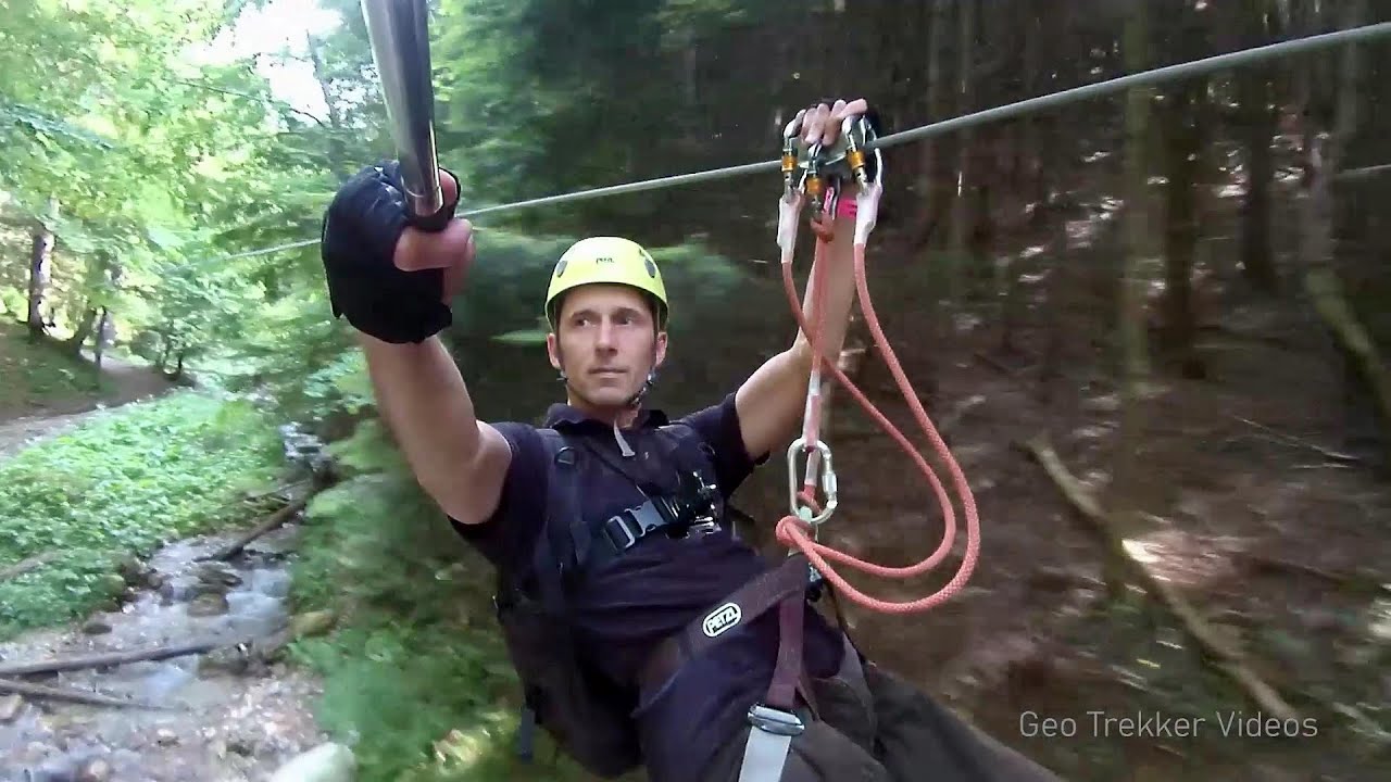
Iron path Harghita-Madaras 113.15 km away
Amateur filming in Harghita-Madaras, holding the camera by hand in the car, and helmet-mounted on the via ferrata. I climbed an iron path for the first time in my life on the Nyerges cliffs (Stancile Seii), I didn't have the right equipment yet.
Amateur filming in Harghita-Madaras, holding the camera by hand in the car, and helmet-mounted on the via ferrata. I climbed an iron path for the first time in my life on the Nyerges cliffs (Stancile Seii), I didn't have the right equipment yet.
Bicajel Gorge (Cheile Bicajelului) Hasmas Mountains 145.35 km away
[ Top ↑ ]
[ Top ↑ ]
Select language: - Magyar - Romana - Copyright © 2003-2025 Trekkingklub and friends. Reproduction of any text, picture or video from this website, either in printed or electronic form, is prohibited without prior written permission. The given distances are to be understood as straight line distances, and are approximate. Website made in Miercurea Ciuc