Cuiejdel lake - Stanisoarei Mountains | Photos


Page no. 1, photos: 1-10, 16 photos in total. >>>

Copyright © 2012 - 2025 Trekkingklub.com.
Already published 8983 photos and 180 videos. Please register for full and ad-free access.
Photos of nearby places


[ Top ↑ ]
Videos of nearby places

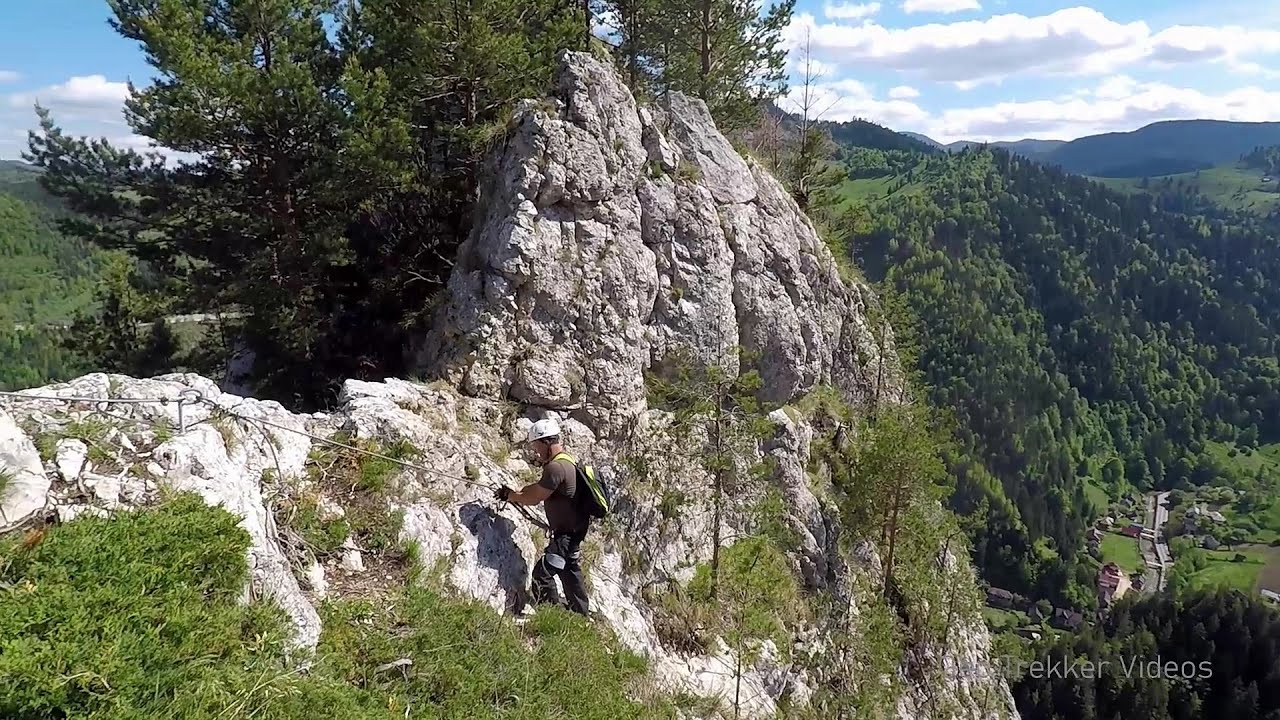
Astragalus iron path in winter - Glod Stone, Munticelu 36.22 km away
The official website of the Sugau Gorge published information about a new via ferrata climbing route named Astragalus. Sugau Gorges - Munticelu is a nature conservation area part of Natura 2000 located in Neamt County, which borders Harghita County.
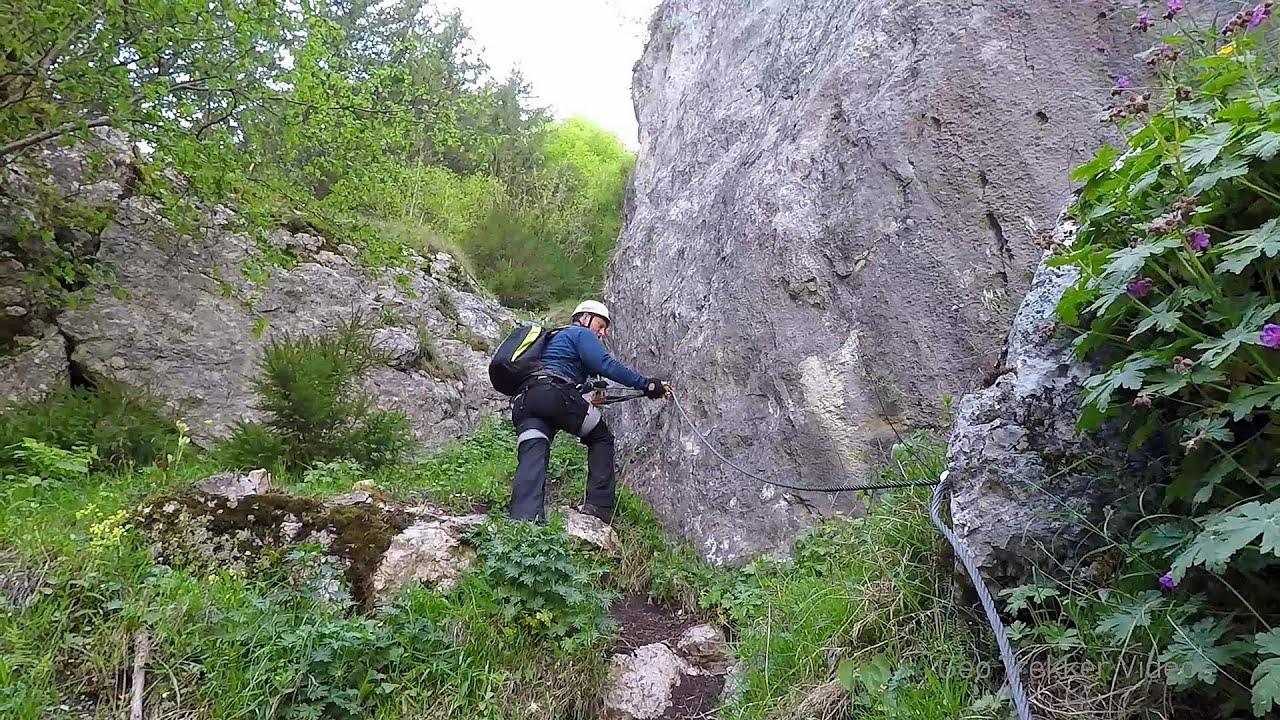
Sugau Rock lookout point and iron path (B/C) 36.38 km away
Sugau Rock lookout point and iron path (B/C). Sugau Gorges - Munticelu Nature Reserve, Hasmas Mountains.
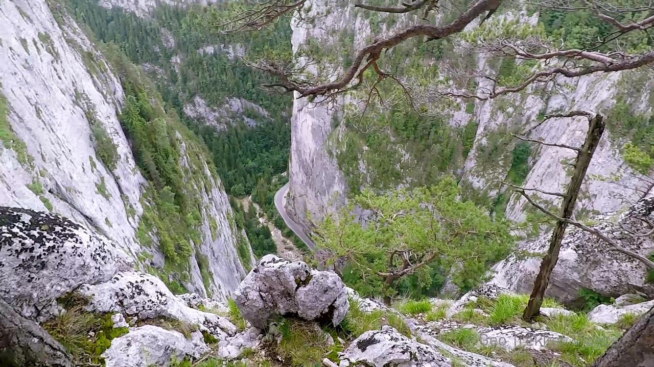
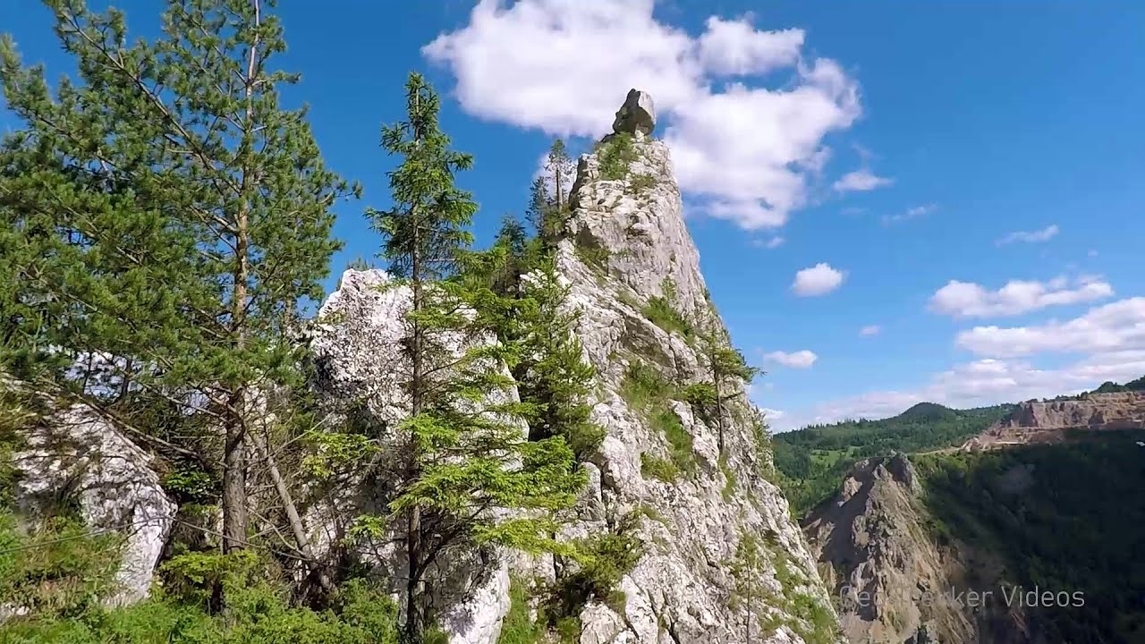
Bicajel Gorge, Bicajel Waterfall, Stone of the Gorge 38.43 km away
Bicajel Gorge (Cheile Bicajelului), Bicajel Waterfall (Cascada Bicajel), Stone of the Gorge (Surduc Stone, Piatra Surducului) - Hasmas Mountains.
Other places
Crivadia Gorge 290.02 km away
The Crivadia Gorge is located next to the village of Crivadia, which belongs to Banita. Access is difficult, and the hike is made through the streambed, with water up to the waist at its narrowest point.
The Crivadia Gorge is located next to the village of Crivadia, which belongs to Banita. Access is difficult, and the hike is made through the streambed, with water up to the waist at its narrowest point.
Seven Ladder Canyon in Winter Piatra Mare Mountain 169.12 km away
Seven Ladder Canyon and Waterfall in Winter - Piatra Mare Mountain
Seven Ladder Canyon and Waterfall in Winter - Piatra Mare Mountain
Seven Ladder Canyon and Waterfall Piatra Mare Mountain 169.22 km away
The Seven Ladder Gorge is the largest and most spectacular gorge in the Piatra Mare massif. The narrow canyon has a length of 160 meters, and over a drop of 58 meters includes 7 bigger and several smaller waterfalls.
The Seven Ladder Gorge is the largest and most spectacular gorge in the Piatra Mare massif. The narrow canyon has a length of 160 meters, and over a drop of 58 meters includes 7 bigger and several smaller waterfalls.
TV-radio amplifying station Harghita Ciceu 84.37 km away
The hiking trail marked with a blue stripe starts at the Uz Bence shelter and runs from Harghita-Bai to Harghita Madaras. Our destination today is the Harghita Ciceu plateau.
The hiking trail marked with a blue stripe starts at the Uz Bence shelter and runs from Harghita-Bai to Harghita Madaras. Our destination today is the Harghita Ciceu plateau.
[ Top ↑ ]
[ Top ↑ ]
Select language: - Magyar - Romana - Copyright © 2003-2025 Trekkingklub and friends. Reproduction of any text, picture or video from this website, either in printed or electronic form, is prohibited without prior written permission. The given distances are to be understood as straight line distances, and are approximate. Website made in Miercurea Ciuc