Ruines of Vityal fortress - Gurghiu Mountains | Photos


Page no. 1, photos: 1-6, 15 photos in total. >>>

Copyright © 2010 - 2026 Trekkingklub.com. Please register for full and ad-free access.
Airport nearby: Transilvania International Airport (TGM - Recea, Ro), 48 km away.
Photos of nearby places

Hollow Stone - Gurghiu Mountains (5 photos) 2.9 km away. Hollow Stone (Likas Stone) - Gurghiu Mountains.


Isuica Valley - Becheci Peak (12 photos) 8.3 km away. Isuica (Iszulyka) Valley - Becheci (Bekecs) Peak.


Table Rock - Gurghiu Mountains (10 photos) 19.9 km away. Table Rock (Asztal-kő, Stanca Mesei) - Gurghiu Mountains.


Shepherd Stone - Gurghiu Mountains (8 photos) 21.3 km away. Shepherd Stone (Pakulárkő, Piatra Pacurarului) - Gurghiu Mountains.

Small Pine Stone - Gurghiu Mountains (8 photos) 22.2 km away. Small Pine Stone (Kisfenyős Stone) - Gurghiu Mountains.


[ Top ↑ ]
Videos of nearby places
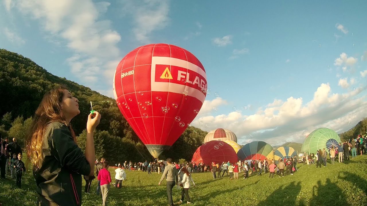
Hot air balloon parade 2015 - Campu Cetatii 4.4 km away. This year, the Hot Air Balloon Parade was organized in Campu Cetatii for the tenth time. Unfortunately, the weather only allowed for flying on Saturday morning and evening.
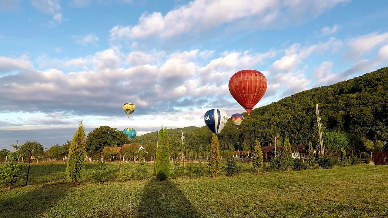
Hot Air Balloon Parade 2018 - Campu Cetatii 4.4 km away. This year, the hot air balloons flew low over Campu Cetatii. The weather did not really favor the parade.

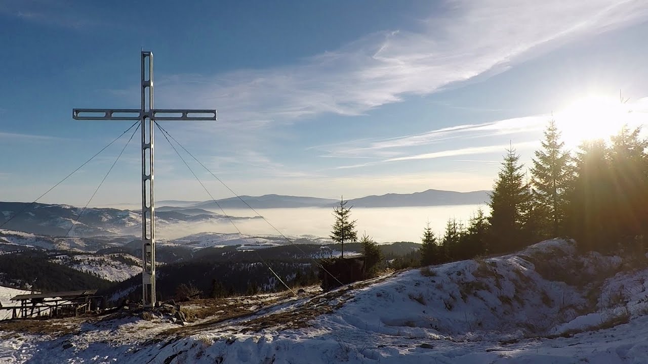
The Heart of Jesus look-out - Lupeni 40.1 km away. Through the mud on Gordon Mountain, above Farkaslaka (Lupeni commune, Harghita county, Transilvania), on a cloudy afternoon, at the end of February. The destination is the Heart of Jesus lookout, nicknamed as Pléhkrisztus (The Tin Christ).
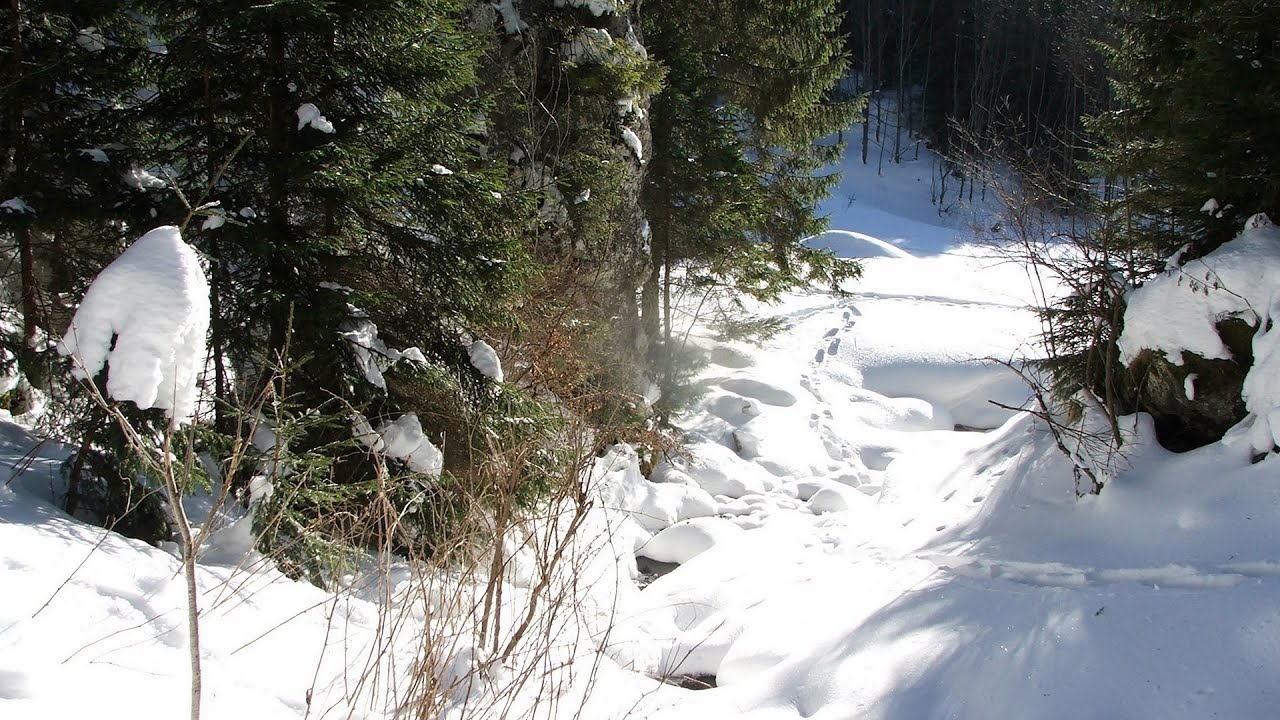
With snowshoes in the Tihu creek valley - Rastolita 46.8 km away. We met geotrekking treasure hunters from Gheorgheni, Miercurea Ciuc and Targu Mures in Rastolita. We entered the Calimani Mountains with an off-road vehicle, along the Rastolita and Tihu streams.
Pricske peak - Giurgeu Mountains 51.6 km away. If we want to reach Pricske (Prisca) peak, which rises above Gheorgheni and Lazarea, we start from the valley of the Güdüc (Ghidut) stream. Our path leads us past the ruins of a building known as the White House.
Other places
Ski resort Poiana Brasov Postavarul Mountains 132.5 km away. Shining sun and an Austria-feeling on the impeccable slopes of the ski paradise Poiana Brasov above Brasov. Sunbathing, coffee and refreshing drinks on the terrace of Julius Römer chalet.
Devetashka cave Devetaki 384.2 km away. The Devetashka Cave is located in Bulgaria, near the village of Devetaki. After the entrance portal, which measures 30 m by 35 m, there is a vast open chamber that is 110 meters wide and 359 meters long.
Via Ferrata Pink Panther Baia de Fier 190.2 km away. In the area of Baia de Fier in Gorj County, several via ferrata routes have been set up on the rock above the Women's Cave (Muierii Cave) and on the other side of the road. At that time (2018), there were a total of seven.
Abandoned copper mine Tsar Asen, Pazardzhik 484 km away. The turquoise waters of this mine lake are extremely beautiful but dangerously poisonous. Do not descend to the shore or touch the water!
Pietraru pottery Horezu 186.7 km away.
Kaya Bunar Hotnitsa 396.4 km away. The Kaya Bunar Waterfall (Hotnishki Vodopadi, Hotnitsa Waterfall) is located 20 km from the city of Veliko Tarnovo in Bulgaria. The waterfall is 30 meters high, and there are several smaller cascades above it.
Crystal Cave at Farcu Mine 193.3 km away. In the Padurea Craiului Mountains, near Rosia, in the Farcu bauxite mine, in 1987, the miners accidentally discovered a cave. It was filled with crystal-shaped limestone formations.
Fairy Cliff via ferrata route Vadu Crisului 188.2 km away. Fairy Cliff (Peretele Zanelor) via ferrata route - Vadu Crisului. In Vadu Crisului, in the Padurea Craiului Mountains, on the right bank of the Crisul Repede, you can find the newest, in chronological order (2015) the fifth Transylvanian, new type of via ferrata route.
Buzludzha monument Kazanluk 440.8 km away. Buzludzha is a historically significant mountain located in the Central Balkan Mountains of Bulgaria. At its summit, at an altitude of 1432 meters above sea level, there is an abandoned monument.
The Amphitheater of the Dragons Baia de Fier 190.7 km away. The Amphitheater of the Dragons (Amfiteatrul Zmeilor) is the seventh (2017) via ferrata route in Baia de Fier. It was inaugurated last year, on December 26, 2017, after Christmas.
Turcinovac via ferrata and cave Ovcar Banja 483.6 km away. Difficulty level B, total length: 60 m, height difference: 45 m, year of construction: 2010. Climbing the via ferrata is only permitted with the approval of the Extreme Sports Club Armadillo from Cacak, and there is a fee for it.
Mine lake Megyer mountain, Sárospatak 314.4 km away. The via ferrata routes of the Megyer mountain mine lake. The geologists' path E 25 m, Szabó József-memorial path C 200 m, Amphitheater D 40 m, Devil's Cauldron E 70 m, Sweet aquatic life D 150 m, Velociraptor C 35 m.
Roman Baths Cetea, Trascau Mountains 117.8 km away. Roman Baths (Baile Romane) - Cetea, Trascau Mountains. Among the valleys of the Trascau Mountains, the Cetea Gorge best deserves the name of a crevice valley.
Saeva Dupka cave Brestnitsa 409.4 km away. The Saeva Dupka Cave is located 2 km south of the village of Brestnitsa. In its five chambers and 400 meters of passageways, you can see the most beautiful cave formations in Bulgaria.
Loreley and Pink Panther iron path Baia de Fier 190.3 km away. The Loreley via ferrata (graded B/C, with an elevation difference of approximately 100 m and a length of about 100 m) is located on the rock wall on the opposite side of the road. A branch from its upper section leads to the Pink Panther (Pantera Roz, graded A/B/C, approximately 200 meters long, with an elevation difference of about 50 meters).
[ Top ↑ ]
Copyright © 2003-2026 Trekkingklub and friends. Reproduction of any text, picture or video from this website, either in printed or electronic form, is prohibited without prior written permission.
The given distances are to be understood as straight line distances, and are approximate. Website made in Miercurea Ciuc  .
.