Lonely Stone - Hasmas Mountains | Photos


Page no. 1, photos: 1-6, 9 photos in total. >>>

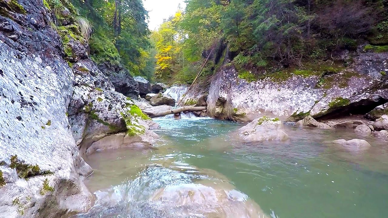
Lonely Stone (Piatra Singuratica) - Hasmas Mountains.
Copyright © 2003 - 2026 Trekkingklub.com. Please register for full and ad-free access.
Airport nearby: Bacău George Enescu International Airport (BCM - Bacău, Ro), 85 km away.
Photos of nearby places

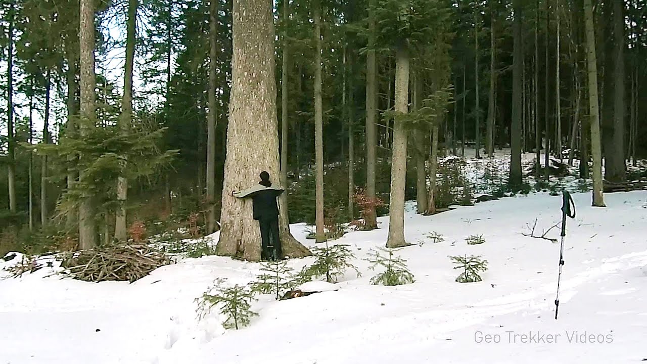
Watchstone and the Lonely Stone in March (18 photos) 0 km away. Watchstone (Stanca La Panda) and the Lonely Stone (Piatra Singuratica) in March.


Brother Mountain - Hasmas Mountains (11 photos) 0.8 km away. Brother Mountain (Ecsém-tető, Muntele Fratele, Muntele Ecem) - Hasmas Mountains.


Brother Mountain - Hasmas Mountains (15 photos) 1.6 km away. Brother Mountain (Fratele, Ecem, Ecsém) - Hasmas Mountains.


Valley of the Lazarus-creek - Hasmas Mountains (15 photos) 2.8 km away. Valley of the Lazarus-creek (Valea paraului Lazar), Log Slide - Hasmas Mountains.
[ Top ↑ ]
Videos of nearby places
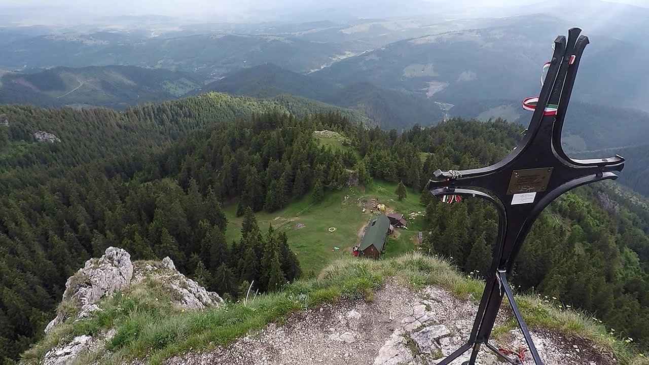
Lonely Stone - Hasmas Mountains 0 km away. On June 1, 2003, with a small group of friends, I left Balan, walking along the valley of the Sep (Beautiful) stream towards the Lonely Stone (Piatra Singuratica). Those who were with me at the time fell behind, and then other people joined for the hike.
Giant fir trees - Ghimes 7.8 km away. One of the lesser-known attractions of Ghimes is the two giant-sized common fir trees. They are 42 meters tall, and have diameters of 110 cm and 130 cm at chest height.
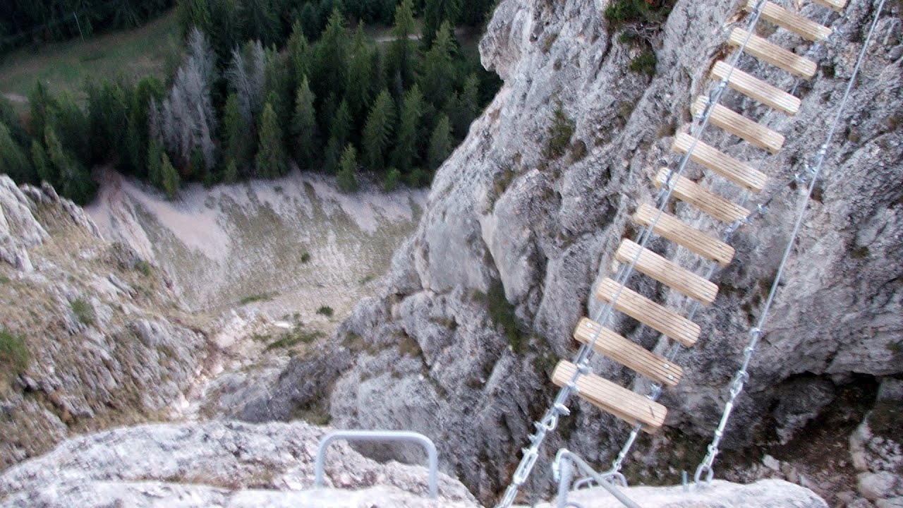
Wild Ferenc iron path - Suhardul Mic 12.9 km away. While I climbed the new iron path mostly in the dark for the first time, this time I managed to explore it during the day. But I still missed the sunset by a few minutes.
Wild Ferenc memorial path - Suhardul Mic 13 km away. In recent days, this news has been everywhere: the via ferrata route built on the southwest wall of Suhardul Mic (Little Suhard) has finally been completed and inaugurated. The new route has been named after Ferenc Wild, in memory of the former mountain rescuer, sports writer, and one of the founders of the mountain rescue association in Gheorgheni.
Bicajel Gorge - Hasmas Mountains 13.8 km away. Bicajel Gorge (Cheile Bicajelului) - Hasmas Mountains.
Other places
Fairy Cliff via ferrata route Vadu Crisului 253.9 km away. Fairy Cliff (Peretele Zanelor) via ferrata route - Vadu Crisului. In Vadu Crisului, in the Padurea Craiului Mountains, on the right bank of the Crisul Repede, you can find the newest, in chronological order (2015) the fifth Transylvanian, new type of via ferrata route.
Piticot iron path for children Suncuius 251.1 km away.
Virus and Antivirus iron paths Baia de Fier 230.7 km away. With Virus (B/C) and Antivirus (C), the number of via ferrata routes at Baia de Fier has increased to thirteen. In fact, it is a Y-shaped route that starts near the entrance of the Laura via ferrata, and the exits are located just a few meters from the Laura exit.
Big Via ferrata Rasnoavei Gorge 128.8 km away. The most dangerous Eastern European iron path, and also one of the most beautiful via ferrata routes in Romania, is in the Rasnoavei Gorges, Postavaru Mountains.The route is 450 m long, with a level difference of 220 m.
Prohodna cave Karlukovo 413.8 km away. The Prohodna cave nicknamed The Eyes of God is located in Bulgaria, in the Iskar Gorge, on one of the largest karst areas in Bulgaria, 2 km from the town of Karlukovo. It is essentially a 262-meter-long natural stone bridge, with a large (45 m high) and a small (35 m high) entrance.
Dalbina waterfall, Dark Blue Bruises of the Ponor 184.3 km away. Dalbina waterfall, Dark Blue Bruises of the Ponor (Vanatarile Ponorului).
Oltet Gorge Capatana Mountains 228.2 km away. Oltet Gorge (Cheile Oltetului) - Capatana Mountains. That day, we had planned to ski at the Ranca resort, situated alongside the Transalpina high altitude mountain road in the Parang Mountains.
Balea waterfall and the Transfagarasan mountain_road 149.8 km away. Balea waterfall and the Transfagarasan mountain road - blue triangle marked trail, Balea valley, Fagaras Mountains, Southern Carpathians.
Babsko Praskalo waterfall Tazha 446.8 km away. In the Central Balkans National Park, there are many rivers that cascade down spectacular waterfalls, which the locals call praskalo. One of the smallest waterfalls in the area is Babsko Praskalo, which stands at only 54 meters high.
Ticuiata Rock Trascau Mountains 180.5 km away. Ticuiata Rock (Stanca Picuiata) - Trascau Mountains.
Womens Spiral via ferrata, climbing fun Baia de Fier 230.6 km away. The Women's Spiral (Spirala Muierilor) via ferrata is set up on the rock that conceals the Women's Cave (Pestera Muierii). It is one of the seven routes near Baia de Fier as of now (2018).
Clocota waterfall Geoagiu-Bai, Metaliferi Mountains 220.4 km away.
Searching for rhododendrons Ciucas Boulevard 132.2 km away. Red Mountain (Muntele Rosu), Gropsoarele-Zaganu ridge - Ciucas Mountains
Kaya Bunar Hotnitsa 394.2 km away. The Kaya Bunar Waterfall (Hotnishki Vodopadi, Hotnitsa Waterfall) is located 20 km from the city of Veliko Tarnovo in Bulgaria. The waterfall is 30 meters high, and there are several smaller cascades above it.
Transalpina Ski Resort Vidra lake 215.9 km away.
[ Top ↑ ]
Copyright © 2003-2026 Trekkingklub and friends. Reproduction of any text, picture or video from this website, either in printed or electronic form, is prohibited without prior written permission.
The given distances are to be understood as straight line distances, and are approximate. Website made in Miercurea Ciuc  .
.