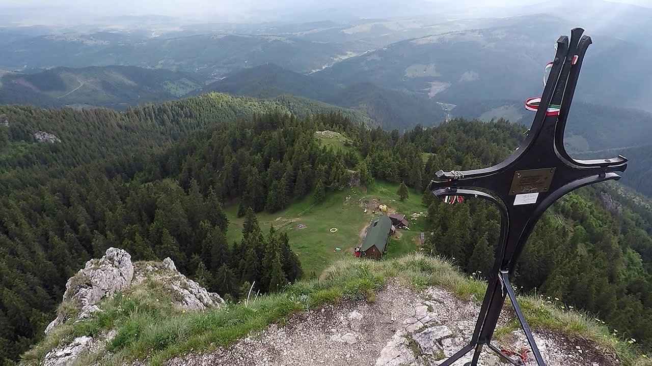
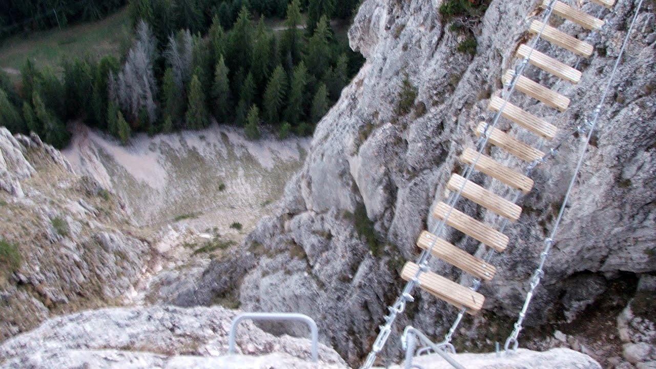
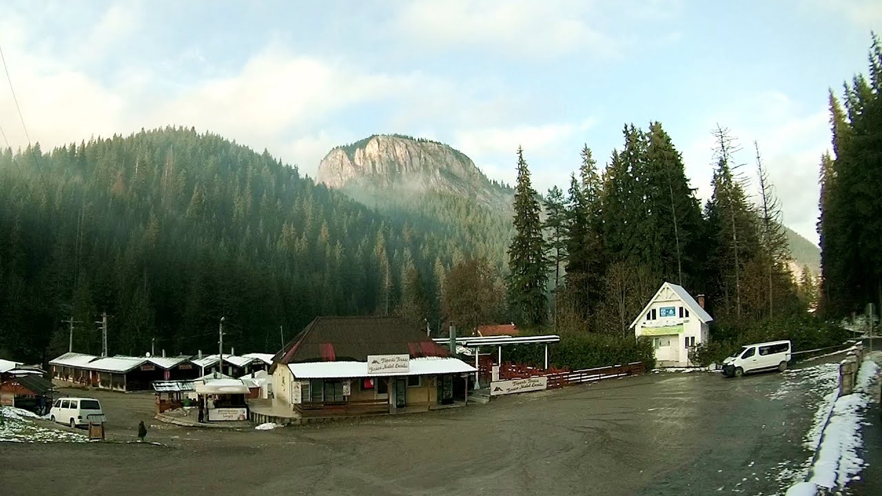
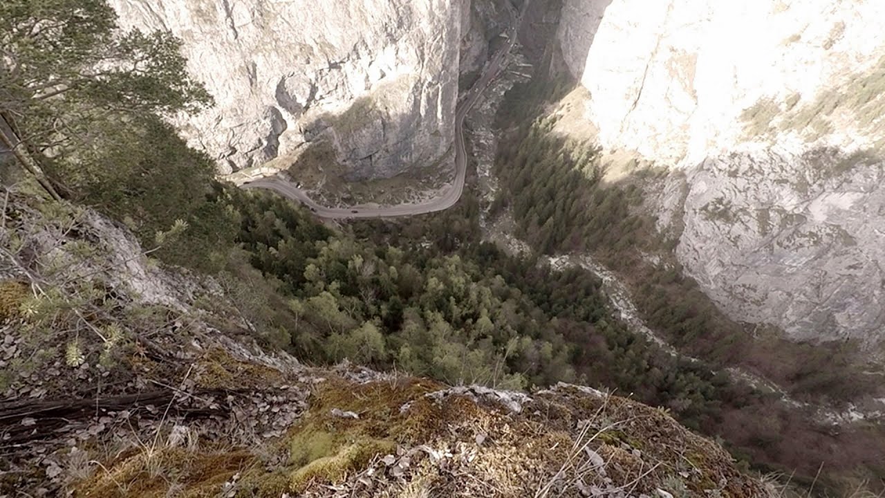
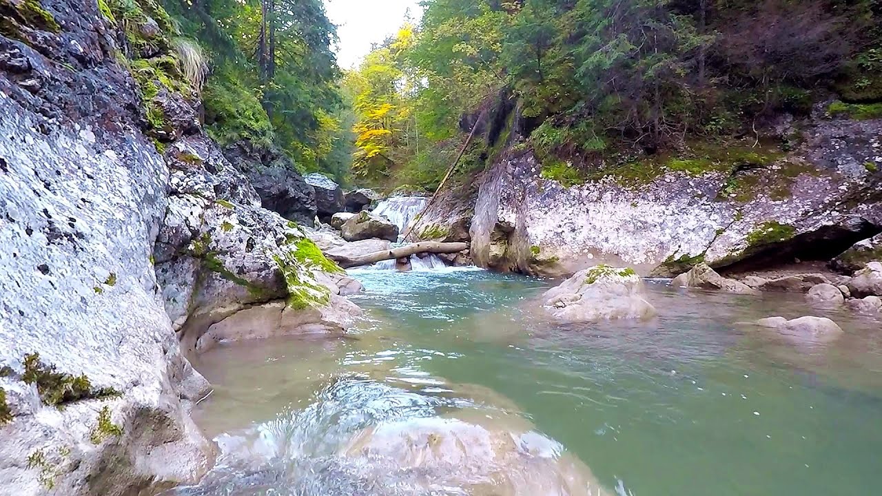
Batca Mica - Hasmas Mountains | Photos


Page no. 1, photos: 1-6, 15 photos in total. >>>

Copyright © 2005 - 2026 Trekkingklub.com. Please register for full and ad-free access.
Airport nearby: Bacău George Enescu International Airport (BCM - Bacău, Ro), 88 km away.
Photos of nearby places


White Glade - Hasmas Mountains (6 photos) 1.3 km away. White Glade (Poiana Alba) - Hasmas Mountains.


White Glade, Horseshoe Rock (17 photos) 1.9 km away. White Glade (Poiana Alba), Horseshoe Rock (Piatra Potcoavei) - Hasmas Mountains.

Horseshoe Rock - Hasmas Mountains (9 photos) 1.9 km away. Horseshoe Rock (Piatra Potcoavei) - Hasmas Mountains.

Lazar peak - Hasmas Mountains (18 photos) 2.3 km away. The pit under the Lazar peak 2004-09-02, 2014-11-27.

Dry Valley canyon - Hasmas Mountains (9 photos) 2.6 km away. Dry Valley (Paraului Sec) canyon - Hasmas Mountains.

Black Hasmas - Hasmas Mountains (27 photos) 3.3 km away. Hasmasul Negru (Black Hasmas) - Hasmas Mountains.

[ Top ↑ ]
Videos of nearby places
Lonely Stone - Hasmas Mountains 4.3 km away. On June 1, 2003, with a small group of friends, I left Balan, walking along the valley of the Sep (Beautiful) stream towards the Lonely Stone (Piatra Singuratica). Those who were with me at the time fell behind, and then other people joined for the hike.
Wild Ferenc iron path - Suhardul Mic 9.2 km away. While I climbed the new iron path mostly in the dark for the first time, this time I managed to explore it during the day. But I still missed the sunset by a few minutes.
Wild Ferenc memorial path - Suhardul Mic 9.2 km away. In recent days, this news has been everywhere: the via ferrata route built on the southwest wall of Suhardul Mic (Little Suhard) has finally been completed and inaugurated. The new route has been named after Ferenc Wild, in memory of the former mountain rescuer, sports writer, and one of the founders of the mountain rescue association in Gheorgheni.
Poienii Rock, north-eastern lookout point - Bicaz Gorge 10.7 km away. From the viewpoint at the top of the northeastern wall of Poienii Rock in the Bicaz Gorges, we can look down 300 meters to the mouth of the Bicajel stream. The Bridge of the Hungarians is hidden among pine trees.
Bicajel Gorge - Hasmas Mountains 10.7 km away. Bicajel Gorge (Cheile Bicajelului) - Hasmas Mountains.
Other places
Pietraru pottery Horezu 222.9 km away.
Poenari citadel Arges valley 175.9 km away. The Poenari citadel is located on the southern slope of the Fagaras Mountains, on the western side of the Transfagaras road, in the Arges Valley, about 4 km from the Vidraru Lake dam. Along a steep incline, a concrete staircase leads up to the castle, which is built atop a mountain.
Little Spiral via ferrata Baia de Fier 231.4 km away.
Boli Cave Banita 236.9 km away. The Boli Cave is located 6 km north of Petrosani, on the road that connects Hateg with the Jiu Valley. Here, the railway line that connects the two parts of Hunedoara County passes through, featuring a total of 66 curves and 8 tunnels.
Fairy Cliff via ferrata route Vadu Crisului 250.9 km away. Fairy Cliff (Peretele Zanelor) via ferrata route - Vadu Crisului. In Vadu Crisului, in the Padurea Craiului Mountains, on the right bank of the Crisul Repede, you can find the newest, in chronological order (2015) the fifth Transylvanian, new type of via ferrata route.
Snow-covered valley of Balea and the Transfagarasan in winter The ascent 150.8 km away. The Fagarasi Mountains can be easily approached from the north, mainly by using the Transfagarasan Road. This high altitude mountain road is only accessible during the summer months (throughout its entire length).
Rudariei watermills Eftimie Murgu 352.3 km away. I have visited the twenty-two wooden water mills with horizontal wheels, located in the valley of the Rudaria stream, mostly in the rain and under an umbrella. Some of them are still in use today.
Goats Ledge iron path Ramet Gorge 184.5 km away. Via ferrata Goats Ledge (Brana Caprei) iron path - Ramet Gorge, Trascau Mountains.
Bovska Skaklya waterfall Iskar gorge 452.8 km away. The Bovska Skaklya waterfall is located near the town of Svoge in Bulgaria. The waterfall formed on the Zaselska River has several reported heights online (120 m, 85 m).
Huda lui Papara cave Salciua de Jos 182.1 km away. Huda lui Papara cave (Paparas Hole) - Salciua de Jos, Trascau Mountains.
Iskar gorge Lyutibrod Temnata dupka cave Lakatnik 445.6 km away. The Iskar is the longest purely Bulgarian river, the oldest river in the Balkans, and a right tributary of the Danube. The river is 368 km long, with approximately 150 km consisting of a gorge.
Ticuiata Rock Trascau Mountains 179.1 km away. Ticuiata Rock (Stanca Picuiata) - Trascau Mountains.
Big Via ferrata Rasnoavei Gorge 131.8 km away. The most dangerous Eastern European iron path, and also one of the most beautiful via ferrata routes in Romania, is in the Rasnoavei Gorges, Postavaru Mountains.The route is 450 m long, with a level difference of 220 m.
Roman Baths Geoagiu-Bai, Metaliferi Mountains 219.9 km away.
Cherven, a medieval fortified town Bulgaria 344.3 km away. Located about 30 km south of the city of Ruse in Bulgaria, the Cherven medieval fortress can be found in the Rusenski Lom Nature Park. Originally a Byzantine fortification from the 6th century, it reached the height of its development in the 14th century.
[ Top ↑ ]
Copyright © 2003-2026 Trekkingklub and friends. Reproduction of any text, picture or video from this website, either in printed or electronic form, is prohibited without prior written permission.
The given distances are to be understood as straight line distances, and are approximate. Website made in Miercurea Ciuc  .
.