Tourist attractions near Nimaiesti (Curatele, Bihor county, Romania)
Photos of nearby places

Kings Cave - Padurea Craiului Mountains (48 photos) 17.4 km away. Craiului (Kings) Cave - Padurea Craiului Mountains.

Fern Cave - Padurea Craiului Mountains (9 photos) 19.7 km away. Ferigi (Fern) Cave - Padurea Craiului Mountains.


Valley of Hell - Padurea Craiului Mountains (23 photos) 20.8 km away. Valley of Hell (Valea Iadului) - Padurea Craiului Mountains.

Sohodol pit cave - Padurea Craiului Mountains (10 photos) 21.1 km away. Sohodol pit cave (Avenul Sohodol) - Padurea Craiului Mountains.


Moanei Cave - Padurea Craiului Mountains (58 photos) 26.2 km away. The Moanei Cave (Pestera Moanei) is located on the upper course of the Misid River, on the right side of the Misid Gorge (Cheilor Misidului). The cave has two entrances, one fossil and sloped, while a subterranean stream flows through the active gallery.


Oxen Waterfall - Padurea Craiului Mountains (12 photos) 30.1 km away. Oxen Waterfall (Cascada Boilor) - Padurea Craiului Mountains.

The cave from the spring - Padurea Craiului Mountains (8 photos) 30.2 km away. Pestera de la Izvor (The cave from the spring) - Padurea Craiului Mountains.

Napistileu cave - Padurea Craiului (10 photos) 30.2 km away. Napistileu (Ungurul Mic) cave - Padurea Craiului Mountains.

Cave of Winds - Padurea Craiului Mountains (24 photos) 30.8 km away. The Cave of Winds (Pestera Vantului) is located in the Padurea Craiului Mountains, not far from Frantura meadow, near Suncuius, on the left geographical side of the Crisul Repede River. The Cave of Winds was discovered in 1957 by Béla Bagaméri and is currently (as of 2003) the longest cave system known in Romania as well as in the Carpathian Basin.


Balcony Clearing - Trascau Mountains (6 photos) 87.8 km away. Balcony Clearing (Erkély-tisztás, Balconul Sipotelor) - Trascau Mountains.

Aries valley - Trascau Mountains (10 photos) 88.1 km away. Aries (Golden) valley - Trascau Mountains.

Dark Blue Bruises of the Ponor, Bedeleu (24 photos) 88.2 km away. Dark Blue Bruises of the Ponor (Vanatarile Ponorului), Bedeleu - Trascau Mountains.

Dark Blue Bruises of the Ponor - Trascau Mountains (16 photos) 88.8 km away. The Dark Blue Bruises of the Ponor (Vanatarile Ponorului) is a polje-type protected area. Polje is a Slovenian word meaning plain, and it refers to a surface karst form.

Dragons Garden - Galgau Almasului (20 photos) 90 km away. The natural reservation site Dragon's Garden (Gradina Zmeilor, Sárkányok kertje) from Galgaul Almasului is located in Salaj County, in the Western Carpathians. This natural playground is made up of interesting and unusual sandstone formations, an ensemble of 10-12 m high towers with strange figures cut in sandstone by the wind and water erosion.

Spherical concretions from Feleac (18 photos) 90.6 km away. The spherical concretions from Feleac are sedimentary rock materials that were cemented together to form a hard structure. The surrounding sediments slowly erode away, exposing the concretion.
[ Top ↑ ]
Videos of nearby places

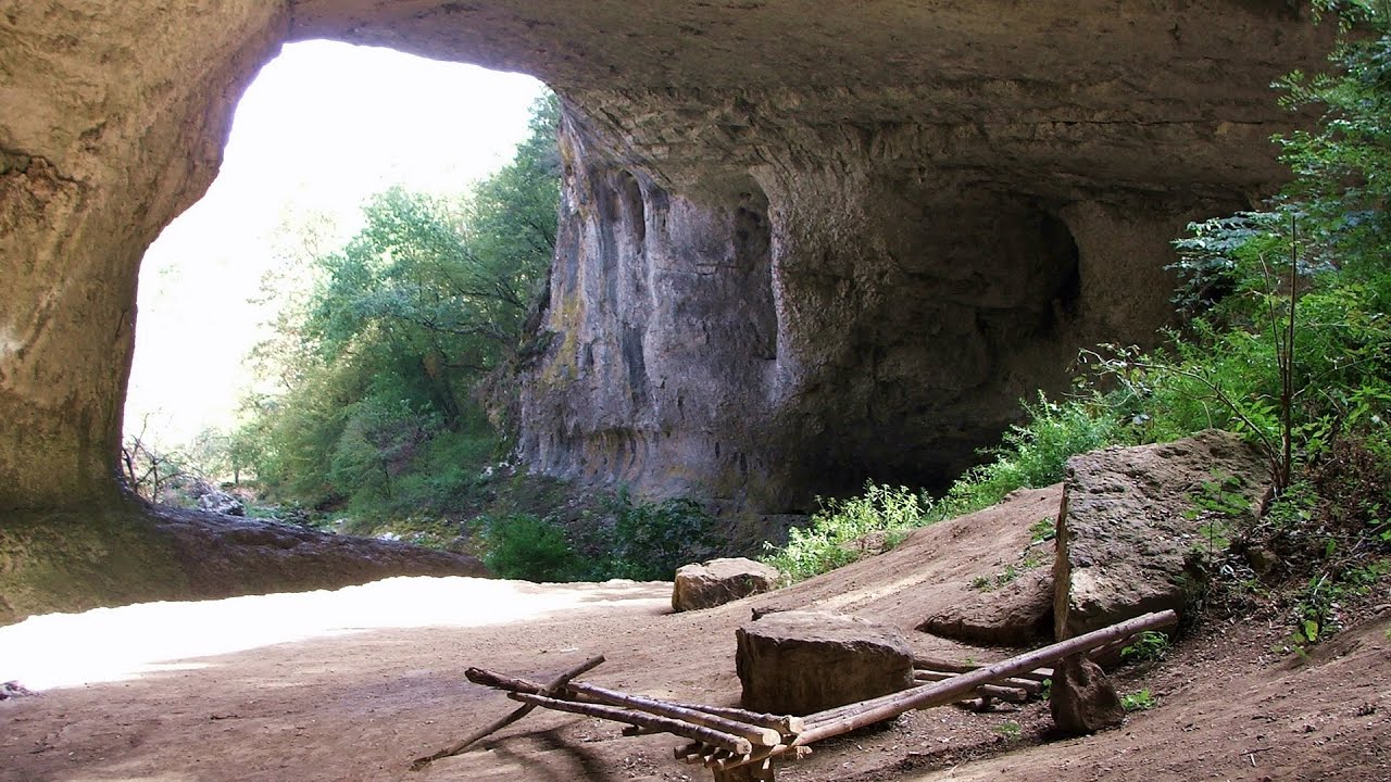
Meziad cave - Padurea Craiului Mountains 11.1 km away. The Meziad Cave is located near the village of Meziad, 22 km north of Beius, in the Padurea Craiului Mountains. It is one of our first tourist caves, its exploration is associated with the name of Gyula Czárán, cave researcher and writer.

Crystal Cave at Farcu Mine 15.1 km away. In the Padurea Craiului Mountains, near Rosia, in the Farcu bauxite mine, in 1987, the miners accidentally discovered a cave. It was filled with crystal-shaped limestone formations.

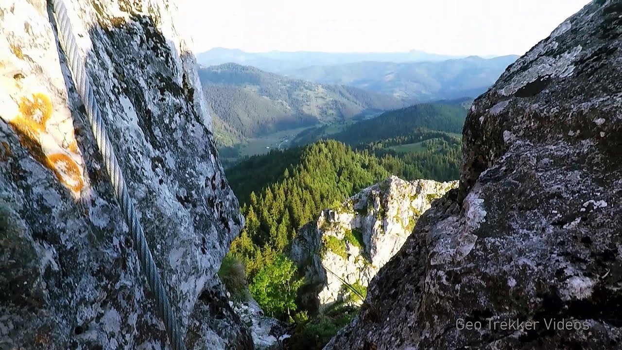
Black Rocks iron path - Bihor Mountains 26 km away. Black Rocks is located in the Bihor Mountains, near the Vartop Saddle, to the west of it. It is interesting that the locals (if I understood correctly) do not know this name, but use the name Piatra Buna (meaning Good Stone) for this spectacular rock.

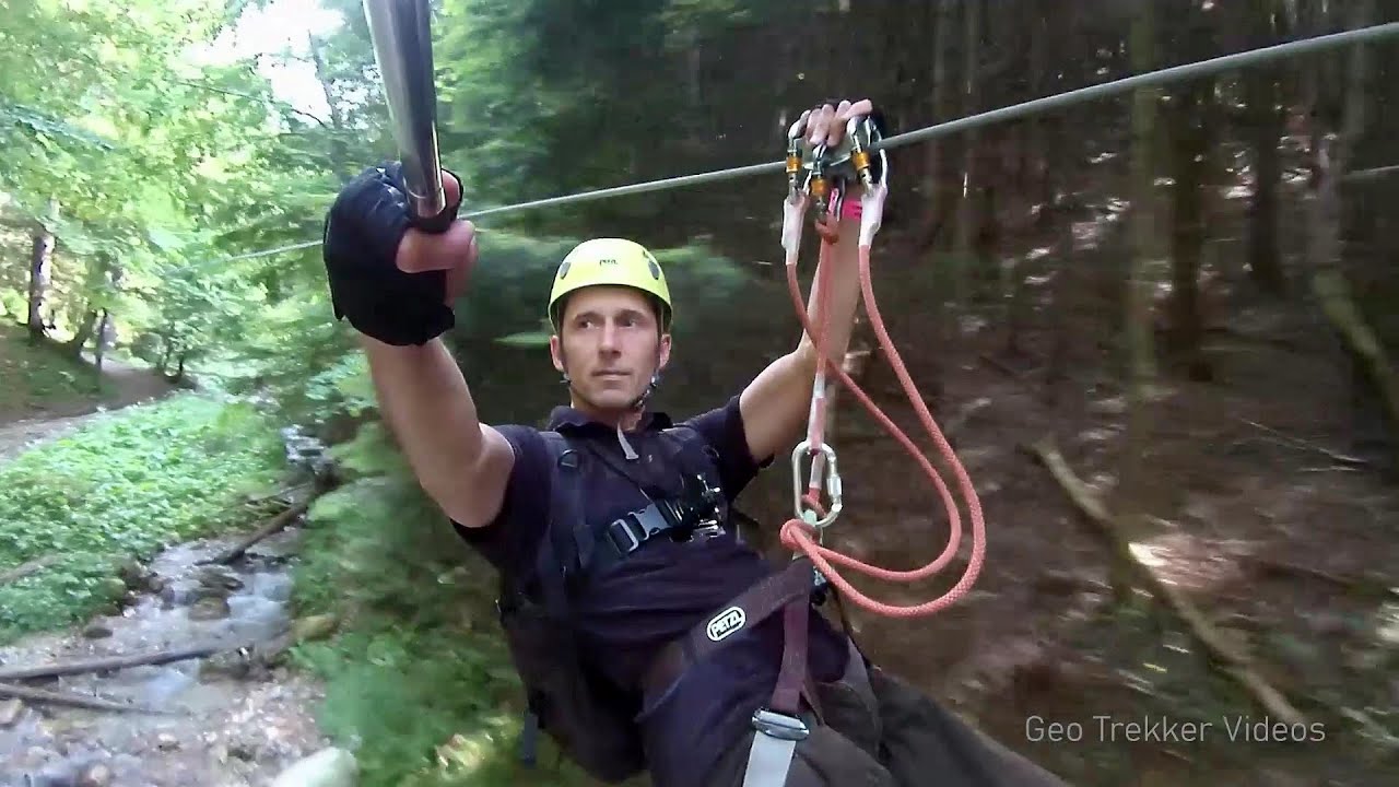
Hodoaba Valley iron path - Suncuius 30.2 km away. The Hodoaba Valley iron path is Romania's shortest and easiest (official) via ferrata route. It is located near Suncuius, in the Padurea Craiului Mountains, on the left bank of the Crisul Repede River.

Acapulcos spur via ferrata 30.8 km away. Acapulco's spur (Pintenul lui Acapulco) via ferrata (B/C) - Montana Land, Suncuius.
Other places
Turcinovac via ferrata and cave Ovcar Banja 353 km away. Difficulty level B, total length: 60 m, height difference: 45 m, year of construction: 2010. Climbing the via ferrata is only permitted with the approval of the Extreme Sports Club Armadillo from Cacak, and there is a fee for it.

The Wooden Ladders The villages of Scarisoara and Inelet, Cerna valley 185.8 km away. Scarisoara and Inelet are small, isolated villages located in the mountainous region of Banat. They are situated on the right bank of the Cerna River, approximately 19 km away from the Baile Herculane resort.

Gods bridge Vratsa 385.4 km away. Anyone who has been to Bulgaria may be familiar with the Prohodna Cave, affectionately known as the Eyes of God; the Devetashka Cave, illuminated by seven windows in its ceiling. And perhaps they have also seen the Wonderful Bridges in the Rhodope Mountains.

Kossuth Rock Harghita Bath 252.1 km away. Kossuth Rock - Harghita Bath (Harghita-Bai), Harghita Mountains.
The two niches with the visor Nochevo Dvete nishi s kozirkata (The two niches with the visor) - Nochevo.
Falco Peregrinus 2 via ferrata Falcons Rock, Corbu 254.3 km away. Falco Peregrinus (Peregrine falcon) 2 via ferrata (D) - Falcon's Rock, Corbu.
Gornjak via ferrata and Kudelinovs fortress Zdrelo 276.1 km away. Difficulty level C/D, total length: 400 m, height difference: 330 m, year of construction: 2019, total length of the route to Kudelinov's fortress: 1100 m. Access to the via ferrata is free.
[ Top ↑ ]
Copyright © 2003-2026 Trekkingklub and friends. Reproduction of any text, picture or video from this website, either in printed or electronic form, is prohibited without prior written permission. Website made with love  in Miercurea Ciuc.