Spherical concretions from Feleac | Photos


Page no. 1, photos: 1-6, 18 photos in total. >>>

The spherical concretions from Feleac are sedimentary rock materials that were cemented together to form a hard structure. The surrounding sediments slowly erode away, exposing the concretion.
Read more
Copyright © 2007 - 2026 Trekkingklub.com. Please register for full and ad-free access.
Airport nearby: Avram Iancu International Airport (CLJ - Cluj-Napoca, Ro), 12 km away.
Photos of nearby places

Tureni Gorge iron path visiting route (24 photos) 14.6 km away. Tureni Gorge iron path visiting route (via ferrata) - Trascau Mountains.


Turda Gorge - Trascau Mountains (9 photos) 17.2 km away. Turda Gorge (Cheile Turzii) - Trascau Mountains.

Turda Gorge - Trascau Mountains (11 photos) 17.2 km away. Turda Gorge (Cheile Turzii) - Trascau Mountains.

Turda Gorge via ferrata (24 photos) 17.4 km away. Turda Gorge iron path (Via ferrata Cheile Turzii) - Trascau Mountains.


Szekler Stone North - Trascau Mountains (8 photos) 28.9 km away. Szekler Stone North (Piatra Secuilor Nord) - Trascau Mountains.

Szekler Stone - Trascau Mountains (42 photos) 28.9 km away. Szekler Stone (Székely-kő, Piatra Secuilor) - Trascau Mountains.

[ Top ↑ ]
Videos of nearby places
Tureni Gorge iron path 14.5 km away. Tureni Gorge iron path visiting route (Via ferrata Cheile Tureni), Trascau Mountains.
Hilis cave - Turda Gorge via ferrata 17.4 km away. While the first time I climbed this via ferrata (Sky Fly) in the morning, now I climbed it in the light of the setting sun. The red-dressed rocks created a special atmosphere, and I could admire the sunset from the top of the climbing route.

Huda lui Papara cave - Salciua de Jos 37.3 km away. Huda lui Papara cave (Paparas Hole) - Salciua de Jos, Trascau Mountains.

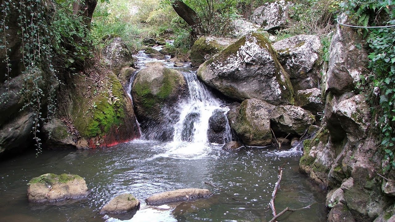
Dalbina waterfall, Dark Blue Bruises of the Ponor 38.4 km away. Dalbina waterfall, Dark Blue Bruises of the Ponor (Vanatarile Ponorului).
Other places
Suchurum waterfall Karlovo 461 km away. The 15-meter-high Suchurum Waterfall is located at the foot of the Stara Planina mountain range, 1 km north of the town of Karlovo in Bulgaria. It is situated below the Karlovo hydroelectric power plant, on the waters of the Stara Reka stream.
Jacob Hill Lookout Western Mecsek 422.2 km away. Jacob Hill is a popular hiking destination in Western Mecsek, with an elevation of 592 m. At the top, there are the ruins of a Pauline monastery and a lookout tower.
Lipovac via ferrata and monastery of Saint Stephen 375.3 km away. Difficulty level B, total length: 190 m, height difference: 90 m, year of construction: 2022. It is necessary to contact the PSK Brđanka club to obtain the key for the ladders at the entrance of the via ferrata.
Womens Spiral via ferrata, climbing fun Baia de Fier 169 km away. The Women's Spiral (Spirala Muierilor) via ferrata is set up on the rock that conceals the Women's Cave (Pestera Muierii). It is one of the seven routes near Baia de Fier as of now (2018).
Preachers Rock Bodoc Mountains 193.5 km away. In the Bodoc Mountains, west-southwest from the Henter peak, we find a rock formation shaped like a mushroom by erosion, called Preacher's Rock. This 2-meter high rock probably got its name from the pagan Hungarian priests, who preached here in the past.
Little Spiral via ferrata Baia de Fier 168.9 km away.
Via ferrata Bear Cave adventure and climbing zone Borsec 153.9 km away. The Bear Cave in Borsec is a vast natural formation, scattered with rocks and deep crevices. Access to the cave's cavities is through a series of narrow formations resembling canyons, surrounded by giant fir trees and rocks with interesting shapes.
Sterp- and White creek valleys Ciucas Mountains 230.9 km away.
Balea waterfall and the Transfagarasan mountain_road 143.3 km away. Balea waterfall and the Transfagarasan mountain road - blue triangle marked trail, Balea valley, Fagaras Mountains, Southern Carpathians.
Borov Kamak waterfall Zgorigrad, Vratsa 395.3 km away. The Vratsa eco-trail starts from the village of Zgorigrad, located 6 km from the city of Vratsa in Bulgaria, and ends at the Parshevitza hut. It is also known as the Zgorigradska or Borov Kamak eco-trail.
Ski Gyimes ski slope Lunca de Sus 182.7 km away. The Ski Gyimes ski slope is located in Lunca de Sus, right next to the main road. It is 800 m long, the level difference is 160 m.
Loreley and Pink Panther iron path Baia de Fier 168.9 km away. The Loreley via ferrata (graded B/C, with an elevation difference of approximately 100 m and a length of about 100 m) is located on the rock wall on the opposite side of the road. A branch from its upper section leads to the Pink Panther (Pantera Roz, graded A/B/C, approximately 200 meters long, with an elevation difference of about 50 meters).
Stan Valley Canyon 169.6 km away. The Stan Valley is located near Lake Vidraru, southwest of it, in the Fruntii Mountains. Those who have visited the Seven Ladders Waterfall will appreciate this canyon, outfitted with infrastructure for tourist accessibility.
Devils Mill Gorge Campulung Moldovenesc 176 km away. The Devil's Mill Gorge is relatively short, measuring only 60 to 70 meters in length. It was formed in yellowish-gray-white dolomite by the work of a stream that crosses the gorge, as a result of erosion and the dissolution characteristic of limestone.
[ Top ↑ ]
Copyright © 2003-2026 Trekkingklub and friends. Reproduction of any text, picture or video from this website, either in printed or electronic form, is prohibited without prior written permission.
The given distances are to be understood as straight line distances, and are approximate. Website made in Miercurea Ciuc  .
.