Turda Salt Mine | Photos


Page no. 1, photos: 1-6, 17 photos in total. >>>

Turda Salt Mine (Salina Turda).
Copyright © 2006 - 2026 Trekkingklub.com. Please register for full and ad-free access.
Airport nearby: Avram Iancu International Airport (CLJ - Cluj-Napoca, Ro), 24 km away.
Photos of nearby places


Tureni Gorge iron path visiting route (24 photos) 6.1 km away. Tureni Gorge iron path visiting route (via ferrata) - Trascau Mountains.


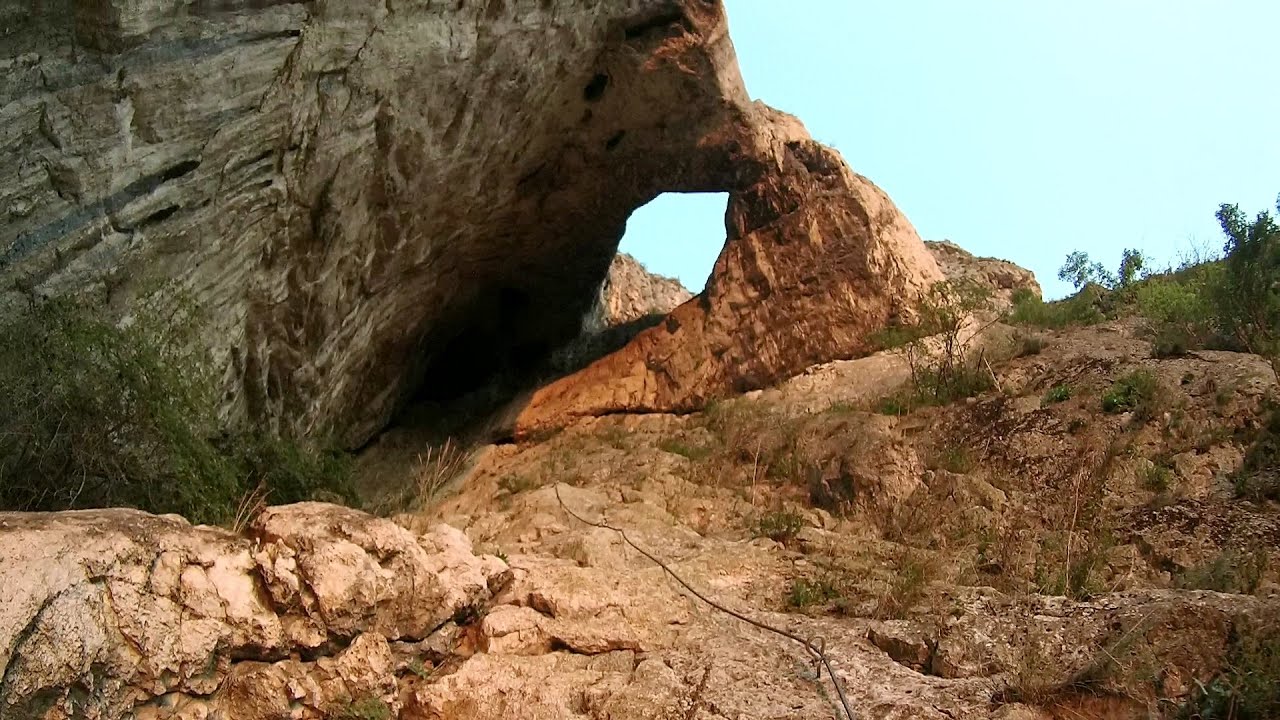
Turda Gorge via ferrata (24 photos) 7.9 km away. Turda Gorge iron path (Via ferrata Cheile Turzii) - Trascau Mountains.

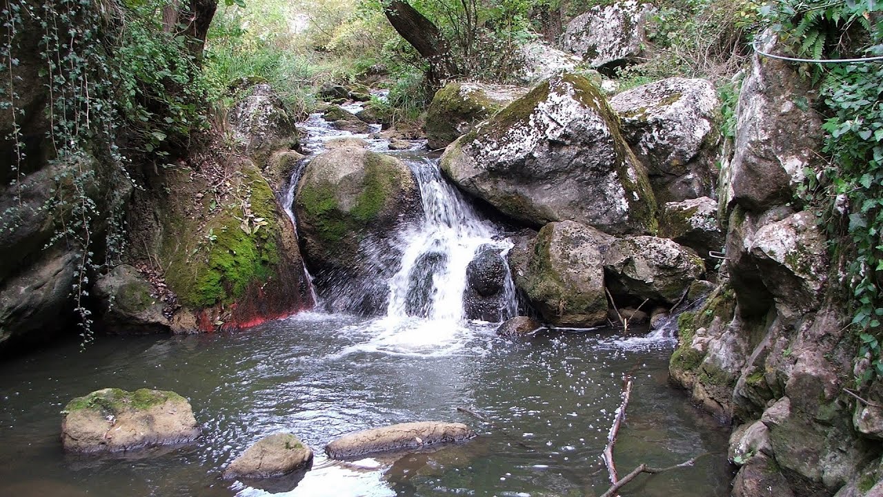
Turda Gorge - Trascau Mountains (9 photos) 8.2 km away. Turda Gorge (Cheile Turzii) - Trascau Mountains.

Turda Gorge - Trascau Mountains (11 photos) 8.2 km away. Turda Gorge (Cheile Turzii) - Trascau Mountains.

Spherical concretions from Feleac (18 photos) 20.4 km away. The spherical concretions from Feleac are sedimentary rock materials that were cemented together to form a hard structure. The surrounding sediments slowly erode away, exposing the concretion.

Szekler Stone North - Trascau Mountains (8 photos) 21.1 km away. Szekler Stone North (Piatra Secuilor Nord) - Trascau Mountains.

Szekler Stone - Trascau Mountains (42 photos) 21.1 km away. Szekler Stone (Székely-kő, Piatra Secuilor) - Trascau Mountains.


[ Top ↑ ]
Videos of nearby places
Tureni Gorge iron path 6 km away. Tureni Gorge iron path visiting route (Via ferrata Cheile Tureni), Trascau Mountains.
Hilis cave - Turda Gorge via ferrata 7.9 km away. While the first time I climbed this via ferrata (Sky Fly) in the morning, now I climbed it in the light of the setting sun. The red-dressed rocks created a special atmosphere, and I could admire the sunset from the top of the climbing route.

Huda lui Papara cave - Salciua de Jos 33.1 km away. Huda lui Papara cave (Paparas Hole) - Salciua de Jos, Trascau Mountains.
Dalbina waterfall, Dark Blue Bruises of the Ponor 34 km away. Dalbina waterfall, Dark Blue Bruises of the Ponor (Vanatarile Ponorului).

Other places
Loreley and Pink Panther iron path Baia de Fier 154.7 km away. The Loreley via ferrata (graded B/C, with an elevation difference of approximately 100 m and a length of about 100 m) is located on the rock wall on the opposite side of the road. A branch from its upper section leads to the Pink Panther (Pantera Roz, graded A/B/C, approximately 200 meters long, with an elevation difference of about 50 meters).
Acapulcos spur via ferrata 101.7 km away. Acapulco's spur (Pintenul lui Acapulco) via ferrata (B/C) - Montana Land, Suncuius.
Rudariei watermills Eftimie Murgu 231 km away. I have visited the twenty-two wooden water mills with horizontal wheels, located in the valley of the Rudaria stream, mostly in the rain and under an umbrella. Some of them are still in use today.
The palm of God and the Heavens door Fundatura Ponorului mountain village 124.1 km away. One of the most picturesque places in Romania, one of the most beautiful mountain villages, and a photographer's paradise. Fundatura Ponorului is located in the Ponor Stream Valley, part of the Gradistea Muncelului - Cioclovina National Park, in the Sureanu Mountains.
Via ferrata Tatabánya 421.4 km away. I climbed Kata! Who is Kata?
Pricske peak Giurgeu Mountains 141.9 km away. If we want to reach Pricske (Prisca) peak, which rises above Gheorgheni and Lazarea, we start from the valley of the Güdüc (Ghidut) stream. Our path leads us past the ruins of a building known as the White House.
Big Via ferrata Rasnoavei Gorge 177.1 km away. The most dangerous Eastern European iron path, and also one of the most beautiful via ferrata routes in Romania, is in the Rasnoavei Gorges, Postavaru Mountains.The route is 450 m long, with a level difference of 220 m.
Prohodna cave Karlukovo 379.8 km away. The Prohodna cave nicknamed The Eyes of God is located in Bulgaria, in the Iskar Gorge, on one of the largest karst areas in Bulgaria, 2 km from the town of Karlukovo. It is essentially a 262-meter-long natural stone bridge, with a large (45 m high) and a small (35 m high) entrance.
Krushuna waterfalls Krushuna 384.3 km away. The Krushuna Waterfalls are a series of karst cascades formed in travertine. They are located near the village of Krushuna, not far from the town of Lovech, and are Bulgaria's largest waterfall of this type.
Sheepdogs Govora sheepfold Retezat mountains 145.4 km away. On the second day of my weekend Retezat hike, I visited a sheepfold on the Lancita Ridge. To my great disappointment, they didn't make cheese or curd here.
Devils Mill Gorge Campulung Moldovenesc 170.7 km away. The Devil's Mill Gorge is relatively short, measuring only 60 to 70 meters in length. It was formed in yellowish-gray-white dolomite by the work of a stream that crosses the gorge, as a result of erosion and the dissolution characteristic of limestone.
Bovska Skaklya waterfall Iskar gorge 396.2 km away. The Bovska Skaklya waterfall is located near the town of Svoge in Bulgaria. The waterfall formed on the Zaselska River has several reported heights online (120 m, 85 m).
Via Ferrata Fairy Castle Vadu Crisului 105.4 km away. Via Ferrata Fairy Castle (Castelul Zanelor, Casa Zmeului, The House of the Dragon) - Vadu Crisului. South of Vadu Crisului, in the Padurea Craiului Mountains, lies the Vadu Crisului Gorge, a section of the Crisul Repede river that narrows between rocky walls.
Dóczi stone-quarry Jigodin 158.8 km away.
Bicajel Gorge, Bicajel Waterfall, Stone of the Gorge 158.5 km away. Bicajel Gorge (Cheile Bicajelului), Bicajel Waterfall (Cascada Bicajel), Stone of the Gorge (Surduc Stone, Piatra Surducului) - Hasmas Mountains.
[ Top ↑ ]
Copyright © 2003-2026 Trekkingklub and friends. Reproduction of any text, picture or video from this website, either in printed or electronic form, is prohibited without prior written permission.
The given distances are to be understood as straight line distances, and are approximate. Website made in Miercurea Ciuc  .
.