Tureni Gorge | Photos


Page no. 1, photos: 1-6, 24 photos in total. >>>

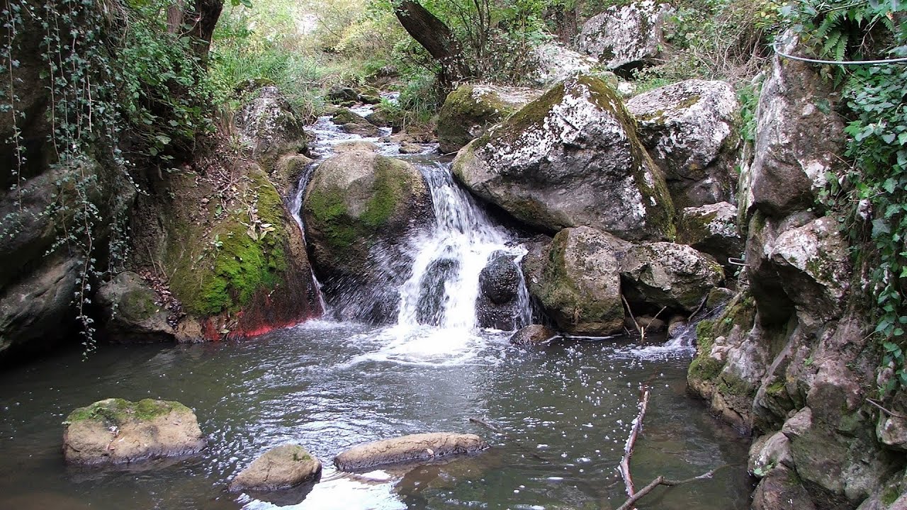
Tureni Gorge (Cheile Tureni) - Tureni, Trascau Mountains.
Copyright © 2009 - 2026 Trekkingklub.com. Please register for full and ad-free access.
Airport nearby: Avram Iancu International Airport (CLJ - Cluj-Napoca, Ro), 20 km away.
Photos of nearby places

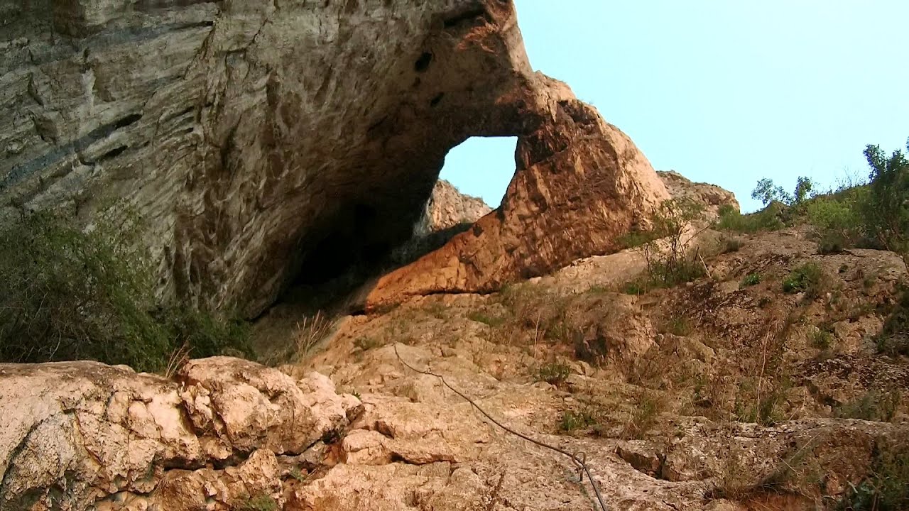
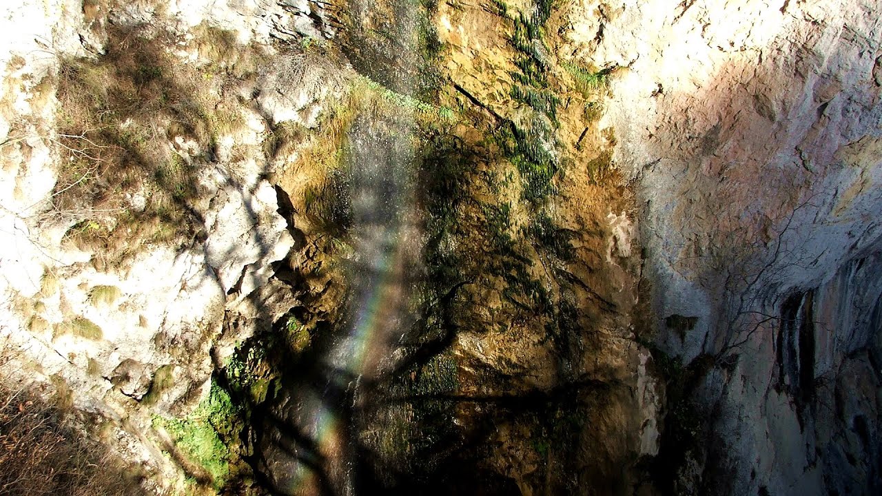
Tureni Gorge iron path visiting route (24 photos) 0 km away. Tureni Gorge iron path visiting route (via ferrata) - Trascau Mountains.

Turda Gorge via ferrata (24 photos) 5.4 km away. Turda Gorge iron path (Via ferrata Cheile Turzii) - Trascau Mountains.

Turda Gorge - Trascau Mountains (9 photos) 5.4 km away. Turda Gorge (Cheile Turzii) - Trascau Mountains.

Turda Gorge - Trascau Mountains (11 photos) 5.4 km away. Turda Gorge (Cheile Turzii) - Trascau Mountains.


Spherical concretions from Feleac (18 photos) 14.6 km away. The spherical concretions from Feleac are sedimentary rock materials that were cemented together to form a hard structure. The surrounding sediments slowly erode away, exposing the concretion.

Szekler Stone North - Trascau Mountains (8 photos) 20.3 km away. Szekler Stone North (Piatra Secuilor Nord) - Trascau Mountains.

Szekler Stone - Trascau Mountains (42 photos) 20.3 km away. Szekler Stone (Székely-kő, Piatra Secuilor) - Trascau Mountains.


Aries valley - Trascau Mountains (10 photos) 28.2 km away. Aries (Golden) valley - Trascau Mountains.
[ Top ↑ ]
Videos of nearby places
Tureni Gorge iron path 0.5 km away. Tureni Gorge iron path visiting route (Via ferrata Cheile Tureni), Trascau Mountains.
Hilis cave - Turda Gorge via ferrata 5.4 km away. While the first time I climbed this via ferrata (Sky Fly) in the morning, now I climbed it in the light of the setting sun. The red-dressed rocks created a special atmosphere, and I could admire the sunset from the top of the climbing route.

Huda lui Papara cave - Salciua de Jos 31.6 km away. Huda lui Papara cave (Paparas Hole) - Salciua de Jos, Trascau Mountains.
Dalbina waterfall, Dark Blue Bruises of the Ponor 32.6 km away. Dalbina waterfall, Dark Blue Bruises of the Ponor (Vanatarile Ponorului).

Other places
Niedzica Castle 401.5 km away. Niedzica Castle (Dunajec Castle, Zamek w Niedzicy).
Drina river house Bajina Bašta 435.9 km away. The house visible on the Drina River (Kućica na Drini) is a unique wooden structure built on a rock in the middle of the river, near Bajina Bašta, Serbia. The house is located on the border between Serbia and Bosnia-Herzegovina, close to the border line between the two countries.
Zip-line near Seven Ladder Canyon Piatra Mare Mountain 187.8 km away.
TV-radio amplifying station Harghita Ciceu 148.4 km away. The hiking trail marked with a blue stripe starts at the Uz Bence shelter and runs from Harghita-Bai to Harghita Madaras. Our destination today is the Harghita Ciceu plateau.
Bicajel Gorge, Bicajel Waterfall, Stone of the Gorge 163.4 km away. Bicajel Gorge (Cheile Bicajelului), Bicajel Waterfall (Cascada Bicajel), Stone of the Gorge (Surduc Stone, Piatra Surducului) - Hasmas Mountains.
Upstream of the Izvorul Dorului creek Vanturis waterfalls 196.4 km away. Upstream of the Izvorul Dorului (Source of longing) creek - Vanturis waterfalls, Bucegi Mountains.
Dóczi stone-quarry Jigodin 164.6 km away.
The Trovants Museum in Winter Costesti 166.1 km away.
Lonely Stone Hasmas Mountains 161.9 km away. On June 1, 2003, with a small group of friends, I left Balan, walking along the valley of the Sep (Beautiful) stream towards the Lonely Stone (Piatra Singuratica). Those who were with me at the time fell behind, and then other people joined for the hike.
Mine lake Megyer mountain, Sárospatak 251.9 km away. The via ferrata routes of the Megyer mountain mine lake. The geologists' path E 25 m, Szabó József-memorial path C 200 m, Amphitheater D 40 m, Devil's Cauldron E 70 m, Sweet aquatic life D 150 m, Velociraptor C 35 m.
Agnes Waterfall Western Mecsek 424.3 km away. The Agnes Waterfall is the largest waterfall in the Mecsek region, although the stream's water only cascades down from a height of one and a half to two meters, over a travertine ledge. Nearby attractions include the Meleg-mány Waterfall and the Mánfa Stone-Cave.
Krushuna waterfalls Krushuna 388.5 km away. The Krushuna Waterfalls are a series of karst cascades formed in travertine. They are located near the village of Krushuna, not far from the town of Lovech, and are Bulgaria's largest waterfall of this type.
With snowshoes in the Tihu creek valley Rastolita 119.8 km away. We met geotrekking treasure hunters from Gheorgheni, Miercurea Ciuc and Targu Mures in Rastolita. We entered the Calimani Mountains with an off-road vehicle, along the Rastolita and Tihu streams.
Wild Ferenc iron path Suhardul Mic 160.5 km away. While I climbed the new iron path mostly in the dark for the first time, this time I managed to explore it during the day. But I still missed the sunset by a few minutes.
Balea waterfall and the Transfagarasan mountain_road 128.9 km away. Balea waterfall and the Transfagarasan mountain road - blue triangle marked trail, Balea valley, Fagaras Mountains, Southern Carpathians.
[ Top ↑ ]
Copyright © 2003-2026 Trekkingklub and friends. Reproduction of any text, picture or video from this website, either in printed or electronic form, is prohibited without prior written permission.
The given distances are to be understood as straight line distances, and are approximate. Website made in Miercurea Ciuc  .
.