Tourist attractions near Petrestii de Mijloc (Petrestii de Jos, Cluj county, Romania)
Photos of nearby places

Turda Gorge - Trascau Mountains (9 photos) 1.4 km away. Turda Gorge (Cheile Turzii) - Trascau Mountains.

Turda Gorge - Trascau Mountains (11 photos) 1.4 km away. Turda Gorge (Cheile Turzii) - Trascau Mountains.

Turda Gorge via ferrata (24 photos) 1.6 km away. Turda Gorge iron path (Via ferrata Cheile Turzii) - Trascau Mountains.

Tureni Gorge iron path visiting route (24 photos) 6.3 km away. Tureni Gorge iron path visiting route (via ferrata) - Trascau Mountains.


Szekler Stone North - Trascau Mountains (8 photos) 14.2 km away. Szekler Stone North (Piatra Secuilor Nord) - Trascau Mountains.

Szekler Stone - Trascau Mountains (42 photos) 14.2 km away. Szekler Stone (Székely-kő, Piatra Secuilor) - Trascau Mountains.

Spherical concretions from Feleac (18 photos) 16.8 km away. The spherical concretions from Feleac are sedimentary rock materials that were cemented together to form a hard structure. The surrounding sediments slowly erode away, exposing the concretion.

Aries valley - Trascau Mountains (10 photos) 21.8 km away. Aries (Golden) valley - Trascau Mountains.

Balcony Clearing - Trascau Mountains (6 photos) 22.9 km away. Balcony Clearing (Erkély-tisztás, Balconul Sipotelor) - Trascau Mountains.

Dark Blue Bruises of the Ponor, Bedeleu (24 photos) 23.7 km away. Dark Blue Bruises of the Ponor (Vanatarile Ponorului), Bedeleu - Trascau Mountains.

Dark Blue Bruises of the Ponor - Trascau Mountains (16 photos) 26.4 km away. The Dark Blue Bruises of the Ponor (Vanatarile Ponorului) is a polje-type protected area. Polje is a Slovenian word meaning plain, and it refers to a surface karst form.

Goats Ledge - Trascau Mountains (10 photos) 33.3 km away. Goats Ledge (Brana Caprei, Kecskék párkánya) - Trascau Mountains .

Stone of Cetea, Horse Pit - Trascau (16 photos) 35.8 km away. Stone of Cetea, Horse Pit (The pit cave from the Stone of Cetea) - Trascau Mountains.

Goat Stone - Craiva, Trascau Mountains (18 photos) 41.5 km away. Goat Stone (Piatra Craivii, Piatra Craivei, Apulon) - Craiva, Trascau Mountains.


Dragons Garden - Galgau Almasului (20 photos) 75.4 km away. The natural reservation site Dragon's Garden (Gradina Zmeilor, Sárkányok kertje) from Galgaul Almasului is located in Salaj County, in the Western Carpathians. This natural playground is made up of interesting and unusual sandstone formations, an ensemble of 10-12 m high towers with strange figures cut in sandstone by the wind and water erosion.

[ Top ↑ ]
Videos of nearby places
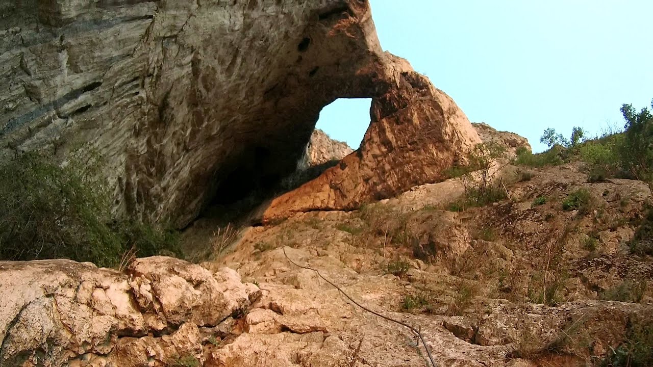
Hilis cave - Turda Gorge via ferrata 1.7 km away. While the first time I climbed this via ferrata (Sky Fly) in the morning, now I climbed it in the light of the setting sun. The red-dressed rocks created a special atmosphere, and I could admire the sunset from the top of the climbing route.
Tureni Gorge iron path 6.8 km away. Tureni Gorge iron path visiting route (Via ferrata Cheile Tureni), Trascau Mountains.

Huda lui Papara cave - Salciua de Jos 25.3 km away. Huda lui Papara cave (Paparas Hole) - Salciua de Jos, Trascau Mountains.
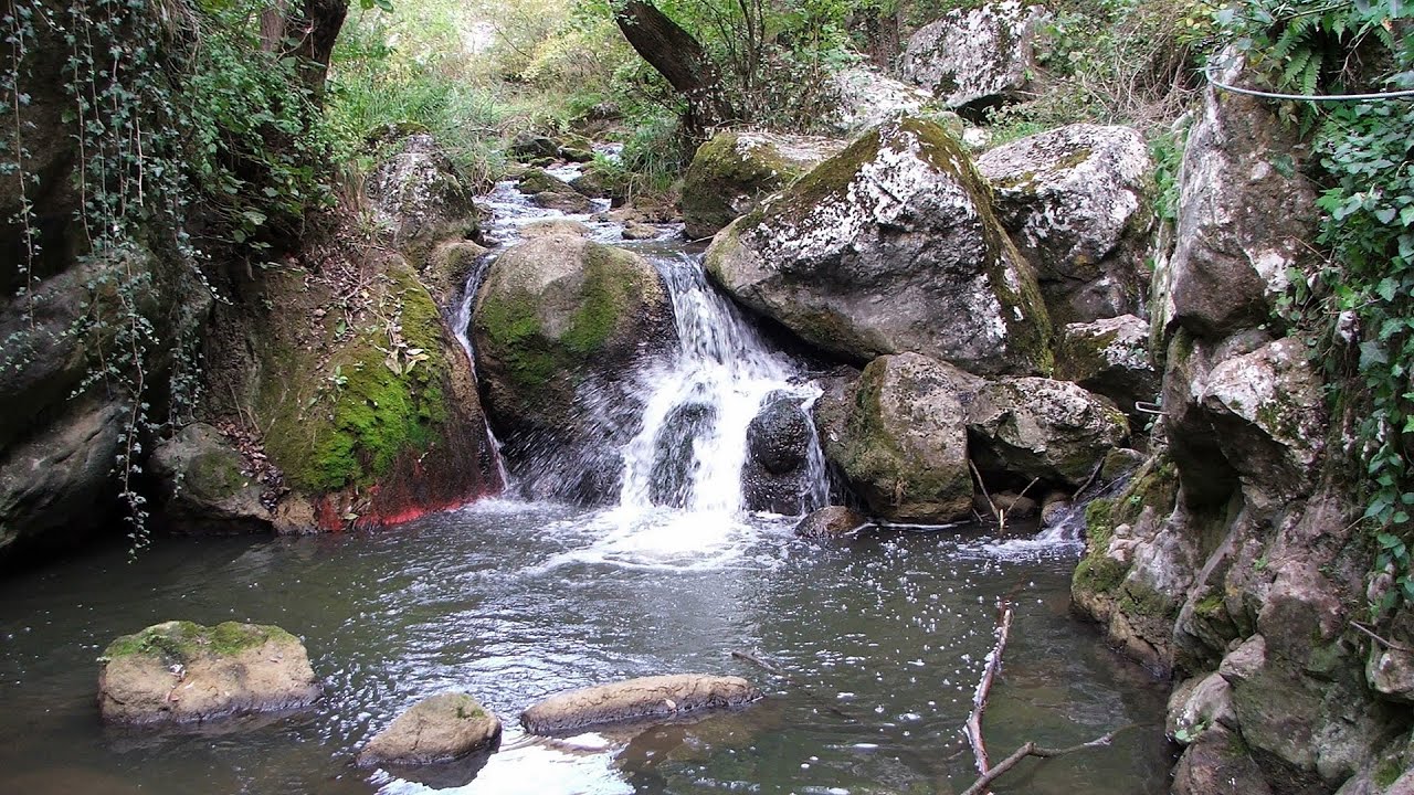
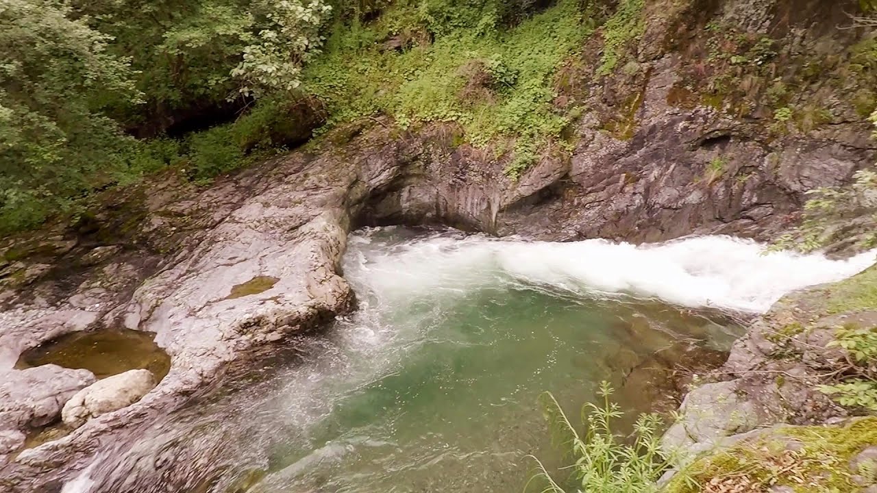
Dalbina waterfall, Dark Blue Bruises of the Ponor 26.3 km away. Dalbina waterfall, Dark Blue Bruises of the Ponor (Vanatarile Ponorului).

Other places
Deubels path Piatra Craiului Mountains 166 km away. Deubels path - Piatra Craiului Mountains (Kings Rock).
Castle panorama route, Zoltán Tálos memorial route, Besiegers route Csesznek 447 km away. Castle panorama route (D), Zoltán Tálos memorial route (E), Besieger's route (C), Kőmosó-ravine, Csesznek, Veszprém county, Hungary. The via ferratas in Csesznek are suitable for both getting acquainted with climbing, and assessing our capabilities.

Big Via ferrata Rasnoavei Gorge 183 km away. The most dangerous Eastern European iron path, and also one of the most beautiful via ferrata routes in Romania, is in the Rasnoavei Gorges, Postavaru Mountains.The route is 450 m long, with a level difference of 220 m.
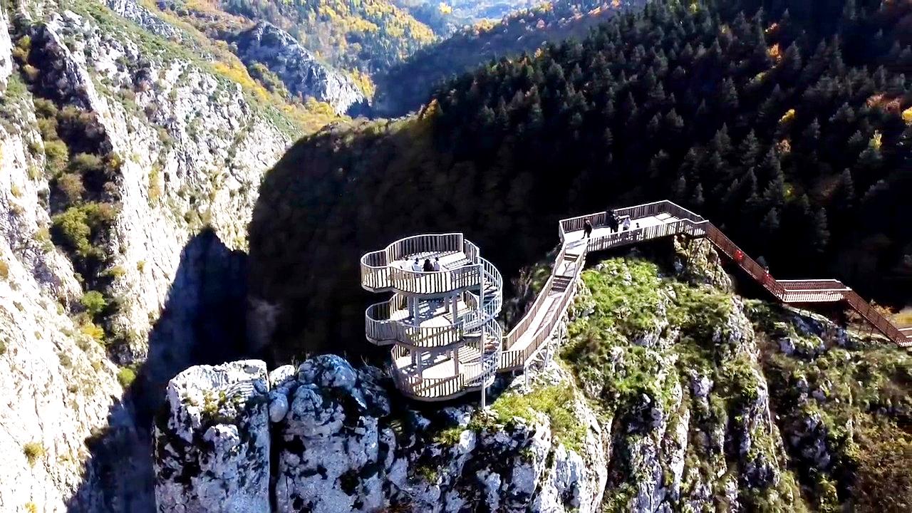
Valla Canyon Observation Deck Küre Mountains National Park Situated within Küre Mountains National Park, the Valla canyon is one of the deepest in Turkey, with a depth of 800 meters. The 12 kilometer long canyon was formed by the Devrekani Stream, which cuts through the Küre Mountains.
Byala Reka eco-trail Kalofer 446.5 km away. The Byala Reka eco-trail is situated at the foot of the Stara Planina mountain range, 8 km from the town of Kalofer. A 1,830-meter-long hiking trail has been established along the White Creek within the Central Balkan National Park.


Devils Bridge Ardino The Devil's Bridge (Dyavolski Most, in Turkish Sheytan Kyupriya) is located in the gorge of the Arda River, just north of the town of Ardino in Bulgaria. It was constructed in the early 16th century, between 1515 and 1518, by an architect named Dimitar, on the remains of an earlier Roman bridge.
The two niches with the visor Nochevo Dvete nishi s kozirkata (The two niches with the visor) - Nochevo.
Thracian stone sharapani Nochevo Sharapani is a traditional stone container used by ancient Thracians for processing grapes in wine production. Two well-preserved sharapani containers are located about 200 meters apart.
[ Top ↑ ]
Copyright © 2003-2026 Trekkingklub and friends. Reproduction of any text, picture or video from this website, either in printed or electronic form, is prohibited without prior written permission. Website made with love  in Miercurea Ciuc.