Tourist attractions near Fagetel (Frumoasa, Harghita county, Romania)
Photos of nearby places

The sources of the river Trotus - Fagetel (10 photos) 4.3 km away. Fagetel, Piposz property, The sources of the river Trotus (Tatros).

Condra cross - Three rocks peak (24 photos) 13.3 km away. Condra cross - Trei Pietre (Three rocks) peak.

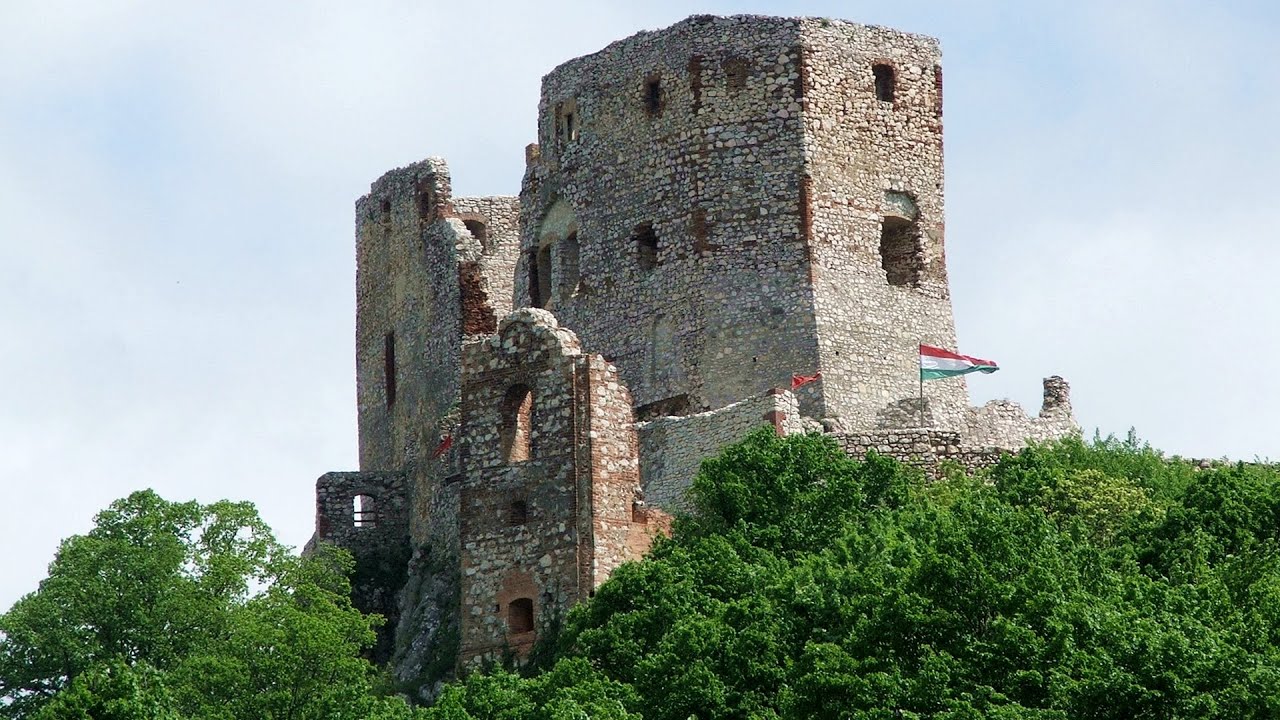
Ruins of the Harom fortress - Jigodin Bath (10 photos) 20.6 km away. The Harom Fortress was built around the beginning of the 12th century and was part of the system of fortifications that protected Transylvania from the east. It is located south of Miercurea Ciuc, east of Harom Peak, which has an altitude of 1079 m, near the southwestern limits of Jigodin Bath (Baile Jigodin).

Brother Mountain - Hasmas Mountains (15 photos) 25 km away. Brother Mountain (Fratele, Ecem, Ecsém) - Hasmas Mountains.

Harghita Bath - Harghita Mountains (15 photos) 25.7 km away. Harghita Bath (Harghita-Bai) - Harghita Mountains.

Brother Mountain - Hasmas Mountains (11 photos) 25.9 km away. Brother Mountain (Ecsém-tető, Muntele Fratele, Muntele Ecem) - Hasmas Mountains.


Watchstone and the Lonely Stone in March (18 photos) 26.5 km away. Watchstone (Stanca La Panda) and the Lonely Stone (Piatra Singuratica) in March.

Lonely Stone - Hasmas Mountains (9 photos) 26.5 km away. Lonely Stone (Piatra Singuratica) - Hasmas Mountains.

Valley of the Lazarus-creek - Hasmas Mountains (15 photos) 28.2 km away. Valley of the Lazarus-creek (Valea paraului Lazar), Log Slide - Hasmas Mountains.

Lazar peak - Hasmas Mountains (18 photos) 29.7 km away. The pit under the Lazar peak 2004-09-02, 2014-11-27.

White Glade - Hasmas Mountains (6 photos) 31.6 km away. White Glade (Poiana Alba) - Hasmas Mountains.

Dry Valley canyon - Hasmas Mountains (9 photos) 31.7 km away. Dry Valley (Paraului Sec) canyon - Hasmas Mountains.

Sugo Cave - Giurgeu Mountains (60 photos) 32.3 km away. The Sugó Cave is located at the western foot of Sipos Stone (1566 m) at an altitude of 1064 m above sea level. It consists of a system of passages with four levels, totaling 1021 m in length and a level difference of -60 m.


White Glade, Horseshoe Rock (17 photos) 32.3 km away. White Glade (Poiana Alba), Horseshoe Rock (Piatra Potcoavei) - Hasmas Mountains.

Horseshoe Rock - Hasmas Mountains (9 photos) 32.3 km away. Horseshoe Rock (Piatra Potcoavei) - Hasmas Mountains.

Black Hasmas - Hasmas Mountains (27 photos) 32.5 km away. Hasmasul Negru (Black Hasmas) - Hasmas Mountains.


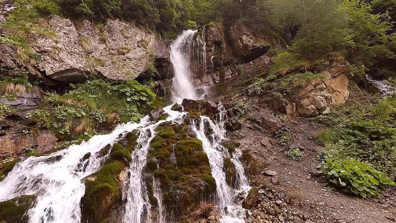
Beer waterfall - Gosmanu Ridge (12 photos) 33.3 km away. Beer waterfall (Cascada Berea) - Gosmanu Ridge, Tarcau Mountains.

Pit cave with three entrances - Hasmas Mountains (3 photos) 33.8 km away. Pit cave with three entrances (Avenul cu trei intrari) - Hasmas Mountains.

[ Top ↑ ]
Videos of nearby places

SkiGyimes ski slope - Lunca de Sus 6.5 km away. It is well-known that in Rimetea, due to the Piatra Secuiului (Szekler's Rock) mountain, the Sun rises twice. However, perhaps few know that in Lunca de Sus, the Sun sets three times.

Ski Gyimes ski slope - Lunca de Sus 6.5 km away. The Ski Gyimes ski slope is located in Lunca de Sus, right next to the main road. It is 800 m long, the level difference is 160 m.


Walking to the top of Sumuleul Mare - Sumuleu Ciuc 13.4 km away. This was my first attempt at shooting a video.

Other places
Mammoth Cave Dachstein Salzkammergut, Obertraun am Hallstättersee The first station of the Dachstein Krippenstein cable car, which starts in Obertraun, in the southern part of Lake Hallstatt, is Schönbergalm. Here you can find the Giant Ice Cave (Rieseneishöhle) and the Mammoth Cave (Mammuthöhle).

Via Ferrata Fairy Castle Vadu Crisului 268.1 km away. Via Ferrata Fairy Castle (Castelul Zanelor, Casa Zmeului, The House of the Dragon) - Vadu Crisului. South of Vadu Crisului, in the Padurea Craiului Mountains, lies the Vadu Crisului Gorge, a section of the Crisul Repede river that narrows between rocky walls.
Skaklya waterfall Vratsa 411 km away. The largest seasonal waterfall in Bulgaria plunges down from a height of 141 meters. It is located in the Vratsa Mountain National Park, just one and a half kilometers away from the city of Vratsa.
Castle panorama route, Zoltán Tálos memorial route, Besiegers route Csesznek Castle panorama route (D), Zoltán Tálos memorial route (E), Besieger's route (C), Kőmosó-ravine, Csesznek, Veszprém county, Hungary. The via ferratas in Csesznek are suitable for both getting acquainted with climbing, and assessing our capabilities.
Foamy valley waterfall Bucegi Mountains 122.1 km away. Access to the Foamy valley waterfall (Cascada Valea Spumoasa) is made from the town of Busteni. The starting point is the lower station of the cable car that ascends to the Babele cabin.
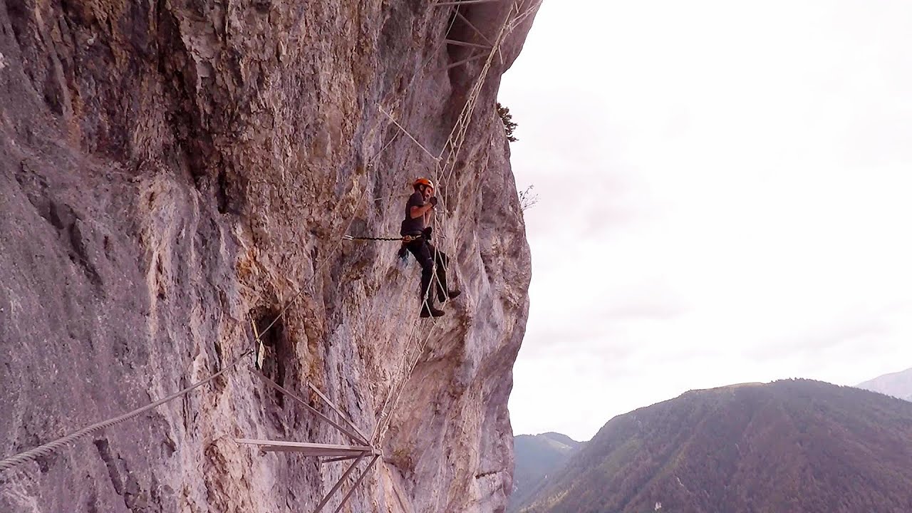
Play Wall via ferrata park Mariazeller via ferrata, Felixs Ladder to the Heaven, Devils Bridge Located only ten kilometers from the town of Mariazell, you'll find the via ferrata park known as the Play Wall (Klettersteigpark Spielmäuer). Here, we find three via ferratas: Olivers Mariazeller Steig (B/C), Felix Himmelleiter (D), and Tristans Kirchbogensteig (C).

Belogradchik fortress 407.2 km away. Belogradchik is located in the northwestern part of Bulgaria, in the Vidin Province, at the foot of the Balkan Mountains, near the Serbian border. Its name means little white town.


Corcoaia Gorge Gorj county 292.6 km away. The Corcoaia Gorge is one of the most beautiful tourist attractions in the Cerna Valley. It can be reached by car, 43 km away from Baile Herculane, of which about 17 km is on a dusty gravel road.
[ Top ↑ ]
Copyright © 2003-2026 Trekkingklub and friends. Reproduction of any text, picture or video from this website, either in printed or electronic form, is prohibited without prior written permission. Website made with love  in Miercurea Ciuc.