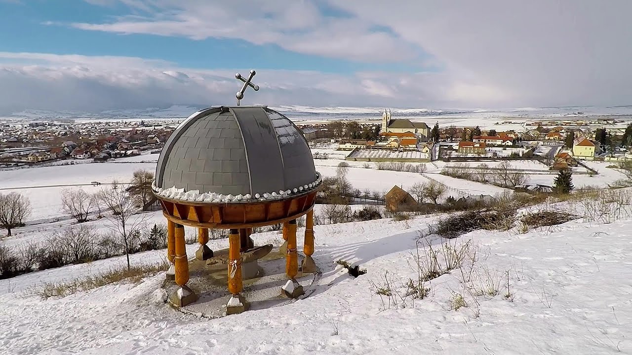
Fagetel, Piposz property, The sources of the river Trotus (Tatros) - photos

64042644800
64042654801
64042664802
64042674803
64042694804
64042704805
64042724806
64042804807
Page no. 1, photos: 1-8, 10 photos in total. >>>

[ Hu ] - [ Ro ] - Hiking - Ghimes-region
6th September 2011. Copyright © 2011 - 2024 Trekkingklub.com.
Already published 8077 photos and 65 videos. Please register for full access.

Photos of nearby places

Frumoasa Lake - Hay Road
Frumoasa Lake - Hay Road (7th March 2012 - 10 photos) 7.83 km away
Pagan Mountain - Beautiful Mountain
Pagan Mountain - Beautiful Mountain (21st June 2009 - 24 photos) 7.94 km away
Ghimes Pass - Pagan Mountain
Ghimes Pass - Pagan Mountain (21st June 2009 - 16 photos) 8.28 km away
Owl fortress - Lunca de Sus, Ghimes
Owl fortress - Lunca de Sus, Ghimes (21st June 2009 - 15 photos) 10.77 km away
Condra cross - Trei Pietre (Three rocks) peak
Condra cross - Trei Pietre (Three rocks) peak (4th July 2009 - 24 photos) 16.33 km away
The ruins of Harom fortress near Baile Jigodin
The ruins of Harom fortress near Baile Jigodin (15th October 2007 - 10 photos) 21.61 km away
Iavardi valley and peak
Iavardi valley and peak (20th May 2012 - 47 photos) 23.07 km away
[ Top ↑ ]

Videos of nearby places

Ski Gyimes ski slope - Lunca de Sus 9.22 km away
The Ski Gyimes ski slope is located in Lunca de Sus, right next to the main road. It is 800 m long, the level difference is 160 m. There are two lifts that takes you up to an altitude of 1060 meters above sea level.
Walking to the top of Sumuleul Mare - Sumuleu Ciuc 14.65 km away
This was my first attempt at shooting a video.
Nobody's lake - Miercurea Ciuc 20.88 km away
The passage of time (time lapse), dusk at Nobody's Lake. Miercurea Ciuc and the Sumuleu mountain can be seen in the background.
Giant fir trees - Ghimes 25.1 km away
One of the lesser-known attractions of Ghimes is the two giant-sized common fir trees. They are 42 meters tall, and have diameters of 110 cm and 130 cm at chest height. Their estimated age is 200-250 years.
Iron path - Harghita-Madaras 33.44 km away
Amateur filming in Harghita-Madaras, holding the camera by hand in the car, and helmet-mounted on the via ferrata. I climbed an iron path for the first time in my life on the Nyerges cliffs (Stancile Seii), I didn't have the right equipment yet. That's where I fell in love with climbing.

Other videos

Waterfalls of Velnita stone-quarry Targu Ocna 49.82 km away
Starting from the Velnita quarry, an adventurous nature enthusiast, accustomed to wild and rugged terrains, will discover a true waterfall paradise. At the upper part of the quarry, two streams converge.
Black Rocks iron path Bihor Mountains 258.05 km away
Black Rocks is located in the Bihor Mountains, near the Vartop Saddle, to the west of it. It is interesting that the locals (if I understood correctly) do not know this name, but use the name Piatra Buna (meaning Good Stone) for this spectacular rock.
Pricske peak Giurgeu Mountains 49.02 km away
If we want to reach Pricske (Prisca) peak, which rises above Gheorgheni and Lazarea, we start from the valley of the Güdüc (Ghidut) stream. Our path leads us past the ruins of a building known as the White House.
Preacher's Rock Bodoc Mountains 48.22 km away
In the Bodoc Mountains, west-southwest from the Henter peak, we find a rock formation shaped like a mushroom by erosion, called Preacher's Rock. This 2-meter high rock probably got its name from the pagan Hungarian priests, who preached here in the past.
Hias Klettersteig Silberkarklamm, Ramsau am Dachstein 938.09 km away
The Hias Klettersteig in the Silberkarklamm gorge is the first of the three via ferrata routes, and perhaps the easiest to complete. Two cable bridges and a few trickier sections make it interesting, but it is truly impressive due to the view of the narrow gorge.
Aareschlucht Meiringen-Innertkirchen, Switzerland 1356.62 km away
The Aareschlucht is a 1400-meter long, 200-meter deep gorge of the Aare river, near Innertkirchen, Switzerland. It has two entrances, one from Meiringen in the west, and one from Innertkirchen in the east, which lead into the narrow, but stunning gorge.
Via ferrata de la Grande Fistoire France 1568.25 km away
Because I lost the footage I made the first time (don't buy SD cards from Alibaba!), at the end of June I visited this great and exciting via ferrata again. It has a 59-meter long suspension bridge (one of the longest in the Alps), at 200 m height, and a 32-meter long, uncomfortably swinging Nepalese bridge.
Wild Ferenc memorial path Suhardul Mic 42.54 km away
In recent days, this news has been everywhere: the via ferrata route built on the southwest wall of Suhardul Mic (Little Suhard) has finally been completed and inaugurated. The new route has been named after Ferenc Wild, in memory of the former mountain rescuer, sports writer, and one of the founders of the mountain rescue association in Gheorgheni.
Les Gorges de la Méouge France 1592.49 km away
Following today's climb, I experienced the soothing pleasure of immersing myself in the turquoise waters of the Méouge creek, in the pond beneath a waterfall. If you find yourself in Sisteron or Grenoble, do not miss the opportunity to explore the magnificent Méouge valley near Ribiers. And do not leave your swimwear behind.
Silberkarklamm Ramsau am Dachstein, Austria 938.06 km away
One of the most beautiful hiking spots in the area of Ramsau am Dachstein, is the Silberkarklamm. It is possible to drive to the entrance of the gorge, there is parking available on the side of the road, and you have to pay an entrance fee.
Corcoaia Gorges Gorj county 294.85 km away
The Corcoaia Gorge is one of the most beautiful tourist attractions in the Cerna Valley. It can be reached by car, 43 km away from Baile Herculane, of which about 17 km is on a dusty gravel road. The spectacular part of the gorge is relatively short, about 300 m.
Via ferrata Rio Sallagoni Italia 1158.76 km away
The surrounding iron climbing routes are located on rock walls exposed to a scorching sun. But the Rio Sallagoni via ferrata goes upwards in a pleasantly cool gorge, above the creek and waterfalls, and eventually reaches the Drena Castle.
5fingers, WeltNATURerbeblick, Welterbespirale, Dachstein-Hai Dachstein-Krippenstein 940.31 km away
The second station of the cable car departing from Obertraun is the Krippenstein peak (2100 m). Here you can find the famous 5fingers lookout, which offers a unique view of Hallstatt and Obertraun below, as well as the Hallstättersee lake.
Gelmerbahn Guttannen, Schweiz 1350.65 km away
The Gelmerbahn in Switzerland is the steepest open funicular in Europe. It transports tourists from an altitude of 1412 meters to over 1860 meters above sea level, as well as to the Gelmer lake located at 1849 meters.
Rieseneishöhle Dachstein Salzkammergut, Austria 938.37 km away
The second cave open to the public, of Schönbergalm above Obertraun am Hallstättersee, is the Ice Cave (Rieseneishöhle). For me, it was more spectacular than the Mammoth Cave.
[ Top ↑ ]
[ Top ↑ ]
Copyright © 2003-2024 Trekkingklub and friends. Reproduction of any text, picture or video from this website, either in printed or electronic form, is prohibited without prior written permission. Nearby settlements: Fagetel 4.26 km away, Tourist attractions near Lunca de Sus 10.11 km away. The given distances are to be understood as straight line distances, and are approximate. Website made with love Made with love in Miercurea Ciuc.