Tourist attractions near Frumoasa (Frumoasa, Harghita county, Romania)
Photos of nearby places

The sources of the river Trotus - Fagetel (10 photos) 11.3 km away. Fagetel, Piposz property, The sources of the river Trotus (Tatros).

Condra cross - Three rocks peak (24 photos) 15.1 km away. Condra cross - Trei Pietre (Three rocks) peak.

Ruins of the Harom fortress - Jigodin Bath (10 photos) 16 km away. The Harom Fortress was built around the beginning of the 12th century and was part of the system of fortifications that protected Transylvania from the east. It is located south of Miercurea Ciuc, east of Harom Peak, which has an altitude of 1079 m, near the southwestern limits of Jigodin Bath (Baile Jigodin).

Harghita Bath - Harghita Mountains (15 photos) 18.3 km away. Harghita Bath (Harghita-Bai) - Harghita Mountains.

Brother Mountain - Hasmas Mountains (15 photos) 24.5 km away. Brother Mountain (Fratele, Ecem, Ecsém) - Hasmas Mountains.

Brother Mountain - Hasmas Mountains (11 photos) 25.3 km away. Brother Mountain (Ecsém-tető, Muntele Fratele, Muntele Ecem) - Hasmas Mountains.

Watchstone and the Lonely Stone in March (18 photos) 25.8 km away. Watchstone (Stanca La Panda) and the Lonely Stone (Piatra Singuratica) in March.

Lonely Stone - Hasmas Mountains (9 photos) 25.8 km away. Lonely Stone (Piatra Singuratica) - Hasmas Mountains.


Valley of the Lazarus-creek - Hasmas Mountains (15 photos) 28 km away. Valley of the Lazarus-creek (Valea paraului Lazar), Log Slide - Hasmas Mountains.

Sugo Cave - Giurgeu Mountains (60 photos) 28.8 km away. The Sugó Cave is located at the western foot of Sipos Stone (1566 m) at an altitude of 1064 m above sea level. It consists of a system of passages with four levels, totaling 1021 m in length and a level difference of -60 m.


Lazar peak - Hasmas Mountains (18 photos) 29.2 km away. The pit under the Lazar peak 2004-09-02, 2014-11-27.

White Glade - Hasmas Mountains (6 photos) 30.6 km away. White Glade (Poiana Alba) - Hasmas Mountains.

Dry Valley canyon - Hasmas Mountains (9 photos) 31.1 km away. Dry Valley (Paraului Sec) canyon - Hasmas Mountains.

White Glade, Horseshoe Rock (17 photos) 31.4 km away. White Glade (Poiana Alba), Horseshoe Rock (Piatra Potcoavei) - Hasmas Mountains.

Horseshoe Rock - Hasmas Mountains (9 photos) 31.4 km away. Horseshoe Rock (Piatra Potcoavei) - Hasmas Mountains.

Black Hasmas - Hasmas Mountains (27 photos) 32 km away. Hasmasul Negru (Black Hasmas) - Hasmas Mountains.


Pit cave with three entrances - Hasmas Mountains (3 photos) 33.2 km away. Pit cave with three entrances (Avenul cu trei intrari) - Hasmas Mountains.

[ Top ↑ ]
Videos of nearby places


Walking to the top of Sumuleul Mare - Sumuleu Ciuc 9.4 km away. This was my first attempt at shooting a video.

SkiGyimes ski slope - Lunca de Sus 10.8 km away. It is well-known that in Rimetea, due to the Piatra Secuiului (Szekler's Rock) mountain, the Sun rises twice. However, perhaps few know that in Lunca de Sus, the Sun sets three times.

Ski Gyimes ski slope - Lunca de Sus 10.8 km away. The Ski Gyimes ski slope is located in Lunca de Sus, right next to the main road. It is 800 m long, the level difference is 160 m.

Nobodys lake - Miercurea Ciuc 13.2 km away. The passage of time (time lapse), dusk at Nobody's Lake. Miercurea Ciuc and the Sumuleu mountain can be seen in the background.
Other places
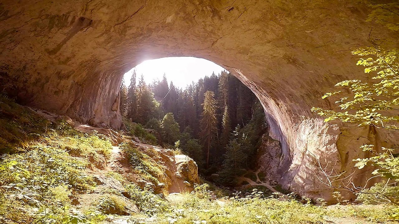
The two niches with the visor Nochevo Dvete nishi s kozirkata (The two niches with the visor) - Nochevo.
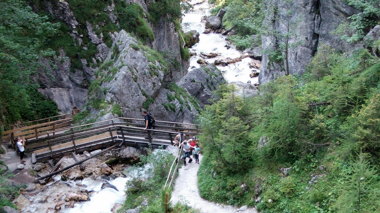
Silberkar Gorge Ramsau am Dachstein One of the most beautiful hiking spots in the area of Ramsau am Dachstein, is the Silberkarklamm (Silberkar Gorge). It is possible to drive to the entrance of the gorge, there is parking available on the side of the road, and you have to pay an entrance fee.
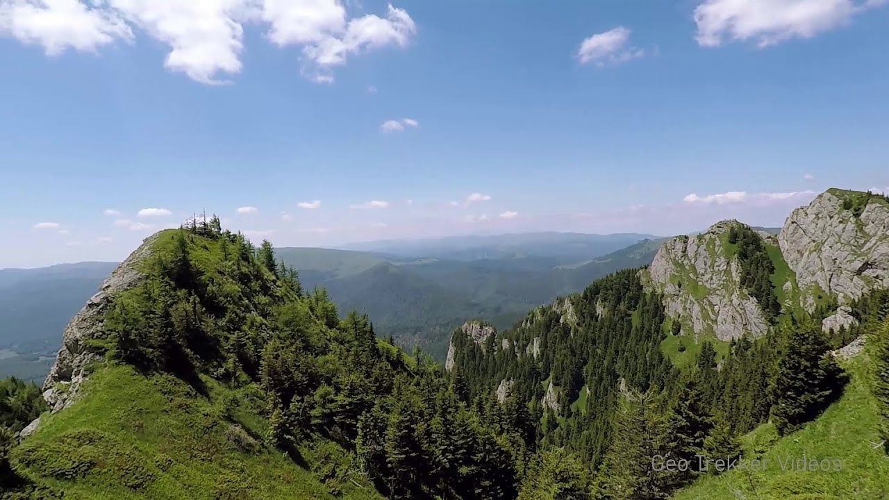
Searching for rhododendrons Ciucas Boulevard 106.4 km away. Red Mountain (Muntele Rosu), Gropsoarele-Zaganu ridge - Ciucas Mountains

Winds iron path Baia de Fier 214.7 km away. The Wind's iron path (Via ferrata Vanturilor, D) is the via ferrata route number 11 in the Baia de Fier - Polovragi area. The sign at the base of the route was installed on February 9, 2020.

Hias via ferrata Silberkarklamm, Ramsau am Dachstein The Hias via ferrata in the Silberkar Gorge (Silberkarklamm) is the first of the three via ferrata routes, and perhaps the easiest to complete. Two cable bridges and a few trickier sections make it interesting, but it is truly impressive due to the view of the narrow gorge.
Amazing Bridges Zabardo The Amazing Bridges (Chudni Mostove, Wonderful Bridges) are natural stone bridges. They are located in the Rhodope Mountains, in the Smolyan Province of Bulgaria, within the valley of the Erkyupriya River, at an altitude of 1,450 meters above sea level.
Tesárska Gorge Tesárska gorge (Tesárska roklina) - Hontianske Tesáre.
[ Top ↑ ]
Copyright © 2003-2026 Trekkingklub and friends. Reproduction of any text, picture or video from this website, either in printed or electronic form, is prohibited without prior written permission. Website made with love  in Miercurea Ciuc.