Tourist attractions near Jigodin-Bai (Miercurea Ciuc, Harghita county, Romania)
Photos of nearby places

Ruins of the Harom fortress - Jigodin Bath (10 photos) 3.2 km away. The Harom Fortress was built around the beginning of the 12th century and was part of the system of fortifications that protected Transylvania from the east. It is located south of Miercurea Ciuc, east of Harom Peak, which has an altitude of 1079 m, near the southwestern limits of Jigodin Bath (Baile Jigodin).


Harghita Bath - Harghita Mountains (15 photos) 14.1 km away. Harghita Bath (Harghita-Bai) - Harghita Mountains.


[ Top ↑ ]
Videos of nearby places


Nobodys lake - Miercurea Ciuc 3.9 km away. The passage of time (time lapse), dusk at Nobody's Lake. Miercurea Ciuc and the Sumuleu mountain can be seen in the background.

Walking to the top of Sumuleul Mare - Sumuleu Ciuc 4.1 km away. This was my first attempt at shooting a video.


Kossuth Rock - Harghita Bath 12.5 km away. Kossuth Rock - Harghita Bath (Harghita-Bai), Harghita Mountains.
Other places
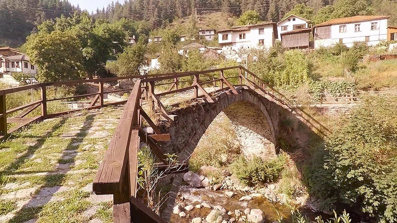
Shiroka Laka village Smolyan Shiroka Laka is one of the most beautiful villages in Bulgaria. It is located in the Rhodope Mountains, in the Smolyan province, in the southern part of the country.
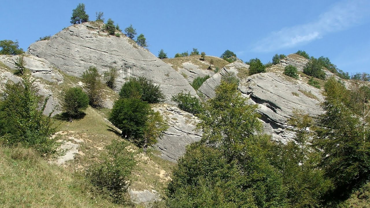
The Stone Path Nochevo 498.6 km away. Kamennata pateka (The Stone Path) - Nochevo.
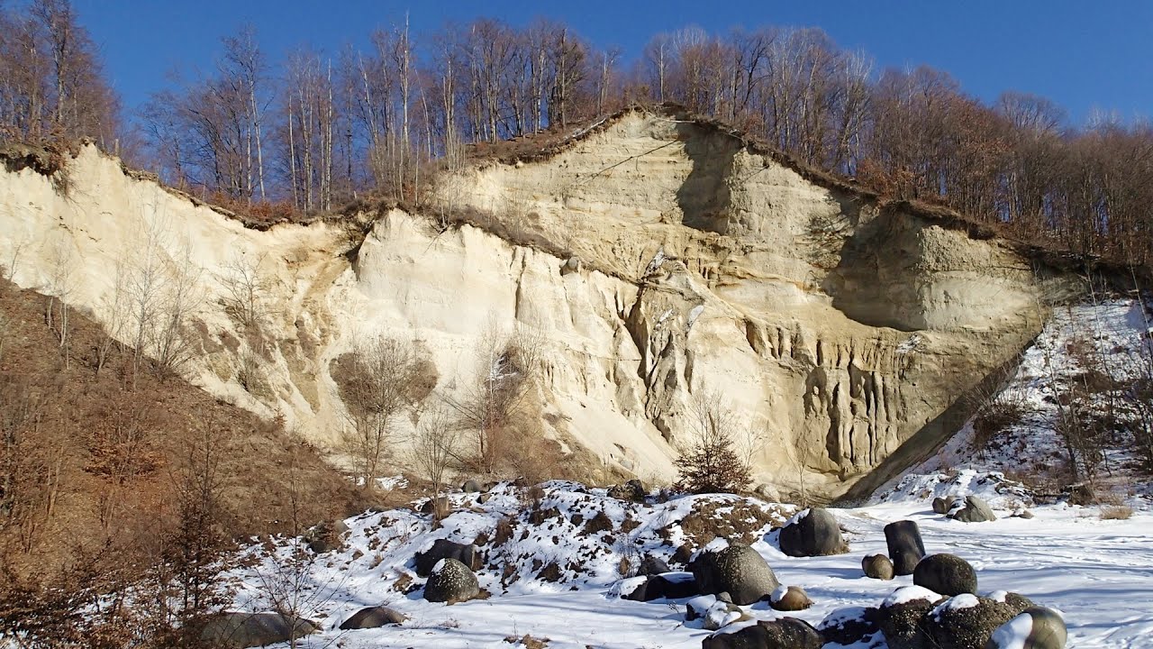
Doabra Stones Brezoi, Lotru Mountains 163.4 km away. The DN7A road branches off west from the Olt Valley, from the main road between Sibiu and Ramnicu Valcea, leading towards Voineasa and Lake Vidra. The first settlement is a small town, Brezoi, which is located at the confluence of the Lotru and Olt rivers.

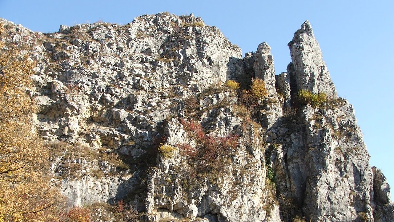
Crivadia Gorge 223.7 km away. The Crivadia Gorge is located next to the village of Crivadia, which belongs to Banita. Access is difficult, and the hike is made through the streambed, with water up to the waist at its narrowest point.

Via Ferrata Fairy Castle Vadu Crisului 261.1 km away. Via Ferrata Fairy Castle (Castelul Zanelor, Casa Zmeului, The House of the Dragon) - Vadu Crisului. South of Vadu Crisului, in the Padurea Craiului Mountains, lies the Vadu Crisului Gorge, a section of the Crisul Repede river that narrows between rocky walls.

Winds iron path Baia de Fier 204.2 km away. The Wind's iron path (Via ferrata Vanturilor, D) is the via ferrata route number 11 in the Baia de Fier - Polovragi area. The sign at the base of the route was installed on February 9, 2020.
[ Top ↑ ]
Copyright © 2003-2026 Trekkingklub and friends. Reproduction of any text, picture or video from this website, either in printed or electronic form, is prohibited without prior written permission. Website made with love  in Miercurea Ciuc.