Tourist attractions near Traian (Doba, Satu Mare county, Romania)
Photos of nearby places

Dragons Garden - Galgau Almasului (20 photos) 78.1 km away. The natural reservation site Dragon's Garden (Gradina Zmeilor, Sárkányok kertje) from Galgaul Almasului is located in Salaj County, in the Western Carpathians. This natural playground is made up of interesting and unusual sandstone formations, an ensemble of 10-12 m high towers with strange figures cut in sandstone by the wind and water erosion.


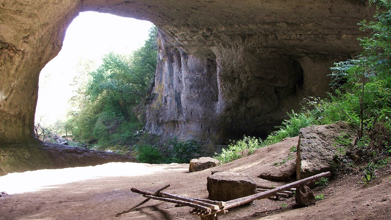
Cave of Winds - Padurea Craiului Mountains (24 photos) 92.9 km away. The Cave of Winds (Pestera Vantului) is located in the Padurea Craiului Mountains, not far from Frantura meadow, near Suncuius, on the left geographical side of the Crisul Repede River. The Cave of Winds was discovered in 1957 by Béla Bagaméri and is currently (as of 2003) the longest cave system known in Romania as well as in the Carpathian Basin.


Napistileu cave - Padurea Craiului (10 photos) 93.5 km away. Napistileu (Ungurul Mic) cave - Padurea Craiului Mountains.

The cave from the spring - Padurea Craiului Mountains (8 photos) 93.5 km away. Pestera de la Izvor (The cave from the spring) - Padurea Craiului Mountains.


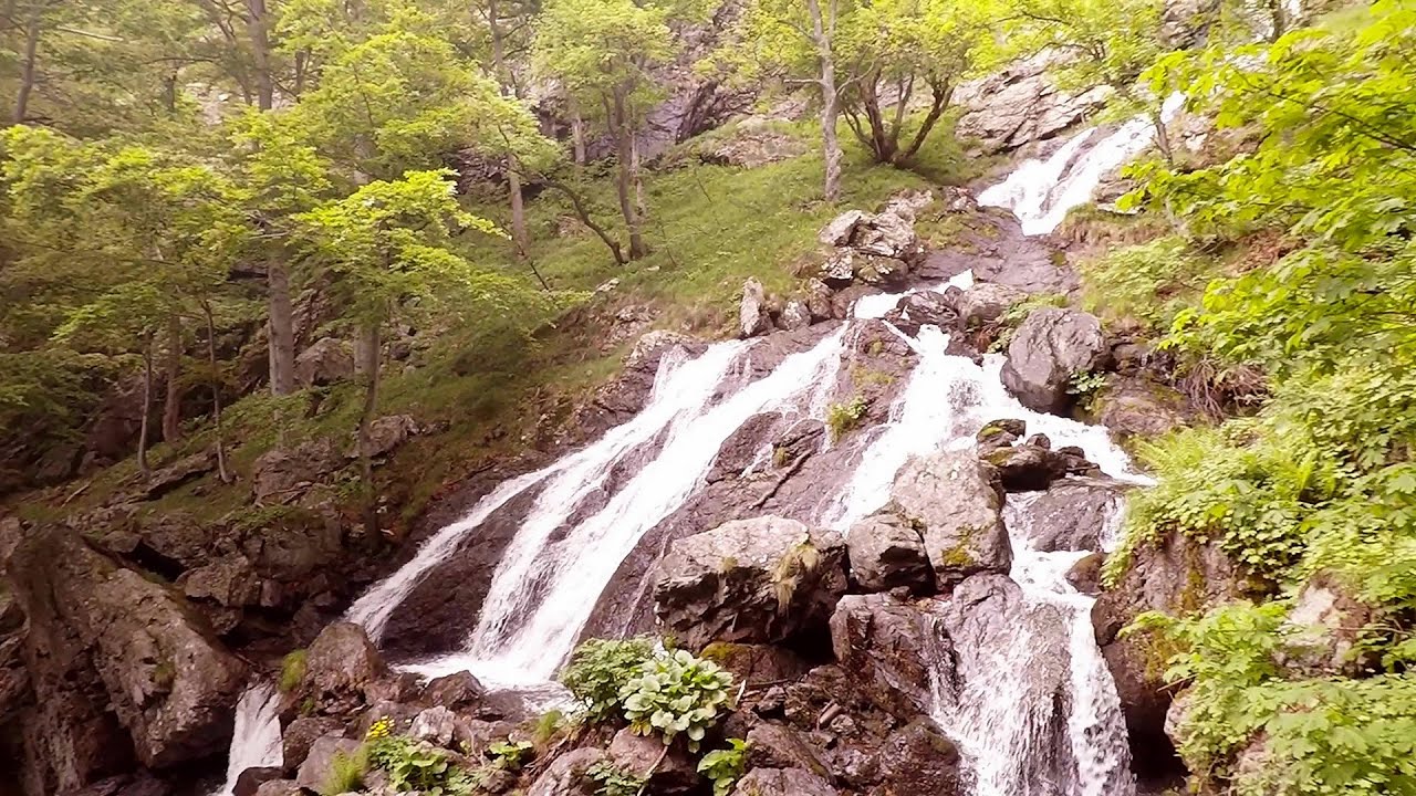
Oxen Waterfall - Padurea Craiului Mountains (12 photos) 96.2 km away. Oxen Waterfall (Cascada Boilor) - Padurea Craiului Mountains.

Moanei Cave - Padurea Craiului Mountains (58 photos) 97.4 km away. The Moanei Cave (Pestera Moanei) is located on the upper course of the Misid River, on the right side of the Misid Gorge (Cheilor Misidului). The cave has two entrances, one fossil and sloped, while a subterranean stream flows through the active gallery.
[ Top ↑ ]
Videos of nearby places


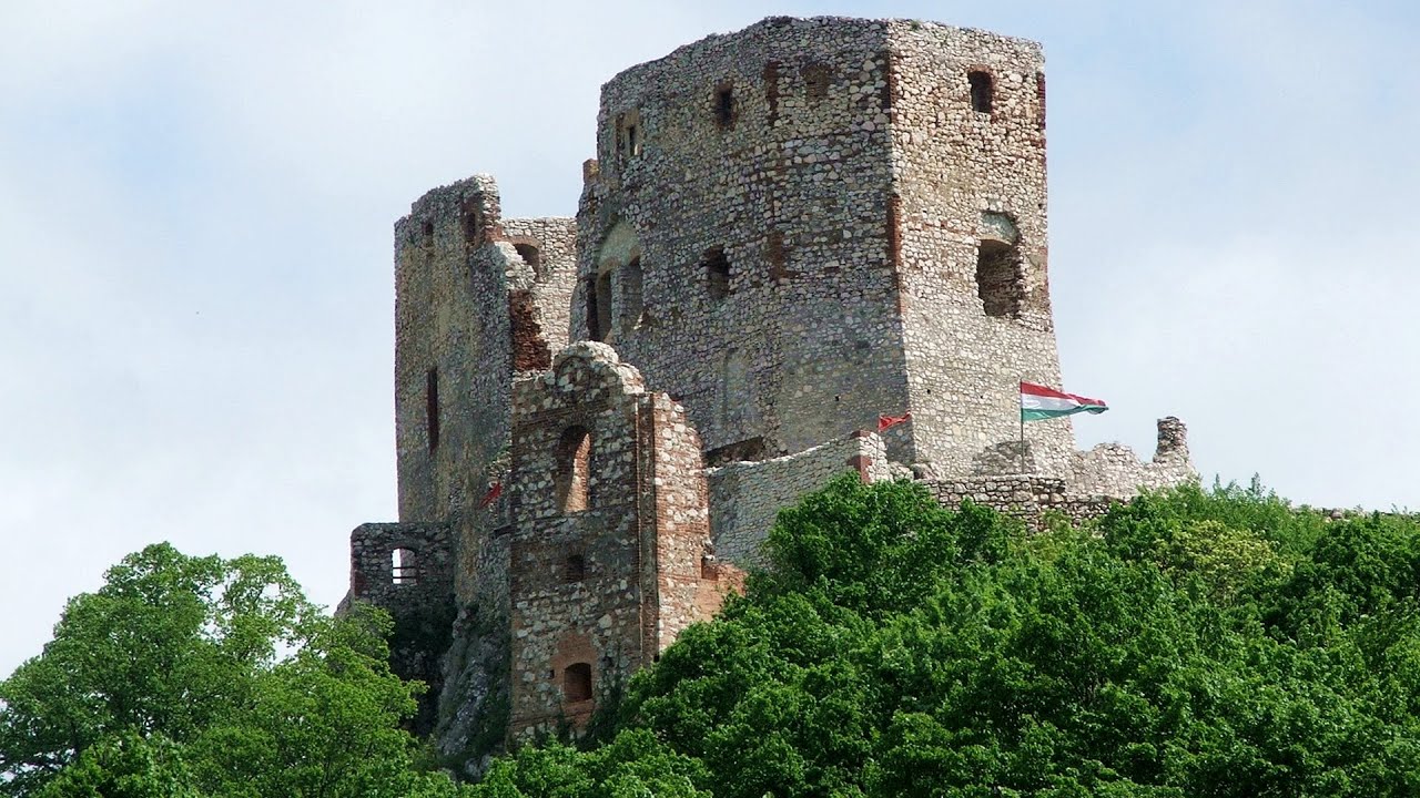
Via Ferrata Fairy Castle - Vadu Crisului 89.7 km away. Via Ferrata Fairy Castle (Castelul Zanelor, Casa Zmeului, The House of the Dragon) - Vadu Crisului. South of Vadu Crisului, in the Padurea Craiului Mountains, lies the Vadu Crisului Gorge, a section of the Crisul Repede river that narrows between rocky walls.

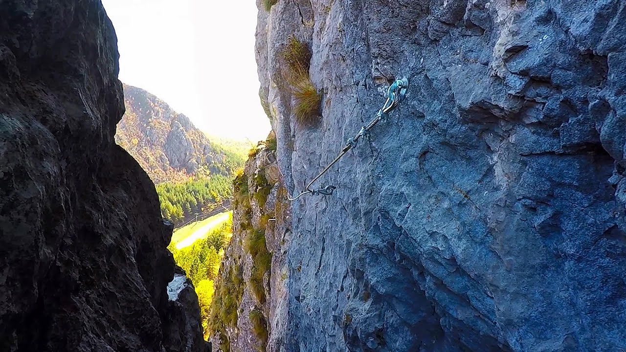
Fairy Cliff via ferrata route - Vadu Crisului 89.8 km away. Fairy Cliff (Peretele Zanelor) via ferrata route - Vadu Crisului. In Vadu Crisului, in the Padurea Craiului Mountains, on the right bank of the Crisul Repede, you can find the newest, in chronological order (2015) the fifth Transylvanian, new type of via ferrata route.

Vadu Crisului cave 90.8 km away. The Vadu Crisului Cave, with a total length of over 1000 meters, is located in the picturesque gorge of Crisul Repede creek. It consists of a gently meandering, long passage that features an active, stream level next to an upper, fossil level in its first section.

Other places
Durdevica via ferrata and the canyon of the Ibar river Ribarice Difficulty level C/D (D/E), total length: 700 m, height difference: 200 m, year of construction: 2024. For experienced climbers with their own equipment, the registration fee is 5 euros per person.
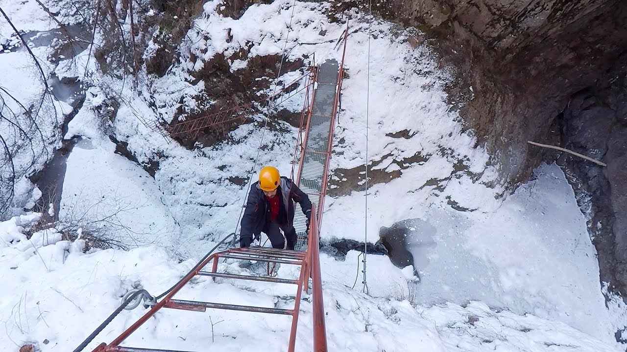
Stan Valley Canyon in winter 304.4 km away. The Stan Valley is a picturesque canyon, even in winter. In fact, when the stream is frozen and covered with a layer of snow, exploring the canyon becomes much quicker and easier.
Gods bridge Vratsa 499.6 km away. Anyone who has been to Bulgaria may be familiar with the Prohodna Cave, affectionately known as the Eyes of God; the Devetashka Cave, illuminated by seven windows in its ceiling. And perhaps they have also seen the Wonderful Bridges in the Rhodope Mountains.
Middle Belt via ferrata route Baia de Fier 297.7 km away. Middle Belt (Spirala Medie) via ferrata route - Baia de Fier. In May 2018, two new via ferrata routes were inaugurated in Baia de Fier.
Castle panorama route, Zoltán Tálos memorial route, Besiegers route Csesznek 364.4 km away. Castle panorama route (D), Zoltán Tálos memorial route (E), Besieger's route (C), Kőmosó-ravine, Csesznek, Veszprém county, Hungary. The via ferratas in Csesznek are suitable for both getting acquainted with climbing, and assessing our capabilities.
Babsko Praskalo waterfall Tazha In the Central Balkans National Park, there are many rivers that cascade down spectacular waterfalls, which the locals call praskalo. One of the smallest waterfalls in the area is Babsko Praskalo, which stands at only 54 meters high.

Seven Ladder Canyon and Waterfall Piatra Mare Mountain 332.4 km away. The Seven Ladder Gorge is the largest and most spectacular gorge in the Piatra Mare massif. The narrow canyon has a length of 160 meters, and over a drop of 58 meters includes 7 bigger and several smaller waterfalls.
[ Top ↑ ]
Copyright © 2003-2026 Trekkingklub and friends. Reproduction of any text, picture or video from this website, either in printed or electronic form, is prohibited without prior written permission. Website made with love  in Miercurea Ciuc.