Durau - Piatra Lata - Panaghia - Dochia - photos
Ceahlau Mountains
Copyright © 2005 - 2025 Trekkingklub.com.
Already published 8190 photos and 136 videos. Please register for full access.
Photos of nearby places
[ Top ↑ ]
Videos of nearby places
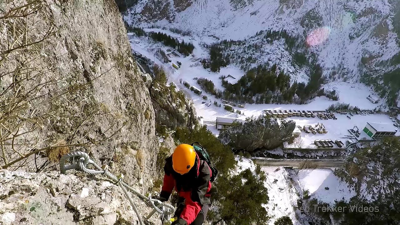
Astragalus iron path in winter - Glod Stone, Munticelu 18.58 km away
The official website of the Sugau Gorges published information about a new via ferrata climbing route named Astragalus. Sugau Gorges - Munticelu is a nature conservation area part of Natura 2000 located in Neamt County, which borders Harghita County.
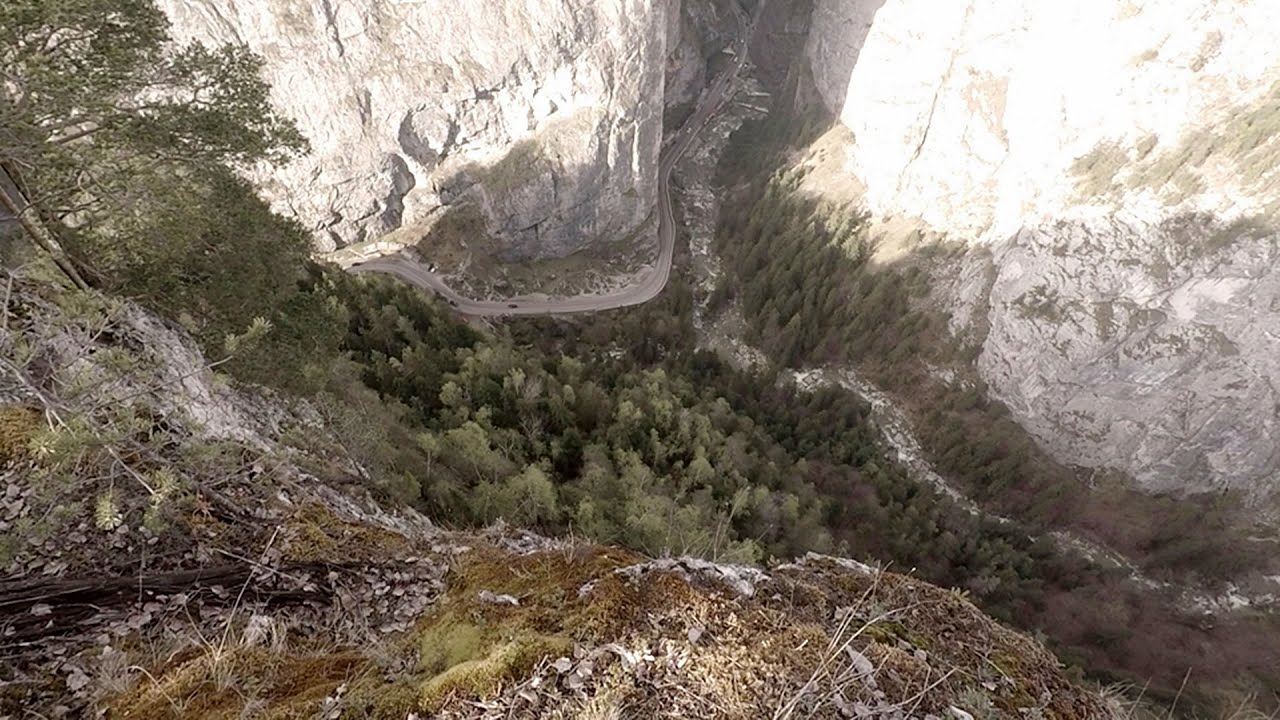
Poienii Rock, north-eastern lookout point - Bicaz Gorges 21.18 km away
From the viewpoint at the top of the northeastern wall of Poienii Rock in the Bicaz Gorges, we can look down 300 meters to the mouth of the Bicajel stream. The Bridge of the Hungarians is hidden among pine trees.
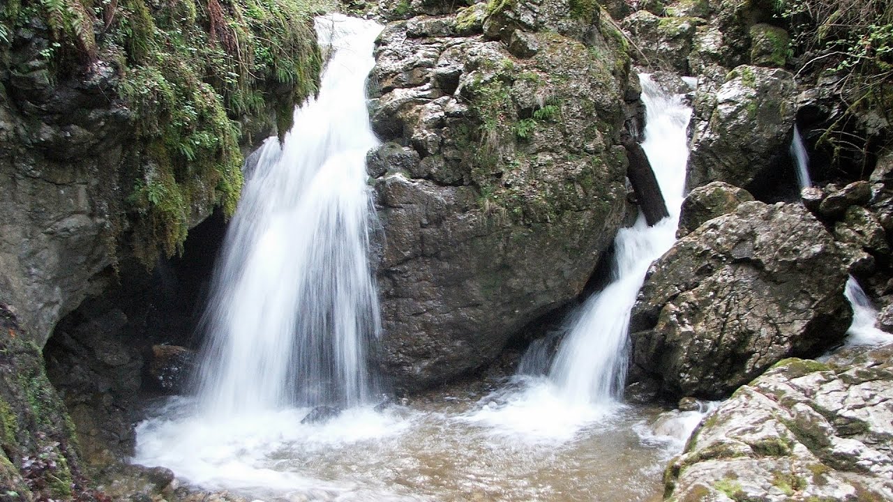
Waterfalls of Lapos creek - Bicaz Gorges 21.34 km away
One of the lesser-known attractions of the Bicaz Gorges is the series of waterfalls along Lapos Creek. This creek flows between Cupas Stone and Bardos Stone before eventually merging with Bicaz Creek, forming spectacular waterfalls beneath the Altar Stone.
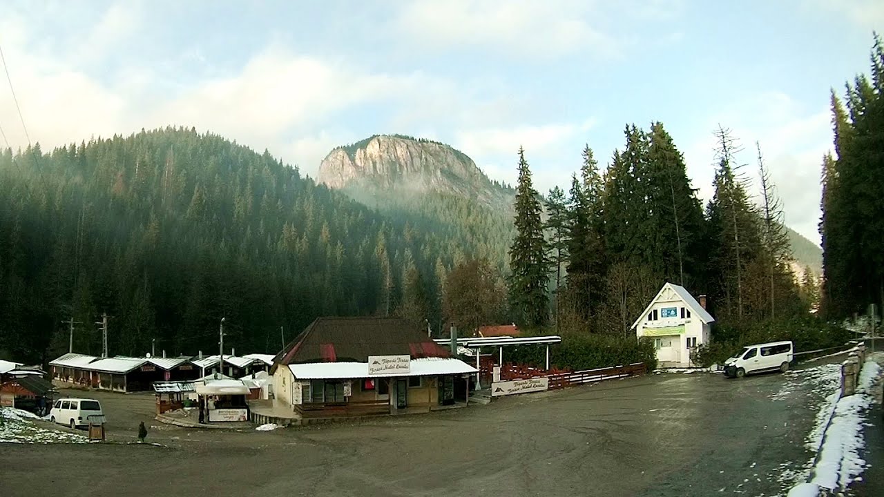
Wild Ferenc memorial path - Suhardul Mic 23.36 km away
In recent days, this news has been everywhere: the via ferrata route built on the southwest wall of Suhardul Mic (Little Suhard) has finally been completed and inaugurated. The new route has been named after Ferenc Wild, in memory of the former mountain rescuer, sports writer, and one of the founders of the mountain rescue association in Gheorgheni.
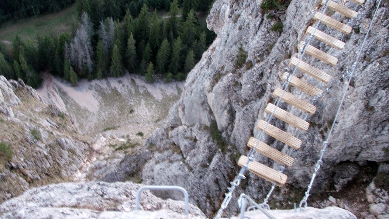
Wild Ferenc iron path - Suhardul Mic 23.39 km away
While I climbed the new iron path mostly in the dark for the first time, this time I managed to explore it during the day. But I still missed the sunset by a few minutes.
Other places
The Devil's Iron Path Aussois, Savoy, Rhône Alps 1490.59 km away
The Devil's Iron Path (Via ferrata du Diable) is a multi-part via ferrata, located above a spectacular waterfall (Cascade du Nant), in a gorge, below the Victor-Emmanuel fort. For me, this climbing route presented the greatest challenge so far (2015).
The Devil's Iron Path (Via ferrata du Diable) is a multi-part via ferrata, located above a spectacular waterfall (Cascade du Nant), in a gorge, below the Victor-Emmanuel fort. For me, this climbing route presented the greatest challenge so far (2015).
Rosina via ferrata Silberkar Gorge, Ramsau am Dachstein 924.71 km away
The Rosina via ferrata is the most difficult via ferrata in the Silberkar Gorge (Silberkarklamm), has a D difficulty rating, and it is a vertical masterpiece. After a short suspension bridge above the stream, it leads up the rock wall next to the gorge waterfall, all the way vertically.
The Rosina via ferrata is the most difficult via ferrata in the Silberkar Gorge (Silberkarklamm), has a D difficulty rating, and it is a vertical masterpiece. After a short suspension bridge above the stream, it leads up the rock wall next to the gorge waterfall, all the way vertically.
Handeckfallbrücke, Gelmerbahn, Gelmersee Schweiz 1339.79 km away
Although the path from the Gelmerbahn parking bypasses the Handeckfall waterfall, it is worth descending a few steps from the valley station of the funicular, to reach Handeckfallbrücke. A 70-meter long suspension bridge that hangs 70 meters above the gorge, offering a spectacular view of the waterfall.
Although the path from the Gelmerbahn parking bypasses the Handeckfall waterfall, it is worth descending a few steps from the valley station of the funicular, to reach Handeckfallbrücke. A 70-meter long suspension bridge that hangs 70 meters above the gorge, offering a spectacular view of the waterfall.
Cherven, a medieval fortified town Bulgaria 373.13 km away
Located about 30 km south of the city of Ruse in Bulgaria, the Cherven medieval fortress can be found in the Rusenski Lom Nature Park. Originally a Byzantine fortification from the 6th century, it reached the height of its development in the 14th century.
Located about 30 km south of the city of Ruse in Bulgaria, the Cherven medieval fortress can be found in the Rusenski Lom Nature Park. Originally a Byzantine fortification from the 6th century, it reached the height of its development in the 14th century.
Sky Walk, Suspension Bridge, Stairway to Nothingness Styria, Dachstein 931.47 km away
The Dachstein cable car (Gletscherbahn Panorama Gondel, Panorama Cable Car) took me up to a height of 2700 meters, to the highest mountain in Styria (Steiermark), the Dachstein. Next to the upper station of the cable car there are several tourist attractions.
The Dachstein cable car (Gletscherbahn Panorama Gondel, Panorama Cable Car) took me up to a height of 2700 meters, to the highest mountain in Styria (Steiermark), the Dachstein. Next to the upper station of the cable car there are several tourist attractions.
[ Top ↑ ]
[ Top ↑ ]
Copyright © 2003-2025 Trekkingklub and friends. Reproduction of any text, picture or video from this website, either in printed or electronic form, is prohibited without prior written permission. Nearby settlements: Secu 6.08 km away, Tourist attractions near Ceahlau 7.02 km away. The given distances are to be understood as straight line distances, and are approximate. Website made in Miercurea Ciuc  .
.
 .
.


