Ruins of the Harom fortress - Jigodin Bath - photos
The Harom Fortress was built around the beginning of the 12th century and was part of the system of fortifications that protected Transylvania from the east. It is located south of Miercurea Ciuc, east of Harom Peak, which has an altitude of 1079 m, near the southwestern limits of Jigodin Bath (Baile Jigodin).
Read more
Copyright © 2007 - 2025 Trekkingklub.com.
Already published 8174 photos and 136 videos. Please register for full access.
Photos of nearby places
[ Top ↑ ]
Videos of nearby places

Nobody's lake - Miercurea Ciuc 4.45 km away
The passage of time (time lapse), dusk at Nobody's Lake. Miercurea Ciuc and the Sumuleu mountain can be seen in the background.

Walking to the top of Sumuleul Mare - Sumuleu Ciuc 7.23 km away
This was my first attempt at shooting a video.

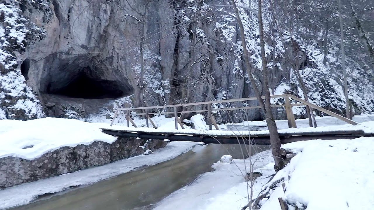
Varghis gorges in winter 21.56 km away
I went out to admire the ice stalagmites (standing icicles) in the Varghis Gorge. Anyone arriving here at the end of winter can observe meter-high ice stalagmites in the entrance area of Meresti Cave (now known as Orban Balazs Cave).

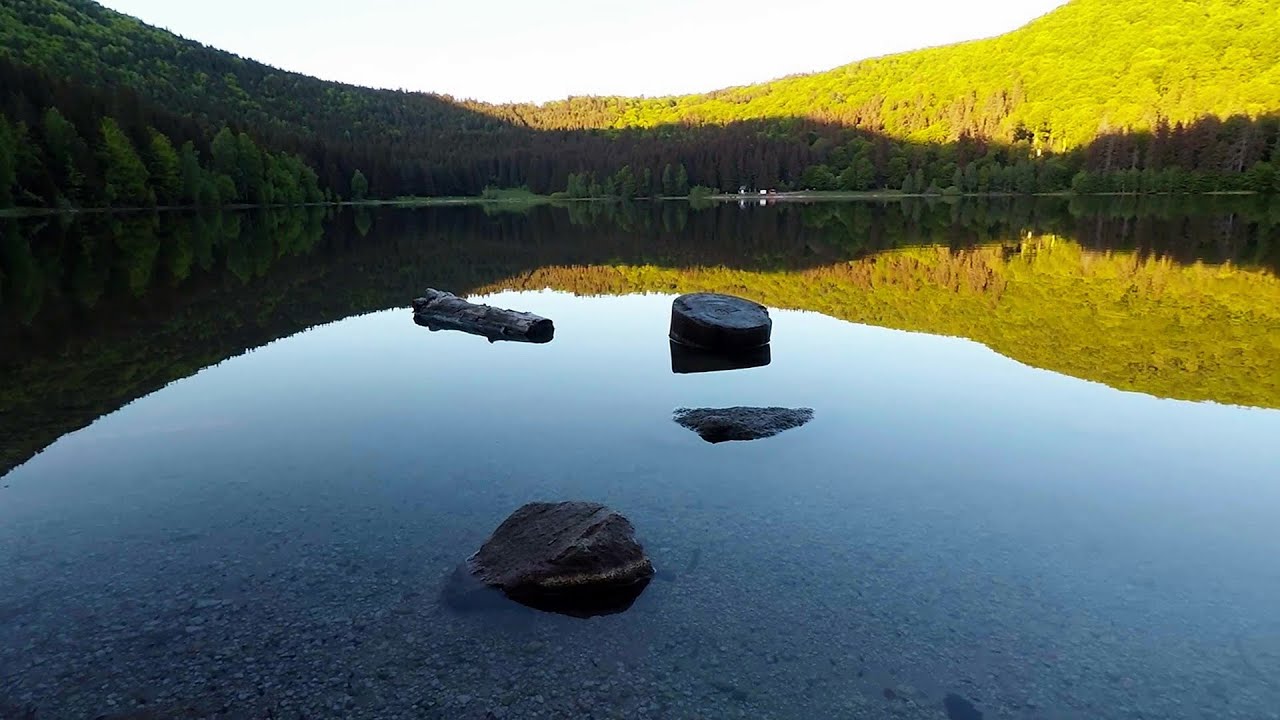
Saint Anne lake - Ciomat-Puturosu 22.6 km away
Lake Saint Anna is the only well-preserved volcanic crater lake in Eastern Europe. Here are some images from an afternoon outing.
Other places
Five Fingers, World NATURE Heritage Lookout, World Heritage Spiral, Dachstein Shark 927.25 km away
The second station of the cable car departing from Obertraun is the Krippenstein peak (2100 m). Here you can find the famous Five Fingers (5fingers) lookout, which offers a unique view of Hallstatt and Obertraun below, as well as the Hallstättersee lake.
The second station of the cable car departing from Obertraun is the Krippenstein peak (2100 m). Here you can find the famous Five Fingers (5fingers) lookout, which offers a unique view of Hallstatt and Obertraun below, as well as the Hallstättersee lake.
Small Via ferrata Rasnoavei Gorges 88.21 km away
In the past few days, it has snowed, so I climbed the two climbing routes in the Rasnoavei Gorge under winter conditions. While the lower part of the challenging Big via ferrata was dry, the upper section had patches of snow and icicles.
In the past few days, it has snowed, so I climbed the two climbing routes in the Rasnoavei Gorge under winter conditions. While the lower part of the challenging Big via ferrata was dry, the upper section had patches of snow and icicles.
Muierii Cave (Pestera Muierilor) Baia de Fier 201.24 km away
We visited the Baia de Fier area, and climbed on the rock that also conceals the Women's Cave (Pestera Muierilor). Between two via ferrata routes, we also participated in one of the guided cave tours, which depart every hour.
We visited the Baia de Fier area, and climbed on the rock that also conceals the Women's Cave (Pestera Muierilor). Between two via ferrata routes, we also participated in one of the guided cave tours, which depart every hour.
Siklós castle 579.8 km away
The Siklós Castle is an important historical landmark in Hungary, its fortress walls were laid around 1260, with the first written record dating back to 1294. The fortification, built on a low elevation, features an inner tower, an irregular floor plan, and consists of both an outer and an inner fortress.
The Siklós Castle is an important historical landmark in Hungary, its fortress walls were laid around 1260, with the first written record dating back to 1294. The fortification, built on a low elevation, features an inner tower, an irregular floor plan, and consists of both an outer and an inner fortress.
[ Top ↑ ]
[ Top ↑ ]
Copyright © 2003-2025 Trekkingklub and friends. Reproduction of any text, picture or video from this website, either in printed or electronic form, is prohibited without prior written permission. Nearby settlements: Jigodin-Bai 3.17 km away, Tourist attractions Sancraieni 4.76 km away. The given distances are to be understood as straight line distances, and are approximate. Website made in Miercurea Ciuc  .
.
 .
.


