Ruins of the Harom fortress - Jigodin Bath - photos
Page no. 1, photos: 1-10, 10 photos in total.
The Harom Fortress was built around the beginning of the 12th century and was part of the system of fortifications that protected Transylvania from the east. It is located south of Miercurea Ciuc, east of Harom Peak, which has an altitude of 1079 m, near the southwestern limits of Jigodin Bath (Baile Jigodin).
Read more
Copyright © 2007 - 2025 Trekkingklub.com.
Already published 8925 photos and 149 videos. Please register for full access.
Photos of nearby places
[ Top ↑ ]
Videos of nearby places

Nobody's lake - Miercurea Ciuc 4.45 km away
The passage of time (time lapse), dusk at Nobody's Lake. Miercurea Ciuc and the Sumuleu mountain can be seen in the background.

Walking to the top of Sumuleul Mare - Sumuleu Ciuc 7.23 km away
This was my first attempt at shooting a video.

Varghis gorges in winter 21.56 km away
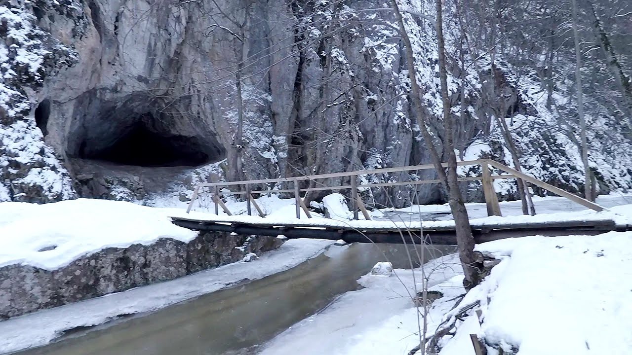
I went out to admire the ice stalagmites (standing icicles) in the Varghis Gorge. Anyone arriving here at the end of winter can observe meter-high ice stalagmites in the entrance area of Meresti Cave (now known as Orban Balazs Cave).

Saint Anne lake - Ciomat-Puturosu 22.6 km away
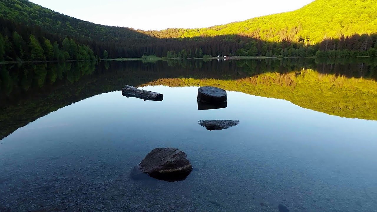
Lake Saint Anna is the only well-preserved volcanic crater lake in Eastern Europe. Here are some images from an afternoon outing.
Other places
Roman Baths (Baile Romane) Cetea, Trascau Mountains 171.73 km away
Among the valleys of the Trascau Mountains, the Cetea Gorge best deserves the name of a crevice valley. Here, the waters of the Cetea Stream cut through the Mariuta limestone cliff, flowing through a narrow crevice that is only about 1-2 meters wide.
Among the valleys of the Trascau Mountains, the Cetea Gorge best deserves the name of a crevice valley. Here, the waters of the Cetea Stream cut through the Mariuta limestone cliff, flowing through a narrow crevice that is only about 1-2 meters wide.
Hot Air Balloon Parade 2018 Campu Cetatii 71.51 km away
This year, the hot air balloons flew low over Campu Cetatii. The weather did not really favor the parade.
This year, the hot air balloons flew low over Campu Cetatii. The weather did not really favor the parade.
Ski resort Poiana Brasov Postavarul Mountains 84.77 km away
Shining sun and an Austria-feeling on the impeccable slopes of the ski paradise Poiana Brasov above Brasov. Sunbathing, coffee and refreshing drinks on the terrace of Julius Römer chalet.
Shining sun and an Austria-feeling on the impeccable slopes of the ski paradise Poiana Brasov above Brasov. Sunbathing, coffee and refreshing drinks on the terrace of Julius Römer chalet.
Poenari citadel Arges valley 139.39 km away
The Poenari citadel is located on the southern slope of the Fagaras Mountains, on the western side of the Transfagaras road, in the Arges Valley, about 4 km from the Vidraru Lake dam. Along a steep incline, a concrete staircase leads up to the castle, which is built atop a mountain.
The Poenari citadel is located on the southern slope of the Fagaras Mountains, on the western side of the Transfagaras road, in the Arges Valley, about 4 km from the Vidraru Lake dam. Along a steep incline, a concrete staircase leads up to the castle, which is built atop a mountain.
Black Rocks iron path Bihor Mountains 242.84 km away
Black Rocks is located in the Bihor Mountains, near the Vartop Saddle, to the west of it. It is interesting that the locals (if I understood correctly) do not know this name, but use the name Piatra Buna (meaning Good Stone) for this spectacular rock.
Black Rocks is located in the Bihor Mountains, near the Vartop Saddle, to the west of it. It is interesting that the locals (if I understood correctly) do not know this name, but use the name Piatra Buna (meaning Good Stone) for this spectacular rock.
[ Top ↑ ]
[ Top ↑ ]
Copyright © 2003-2025 Trekkingklub and friends. Reproduction of any text, picture or video from this website, either in printed or electronic form, is prohibited without prior written permission.
Nearby settlements: Jigodin-Bai 3.17 km away, Tourist attractions near Sancraieni 4.76 km away. The given distances are to be understood as straight line distances, and are approximate. Website made in Miercurea Ciuc  .
.
 .
.


