Buffogó swamp - Baile Balvanyos - photos

64068034800
64068054801
64068074802
64068104803
64068114804
64068174805
64068224806
64068234807
Page no. 1, photos: 1-8, 11 photos in total. >>>

[ Hu ] - [ Ro ] - Hiking - Baile Tusnad
22nd July 2007. Copyright © 2007 - 2024 Trekkingklub.com.
Already published 8077 photos and 65 videos. Please register for full access.

Photos of nearby places

Budos hegy
Budos hegy (15th April 2004 - 8 photos) 0.92 km away
Puturosu (Stinking) Mountain
Healing springs - Jombor creek baths
Healing springs - Jombor creek baths (22nd June 2009 - 15 photos) 1.78 km away
Balvanyos fortress - Baile Balvanyos
Balvanyos fortress - Baile Balvanyos (22nd July 2007 - 12 photos) 1.92 km away
Balvanyos Bath
Balvanyos Bath (3rd March 2004 - 11 photos) 2.44 km away
Piatra Zimbrului (Bison Stone)
Piatra Zimbrului (Bison Stone) (7th May 2008 - 20 photos) 3.72 km away
Mohos peat bog
Mohos peat bog (10th May 2004 - 4 photos) 4.08 km away
Saint Ann lake
Saint Ann lake (19th March 2006 - 22 photos) 4.92 km away
[ Top ↑ ]

Videos of nearby places
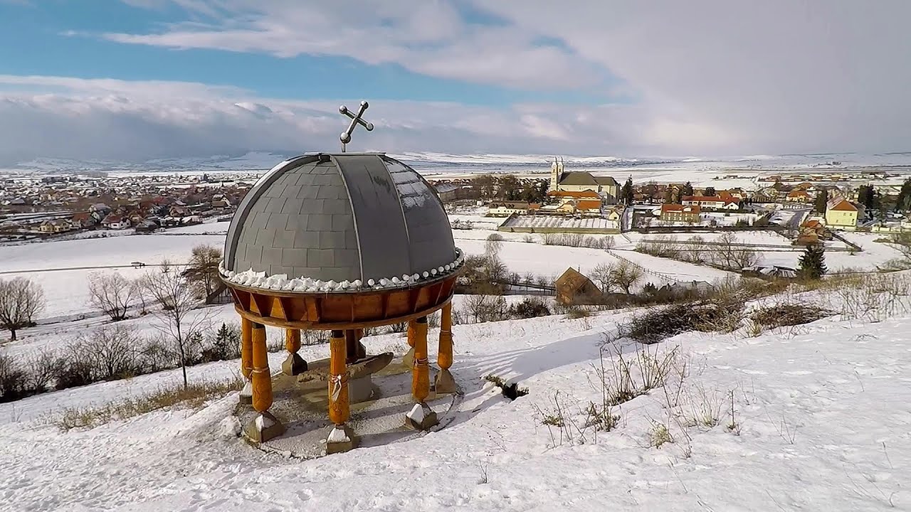
Preacher's Rock - Bodoc Mountains 13.19 km away
In the Bodoc Mountains, west-southwest from the Henter peak, we find a rock formation shaped like a mushroom by erosion, called Preacher's Rock. This 2-meter high rock probably got its name from the pagan Hungarian priests, who preached here in the past.
Walking to the top of Sumuleul Mare - Sumuleu Ciuc 28.11 km away
This was my first attempt at shooting a video.
Nobody's lake - Miercurea Ciuc 28.97 km away
The passage of time (time lapse), dusk at Nobody's Lake. Miercurea Ciuc and the Sumuleu mountain can be seen in the background.
Ski Gyimes ski slope - Lunca de Sus 43.68 km away
The Ski Gyimes ski slope is located in Lunca de Sus, right next to the main road. It is 800 m long, the level difference is 160 m. There are two lifts that takes you up to an altitude of 1060 meters above sea level.
Iron path - Harghita-Madaras 47.1 km away
Amateur filming in Harghita-Madaras, holding the camera by hand in the car, and helmet-mounted on the via ferrata. I climbed an iron path for the first time in my life on the Nyerges cliffs (Stancile Seii), I didn't have the right equipment yet. That's where I fell in love with climbing.

Other videos

Crivadia Gorges 225.08 km away
The Crivadia Gorge is located next to the village of Crivadia, which belongs to Banita. Access is difficult, and the hike is made through the streambed, with water up to the waist at its narrowest point.
Gelmerbahn Guttannen, Schweiz 1351.75 km away
The Gelmerbahn in Switzerland is the steepest open funicular in Europe. It transports tourists from an altitude of 1412 meters to over 1860 meters above sea level, as well as to the Gelmer lake located at 1849 meters.
Trift valley, bridge, lake and glacier Gadmen, Switzerland 1347.4 km away
During the hike in Trift Valley, I experienced cloudy and gloomy weather with intermittent rain. Here is the 170 m long Trift Bridge, the longest pedestrian suspension bridge in the Swiss Alps, in a breathtaking environment, 100 meters above the Trift Glacier Lake.
Via ferrata Ernesto Che Guevara Italia 1155.95 km away
The Che Guevara via ferrata is the longest iron climbing route I have ever climbed. There is a 1400 m level difference from the starting point to the peak of Monte Casale.
Aareschlucht Meiringen-Innertkirchen, Switzerland 1358.01 km away
The Aareschlucht is a 1400-meter long, 200-meter deep gorge of the Aare river, near Innertkirchen, Switzerland. It has two entrances, one from Meiringen in the west, and one from Innertkirchen in the east, which lead into the narrow, but stunning gorge.
L'Escale á Peille iron path Alpes-Maritimes, France 1478.24 km away
One of the challenging via ferratas in the Maritime Alps is the L'Escale a Peille. One of its elements is a steel cobweb, where you can feel like you're hanging in the air.
Iron path Harghita-Madaras 47.1 km away
Amateur filming in Harghita-Madaras, holding the camera by hand in the car, and helmet-mounted on the via ferrata. I climbed an iron path for the first time in my life on the Nyerges cliffs (Stancile Seii), I didn't have the right equipment yet. That's where I fell in love with climbing.
Vadu Crisului cave 278.88 km away
The Vadu Crisului Cave, with a total length of over 1000 meters, is located in the picturesque gorge of Crisul Repede creek. It consists of a gently meandering, long passage that features an active, stream level next to an upper, fossil level in its first section.
Banita Gorges and Banita rock bridge 218.06 km away
They say about this place that only very few people know about it, but that's not true. In fact, most nature lovers have heard of it, seen pictures taken here, even if not everyone has been able to come here. Since it has been talked about everywhere, and it has been advertised, I have also been planning to come here for years.
Via ferrata Rio Sallagoni Italia 1157.24 km away
The surrounding iron climbing routes are located on rock walls exposed to a scorching sun. But the Rio Sallagoni via ferrata goes upwards in a pleasantly cool gorge, above the creek and waterfalls, and eventually reaches the Drena Castle.
With snowshoes in the Tihu creek valley Rastolita 125.15 km away
We met geotrekking treasure hunters from Gheorgheni, Miercurea Ciuc and Targu Mures in Rastolita. We entered the Calimani Mountains with an off-road vehicle, along the Rastolita and Tihu streams. As it turned out, the well-worn forest road can also be traveled by car for a good distance.
Via Ferrata Centenario C.A.O Monte Grona Italia 1288.35 km away
In the magnificent rocky world of Monte Grona, the Centenario via ferrata leads upwards, which I had the opportunity to climb accompanied by lizards.
Rudariei watermills Eftimie Murgu 331.11 km away
I have visited the twenty-two wooden water mills with horizontal wheels, located in the valley of the Rudaria stream, mostly in the rain and under an umbrella. Some of them are still in use today. In 1874, there were still fifty such water mills operating in the village.
Echernwand Klettersteig Hallstatt, Austria 948.47 km away
I climbed the via ferrata on the Echernwand rock wall at dusk. This route is located above one of Austria's most beautiful lakes, and above Hallstatt. The iron climbing route was quite challenging at times, with the most exciting section being the Roll-dachl, an exposed rock formation, shaped like a nose.
Ski Gyimes ski slope Lunca de Sus 43.68 km away
The Ski Gyimes ski slope is located in Lunca de Sus, right next to the main road. It is 800 m long, the level difference is 160 m. There are two lifts that takes you up to an altitude of 1060 meters above sea level.
[ Top ↑ ]
[ Top ↑ ]
Copyright © 2003-2024 Trekkingklub and friends. Reproduction of any text, picture or video from this website, either in printed or electronic form, is prohibited without prior written permission. Nearby settlements: Lazaresti 7.14 km away, Tourist attractions near Bixad 7.3 km away. The given distances are to be understood as straight line distances, and are approximate. Website made with love Made with love in Miercurea Ciuc.