Mirius Bay - Primorsko | Photos
Page no. 1, photos: 1-6, 6 photos in total.

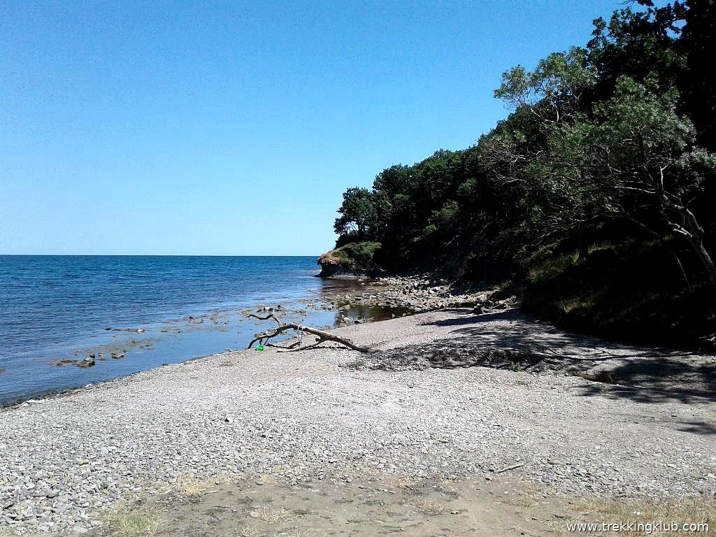
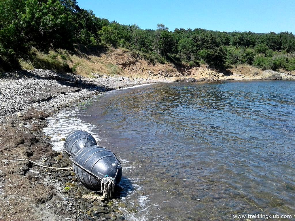
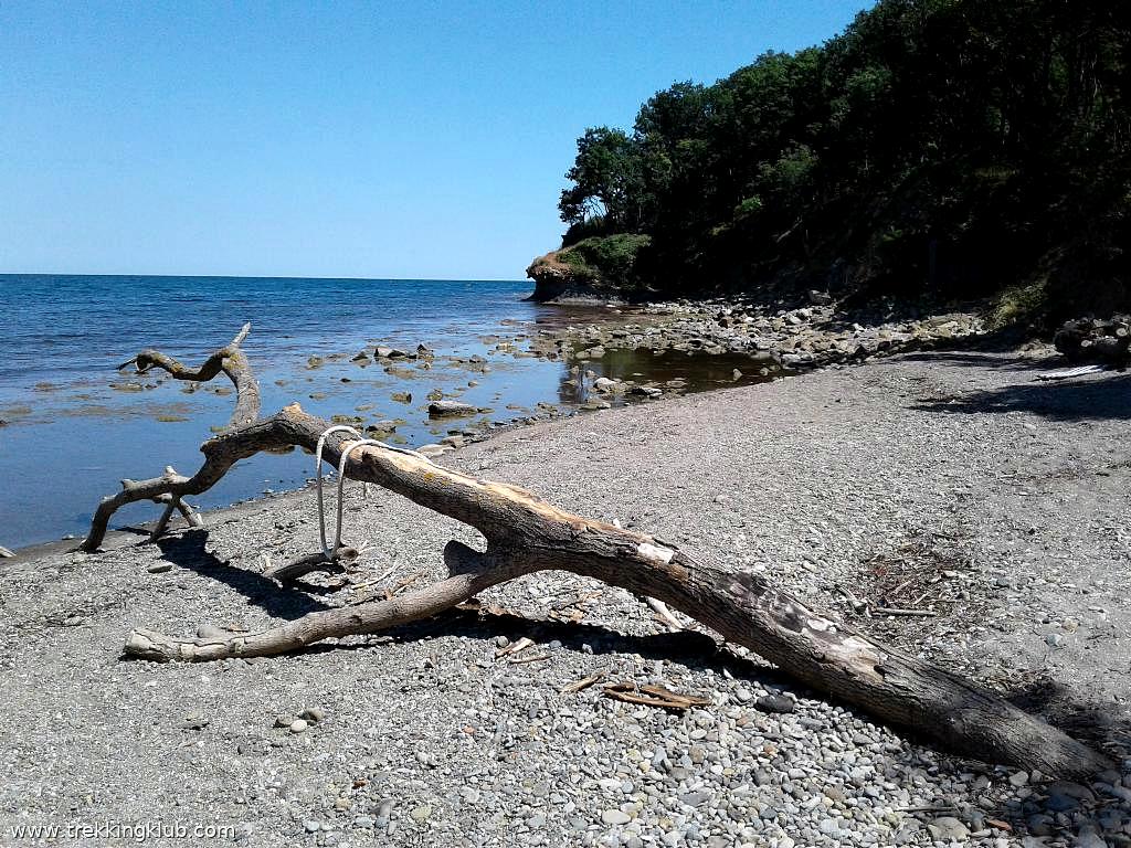
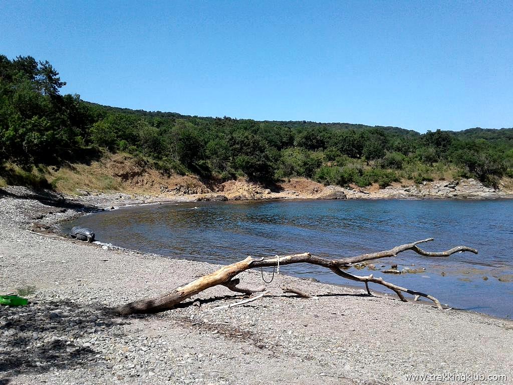
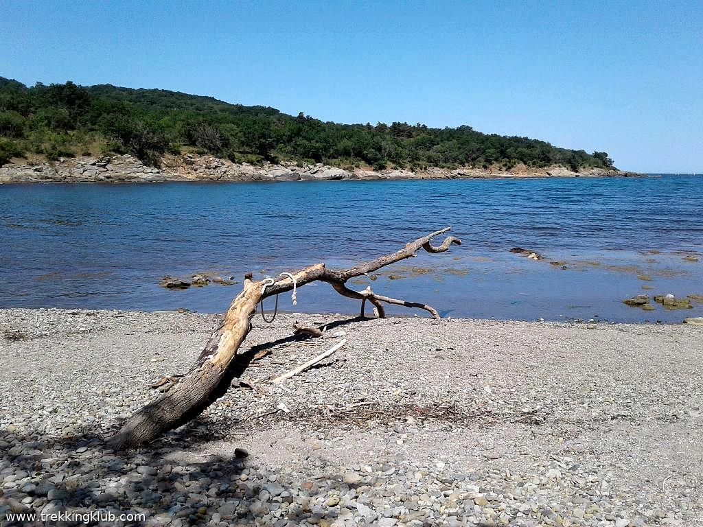
Mirius Bay (Zaliv Mirius) - Primorsko.
Copyright © 2025 - 2026 Trekkingklub.com. Please register for full and ad-free access.
Airport nearby Burgas Airport (BOJ - Burgas, Bg), 37 km away from Mirius Bay - Primorsko.
Photos of nearby places

Picnic Area - Mirius Bay, Primorsko (15 photos) 0.4 km away. The location is marked on the map as Giant Marley. This is a reference to the documentary movie Bob Marley: Giant, released in 2015.

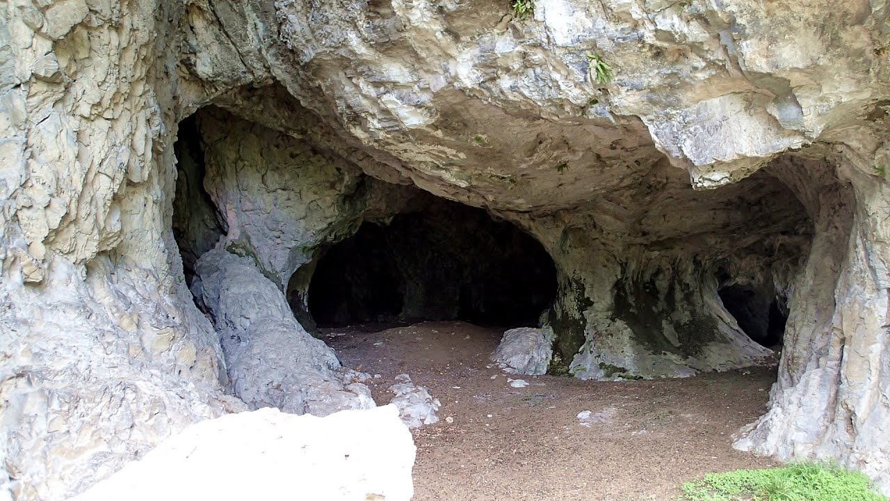
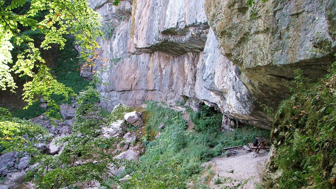
Underwater seal cave - Primorsko (6 photos) 0.8 km away. The Underwater Seal Cave is part of the underwater park located north of Primorsko. It is situated northeast from Crocodile Rock, also known as Big Crocodile Island.

Crocodile Rock - Primorsko (22 photos) 1.1 km away. North of Primorsko, along the rocky coastline of the Black Sea, there are stunning cliffs and several rocky outcrops emerging from the water. Due to their unique shapes, these formations have been whimsically named Crocodile Rocks.

Saint Nicholas underwater chapel - Primorsko (6 photos) 1.3 km away. The Saint Nicholas (Sveti Nikolai) underwater chapel is located southwest of Crocodile Rock, behind Little Crocodile Island, at a depth of 6 meters. The chapel was installed on June 1st, 2013.

The home of the mermaid - Primorsko (6 photos) 1.3 km away. A human-sized mermaid statue, weighing 800 kg, is lying on the seabed. It is located near the Small Crocodile Islet, south of the underwater chapel, at a depth of 12 meters next to a vertical cliff.

Astronomical observatory and thracian megalithic sanctuary Begliktash (40 photos) 1.3 km away. The megalithic blocks are made of a volcanic rock called tufa, likely formed during the eruption of a prehistoric volcano many millions of years ago. These include the Sacrificial Altar Bed, Throne, Menhir, Star Cluster Pleiades, Footstep of the Goddess-Mother, Sacred Landing, Moonstone, Sundial, Apostolstash, Labyrinth, Stone Crevice.

Perla Beach - Primorsko (9 photos) 1.6 km away. Perla Beach (Plazh Perla) - Stomoplo Bay, Primorsko.

Dragon House dolmen (5 photos) 1.8 km away. The dolmen Zmeyova Kashta (Dragon's House) is located very close to the asphalt road, near the Begliktash parking area, at the beginning of the trail to the Thracian fortress Ranuli. It is a small rectangular structure made of large stone blocks.


Abandoned building Perla 2 - Primorsko (24 photos) 2.1 km away. The abandoned building Perla 2 is located north of Primorsko, in the Stomoplo Bay area, nestled in a forest. The construction of the luxury complex Pearl-2 began in 1986, but the site was abandoned in the spring of 1990, and it became home to bats.

Thracian Fortress Ranuli, Lions Head Rock (40 photos) 3.3 km away. Thracian Fortress Ranuli (Valchan's fortress) and the Lion's Head Rock. On Copper Ridge (Meden Rid), overlooking the Ropotamo River, the Thracian miner tribe Skirmiani constructed a fortress.

Mermaid - Primorsko (8 photos) 3.8 km away. The statue of the mermaid is situated at the tip of the peninsula extending east of Primorsko. Elevated above the promenade on a rocky hillside, it occupies a highly visible location.

Portraits on the rocks - Primorsko Promenade and Lighthouse (12 photos) 3.9 km away. A wide seaside promenade that connects the northern and southern beaches of Primorsko. Along the promenade, on the rocks by the sea, the colorful images of famous personalities have been drawn.

Drivers beach between Duni and Arkutino (6 photos) 7.7 km away. Drivers or Chauffeurs Beach, also known as Alepu Beach or Dunes, is one of the most renowned and scenic wild beaches along the South Black Sea coast. Located between Duni Resort to the north and Cape Humata to the south, the beach stretches nearly 3 kilometers in length and reaches a width of up to 70 meters.

Cape Agalina - Sozopol (24 photos) 9.5 km away. Agalina Cape is located on Bulgaria's southern Black Sea coast, south of Sozopol, Smokinya Beach, and Kavacite Beach. Its name, Agalina, comes from the Greek word agalia, which means embrace.

Art Complex Anel Sozopol - Budjaka Peninsula (6 photos) 11.8 km away. Art Complex Anel is located on Bulgaria's Black Sea coast near Sozopol, on the Budjaka Peninsula. It is the world's only hotel-art-museum complex, featuring a natural lagoon and stunning architecture.

Castle of Ravadinovo (79 photos) 12.7 km away. The Castle of Ravadinovo (In love with the wind), situated near Sozopol in Bulgaria, is a enchanting structure that delights visitors with its fairytale-like appearance and distinctive charm. Also known as In Love with the Wind, this castle is the visionary project of architect Georgi Kostadinov Tumpalov, who dedicated himself to its design and construction from 1996 onward, transforming his dream into reality through perseverance and community support.

North Beach - Arapya beach resort (12 photos) 13 km away. Arapya is a coastal resort area in Burgas province, Bulgaria, located between Tsarevo and Lozenets.

Birds Island - Cape Arapya (9 photos) 13.2 km away. Birds Island (Ptichi Ostrov) - Cape Arapya (Nos Arapya).

Seagulls beach and the Marina Port Sozopol harbour (2 photos) 14.8 km away. Marina Port Sozopol offers everything an experienced sailor could wish for. The port has 243 berths for boats up to 25 meters long, equipped with electricity and drinking water.


Sunrise - Mussel Beach - Varvara (10 photos) 20.3 km away. Sunrise - Mussel Beach (Midenia plazh) - Varvara.
[ Top ↑ ]
Videos of nearby places

Stone Forest - Slanchevo 103.4 km away. The Stone Forest (Stones stuck in the ground, Pobiti Kamani) of Bulgaria is located 18 km west of Varna, at the foothills of the Eastern Balkan Mountains. Its Bulgarian name, Pobiti Kamani, translates to planted stones, and it is referred to in English as the Stone Desert or Stone Forest.

Buzludzha monument - Kazanluk 200.5 km away. Buzludzha is a historically significant mountain located in the Central Balkan Mountains of Bulgaria. At its summit, at an altitude of 1432 meters above sea level, there is an abandoned monument.

Stone Mushrooms - Beli Plast 201.2 km away. The Stone Mushrooms (Kamenni Gabi) nature reserve in Bulgaria is situated east of the village of Beli Plast, along the road that connects Kardzhali to Haskovo. Spanning an area of 3 hectares, the reserve is home to several mushroom-shaped rock formations.

Cherven, a medieval fortified town - Bulgaria 204.6 km away. Located about 30 km south of the city of Ruse in Bulgaria, the Cherven medieval fortress can be found in the Rusenski Lom Nature Park. Originally a Byzantine fortification from the 6th century, it reached the height of its development in the 14th century.

Shipka pass - Shipka 206.6 km away. The Shipka Pass is one of the most spectacular crossings of the Balkan Mountains, and is part of the Bulgarka Nature Park. It separates the provinces of Gabrovo and Stara Zagora, and provides a connection between the cities of Gabrovo and Kazanlak.
Other places
The Amphitheater of the Dragons Baia de Fier 455 km away. The Amphitheater of the Dragons (Amfiteatrul Zmeilor) is the seventh (2017) via ferrata route in Baia de Fier. It was inaugurated last year, on December 26, 2017, after Christmas.
Amazing Bridges Zabardo 268.5 km away. The Amazing Bridges (Chudni Mostove, Wonderful Bridges) are natural stone bridges. They are located in the Rhodope Mountains, in the Smolyan Province of Bulgaria, within the valley of the Erkyupriya River, at an altitude of 1,450 meters above sea level.

The Stone Wedding Zimzelen, Kardzhali 208.5 km away. The Stone Wedding (Kamenna Svatba, Petrified Wedding, Kardzhali Pyramids) is located near the village of Zimzelen, close to the city of Kardzhali, in the eastern part of the Rhodope Mountains in Bulgaria. This spectacular natural formation was declared a natural monument in 1974.
Mucanj via ferrata and the Boze Javorca cave Ravna Gora Difficulty level C/D, total length: 500 m, height difference: 200 m, year of construction: 2022. The via ferrata is free to climb.

The palm of God and the Heavens door Fundatura Ponorului mountain village One of the most picturesque places in Romania, one of the most beautiful mountain villages, and a photographer's paradise. Fundatura Ponorului is located in the Ponor Stream Valley, part of the Gradistea Muncelului - Cioclovina National Park, in the Sureanu Mountains.
Borov Kamak waterfall Zgorigrad, Vratsa 360.9 km away. The Vratsa eco-trail starts from the village of Zgorigrad, located 6 km from the city of Vratsa in Bulgaria, and ends at the Parshevitza hut. It is also known as the Zgorigradska or Borov Kamak eco-trail.

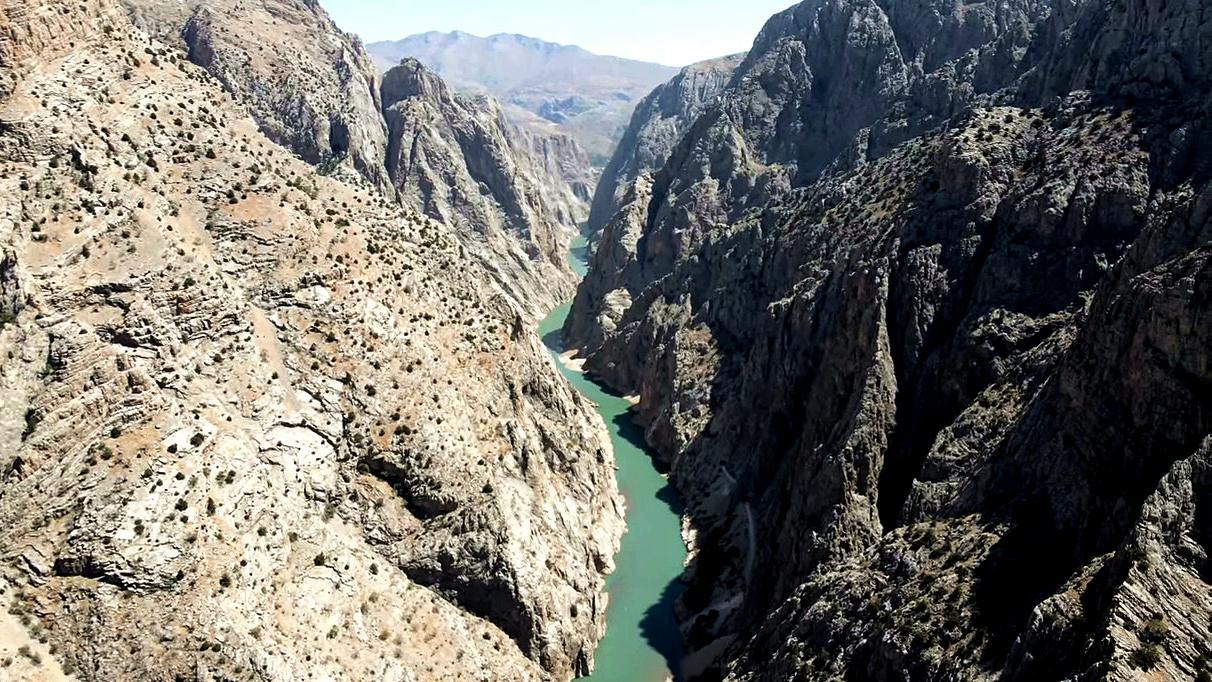
Karanlik Canyon Munzur Mountains Karanlik Kanyon (Dark Canyon) is situated between the Ilic and Kemaliye districts in Erzincan Province. This narrow, precipitous gorge has been carved by the Karasu River through the Munzur Mountains.
Other destinations
Fox Ears Beach Sinemorets 35.5 km away. Fox Ears Beach (Plazh Lisichi ushi) - Sinemorets.
Stone Beach Sinemorets 36.5 km away. Stone Beach (Kamenniat plazh) - Sinemorets.
Abandoned Sports Hall Varna 103.2 km away. An abandoned sports hall in Varna, with an unfinished dormitory and tennis courts across three levels.
[ Top ↑ ]
Copyright © 2003-2026 Trekkingklub and friends. Reproduction of any text, picture or video from the Mirius Bay - Primorsko website, either in printed or electronic form, is prohibited without prior written permission.
The given distances are to be understood as straight line distances, and are approximate. Website made in Miercurea Ciuc  .
.