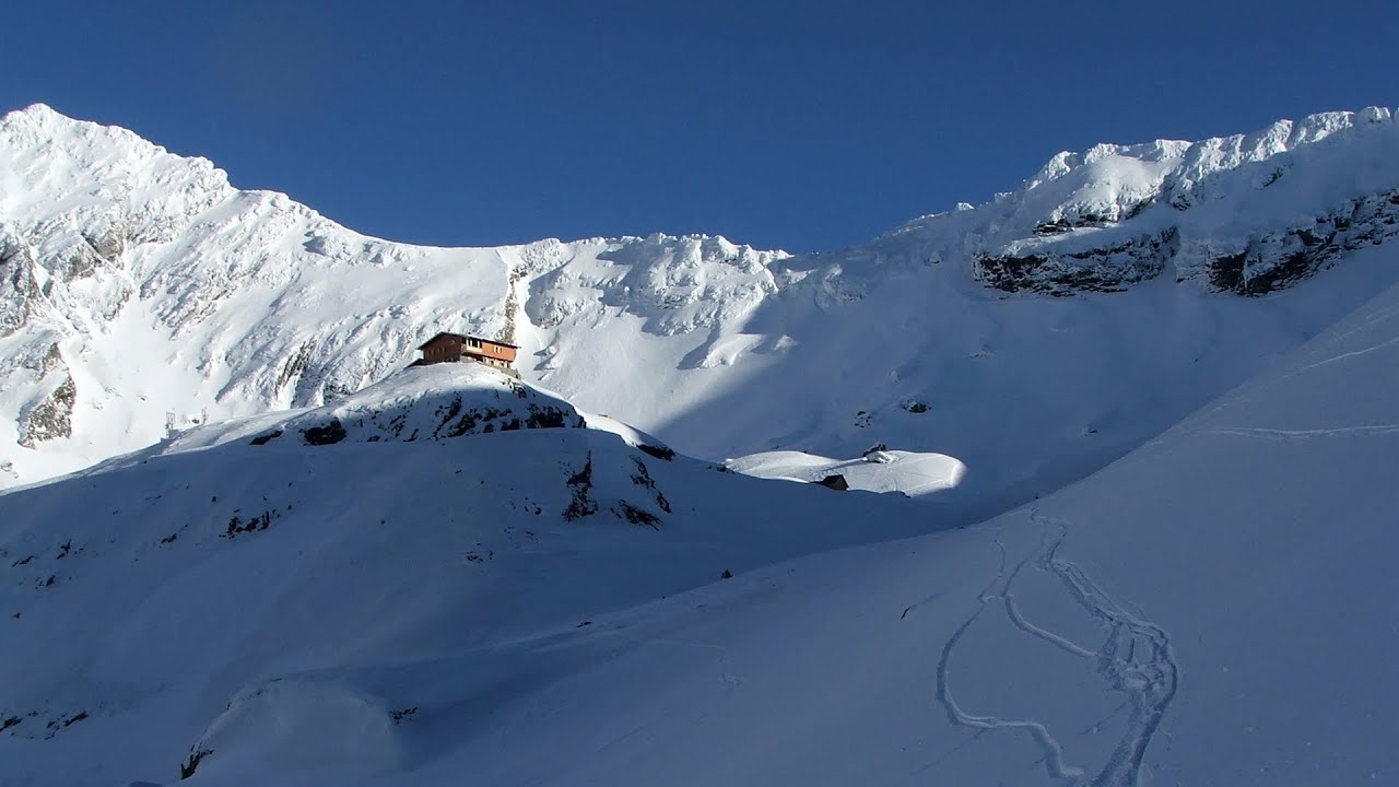
Podragu saddle - Fagaras Mountains | Photos


Page no. 1, photos: 1-6, 24 photos in total. >>>

Copyright © 2005 - 2026 Trekkingklub.com. Please register for full and ad-free access.
Airport nearby: Sibiu International Airport (SBZ - Sibiu, Ro), 51 km away.
Photos of nearby places


Chamois saddle - Fagaras Mountains (12 photos) 4.9 km away. Chamois saddle (Saua Caprei) - Fagaras Mountains.


[ Top ↑ ]
Videos of nearby places
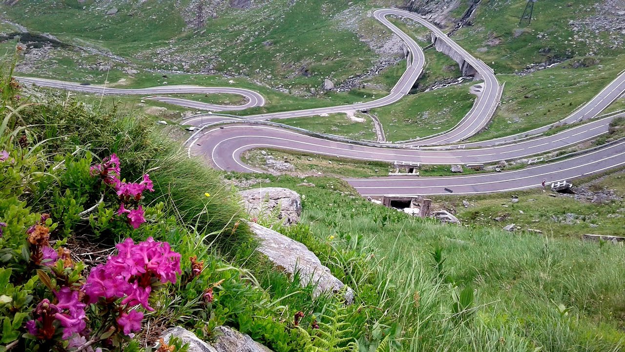
Balea waterfall and the Transfagarasan mountain_road 7.1 km away. Balea waterfall and the Transfagarasan mountain road - blue triangle marked trail, Balea valley, Fagaras Mountains, Southern Carpathians.
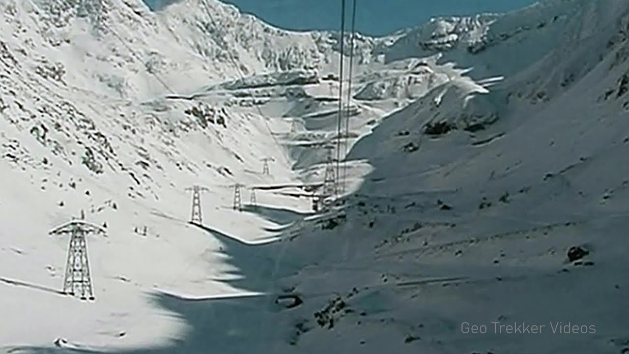
Snow-covered valley of Balea and the Transfagarasan in winter - The ascent 7.4 km away. The Fagarasi Mountains can be easily approached from the north, mainly by using the Transfagarasan Road. This high altitude mountain road is only accessible during the summer months (throughout its entire length).
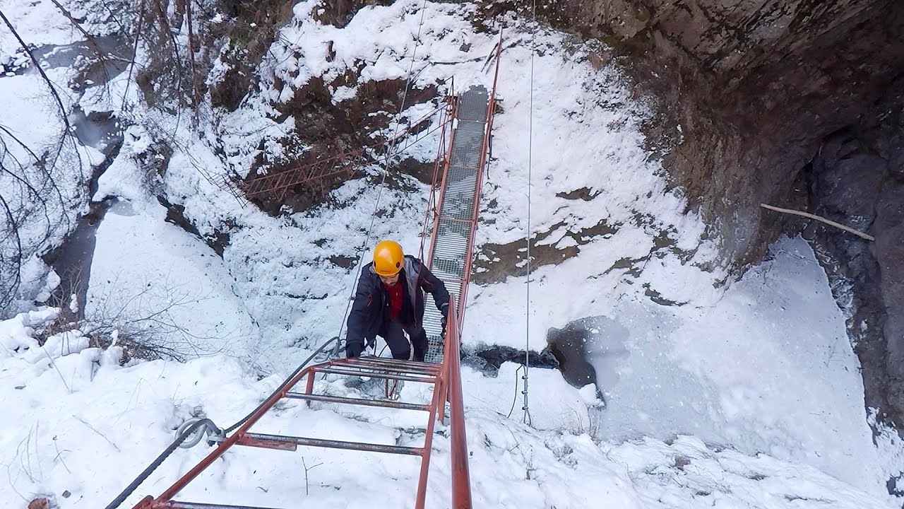
Stan Valley Canyon in winter 27.5 km away. The Stan Valley is a picturesque canyon, even in winter. In fact, when the stream is frozen and covered with a layer of snow, exploring the canyon becomes much quicker and easier.

Stan Valley Canyon 27.6 km away. The Stan Valley is located near Lake Vidraru, southwest of it, in the Fruntii Mountains. Those who have visited the Seven Ladders Waterfall will appreciate this canyon, outfitted with infrastructure for tourist accessibility.
Other places
The Stone Path Nochevo 416.3 km away. Kamennata pateka (The Stone Path) - Nochevo.
Iron path in winter Harghita Madaras 116.4 km away. This is already the sixth time I've climbed the via ferrata route set up on the rocky cliffs of Seii Peak near Harghita Madaras. Although the forecast suggests that the weather should be nice, I am greeted by a sky covered in clouds.
Hilis cave Turda Gorge via ferrata 132.3 km away. While the first time I climbed this via ferrata (Sky Fly) in the morning, now I climbed it in the light of the setting sun. The red-dressed rocks created a special atmosphere, and I could admire the sunset from the top of the climbing route.
Devetashka cave Devetaki 264 km away. The Devetashka Cave is located in Bulgaria, near the village of Devetaki. After the entrance portal, which measures 30 m by 35 m, there is a vast open chamber that is 110 meters wide and 359 meters long.
Turcinovac via ferrata and cave Ovcar Banja 401.8 km away. Difficulty level B, total length: 60 m, height difference: 45 m, year of construction: 2010. Climbing the via ferrata is only permitted with the approval of the Extreme Sports Club Armadillo from Cacak, and there is a fee for it.
The Wooden Ladders The villages of Scarisoara and Inelet, Cerna valley 179.8 km away. Scarisoara and Inelet are small, isolated villages located in the mountainous region of Banat. They are situated on the right bank of the Cerna River, approximately 19 km away from the Baile Herculane resort.
Kaya Bunar Hotnitsa 281.1 km away. The Kaya Bunar Waterfall (Hotnishki Vodopadi, Hotnitsa Waterfall) is located 20 km from the city of Veliko Tarnovo in Bulgaria. The waterfall is 30 meters high, and there are several smaller cascades above it.
Vulva cave Rhodope Mountains 435.9 km away. The Vulva Cave (Peshtera Utroba) is situated near the village of Nenkovo and the city of Kardzhali, in the Rhodope Mountains of Bulgaria. It derives its name from the shape of its entrance, which resembles a vulva.
Falco Peregrinus 2 via ferrata Falcons Rock, Corbu 175.5 km away. Falco Peregrinus (Peregrine falcon) 2 via ferrata (D) - Falcon's Rock, Corbu.
Cherven, a medieval fortified town Bulgaria 244.2 km away. Located about 30 km south of the city of Ruse in Bulgaria, the Cherven medieval fortress can be found in the Rusenski Lom Nature Park. Originally a Byzantine fortification from the 6th century, it reached the height of its development in the 14th century.
Parmak Kaya Nochevo, Panichkovo 417.3 km away. Between the villages of Nochevo and Panichkovo in Chernoochene Municipality, Kardzhali Province, lies Parmak Kaya (Finger Rock). The site features ancient carvings and rock formations within an old pine forest.
With snowshoes in the Tihu creek valley Rastolita 168.9 km away. We met geotrekking treasure hunters from Gheorgheni, Miercurea Ciuc and Targu Mures in Rastolita. We entered the Calimani Mountains with an off-road vehicle, along the Rastolita and Tihu streams.
White Drin waterfall 472.9 km away. Drini i Bardhe (White Drin) waterfall.
The two niches with the visor Nochevo 416.2 km away. Dvete nishi s kozirkata (The two niches with the visor) - Nochevo.
[ Top ↑ ]
Copyright © 2003-2026 Trekkingklub and friends. Reproduction of any text, picture or video from this website, either in printed or electronic form, is prohibited without prior written permission.
The given distances are to be understood as straight line distances, and are approximate. Website made in Miercurea Ciuc  .
.