Tourist attractions near Tarsa (Avram Iancu, Alba county, Romania)
Photos of nearby places


Dark Blue Bruises of the Ponor - Trascau Mountains (16 photos) 50.8 km away. The Dark Blue Bruises of the Ponor (Vanatarile Ponorului) is a polje-type protected area. Polje is a Slovenian word meaning plain, and it refers to a surface karst form.

Valley of Hell - Padurea Craiului Mountains (23 photos) 51.1 km away. Valley of Hell (Valea Iadului) - Padurea Craiului Mountains.

Dark Blue Bruises of the Ponor, Bedeleu (24 photos) 51.3 km away. Dark Blue Bruises of the Ponor (Vanatarile Ponorului), Bedeleu - Trascau Mountains.

Balcony Clearing - Trascau Mountains (6 photos) 51.4 km away. Balcony Clearing (Erkély-tisztás, Balconul Sipotelor) - Trascau Mountains.

Goats Ledge - Trascau Mountains (10 photos) 51.7 km away. Goats Ledge (Brana Caprei, Kecskék párkánya) - Trascau Mountains .


Stone of Cetea, Horse Pit - Trascau (16 photos) 54.4 km away. Stone of Cetea, Horse Pit (The pit cave from the Stone of Cetea) - Trascau Mountains.

Kings Cave - Padurea Craiului Mountains (48 photos) 55.9 km away. Craiului (Kings) Cave - Padurea Craiului Mountains.

Goat Stone - Craiva, Trascau Mountains (18 photos) 56.1 km away. Goat Stone (Piatra Craivii, Piatra Craivei, Apulon) - Craiva, Trascau Mountains.

Fern Cave - Padurea Craiului Mountains (9 photos) 56.5 km away. Ferigi (Fern) Cave - Padurea Craiului Mountains.

Oxen Waterfall - Padurea Craiului Mountains (12 photos) 59.7 km away. Oxen Waterfall (Cascada Boilor) - Padurea Craiului Mountains.

Sohodol pit cave - Padurea Craiului Mountains (10 photos) 60.2 km away. Sohodol pit cave (Avenul Sohodol) - Padurea Craiului Mountains.

Szekler Stone North - Trascau Mountains (8 photos) 60.9 km away. Szekler Stone North (Piatra Secuilor Nord) - Trascau Mountains.

Szekler Stone - Trascau Mountains (42 photos) 60.9 km away. Szekler Stone (Székely-kő, Piatra Secuilor) - Trascau Mountains.

Moanei Cave - Padurea Craiului Mountains (58 photos) 61.1 km away. The Moanei Cave (Pestera Moanei) is located on the upper course of the Misid River, on the right side of the Misid Gorge (Cheilor Misidului). The cave has two entrances, one fossil and sloped, while a subterranean stream flows through the active gallery.

Napistileu cave - Padurea Craiului (10 photos) 64.3 km away. Napistileu (Ungurul Mic) cave - Padurea Craiului Mountains.
[ Top ↑ ]
Videos of nearby places

Pisoaia waterfall - Vidra 6.5 km away. Pisoaia waterfall (Pisoaia Vidrii, Urine of the otter) - Nemesi, Vidra.

Black Rocks iron path - Bihor Mountains 19.7 km away. Black Rocks is located in the Bihor Mountains, near the Vartop Saddle, to the west of it. It is interesting that the locals (if I understood correctly) do not know this name, but use the name Piatra Buna (meaning Good Stone) for this spectacular rock.


Meziad cave - Padurea Craiului Mountains 48.8 km away. The Meziad Cave is located near the village of Meziad, 22 km north of Beius, in the Padurea Craiului Mountains. It is one of our first tourist caves, its exploration is associated with the name of Gyula Czárán, cave researcher and writer.
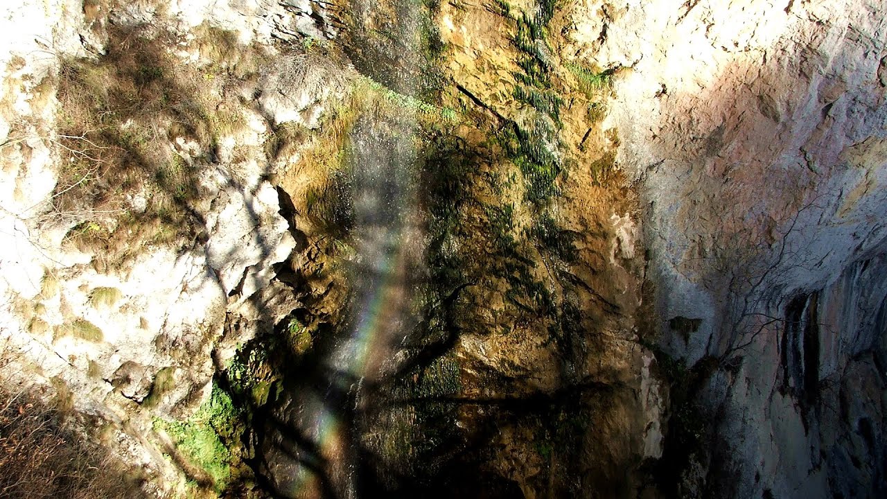
Dalbina waterfall, Dark Blue Bruises of the Ponor 50.8 km away. Dalbina waterfall, Dark Blue Bruises of the Ponor (Vanatarile Ponorului).
Other places
Belintash Ridge of Dobrostan, Rhodope Mountains Belintash is a mysterious monolithic complex located approximately 50 km from Plovdiv, passing through the scenic Rhodope Mountains. It is situated southeast of the village of Vrata and west of the village of Sini Vruh.

Stan Valley Canyon 180.8 km away. The Stan Valley is located near Lake Vidraru, southwest of it, in the Fruntii Mountains. Those who have visited the Seven Ladders Waterfall will appreciate this canyon, outfitted with infrastructure for tourist accessibility.
Roman bridge Nenkovo Along the Borovitsa River, near the village of Nenkovo, there is a Roman Bridge. It connects the two banks of the Borovitsa River.
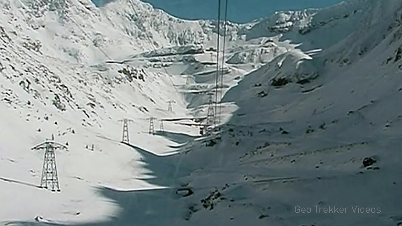
Snow-covered valley of Balea and the Transfagarasan in winter The ascent 162.4 km away. The Fagarasi Mountains can be easily approached from the north, mainly by using the Transfagarasan Road. This high altitude mountain road is only accessible during the summer months (throughout its entire length).
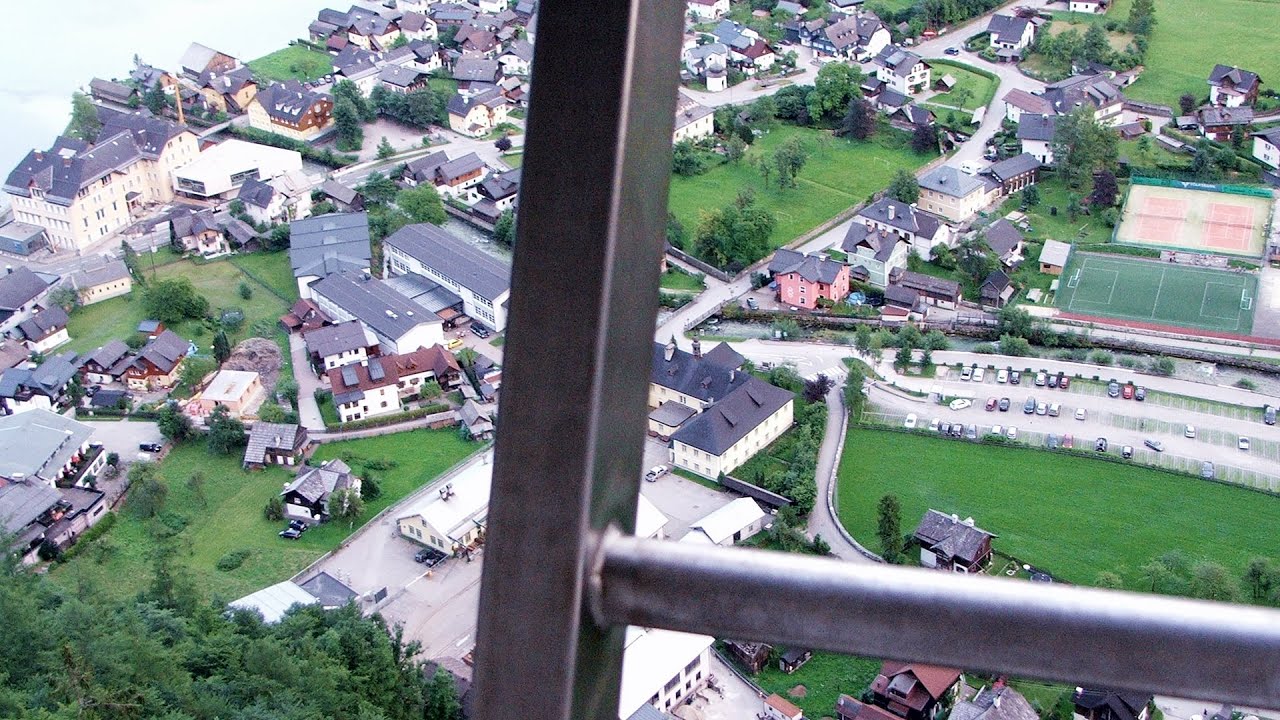
Echernwand via ferrata, World Heritage View Hallstatt, Salzberg, Dachstein Mountains I climbed the via ferrata on the Echernwand rock wall at dusk. This route is located above one of Austria's most beautiful lakes, and above Hallstatt.
Óbányai Valley Eastern Mecsek 339.6 km away. The Óbányai Valley is located in the Eastern Mecsek Landscape Protection Area, stretching between Óbánya and Kisújbánya. Its attractions include the Slanting waterfall or Fairy Stairs, and the Dripping Rock.
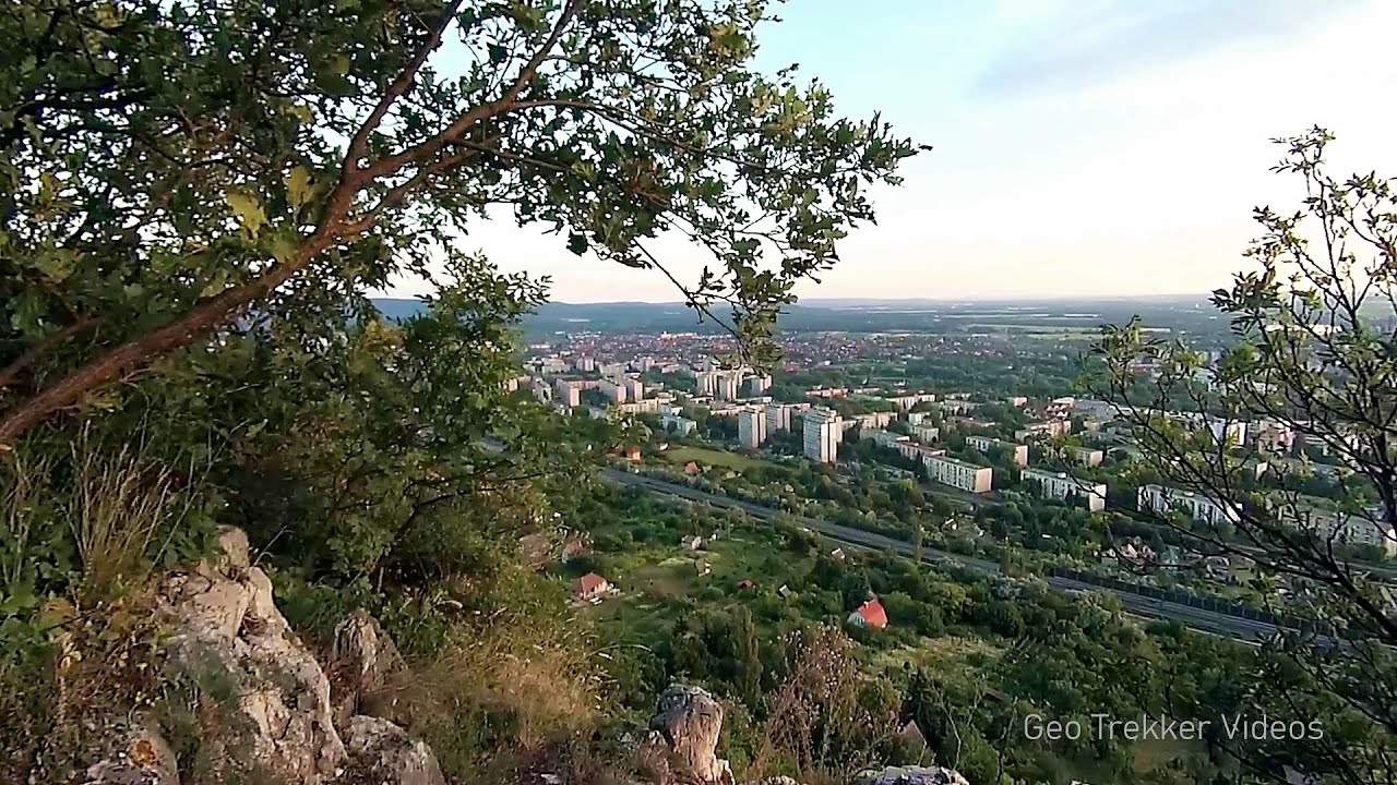
Jacob Hill Lookout Western Mecsek 359.3 km away. Jacob Hill is a popular hiking destination in Western Mecsek, with an elevation of 592 m. At the top, there are the ruins of a Pauline monastery and a lookout tower.
Abandoned Sports Hall Varna An abandoned sports hall in Varna, with an unfinished dormitory and tennis courts across three levels.
[ Top ↑ ]
Copyright © 2003-2026 Trekkingklub and friends. Reproduction of any text, picture or video from this website, either in printed or electronic form, is prohibited without prior written permission. Website made with love  in Miercurea Ciuc.