Tourist attractions near Cacuciu Vechi (Auseu, Bihor county, Romania)
Photos of nearby places


Cave of Winds - Padurea Craiului Mountains (24 photos) 10.1 km away. The Cave of Winds (Pestera Vantului) is located in the Padurea Craiului Mountains, not far from Frantura meadow, near Suncuius, on the left geographical side of the Crisul Repede River. The Cave of Winds was discovered in 1957 by Béla Bagaméri and is currently (as of 2003) the longest cave system known in Romania as well as in the Carpathian Basin.


The cave from the spring - Padurea Craiului Mountains (8 photos) 10.7 km away. Pestera de la Izvor (The cave from the spring) - Padurea Craiului Mountains.

Napistileu cave - Padurea Craiului (10 photos) 10.7 km away. Napistileu (Ungurul Mic) cave - Padurea Craiului Mountains.


Moanei Cave - Padurea Craiului Mountains (58 photos) 14 km away. The Moanei Cave (Pestera Moanei) is located on the upper course of the Misid River, on the right side of the Misid Gorge (Cheilor Misidului). The cave has two entrances, one fossil and sloped, while a subterranean stream flows through the active gallery.


Oxen Waterfall - Padurea Craiului Mountains (12 photos) 16.4 km away. Oxen Waterfall (Cascada Boilor) - Padurea Craiului Mountains.

Sohodol pit cave - Padurea Craiului Mountains (10 photos) 17.5 km away. Sohodol pit cave (Avenul Sohodol) - Padurea Craiului Mountains.
[ Top ↑ ]
Videos of nearby places

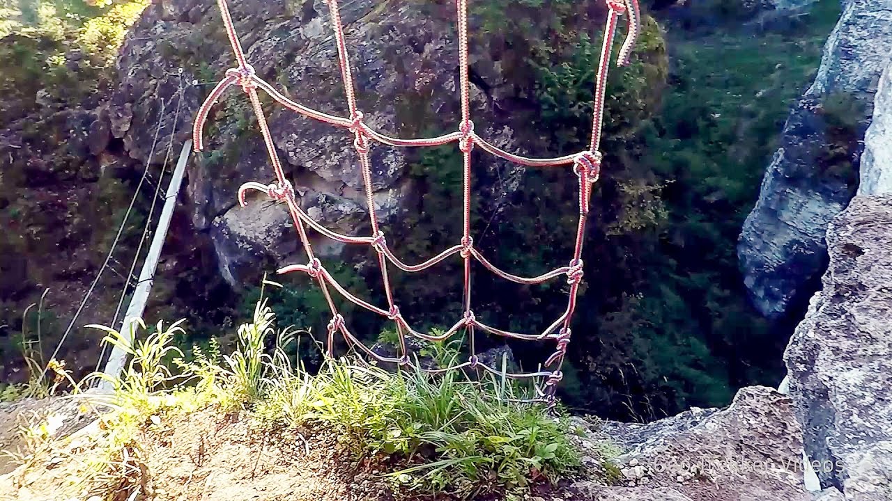
Via Ferrata Fairy Castle - Vadu Crisului 6 km away. Via Ferrata Fairy Castle (Castelul Zanelor, Casa Zmeului, The House of the Dragon) - Vadu Crisului. South of Vadu Crisului, in the Padurea Craiului Mountains, lies the Vadu Crisului Gorge, a section of the Crisul Repede river that narrows between rocky walls.

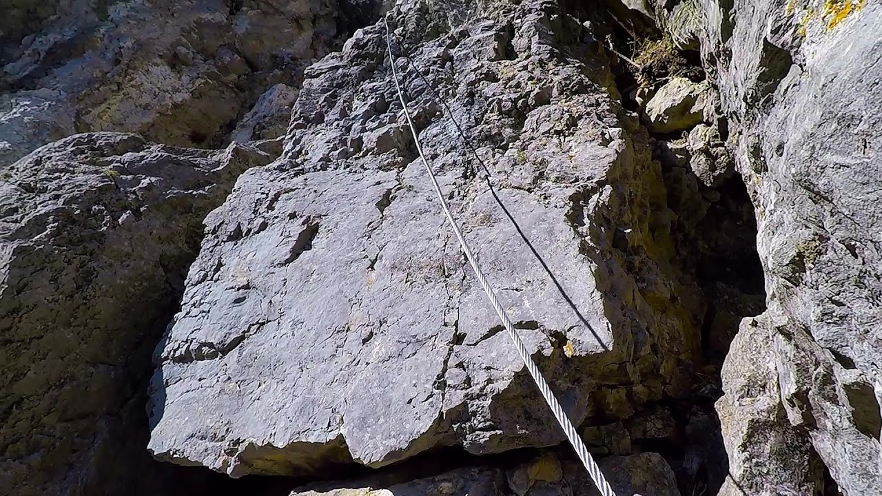
Fairy Cliff via ferrata route - Vadu Crisului 6.1 km away. Fairy Cliff (Peretele Zanelor) via ferrata route - Vadu Crisului. In Vadu Crisului, in the Padurea Craiului Mountains, on the right bank of the Crisul Repede, you can find the newest, in chronological order (2015) the fifth Transylvanian, new type of via ferrata route.

Vadu Crisului cave 7 km away. The Vadu Crisului Cave, with a total length of over 1000 meters, is located in the picturesque gorge of Crisul Repede creek. It consists of a gently meandering, long passage that features an active, stream level next to an upper, fossil level in its first section.


Acapulcos spur via ferrata 10.3 km away. Acapulco's spur (Pintenul lui Acapulco) via ferrata (B/C) - Montana Land, Suncuius.
Other places

Stone Mushrooms Beli Plast The Stone Mushrooms (Kamenni Gabi) nature reserve in Bulgaria is situated east of the village of Beli Plast, along the road that connects Kardzhali to Haskovo. Spanning an area of 3 hectares, the reserve is home to several mushroom-shaped rock formations.
The Bears Jump iron path Baia de Fier 225.8 km away. The Bear's Jump (Saritoarea Ursului) is a fantasy-named via ferrata that opened in May 2018 near Baia de Fier, alongside the Middle Belt (Spirala Medie). Both routes begin from the G zone of the rock face that conceals the Women's Cave (Pestera Muierilor).

Hias via ferrata Silberkarklamm, Ramsau am Dachstein The Hias via ferrata in the Silberkar Gorge (Silberkarklamm) is the first of the three via ferrata routes, and perhaps the easiest to complete. Two cable bridges and a few trickier sections make it interesting, but it is truly impressive due to the view of the narrow gorge.

Kossuth Rock Harghita Bath 251.7 km away. Kossuth Rock - Harghita Bath (Harghita-Bai), Harghita Mountains.
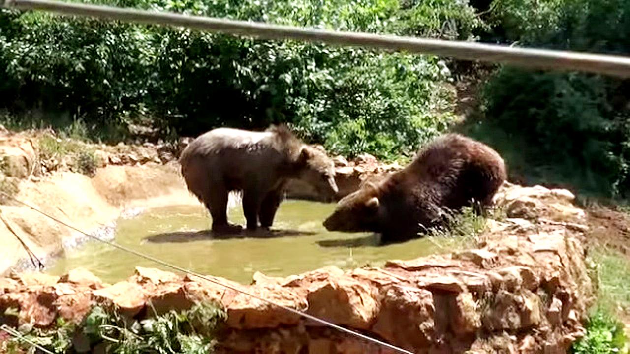
Via ferrata Bear Cave adventure and climbing zone Borsec 233.3 km away. The Bear Cave in Borsec is a vast natural formation, scattered with rocks and deep crevices. Access to the cave's cavities is through a series of narrow formations resembling canyons, surrounded by giant fir trees and rocks with interesting shapes.

SkiGyimes ski slope Lunca de Sus 269.6 km away. It is well-known that in Rimetea, due to the Piatra Secuiului (Szekler's Rock) mountain, the Sun rises twice. However, perhaps few know that in Lunca de Sus, the Sun sets three times.
Belintash Ridge of Dobrostan, Rhodope Mountains Belintash is a mysterious monolithic complex located approximately 50 km from Plovdiv, passing through the scenic Rhodope Mountains. It is situated southeast of the village of Vrata and west of the village of Sini Vruh.
Wild Ferenc memorial path Suhardul Mic 252 km away. In recent days, this news has been everywhere: the via ferrata route built on the southwest wall of Suhardul Mic (Little Suhard) has finally been completed and inaugurated. The new route has been named after Ferenc Wild, in memory of the former mountain rescuer, sports writer, and one of the founders of the mountain rescue association in Gheorgheni.
[ Top ↑ ]
Copyright © 2003-2026 Trekkingklub and friends. Reproduction of any text, picture or video from this website, either in printed or electronic form, is prohibited without prior written permission. Website made with love  in Miercurea Ciuc.