Tourist attractions near Rosia (Rosia, Bihor county, Romania)
Photos of nearby places

Kings Cave - Padurea Craiului Mountains (48 photos) 6.1 km away. Craiului (Kings) Cave - Padurea Craiului Mountains.

Sohodol pit cave - Padurea Craiului Mountains (10 photos) 8.4 km away. Sohodol pit cave (Avenul Sohodol) - Padurea Craiului Mountains.

Fern Cave - Padurea Craiului Mountains (9 photos) 8.8 km away. Ferigi (Fern) Cave - Padurea Craiului Mountains.

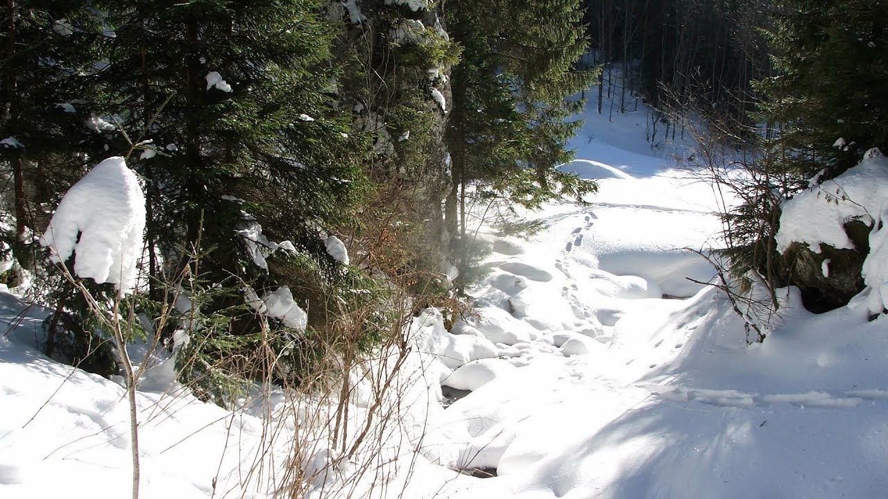
Valley of Hell - Padurea Craiului Mountains (23 photos) 14.2 km away. Valley of Hell (Valea Iadului) - Padurea Craiului Mountains.

Moanei Cave - Padurea Craiului Mountains (58 photos) 14.7 km away. The Moanei Cave (Pestera Moanei) is located on the upper course of the Misid River, on the right side of the Misid Gorge (Cheilor Misidului). The cave has two entrances, one fossil and sloped, while a subterranean stream flows through the active gallery.

The cave from the spring - Padurea Craiului Mountains (8 photos) 18.3 km away. Pestera de la Izvor (The cave from the spring) - Padurea Craiului Mountains.

Napistileu cave - Padurea Craiului (10 photos) 18.4 km away. Napistileu (Ungurul Mic) cave - Padurea Craiului Mountains.

Cave of Winds - Padurea Craiului Mountains (24 photos) 18.8 km away. The Cave of Winds (Pestera Vantului) is located in the Padurea Craiului Mountains, not far from Frantura meadow, near Suncuius, on the left geographical side of the Crisul Repede River. The Cave of Winds was discovered in 1957 by Béla Bagaméri and is currently (as of 2003) the longest cave system known in Romania as well as in the Carpathian Basin.


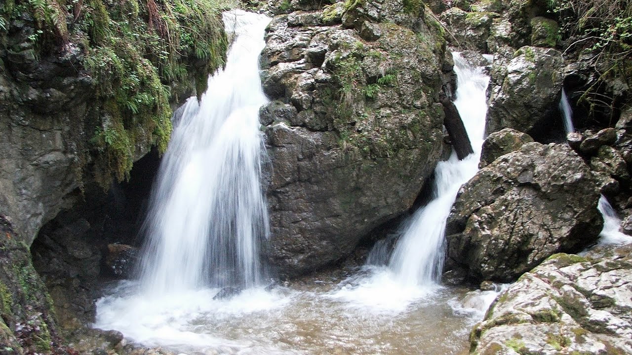
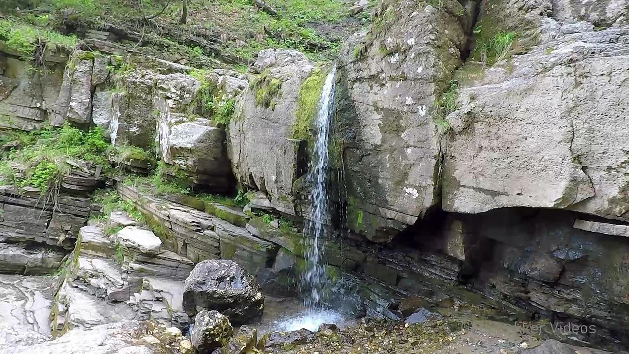
Oxen Waterfall - Padurea Craiului Mountains (12 photos) 20.3 km away. Oxen Waterfall (Cascada Boilor) - Padurea Craiului Mountains.


Dragons Garden - Galgau Almasului (20 photos) 81.7 km away. The natural reservation site Dragon's Garden (Gradina Zmeilor, Sárkányok kertje) from Galgaul Almasului is located in Salaj County, in the Western Carpathians. This natural playground is made up of interesting and unusual sandstone formations, an ensemble of 10-12 m high towers with strange figures cut in sandstone by the wind and water erosion.

Spherical concretions from Feleac (18 photos) 90.6 km away. The spherical concretions from Feleac are sedimentary rock materials that were cemented together to form a hard structure. The surrounding sediments slowly erode away, exposing the concretion.

Balcony Clearing - Trascau Mountains (6 photos) 92.9 km away. Balcony Clearing (Erkély-tisztás, Balconul Sipotelor) - Trascau Mountains.


Dark Blue Bruises of the Ponor, Bedeleu (24 photos) 93.4 km away. Dark Blue Bruises of the Ponor (Vanatarile Ponorului), Bedeleu - Trascau Mountains.

Dark Blue Bruises of the Ponor - Trascau Mountains (16 photos) 94.3 km away. The Dark Blue Bruises of the Ponor (Vanatarile Ponorului) is a polje-type protected area. Polje is a Slovenian word meaning plain, and it refers to a surface karst form.
[ Top ↑ ]
Videos of nearby places

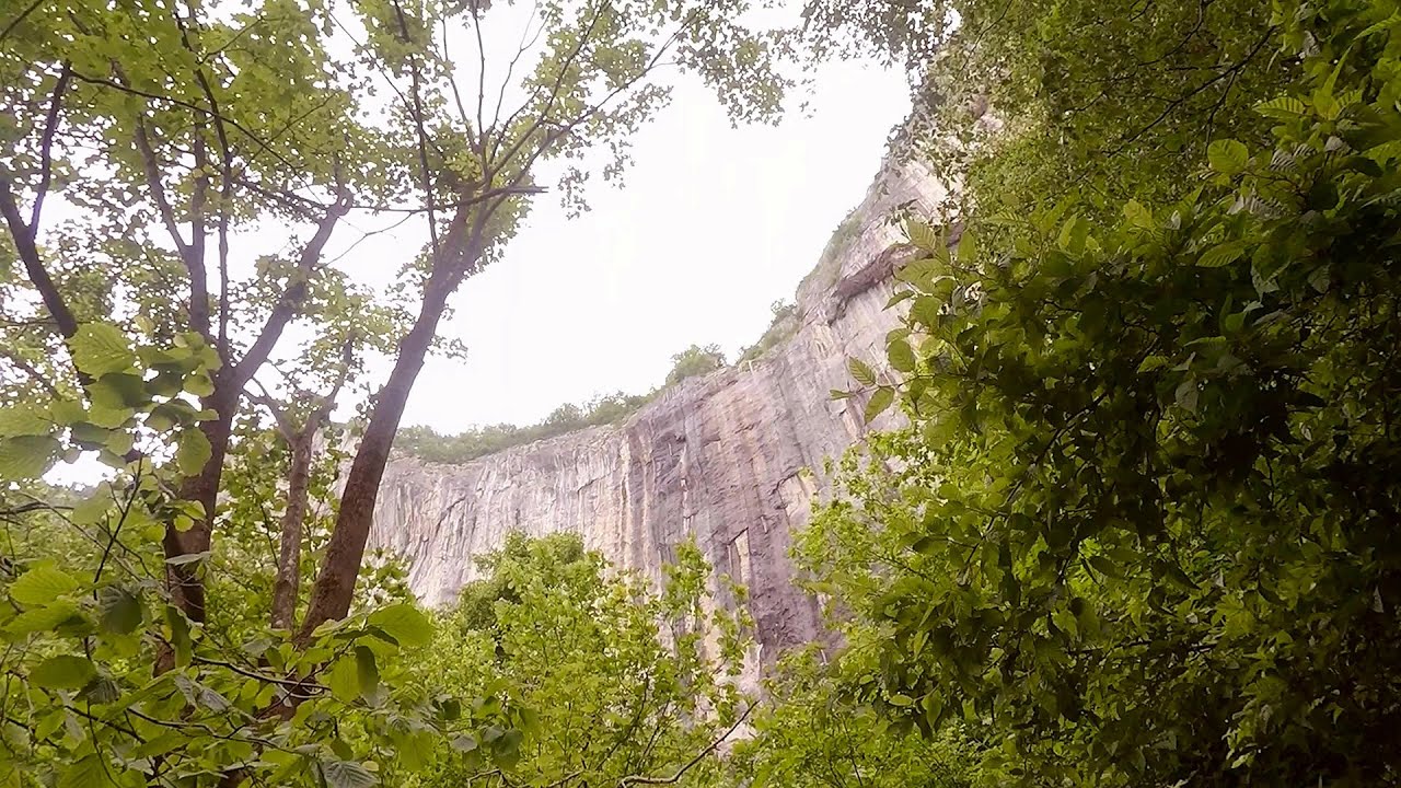
Crystal Cave at Farcu Mine 2.6 km away. In the Padurea Craiului Mountains, near Rosia, in the Farcu bauxite mine, in 1987, the miners accidentally discovered a cave. It was filled with crystal-shaped limestone formations.

Meziad cave - Padurea Craiului Mountains 7.6 km away. The Meziad Cave is located near the village of Meziad, 22 km north of Beius, in the Padurea Craiului Mountains. It is one of our first tourist caves, its exploration is associated with the name of Gyula Czárán, cave researcher and writer.

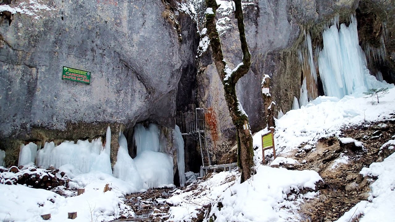
Hodoaba Valley iron path - Suncuius 18.4 km away. The Hodoaba Valley iron path is Romania's shortest and easiest (official) via ferrata route. It is located near Suncuius, in the Padurea Craiului Mountains, on the left bank of the Crisul Repede River.

Acapulcos spur via ferrata 18.9 km away. Acapulco's spur (Pintenul lui Acapulco) via ferrata (B/C) - Montana Land, Suncuius.

Other places

Walking to the top of Sumuleul Mare Sumuleu Ciuc 267.6 km away. This was my first attempt at shooting a video.
Waterfalls of Lapos creek Bicaz Gorge 259.9 km away. One of the lesser-known attractions of the Bicaz Gorges is the series of waterfalls along Lapos Creek. This creek flows between Cupas Stone and Bardos Stone before eventually merging with Bicaz Creek, forming spectacular waterfalls beneath the Altar Stone.
Mucanj via ferrata and the Boze Javorca cave Ravna Gora 406.4 km away. Difficulty level C/D, total length: 500 m, height difference: 200 m, year of construction: 2022. The via ferrata is free to climb.
Skaklya waterfall Vratsa 412.6 km away. The largest seasonal waterfall in Bulgaria plunges down from a height of 141 meters. It is located in the Vratsa Mountain National Park, just one and a half kilometers away from the city of Vratsa.
Downstream of the Izvorul Dorului creek Vanturis waterfalls 288.7 km away. Downstream of the Izvorul Dorului (Source of longing) creek - Vanturis waterfalls, Bucegi Mountains.

Big Via ferrata Rasnoavei Gorge 277.9 km away. The most dangerous Eastern European iron path, and also one of the most beautiful via ferrata routes in Romania, is in the Rasnoavei Gorges, Postavaru Mountains.The route is 450 m long, with a level difference of 220 m.
Seven Ladder Canyon in Winter Piatra Mare Mountain 285.1 km away. Seven Ladder Canyon and Waterfall in Winter - Piatra Mare Mountain
With snowshoes in the Tihu creek valley Rastolita 208.7 km away. We met geotrekking treasure hunters from Gheorgheni, Miercurea Ciuc and Targu Mures in Rastolita. We entered the Calimani Mountains with an off-road vehicle, along the Rastolita and Tihu streams.
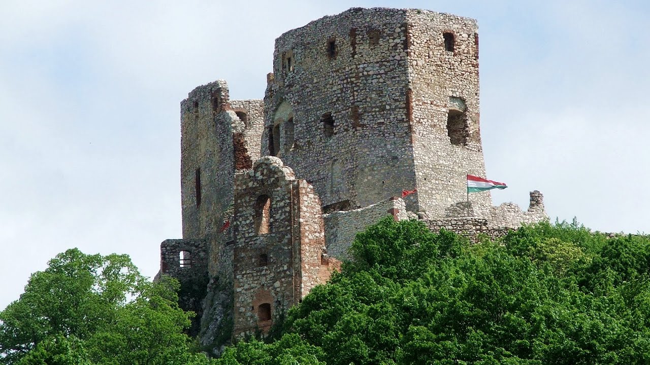
Castle panorama route, Zoltán Tálos memorial route, Besiegers route Csesznek 347.6 km away. Castle panorama route (D), Zoltán Tálos memorial route (E), Besieger's route (C), Kőmosó-ravine, Csesznek, Veszprém county, Hungary. The via ferratas in Csesznek are suitable for both getting acquainted with climbing, and assessing our capabilities.
[ Top ↑ ]
Copyright © 2003-2026 Trekkingklub and friends. Reproduction of any text, picture or video from this website, either in printed or electronic form, is prohibited without prior written permission. Website made with love  in Miercurea Ciuc.