Tourist attractions near Covasna (Covasna, Covasna county, Romania)
Photos of nearby places

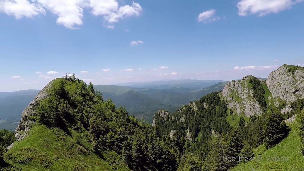
Surroundings of Covasna town (24 photos) 4.2 km away. Fortress of Fairies, Narrow gauge railway Covasna-Comandau


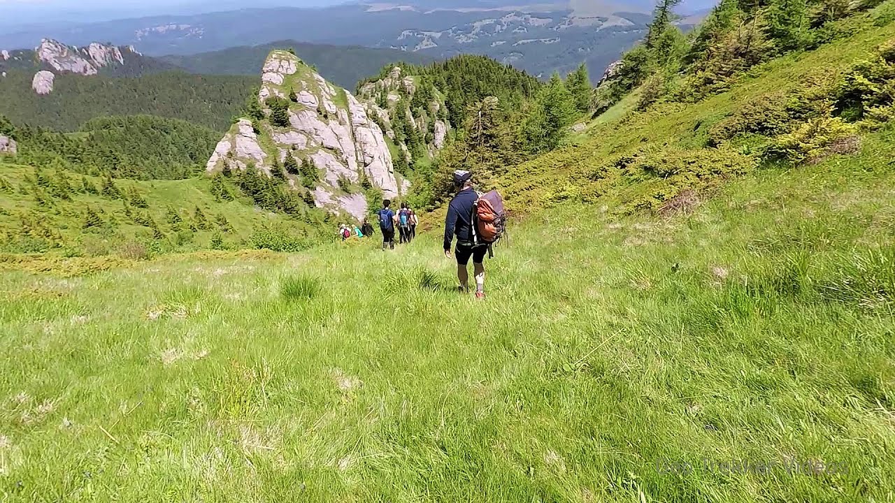
Devils Hand Rock - Ciucas Mountains (30 photos) 34.7 km away. Dalghiu - Devil's Hand Rock - Ciucas peak - Vama Buzaului
[ Top ↑ ]
Videos of nearby places

Preachers Rock - Bodoc Mountains 28.8 km away. In the Bodoc Mountains, west-southwest from the Henter peak, we find a rock formation shaped like a mushroom by erosion, called Preacher's Rock. This 2-meter high rock probably got its name from the pagan Hungarian priests, who preached here in the past.

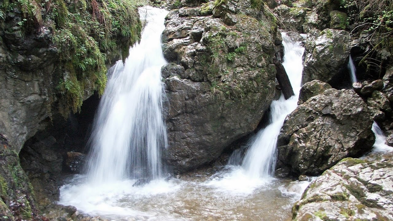
Saint Anne lake - Ciomat-Puturosu 38.2 km away. Lake Saint Anna is the only well-preserved volcanic crater lake in Eastern Europe. Here are some images from an afternoon outing.
Searching for rhododendrons - Ciucas Boulevard 41.8 km away. Red Mountain (Muntele Rosu), Gropsoarele-Zaganu ridge - Ciucas Mountains
Other places
Loreley and Pink Panther iron path Baia de Fier 202 km away. The Loreley via ferrata (graded B/C, with an elevation difference of approximately 100 m and a length of about 100 m) is located on the rock wall on the opposite side of the road. A branch from its upper section leads to the Pink Panther (Pantera Roz, graded A/B/C, approximately 200 meters long, with an elevation difference of about 50 meters).

Blasted Rock hanging path Cerna Valley 297 km away. The Blasted Rock (Piatra Puscata) hanging path is located on the geographical right bank of the Cerna River, near the confluence of the Iuta stream, approximately 20 km from Baile Herculane. In this area, the presence of limestone formations has caused the valley to become narrower.
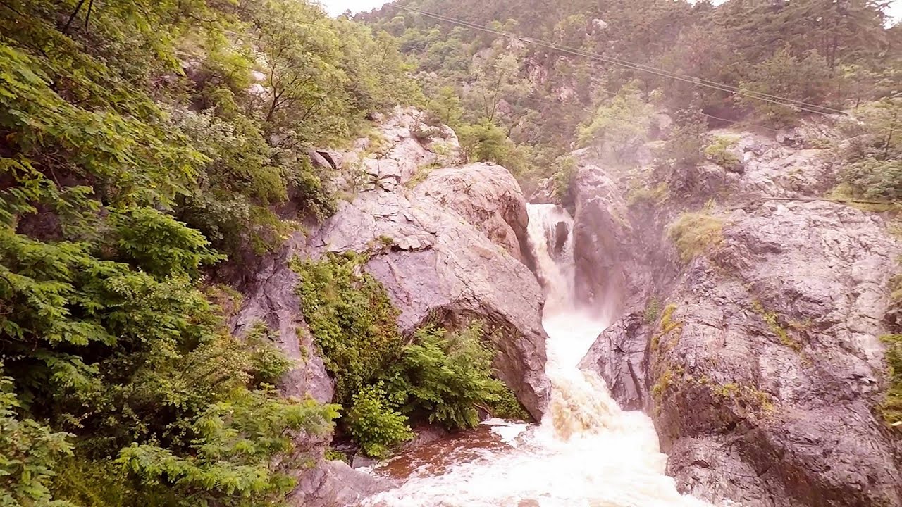
Waterfalls of Lapos creek Bicaz Gorge 110.8 km away. One of the lesser-known attractions of the Bicaz Gorges is the series of waterfalls along Lapos Creek. This creek flows between Cupas Stone and Bardos Stone before eventually merging with Bicaz Creek, forming spectacular waterfalls beneath the Altar Stone.

Stan Valley Canyon 132.8 km away. The Stan Valley is located near Lake Vidraru, southwest of it, in the Fruntii Mountains. Those who have visited the Seven Ladders Waterfall will appreciate this canyon, outfitted with infrastructure for tourist accessibility.
Belintash Ridge of Dobrostan, Rhodope Mountains 455.2 km away. Belintash is a mysterious monolithic complex located approximately 50 km from Plovdiv, passing through the scenic Rhodope Mountains. It is situated southeast of the village of Vrata and west of the village of Sini Vruh.
Suchurum waterfall Karlovo 371.4 km away. The 15-meter-high Suchurum Waterfall is located at the foot of the Stara Planina mountain range, 1 km north of the town of Karlovo in Bulgaria. It is situated below the Karlovo hydroelectric power plant, on the waters of the Stara Reka stream.
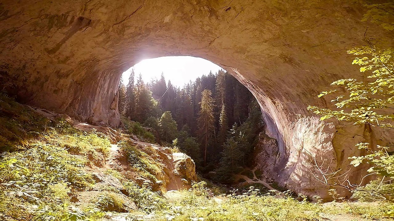
Amazing Bridges Zabardo 465.7 km away. The Amazing Bridges (Chudni Mostove, Wonderful Bridges) are natural stone bridges. They are located in the Rhodope Mountains, in the Smolyan Province of Bulgaria, within the valley of the Erkyupriya River, at an altitude of 1,450 meters above sea level.
Arched stone bridge Rugova Canyon Arched stone bridge - Rugova Canyon (Gryka e Rugoves).
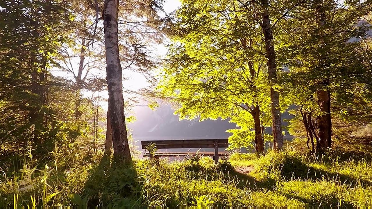
Leopoldsteiner lake Eisenerz, Steiermark Leopoldsteiner See is located in Styria, 4 km northwest of the town of Eisenerz. It lies at an elevation of 628 meters above sea level in the western part of the Hochschwab mountain range, at the foot of the Seemauer cliff.
[ Top ↑ ]
Copyright © 2003-2026 Trekkingklub and friends. Reproduction of any text, picture or video from this website, either in printed or electronic form, is prohibited without prior written permission. Website made with love  in Miercurea Ciuc.