Balvanyos Bath (Baile Balvanyos) - photos
Copyright © 2004 - 2025 Trekkingklub.com.
Already published 8162 photos and 136 videos. Please register for full access.
Photos of nearby places
[ Top ↑ ]
Videos of nearby places

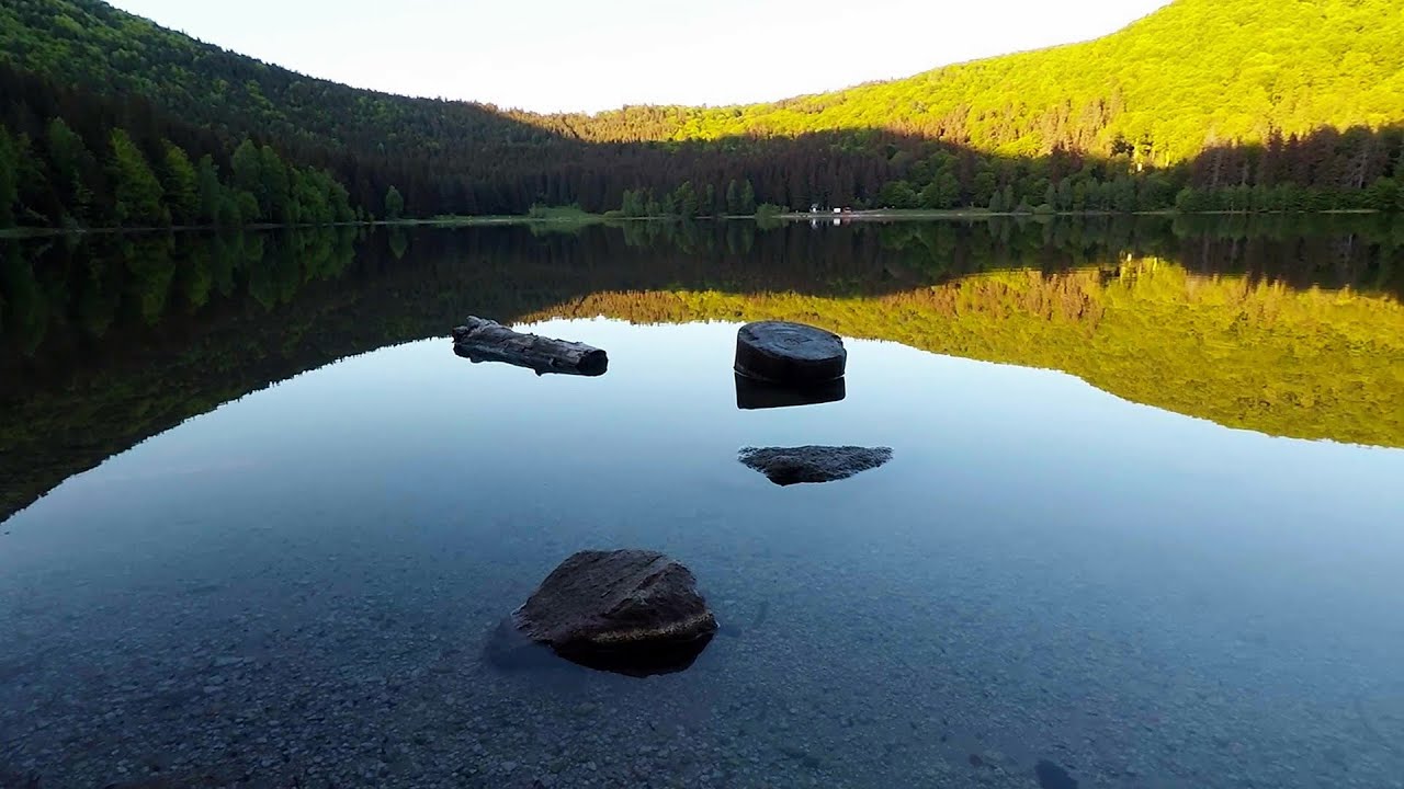
Saint Anne lake - Ciomat-Puturosu 5.37 km away
Lake Saint Anna is the only well-preserved volcanic crater lake in Eastern Europe. Here are some images from an afternoon outing.

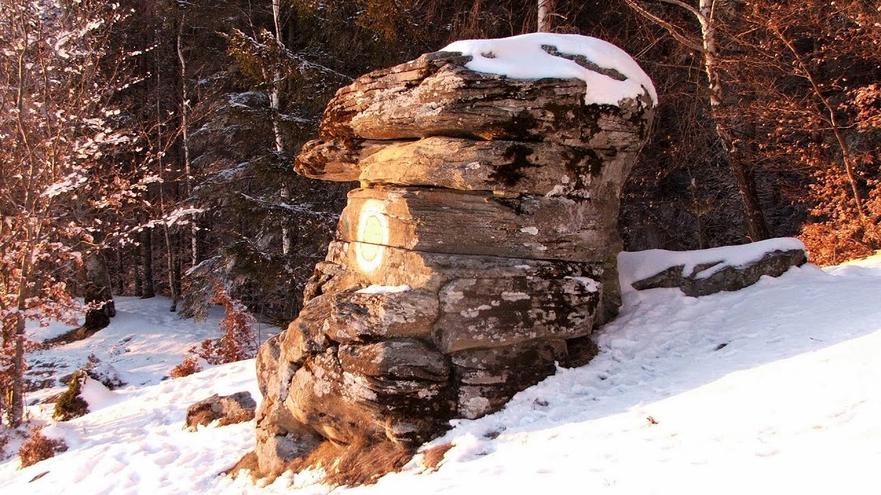
Preacher's Rock - Bodoc Mountains 10.92 km away
In the Bodoc Mountains, west-southwest from the Henter peak, we find a rock formation shaped like a mushroom by erosion, called Preacher's Rock. This 2-meter high rock probably got its name from the pagan Hungarian priests, who preached here in the past.

Walking to the top of Sumuleul Mare - Sumuleu Ciuc 30.46 km away
This was my first attempt at shooting a video.

Nobody's lake - Miercurea Ciuc 31.11 km away
The passage of time (time lapse), dusk at Nobody's Lake. Miercurea Ciuc and the Sumuleu mountain can be seen in the background.

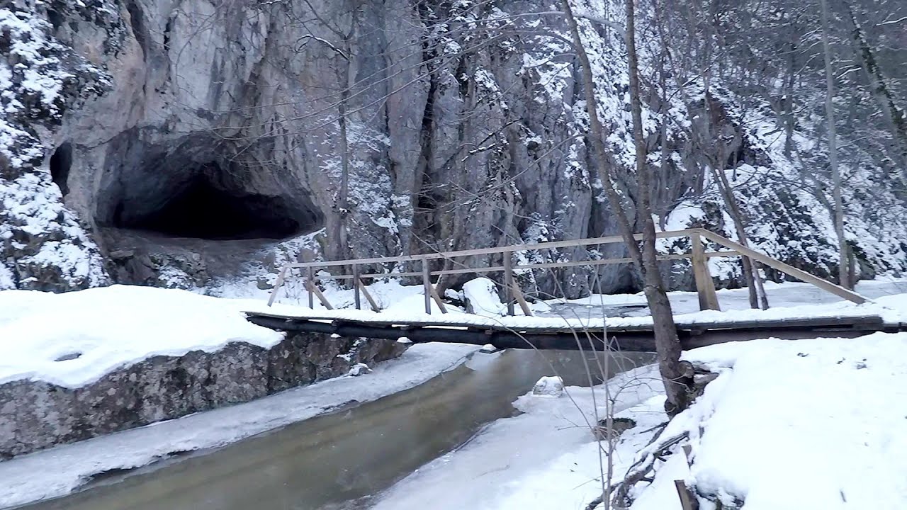
Varghis gorges in winter 33.69 km away
I went out to admire the ice stalagmites (standing icicles) in the Varghis Gorge. Anyone arriving here at the end of winter can observe meter-high ice stalagmites in the entrance area of Meresti Cave (now known as Orban Balazs Cave).
Other places
Rudariei watermills Eftimie Murgu 330.14 km away
I have visited the twenty-two wooden water mills with horizontal wheels, located in the valley of the Rudaria stream, mostly in the rain and under an umbrella. Some of them are still in use today.
I have visited the twenty-two wooden water mills with horizontal wheels, located in the valley of the Rudaria stream, mostly in the rain and under an umbrella. Some of them are still in use today.
Poienii Rock, north-eastern lookout point Bicaz Gorges 78.81 km away
From the viewpoint at the top of the northeastern wall of Poienii Rock in the Bicaz Gorges, we can look down 300 meters to the mouth of the Bicajel stream. The Bridge of the Hungarians is hidden among pine trees.
From the viewpoint at the top of the northeastern wall of Poienii Rock in the Bicaz Gorges, we can look down 300 meters to the mouth of the Bicajel stream. The Bridge of the Hungarians is hidden among pine trees.
Kaiser Franz-Josef Klettersteig Leopoldsteiner See 859.06 km away
The Franz-Josef Klettersteig is located on the Seemauer cliff face, which rises 900 meters above Leopoldsteiner Lake, in the western part of the Hochschwab mountain range, just 4 km from the town of Eisenerz. This via ferrata is named after the Kaisersteig, a hunting trail established for the esteemed Emperor Franz Joseph I of Austria and Hungary at the end of the 19th century, traces of which can still be observed today.
The Franz-Josef Klettersteig is located on the Seemauer cliff face, which rises 900 meters above Leopoldsteiner Lake, in the western part of the Hochschwab mountain range, just 4 km from the town of Eisenerz. This via ferrata is named after the Kaisersteig, a hunting trail established for the esteemed Emperor Franz Joseph I of Austria and Hungary at the end of the 19th century, traces of which can still be observed today.
Tapolca lake cave Balaton-felvidéki National Park 656.58 km away
The Tapolca lake cave is situated in the Balaton-felvidéki National Park. A modern visitor center has been constructed at its entrance, featuring ten rooms that highlight the unique characteristics of karst regions.
The Tapolca lake cave is situated in the Balaton-felvidéki National Park. A modern visitor center has been constructed at its entrance, featuring ten rooms that highlight the unique characteristics of karst regions.
[ Top ↑ ]
[ Top ↑ ]
Copyright © 2003-2025 Trekkingklub and friends. Reproduction of any text, picture or video from this website, either in printed or electronic form, is prohibited without prior written permission. Nearby settlements: Bixad 6.75 km away, Tourist attractions Bixad 6.75 km away. The given distances are to be understood as straight line distances, and are approximate. Website made in Miercurea Ciuc  .
.
 .
.


