Thermal waterfall - Gurghiu Mountains | Photos


Page no. 1, photos: 1-4, 4 photos in total.

Copyright © 2008 - 2026 Trekkingklub.com. Please register for full and ad-free access.
Airport nearby: Transilvania International Airport (TGM - Recea, Ro), 87 km away.
Photos of nearby places


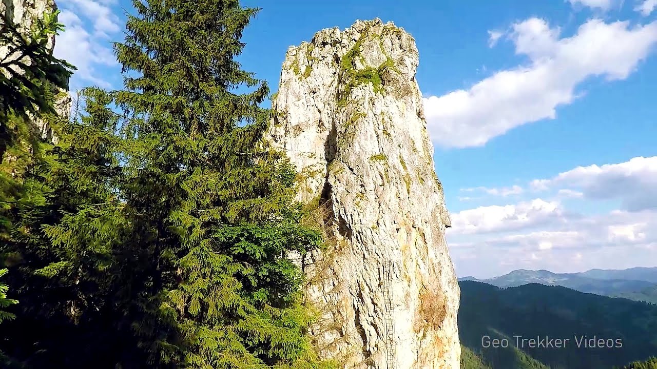
The Old Women of Gurghiu stone mushrooms, Batrana Peak (16 photos) 8.1 km away. The Old Women of Gurghiu (Babele Gurghiului) stone mushrooms, Batrana Peak (Varful Batrana). In the Gurghiu Mountains, 10 km from Toplita, near the peak Batrana, there are several groups of strange rocks.

Bears cave, Ice Grotto - Borsec (12 photos) 17.3 km away. The Bears' cave is actually a deep rock fissure with a path leading into it. Local belief long considered it to be the habitat of bears, which is where the name comes from.

Borsec spa resort (9 photos) 17.5 km away. Borsec is one of the most beautifully situated resorts in the Eastern Carpathians. It consists of two parts: Lower Borsec and Upper Borsec, the latter being the actual resort area.

Stalactite Cave - Round Chair Hill, Borsec, Giurgeu Mountains (24 photos) 17.8 km away. The Stalactite Cave on the Round Chair Hill is the longest cave formed in travertine in the country. Its formation was mainly influenced by an open system of diaclases, which fragmented the travertine, with the contribution of infiltrated rainwater being essential in the transport and dissolution of limestone.


The Valleys of the Streams of the Cups and Rogozu (6 photos) 21.8 km away. The Valleys of the Streams of the Cups (Cupelor, Kupás) and Rogozu (Szacskai) - Borsec. September 7, 2003; September 14, 2003; November 10, 2007.


[ Top ↑ ]
Videos of nearby places
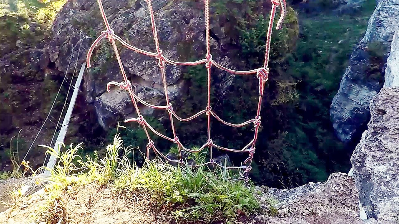
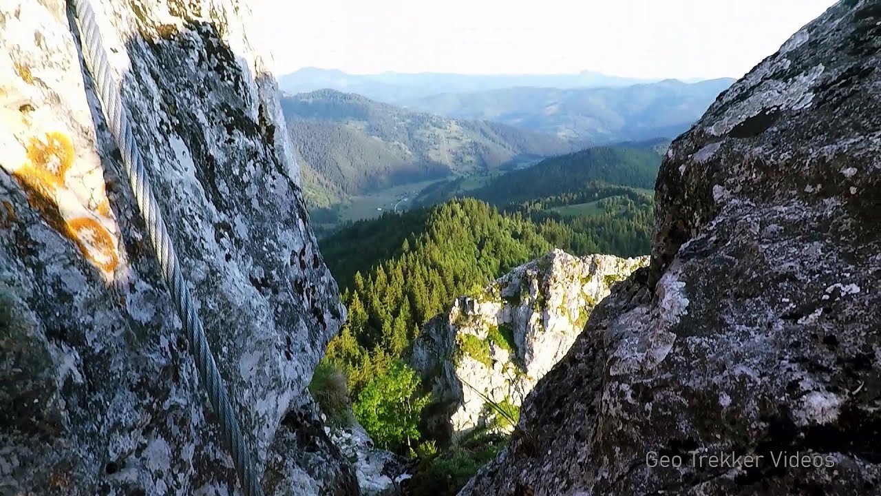
Via ferrata Bear Cave adventure and climbing zone - Borsec 17.3 km away. The Bear Cave in Borsec is a vast natural formation, scattered with rocks and deep crevices. Access to the cave's cavities is through a series of narrow formations resembling canyons, surrounded by giant fir trees and rocks with interesting shapes.
Pricske peak - Giurgeu Mountains 24.1 km away. If we want to reach Pricske (Prisca) peak, which rises above Gheorgheni and Lazarea, we start from the valley of the Güdüc (Ghidut) stream. Our path leads us past the ruins of a building known as the White House.
With snowshoes in the Tihu creek valley - Rastolita 26.7 km away. We met geotrekking treasure hunters from Gheorgheni, Miercurea Ciuc and Targu Mures in Rastolita. We entered the Calimani Mountains with an off-road vehicle, along the Rastolita and Tihu streams.
Falco Tinnunculus via ferrata, the ascent - Falcons Rock, Corbu 28.8 km away. Falco Tinnunculus (Common kestrel) via ferrata (E), the ascent - Falcon's Rock, Corbu. Over Corbu village in Harghita County, on the rocks of Falcon's Rock (Piatra Soimilor), which belong to the Bistrita Mountains, five via ferrata routes have been established.
Falco Peregrinus 2 via ferrata - Falcons Rock, Corbu 28.8 km away. Falco Peregrinus (Peregrine falcon) 2 via ferrata (D) - Falcon's Rock, Corbu.
Other places
Laura iron path Baia de Fier 228.2 km away. Laura iron path (E) - Baia de Fier.
Via Ferrata Fairy Castle Vadu Crisului 215.5 km away. Via Ferrata Fairy Castle (Castelul Zanelor, Casa Zmeului, The House of the Dragon) - Vadu Crisului. South of Vadu Crisului, in the Padurea Craiului Mountains, lies the Vadu Crisului Gorge, a section of the Crisul Repede river that narrows between rocky walls.
Babsko Praskalo waterfall Tazha 469.1 km away. In the Central Balkans National Park, there are many rivers that cascade down spectacular waterfalls, which the locals call praskalo. One of the smallest waterfalls in the area is Babsko Praskalo, which stands at only 54 meters high.
Roman Baths Cetea, Trascau Mountains 156.2 km away. Roman Baths (Baile Romane) - Cetea, Trascau Mountains. Among the valleys of the Trascau Mountains, the Cetea Gorge best deserves the name of a crevice valley.
Winds iron path Baia de Fier 228 km away. The Wind's iron path (Via ferrata Vanturilor, D) is the via ferrata route number 11 in the Baia de Fier - Polovragi area. The sign at the base of the route was installed on February 9, 2020.
Balea waterfall and the Transfagarasan mountain_road 153.8 km away. Balea waterfall and the Transfagarasan mountain road - blue triangle marked trail, Balea valley, Fagaras Mountains, Southern Carpathians.
Lipovac via ferrata and monastery of Saint Stephen 463.4 km away. Difficulty level B, total length: 190 m, height difference: 90 m, year of construction: 2022. It is necessary to contact the PSK Brđanka club to obtain the key for the ladders at the entrance of the via ferrata.
Boli Cave Banita 225.8 km away. The Boli Cave is located 6 km north of Petrosani, on the road that connects Hateg with the Jiu Valley. Here, the railway line that connects the two parts of Hunedoara County passes through, featuring a total of 66 curves and 8 tunnels.
Foamy valley waterfall Bucegi Mountains 168.3 km away. Access to the Foamy valley waterfall (Cascada Valea Spumoasa) is made from the town of Busteni. The starting point is the lower station of the cable car that ascends to the Babele cabin.
Stan Valley Canyon 182 km away. The Stan Valley is located near Lake Vidraru, southwest of it, in the Fruntii Mountains. Those who have visited the Seven Ladders Waterfall will appreciate this canyon, outfitted with infrastructure for tourist accessibility.
Acapulcos spur via ferrata 212.9 km away. Acapulco's spur (Pintenul lui Acapulco) via ferrata (B/C) - Montana Land, Suncuius.
Transalpina Ski Resort Vidra lake 209.5 km away.
Doabra Stones Brezoi, Lotru Mountains 193.5 km away. The DN7A road branches off west from the Olt Valley, from the main road between Sibiu and Ramnicu Valcea, leading towards Voineasa and Lake Vidra. The first settlement is a small town, Brezoi, which is located at the confluence of the Lotru and Olt rivers.
Virus and Antivirus iron paths Baia de Fier 228.1 km away. With Virus (B/C) and Antivirus (C), the number of via ferrata routes at Baia de Fier has increased to thirteen. In fact, it is a Y-shaped route that starts near the entrance of the Laura via ferrata, and the exits are located just a few meters from the Laura exit.
Belogradchik fortress 421.8 km away. Belogradchik is located in the northwestern part of Bulgaria, in the Vidin Province, at the foot of the Balkan Mountains, near the Serbian border. Its name means little white town.
[ Top ↑ ]
Copyright © 2003-2026 Trekkingklub and friends. Reproduction of any text, picture or video from this website, either in printed or electronic form, is prohibited without prior written permission.
The given distances are to be understood as straight line distances, and are approximate. Website made in Miercurea Ciuc  .
.