Deubels path - Piatra Craiului Mountains | Photos


Page no. 1, photos: 1-6, 36 photos in total. >>>

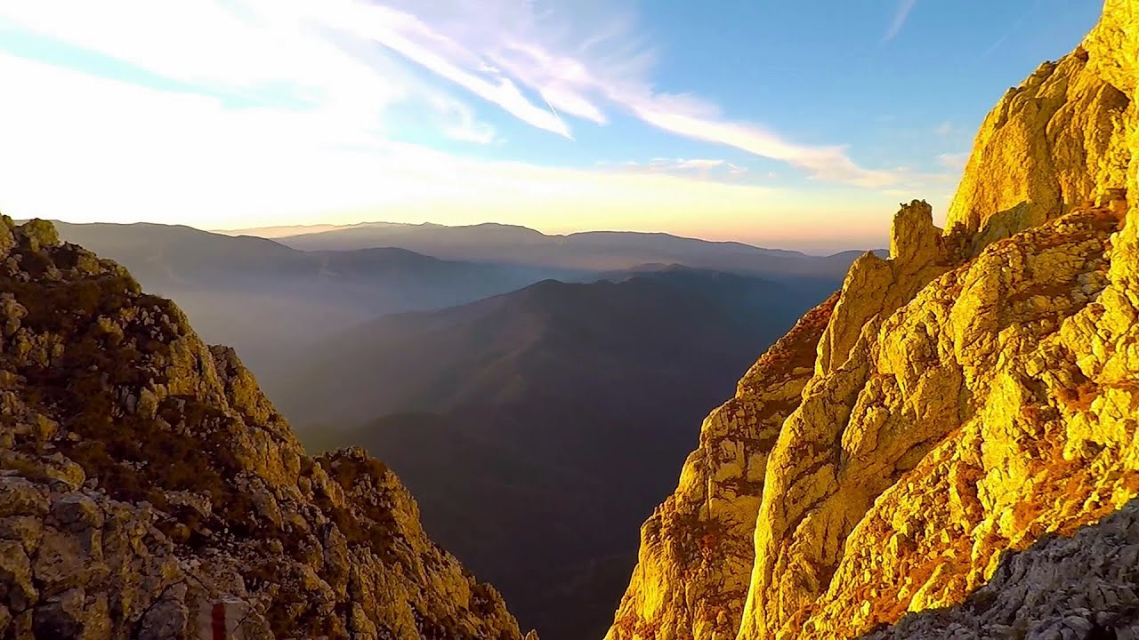
Plaiul Foii - Deubel cavities (La Zaplaz) - Grind saddle. Deubel's path - Piatra Craiului Mountains (King Rock).
Copyright © 2005 - 2026 Trekkingklub.com. Please register for full and ad-free access.
Airport nearby: Ghimbav International Airport (GHV - Brașov (Ghimbav), Ro), 32 km away.
Photos of nearby places

The shoulder of Piatra Craiului Mountains (36 photos) 0.8 km away. The shoulder of Piatra Craiului Mountains (King Rock's Shoulder).

Southern ridge - Piatra Craiului Mountains (42 photos) 1.3 km away. Southern ridge - Piatra Craiului Mountains (King Rock).

Middle Belt Trail - Piatra Craiului Mountains (114 photos) 2 km away. Ravine valley of Calinet (Padina lui Calinet) - Thermopylae - Anghelide's canyon, Piatra Craiului Mountains (King Rock).

Cave of Stanciu - Piatra Craiului Mountains (10 photos) 2.3 km away. Cave of Stanciu (Pestera Stanciului) - Piatra Craiului Mountains (King Rock).

Stanciu rock porch - Piatra Craiului Mountains (18 photos) 2.4 km away. Stancius rock porch (Ceardacul Stanciului) - Piatra Craiului Mountains (King Rock).

Border Ravine Valley, Northern ridge (53 photos) 2.7 km away. Border Ravine Valley (Padina Hotarului), Northern ridge - Piatra Craiului Mountains (King Rock).

Northern ridge - Piatra Craiului (11 photos) 2.7 km away. Northern ridge - Piatra Craiului Mountains (King Rock).

The Cats Gorge - Curmatura Cabin (20 photos) 4.8 km away. The Cat's Gorge - Valley of the Gorge Stream - Curmatura Cabin - Rift Saddle.

Tower of King Rock - Piatra Craiului Mountains (15 photos) 5.1 km away. Border Ravine Valley (Padina Hotarului), Turm des Königstein (Turnul Pietrei Craiului).

Little King Rock - Piatra Craiului Mountains (14 photos) 5.5 km away. Little King Rock (Piatra Mica) - Piatra Craiului Mountains (King Rock).

Zarnesti precipice - Piatra Craiului Mountains (16 photos) 5.6 km away. Zarnesti precipice (Prapastiile Zarnestilor) - Piatra Craiului Mountains (King Rock).

Zarnesti Gorge - Piatra Craiului Mountains (6 photos) 5.6 km away. Zarnesti Gorge (Prapastiile Zarnestilor) - Piatra Craiului Mountains.
[ Top ↑ ]
Videos of nearby places
Deubels path - Piatra Craiului Mountains 0 km away. Deubels path - Piatra Craiului Mountains (Kings Rock).

Dino Parc Rasnov 22.3 km away. On June 12, 2015, one of the largest dinosaur theme parks in the region opened in Rasnov, where we can see 45 life-sized dinosaurs. The facility is located directly next to the Rasnov Fortress, which is one of the best-preserved Transylvanian Saxon peasant fortresses.

Small Via ferrata - Rasnoavei Gorge 24.6 km away. In the past few days, it has snowed, so I climbed the two climbing routes in the Rasnoavei Gorge under winter conditions. While the lower part of the challenging Big via ferrata was dry, the upper section had patches of snow and icicles.

Big Via ferrata Rasnoavei Gorge 24.6 km away. The most dangerous Eastern European iron path, and also one of the most beautiful via ferrata routes in Romania, is in the Rasnoavei Gorges, Postavaru Mountains.The route is 450 m long, with a level difference of 220 m.
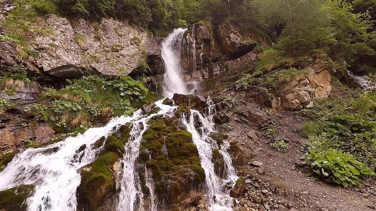
Foamy valley waterfall - Bucegi Mountains 27.4 km away. Access to the Foamy valley waterfall (Cascada Valea Spumoasa) is made from the town of Busteni. The starting point is the lower station of the cable car that ascends to the Babele cabin.
Other places
Mucanj via ferrata and the Boze Javorca cave Ravna Gora 464.5 km away. Difficulty level C/D, total length: 500 m, height difference: 200 m, year of construction: 2022. The via ferrata is free to climb.
Devils Mill Gorge Campulung Moldovenesc 218.9 km away. The Devil's Mill Gorge is relatively short, measuring only 60 to 70 meters in length. It was formed in yellowish-gray-white dolomite by the work of a stream that crosses the gorge, as a result of erosion and the dissolution characteristic of limestone.
Durdevica via ferrata and the canyon of the Ibar river Ribarice 474.3 km away. Difficulty level C/D (D/E), total length: 700 m, height difference: 200 m, year of construction: 2024. For experienced climbers with their own equipment, the registration fee is 5 euros per person.
Virus and Antivirus iron paths Baia de Fier 119.1 km away. With Virus (B/C) and Antivirus (C), the number of via ferrata routes at Baia de Fier has increased to thirteen. In fact, it is a Y-shaped route that starts near the entrance of the Laura via ferrata, and the exits are located just a few meters from the Laura exit.
Wild Ferenc iron path Suhardul Mic 148.5 km away. While I climbed the new iron path mostly in the dark for the first time, this time I managed to explore it during the day. But I still missed the sunset by a few minutes.
Thracian stone sharapani Nochevo 405.8 km away. Sharapani is a traditional stone container used by ancient Thracians for processing grapes in wine production. Two well-preserved sharapani containers are located about 200 meters apart.
SkiGyimes ski slope Lunca de Sus 124.9 km away. It is well-known that in Rimetea, due to the Piatra Secuiului (Szekler's Rock) mountain, the Sun rises twice. However, perhaps few know that in Lunca de Sus, the Sun sets three times.
Hilis cave Turda Gorge via ferrata 164.9 km away. While the first time I climbed this via ferrata (Sky Fly) in the morning, now I climbed it in the light of the setting sun. The red-dressed rocks created a special atmosphere, and I could admire the sunset from the top of the climbing route.
Waterfalls of Lapos creek Bicaz Gorge 150.4 km away. One of the lesser-known attractions of the Bicaz Gorges is the series of waterfalls along Lapos Creek. This creek flows between Cupas Stone and Bardos Stone before eventually merging with Bicaz Creek, forming spectacular waterfalls beneath the Altar Stone.
Pietraru pottery Horezu 103 km away.
Drina river house Bajina Bašta 476.8 km away. The house visible on the Drina River (Kućica na Drini) is a unique wooden structure built on a rock in the middle of the river, near Bajina Bašta, Serbia. The house is located on the border between Serbia and Bosnia-Herzegovina, close to the border line between the two countries.
Sumuleu-Ciuc in winter 106.3 km away. Sumuleu-Ciuc (Csíksomlyó) in winter.
Gods bridge Vratsa 278.6 km away. Anyone who has been to Bulgaria may be familiar with the Prohodna Cave, affectionately known as the Eyes of God; the Devetashka Cave, illuminated by seven windows in its ceiling. And perhaps they have also seen the Wonderful Bridges in the Rhodope Mountains.
Berim via ferrata Zubin Potok 469.4 km away. Difficulty level D, total length: 4 km, height difference: 520 m, year of construction: 2015. Climbing season: May 1 - October 30.
Meziad cave Padurea Craiului Mountains 250.8 km away. The Meziad Cave is located near the village of Meziad, 22 km north of Beius, in the Padurea Craiului Mountains. It is one of our first tourist caves, its exploration is associated with the name of Gyula Czárán, cave researcher and writer.
[ Top ↑ ]
Copyright © 2003-2026 Trekkingklub and friends. Reproduction of any text, picture or video from this website, either in printed or electronic form, is prohibited without prior written permission.
The given distances are to be understood as straight line distances, and are approximate. Website made in Miercurea Ciuc  .
.