Tourist attractions near Ponor (Ponor, Alba county, Romania)
Photos of nearby places

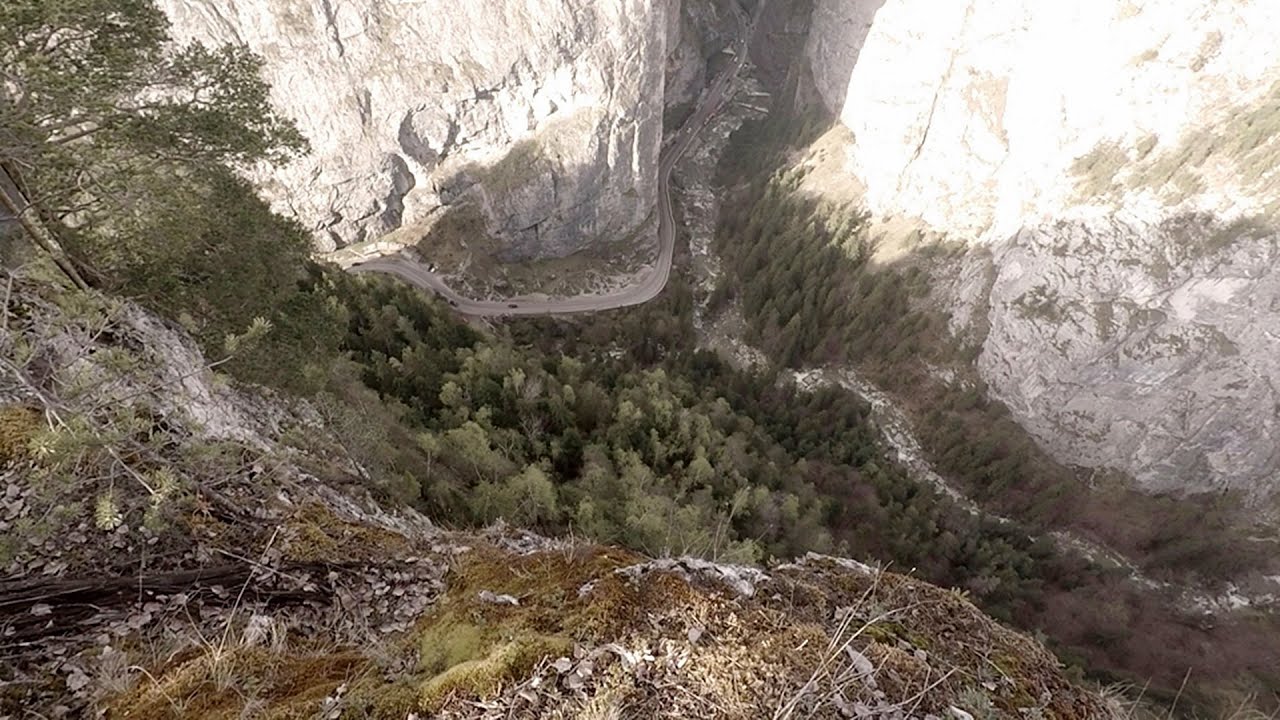
Dark Blue Bruises of the Ponor - Trascau Mountains (16 photos) 5.9 km away. The Dark Blue Bruises of the Ponor (Vanatarile Ponorului) is a polje-type protected area. Polje is a Slovenian word meaning plain, and it refers to a surface karst form.

Goats Ledge - Trascau Mountains (10 photos) 6.1 km away. Goats Ledge (Brana Caprei, Kecskék párkánya) - Trascau Mountains .

Dark Blue Bruises of the Ponor, Bedeleu (24 photos) 8.4 km away. Dark Blue Bruises of the Ponor (Vanatarile Ponorului), Bedeleu - Trascau Mountains.

Balcony Clearing - Trascau Mountains (6 photos) 9.2 km away. Balcony Clearing (Erkély-tisztás, Balconul Sipotelor) - Trascau Mountains.

Stone of Cetea, Horse Pit - Trascau (16 photos) 10.1 km away. Stone of Cetea, Horse Pit (The pit cave from the Stone of Cetea) - Trascau Mountains.

Aries valley - Trascau Mountains (10 photos) 10.3 km away. Aries (Golden) valley - Trascau Mountains.

Goat Stone - Craiva, Trascau Mountains (18 photos) 15.2 km away. Goat Stone (Piatra Craivii, Piatra Craivei, Apulon) - Craiva, Trascau Mountains.

Szekler Stone North - Trascau Mountains (8 photos) 18.8 km away. Szekler Stone North (Piatra Secuilor Nord) - Trascau Mountains.

Szekler Stone - Trascau Mountains (42 photos) 18.8 km away. Szekler Stone (Székely-kő, Piatra Secuilor) - Trascau Mountains.

Turda Gorge - Trascau Mountains (9 photos) 33.1 km away. Turda Gorge (Cheile Turzii) - Trascau Mountains.

Turda Gorge - Trascau Mountains (11 photos) 33.1 km away. Turda Gorge (Cheile Turzii) - Trascau Mountains.

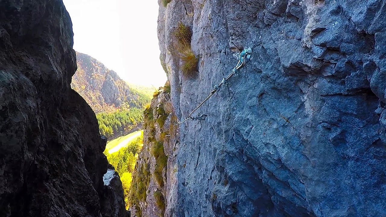
Turda Gorge via ferrata (24 photos) 33.1 km away. Turda Gorge iron path (Via ferrata Cheile Turzii) - Trascau Mountains.

Tureni Gorge iron path visiting route (24 photos) 38.4 km away. Tureni Gorge iron path visiting route (via ferrata) - Trascau Mountains.


Spherical concretions from Feleac (18 photos) 43.5 km away. The spherical concretions from Feleac are sedimentary rock materials that were cemented together to form a hard structure. The surrounding sediments slowly erode away, exposing the concretion.


[ Top ↑ ]
Videos of nearby places
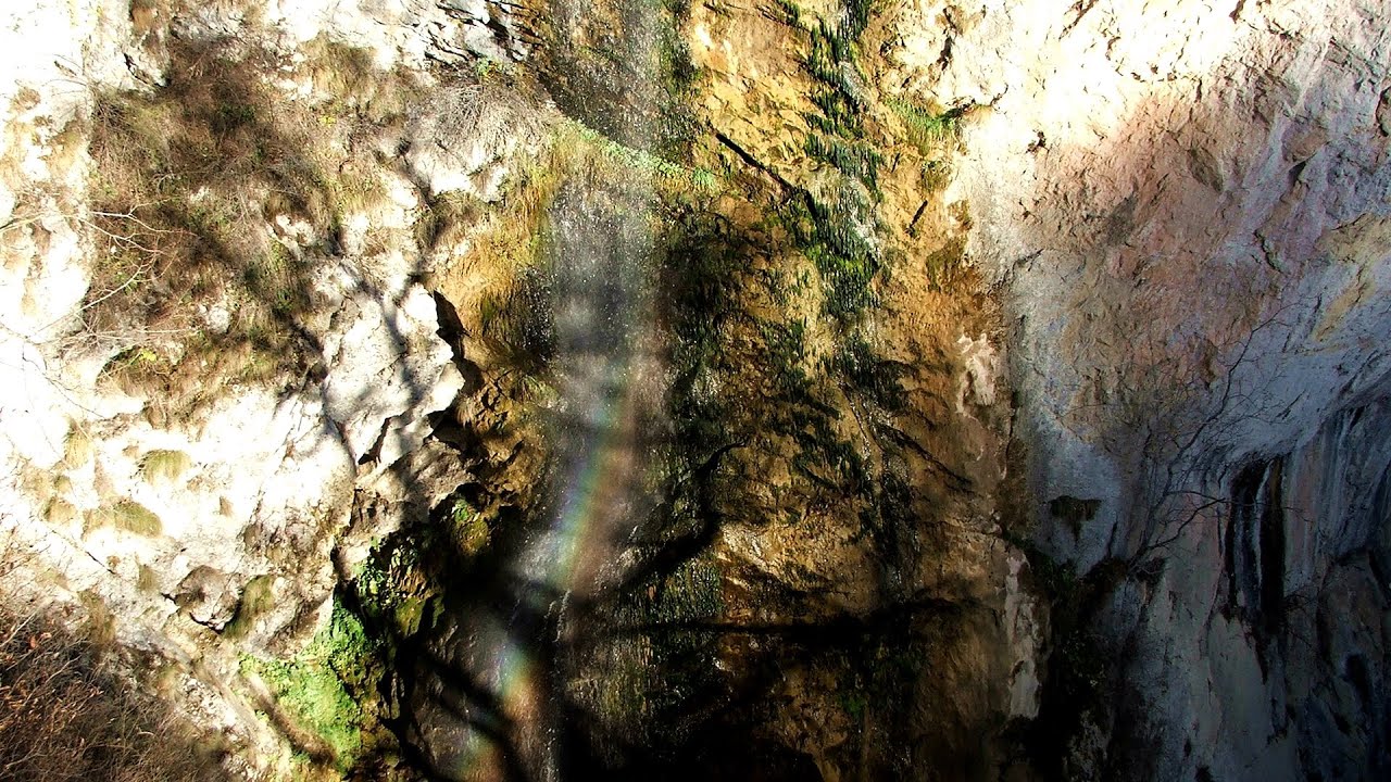
Dalbina waterfall, Dark Blue Bruises of the Ponor 5.9 km away. Dalbina waterfall, Dark Blue Bruises of the Ponor (Vanatarile Ponorului).
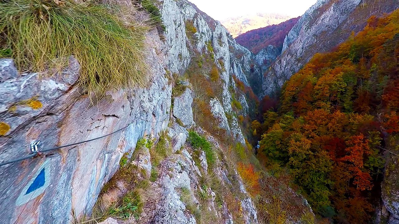
Goats Ledge iron path - Ramet Gorge 6.1 km away. Via ferrata Goats Ledge (Brana Caprei) iron path - Ramet Gorge, Trascau Mountains.

Huda lui Papara cave - Salciua de Jos 6.8 km away. Huda lui Papara cave (Paparas Hole) - Salciua de Jos, Trascau Mountains.
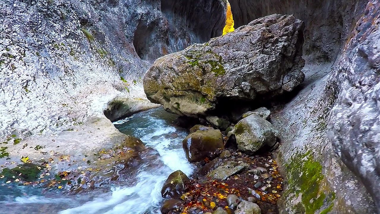
Ramet Gorge - Goagiu Creek 7 km away. Ramet Gorge (Cheile Rametului) - Goagiu Creek (Paraul Goagiu), Trascau Mountains. The Ramet Gorge is the wildest canyon in the Trascau Mountains.

Other places

Preachers Rock Bodoc Mountains 195 km away. In the Bodoc Mountains, west-southwest from the Henter peak, we find a rock formation shaped like a mushroom by erosion, called Preacher's Rock. This 2-meter high rock probably got its name from the pagan Hungarian priests, who preached here in the past.

Middle Belt via ferrata route Baia de Fier 130.1 km away. Middle Belt (Spirala Medie) via ferrata route - Baia de Fier. In May 2018, two new via ferrata routes were inaugurated in Baia de Fier.
Poienii Rock, north-eastern lookout point Bicaz Gorge 192.5 km away. From the viewpoint at the top of the northeastern wall of Poienii Rock in the Bicaz Gorges, we can look down 300 meters to the mouth of the Bicajel stream. The Bridge of the Hungarians is hidden among pine trees.


Saint Anne lake Ciomat-Puturosu 192.5 km away. Lake Saint Anna is the only well-preserved volcanic crater lake in Eastern Europe. Here are some images from an afternoon outing.
Via ferrata Rio Sallagoni Drena, Italia The surrounding iron climbing routes are located on rock walls exposed to a scorching sun. But the Rio Sallagoni via ferrata goes upwards in a pleasantly cool gorge, above the creek and waterfalls, and eventually reaches the Drena Castle.
Belintash Ridge of Dobrostan, Rhodope Mountains Belintash is a mysterious monolithic complex located approximately 50 km from Plovdiv, passing through the scenic Rhodope Mountains. It is situated southeast of the village of Vrata and west of the village of Sini Vruh.
[ Top ↑ ]
Copyright © 2003-2026 Trekkingklub and friends. Reproduction of any text, picture or video from this website, either in printed or electronic form, is prohibited without prior written permission. Website made with love  in Miercurea Ciuc.