Tourist attractions near Zarnesti (Zarnesti, Brasov county, Romania)
Photos of nearby places

Little King Rock - Piatra Craiului Mountains (14 photos) 4.3 km away. Little King Rock (Piatra Mica) - Piatra Craiului Mountains (King Rock).

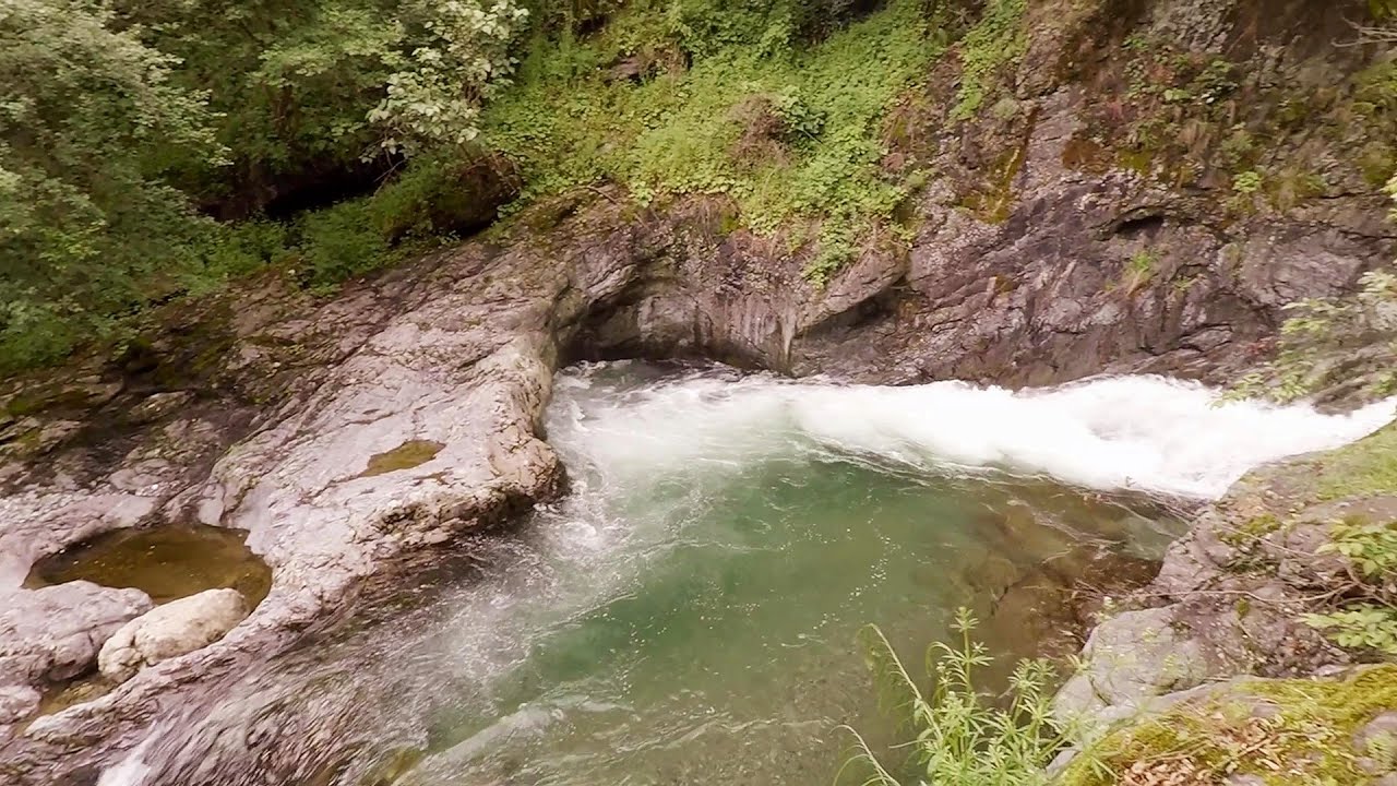
The Cats Gorge - Curmatura Cabin (20 photos) 5 km away. The Cat's Gorge - Valley of the Gorge Stream - Curmatura Cabin - Rift Saddle.

Tower of King Rock - Piatra Craiului Mountains (15 photos) 5.2 km away. Border Ravine Valley (Padina Hotarului), Turm des Königstein (Turnul Pietrei Craiului).

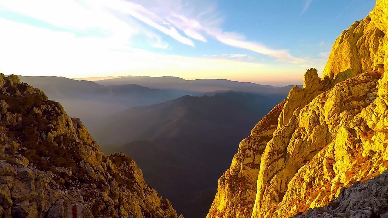
Zarnesti precipice - Piatra Craiului Mountains (16 photos) 5.5 km away. Zarnesti precipice (Prapastiile Zarnestilor) - Piatra Craiului Mountains (King Rock).

Zarnesti Gorge - Piatra Craiului Mountains (6 photos) 5.5 km away. Zarnesti Gorge (Prapastiile Zarnestilor) - Piatra Craiului Mountains.

Border Ravine Valley, Northern ridge (53 photos) 7.3 km away. Border Ravine Valley (Padina Hotarului), Northern ridge - Piatra Craiului Mountains (King Rock).

Northern ridge - Piatra Craiului (11 photos) 7.3 km away. Northern ridge - Piatra Craiului Mountains (King Rock).

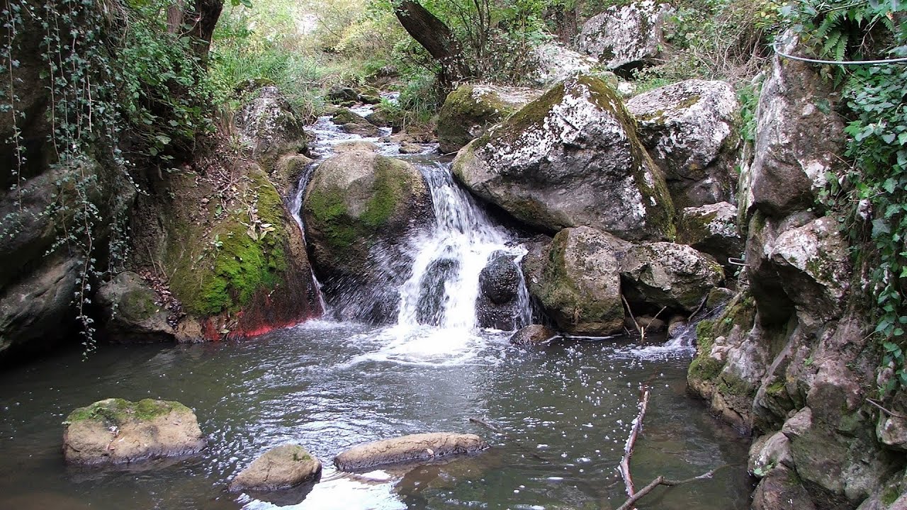
Middle Belt Trail - Piatra Craiului Mountains (114 photos) 8.3 km away. Ravine valley of Calinet (Padina lui Calinet) - Thermopylae - Anghelide's canyon, Piatra Craiului Mountains (King Rock).

Deubels path - Piatra Craiului Mountains (36 photos) 9.7 km away. Plaiul Foii - Deubel cavities (La Zaplaz) - Grind saddle. Deubel's path - Piatra Craiului Mountains (King Rock).

Southern ridge - Piatra Craiului Mountains (42 photos) 10.4 km away. Southern ridge - Piatra Craiului Mountains (King Rock).

The shoulder of Piatra Craiului Mountains (36 photos) 10.4 km away. The shoulder of Piatra Craiului Mountains (King Rock's Shoulder).

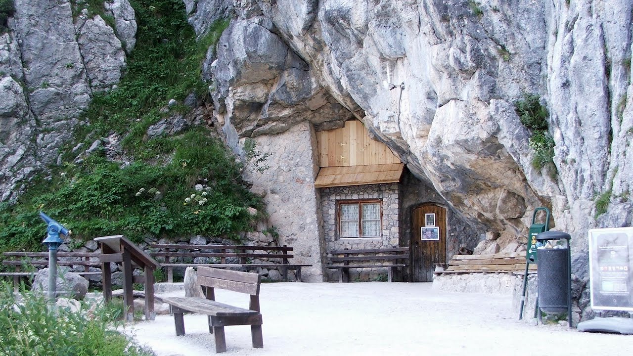
Cave of Stanciu - Piatra Craiului Mountains (10 photos) 11.3 km away. Cave of Stanciu (Pestera Stanciului) - Piatra Craiului Mountains (King Rock).

Stanciu rock porch - Piatra Craiului Mountains (18 photos) 11.3 km away. Stancius rock porch (Ceardacul Stanciului) - Piatra Craiului Mountains (King Rock).

Ciubotea-Scara - Bucegi Mountains (24 photos) 15.4 km away. Ciubotea clearing - Scara peak - Omu peak - Gaura sheepfold.

Great Bucsoi Mountain, Omu Peak - Bucegi (24 photos) 16.2 km away. Great Bucsoi Mountain (Bucsoiul Mare), Omu Peak (Varful Omu) - Bucegi Mountains.

Omu Peak, chamois - Bucegi Mountains (18 photos) 16.8 km away. Omu Peak (Varful Omu), chamois - Bucegi Mountains.

Turkish Mosque Rock - Bucegi Mountains (6 photos) 17.1 km away. Turkish Mosque Rock (Mecetul Turcesc) - Bucegi Mountains.

The source region of the Jalomita River - Bucegi Mountains (14 photos) 17.2 km away. The source region of the Jalomita River (Obarsia Ialomitei) - Bucegi Mountains.

Valley of the Slim Figures - Bucegi Mountains (5 photos) 19.2 km away. Valley of the Slim Figures (Valea Sugarilor) - Bucegi Mountains.


Ladies Valley - Bucegi Mountains (12 photos) 19.9 km away. Ladies Valley (Valea Doamnele) - Bucegi Mountains.

[ Top ↑ ]
Videos of nearby places
Deubels path - Piatra Craiului Mountains 9.7 km away. Deubels path - Piatra Craiului Mountains (Kings Rock).

Dino Parc Rasnov 12.6 km away. On June 12, 2015, one of the largest dinosaur theme parks in the region opened in Rasnov, where we can see 45 life-sized dinosaurs. The facility is located directly next to the Rasnov Fortress, which is one of the best-preserved Transylvanian Saxon peasant fortresses.

Small Via ferrata - Rasnoavei Gorge 15.6 km away. In the past few days, it has snowed, so I climbed the two climbing routes in the Rasnoavei Gorge under winter conditions. While the lower part of the challenging Big via ferrata was dry, the upper section had patches of snow and icicles.

Big Via ferrata Rasnoavei Gorge 15.7 km away. The most dangerous Eastern European iron path, and also one of the most beautiful via ferrata routes in Romania, is in the Rasnoavei Gorges, Postavaru Mountains.The route is 450 m long, with a level difference of 220 m.

Ski resort - Poiana Brasov - Postavarul Mountains 18.5 km away. Shining sun and an Austria-feeling on the impeccable slopes of the ski paradise Poiana Brasov above Brasov. Sunbathing, coffee and refreshing drinks on the terrace of Julius Römer chalet.
Other places
Byala Reka eco-trail Kalofer 324 km away. The Byala Reka eco-trail is situated at the foot of the Stara Planina mountain range, 8 km from the town of Kalofer. A 1,830-meter-long hiking trail has been established along the White Creek within the Central Balkan National Park.
Turcinovac via ferrata and cave Ovcar Banja 444.3 km away. Difficulty level B, total length: 60 m, height difference: 45 m, year of construction: 2010. Climbing the via ferrata is only permitted with the approval of the Extreme Sports Club Armadillo from Cacak, and there is a fee for it.
Giant Ice Cave Dachstein Salzkammergut, Obertraun am Hallstättersee The second cave accessible to the public at the Schönbergalm above Obertraun on Lake Hallstatt is the Giant Ice Cave (Rieseneishöhle). For me, it was more spectacular than the Mammoth Cave.
Tureni Gorge iron path 170.4 km away. Tureni Gorge iron path visiting route (Via ferrata Cheile Tureni), Trascau Mountains.
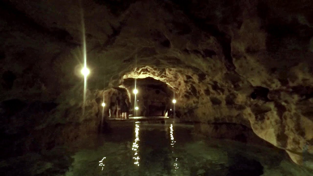
Tapolca lake cave Balaton-felvidéki National Park The Tapolca lake cave is situated in the Balaton-felvidéki National Park. A modern visitor center has been constructed at its entrance, featuring ten rooms that highlight the unique characteristics of karst regions.
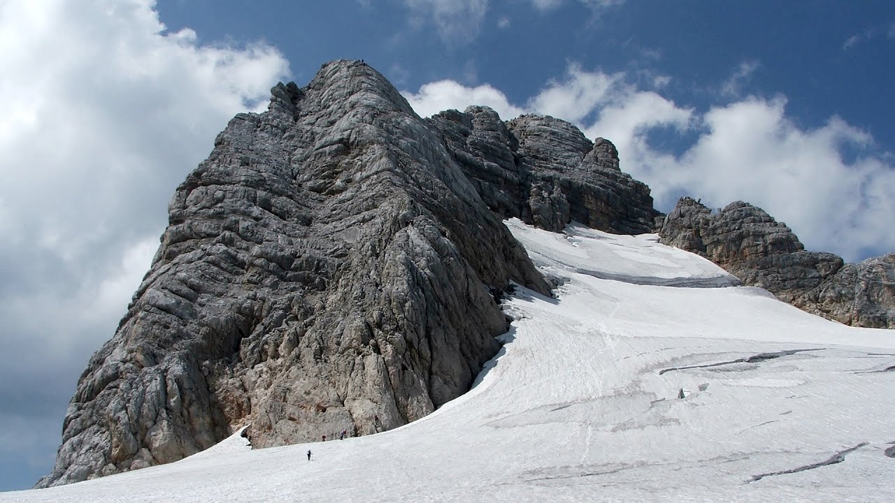
Schulter Anstieg klettersteig Hoher Dachstein Two routes lead to the top of the Hoher Dachstein. The Randkluft is shorter, but can only be reached through a glacier with cracks.
Thracian stone sharapani Nochevo 409.6 km away. Sharapani is a traditional stone container used by ancient Thracians for processing grapes in wine production. Two well-preserved sharapani containers are located about 200 meters apart.
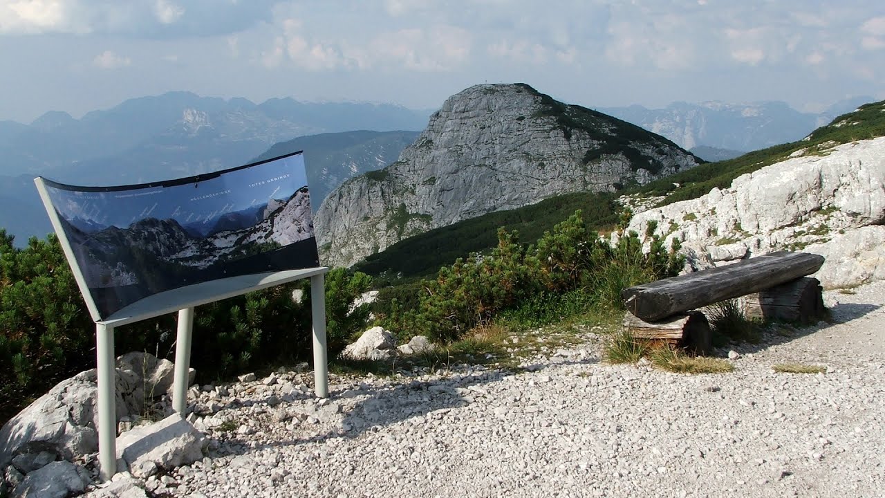
Five Fingers, World NATURE Heritage Lookout, World Heritage Spiral, Dachstein Shark The second station of the cable car departing from Obertraun is the Krippenstein peak (2100 m). Here you can find the famous Five Fingers (5fingers) lookout, which offers a unique view of Hallstatt and Obertraun below, as well as the Hallstättersee lake.

Shipka pass Shipka 312.8 km away. The Shipka Pass is one of the most spectacular crossings of the Balkan Mountains, and is part of the Bulgarka Nature Park. It separates the provinces of Gabrovo and Stara Zagora, and provides a connection between the cities of Gabrovo and Kazanlak.
[ Top ↑ ]
Copyright © 2003-2026 Trekkingklub and friends. Reproduction of any text, picture or video from this website, either in printed or electronic form, is prohibited without prior written permission. Website made with love  in Miercurea Ciuc.