Tourist attractions near Petrestii de Jos (Petrestii de Jos, Cluj county, Romania)
Photos of nearby places

Turda Gorge - Trascau Mountains (9 photos) 2.2 km away. Turda Gorge (Cheile Turzii) - Trascau Mountains.

Turda Gorge - Trascau Mountains (11 photos) 2.2 km away. Turda Gorge (Cheile Turzii) - Trascau Mountains.

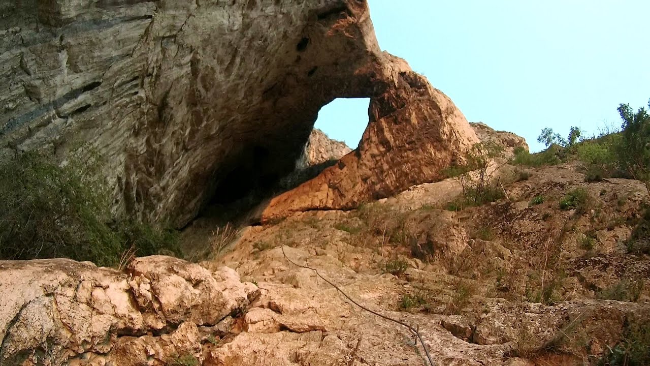
Turda Gorge via ferrata (24 photos) 2.5 km away. Turda Gorge iron path (Via ferrata Cheile Turzii) - Trascau Mountains.

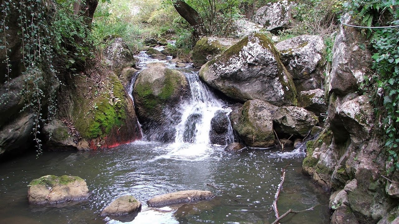
Tureni Gorge iron path visiting route (24 photos) 5.3 km away. Tureni Gorge iron path visiting route (via ferrata) - Trascau Mountains.


Spherical concretions from Feleac (18 photos) 15.2 km away. The spherical concretions from Feleac are sedimentary rock materials that were cemented together to form a hard structure. The surrounding sediments slowly erode away, exposing the concretion.

Szekler Stone North - Trascau Mountains (8 photos) 15.7 km away. Szekler Stone North (Piatra Secuilor Nord) - Trascau Mountains.

Szekler Stone - Trascau Mountains (42 photos) 15.7 km away. Szekler Stone (Székely-kő, Piatra Secuilor) - Trascau Mountains.


Balcony Clearing - Trascau Mountains (6 photos) 24.1 km away. Balcony Clearing (Erkély-tisztás, Balconul Sipotelor) - Trascau Mountains.
[ Top ↑ ]
Videos of nearby places
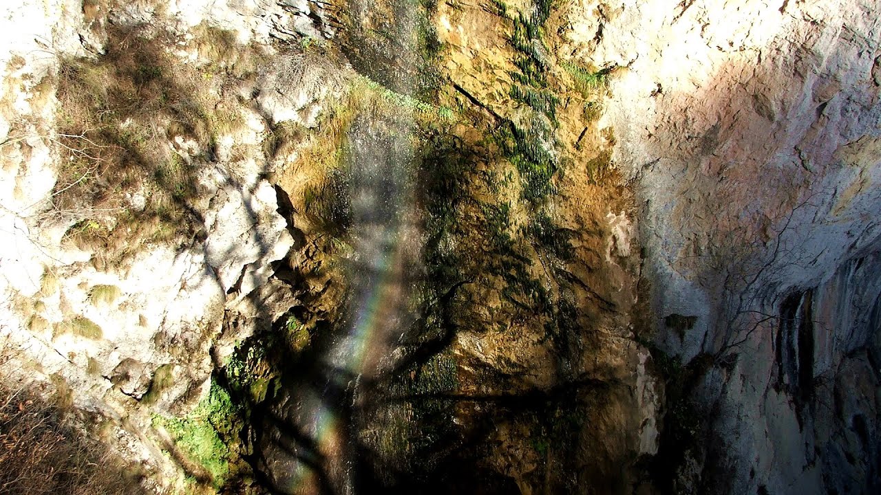
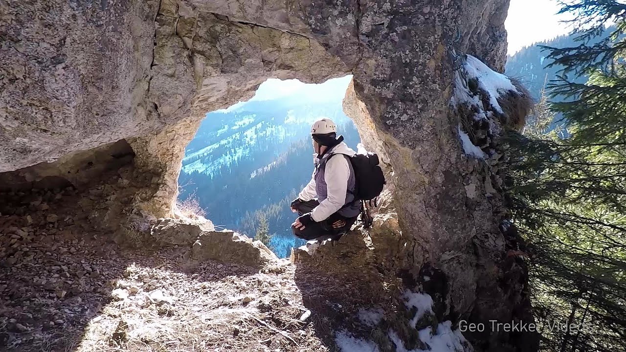
Hilis cave - Turda Gorge via ferrata 2.5 km away. While the first time I climbed this via ferrata (Sky Fly) in the morning, now I climbed it in the light of the setting sun. The red-dressed rocks created a special atmosphere, and I could admire the sunset from the top of the climbing route.
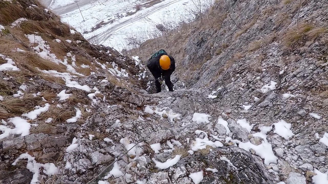
Tureni Gorge iron path 5.7 km away. Tureni Gorge iron path visiting route (Via ferrata Cheile Tureni), Trascau Mountains.

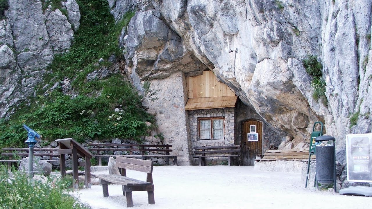
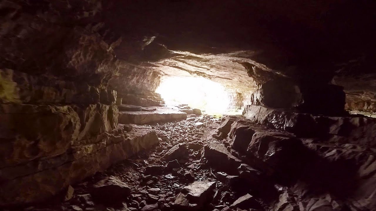
Huda lui Papara cave - Salciua de Jos 26.6 km away. Huda lui Papara cave (Paparas Hole) - Salciua de Jos, Trascau Mountains.
Dalbina waterfall, Dark Blue Bruises of the Ponor 27.6 km away. Dalbina waterfall, Dark Blue Bruises of the Ponor (Vanatarile Ponorului).

Other places
Óbányai Valley Eastern Mecsek 406.1 km away. The Óbányai Valley is located in the Eastern Mecsek Landscape Protection Area, stretching between Óbánya and Kisújbánya. Its attractions include the Slanting waterfall or Fairy Stairs, and the Dripping Rock.

Cherven, a medieval fortified town Bulgaria 377.6 km away. Located about 30 km south of the city of Ruse in Bulgaria, the Cherven medieval fortress can be found in the Rusenski Lom Nature Park. Originally a Byzantine fortification from the 6th century, it reached the height of its development in the 14th century.
Loreley and Pink Panther iron path Baia de Fier 154.4 km away. The Loreley via ferrata (graded B/C, with an elevation difference of approximately 100 m and a length of about 100 m) is located on the rock wall on the opposite side of the road. A branch from its upper section leads to the Pink Panther (Pantera Roz, graded A/B/C, approximately 200 meters long, with an elevation difference of about 50 meters).
Bicajel Gorge Hasmas Mountains 167.8 km away. Bicajel Gorge (Cheile Bicajelului) - Hasmas Mountains.

Tesárska Gorge 397.8 km away. Tesárska gorge (Tesárska roklina) - Hontianske Tesáre.
Amazing Bridges Zabardo The Amazing Bridges (Chudni Mostove, Wonderful Bridges) are natural stone bridges. They are located in the Rhodope Mountains, in the Smolyan Province of Bulgaria, within the valley of the Erkyupriya River, at an altitude of 1,450 meters above sea level.
Falco Tinnunculus via ferrata, the ascent Falcons Rock, Corbu 163.2 km away. Falco Tinnunculus (Common kestrel) via ferrata (E), the ascent - Falcon's Rock, Corbu. Over Corbu village in Harghita County, on the rocks of Falcon's Rock (Piatra Soimilor), which belong to the Bistrita Mountains, five via ferrata routes have been established.
Falco Peregrinus via ferrata Falcons Rock, Corbu 163.3 km away. Falco Peregrinus (Peregrine falcon) via ferrata (B/C) - Falcon's Rock, Corbu.
Turcinovac via ferrata and cave Ovcar Banja 401.8 km away. Difficulty level B, total length: 60 m, height difference: 45 m, year of construction: 2010. Climbing the via ferrata is only permitted with the approval of the Extreme Sports Club Armadillo from Cacak, and there is a fee for it.
Giant Ice Cave Dachstein Salzkammergut, Obertraun am Hallstättersee The second cave accessible to the public at the Schönbergalm above Obertraun on Lake Hallstatt is the Giant Ice Cave (Rieseneishöhle). For me, it was more spectacular than the Mammoth Cave.
Iskar gorge Lyutibrod Temnata dupka cave Lakatnik 388.7 km away. The Iskar is the longest purely Bulgarian river, the oldest river in the Balkans, and a right tributary of the Danube. The river is 368 km long, with approximately 150 km consisting of a gorge.

Devils Bridge Ardino The Devil's Bridge (Dyavolski Most, in Turkish Sheytan Kyupriya) is located in the gorge of the Arda River, just north of the town of Ardino in Bulgaria. It was constructed in the early 16th century, between 1515 and 1518, by an architect named Dimitar, on the remains of an earlier Roman bridge.
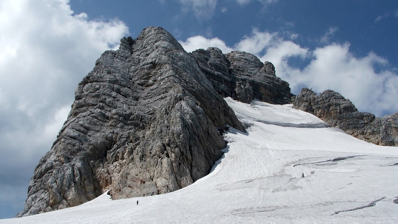
Schulter Anstieg klettersteig Hoher Dachstein Two routes lead to the top of the Hoher Dachstein. The Randkluft is shorter, but can only be reached through a glacier with cracks.
[ Top ↑ ]
Copyright © 2003-2026 Trekkingklub and friends. Reproduction of any text, picture or video from this website, either in printed or electronic form, is prohibited without prior written permission. Website made with love  in Miercurea Ciuc.