Tourist attractions near Sirnea (Fundata, Brasov county, Romania)
Photos of nearby places

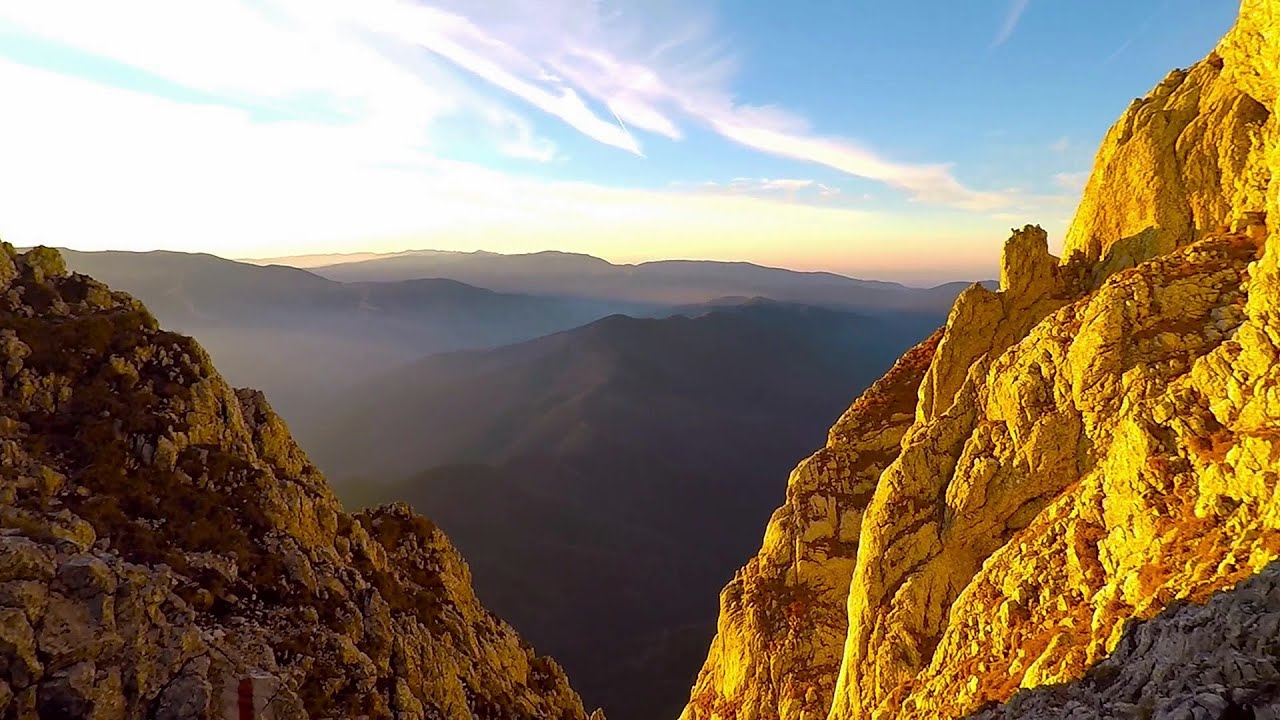
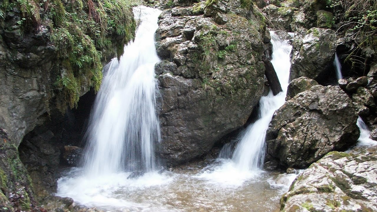
Zarnesti precipice - Piatra Craiului Mountains (16 photos) 5.6 km away. Zarnesti precipice (Prapastiile Zarnestilor) - Piatra Craiului Mountains (King Rock).

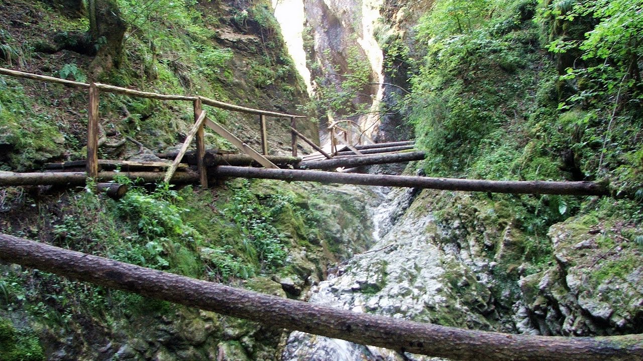
Zarnesti Gorge - Piatra Craiului Mountains (6 photos) 5.6 km away. Zarnesti Gorge (Prapastiile Zarnestilor) - Piatra Craiului Mountains.

Stanciu rock porch - Piatra Craiului Mountains (18 photos) 6.1 km away. Stancius rock porch (Ceardacul Stanciului) - Piatra Craiului Mountains (King Rock).

Cave of Stanciu - Piatra Craiului Mountains (10 photos) 6.1 km away. Cave of Stanciu (Pestera Stanciului) - Piatra Craiului Mountains (King Rock).

Southern ridge - Piatra Craiului Mountains (42 photos) 6.3 km away. Southern ridge - Piatra Craiului Mountains (King Rock).

The shoulder of Piatra Craiului Mountains (36 photos) 7 km away. The shoulder of Piatra Craiului Mountains (King Rock's Shoulder).

Deubels path - Piatra Craiului Mountains (36 photos) 7.3 km away. Plaiul Foii - Deubel cavities (La Zaplaz) - Grind saddle. Deubel's path - Piatra Craiului Mountains (King Rock).

Border Ravine Valley, Northern ridge (53 photos) 8.2 km away. Border Ravine Valley (Padina Hotarului), Northern ridge - Piatra Craiului Mountains (King Rock).

Northern ridge - Piatra Craiului (11 photos) 8.2 km away. Northern ridge - Piatra Craiului Mountains (King Rock).

Middle Belt Trail - Piatra Craiului Mountains (114 photos) 8.3 km away. Ravine valley of Calinet (Padina lui Calinet) - Thermopylae - Anghelide's canyon, Piatra Craiului Mountains (King Rock).

The Cats Gorge - Curmatura Cabin (20 photos) 8.5 km away. The Cat's Gorge - Valley of the Gorge Stream - Curmatura Cabin - Rift Saddle.

Little King Rock - Piatra Craiului Mountains (14 photos) 8.6 km away. Little King Rock (Piatra Mica) - Piatra Craiului Mountains (King Rock).

Tower of King Rock - Piatra Craiului Mountains (15 photos) 9.3 km away. Border Ravine Valley (Padina Hotarului), Turm des Königstein (Turnul Pietrei Craiului).

Ciubotea-Scara - Bucegi Mountains (24 photos) 14 km away. Ciubotea clearing - Scara peak - Omu peak - Gaura sheepfold.

The source region of the Jalomita River - Bucegi Mountains (14 photos) 15.3 km away. The source region of the Jalomita River (Obarsia Ialomitei) - Bucegi Mountains.

Turkish Mosque Rock - Bucegi Mountains (6 photos) 15.4 km away. Turkish Mosque Rock (Mecetul Turcesc) - Bucegi Mountains.

Omu Peak, chamois - Bucegi Mountains (18 photos) 15.8 km away. Omu Peak (Varful Omu), chamois - Bucegi Mountains.

Great Bucsoi Mountain, Omu Peak - Bucegi (24 photos) 16.1 km away. Great Bucsoi Mountain (Bucsoiul Mare), Omu Peak (Varful Omu) - Bucegi Mountains.

Ladies Valley - Bucegi Mountains (12 photos) 16.4 km away. Ladies Valley (Valea Doamnele) - Bucegi Mountains.

Cave of Ialomita river - Bucegi Mountains (17 photos) 16.6 km away. Cave of Ialomita river (Pestera Ialomitei) - Bucegi Mountains.

Valley of the Slim Figures - Bucegi Mountains (5 photos) 17 km away. Valley of the Slim Figures (Valea Sugarilor) - Bucegi Mountains.

[ Top ↑ ]
Videos of nearby places
Deubels path - Piatra Craiului Mountains 7.3 km away. Deubels path - Piatra Craiului Mountains (Kings Rock).
Foamy valley waterfall - Bucegi Mountains 21 km away. Access to the Foamy valley waterfall (Cascada Valea Spumoasa) is made from the town of Busteni. The starting point is the lower station of the cable car that ascends to the Babele cabin.

Dino Parc Rasnov 21.3 km away. On June 12, 2015, one of the largest dinosaur theme parks in the region opened in Rasnov, where we can see 45 life-sized dinosaurs. The facility is located directly next to the Rasnov Fortress, which is one of the best-preserved Transylvanian Saxon peasant fortresses.

Small Via ferrata - Rasnoavei Gorge 21.8 km away. In the past few days, it has snowed, so I climbed the two climbing routes in the Rasnoavei Gorge under winter conditions. While the lower part of the challenging Big via ferrata was dry, the upper section had patches of snow and icicles.

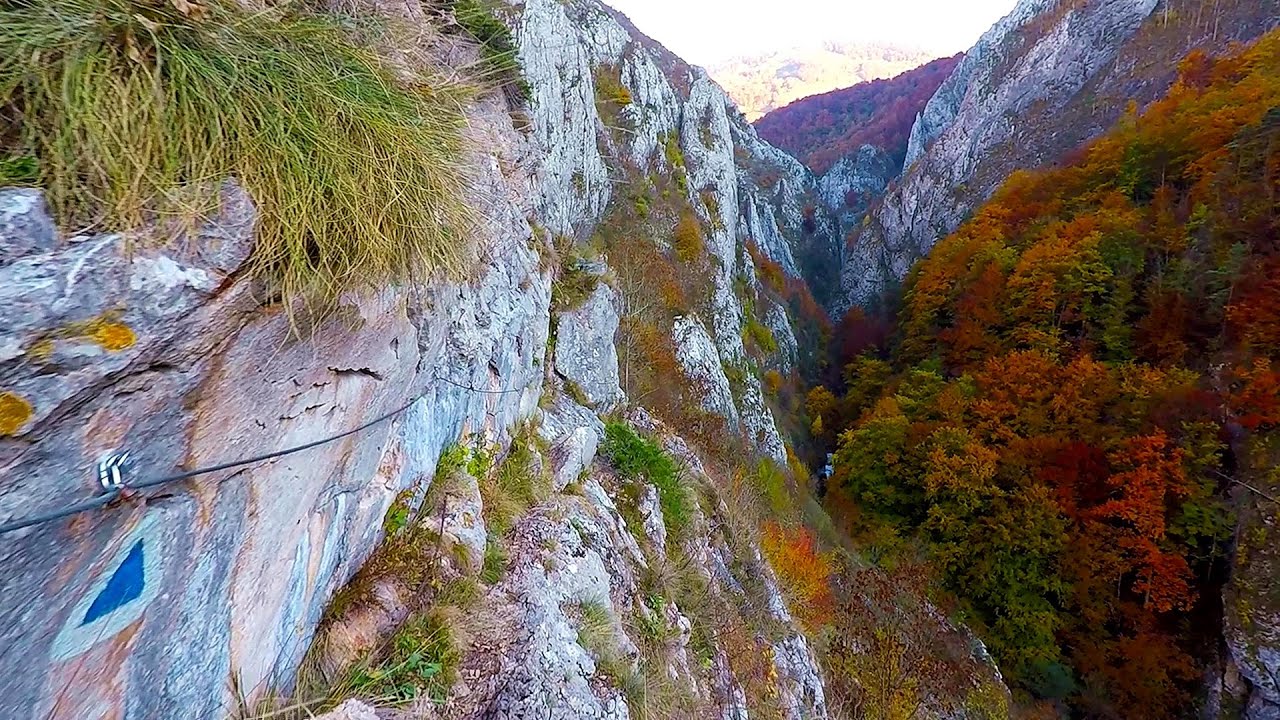
Big Via ferrata Rasnoavei Gorge 21.8 km away. The most dangerous Eastern European iron path, and also one of the most beautiful via ferrata routes in Romania, is in the Rasnoavei Gorges, Postavaru Mountains.The route is 450 m long, with a level difference of 220 m.
Other places
Devils Mill Gorge Campulung Moldovenesc 224.2 km away. The Devil's Mill Gorge is relatively short, measuring only 60 to 70 meters in length. It was formed in yellowish-gray-white dolomite by the work of a stream that crosses the gorge, as a result of erosion and the dissolution characteristic of limestone.
Mammoth Cave Dachstein Salzkammergut, Obertraun am Hallstättersee The first station of the Dachstein Krippenstein cable car, which starts in Obertraun, in the southern part of Lake Hallstatt, is Schönbergalm. Here you can find the Giant Ice Cave (Rieseneishöhle) and the Mammoth Cave (Mammuthöhle).
Goats Ledge iron path Ramet Gorge 166.6 km away. Via ferrata Goats Ledge (Brana Caprei) iron path - Ramet Gorge, Trascau Mountains.

Crivadia Gorge 159.7 km away. The Crivadia Gorge is located next to the village of Crivadia, which belongs to Banita. Access is difficult, and the hike is made through the streambed, with water up to the waist at its narrowest point.
Canyon of Waterfalls Smolyan 435.3 km away. The eco-trail known as the Canyon of Waterfalls is located in Bulgaria, within the Rhodope Mountains and the Soskovcheto Nature Reserve. It begins at the edge of the Sredoka suburb of the city of Smolyan.
Agnes Waterfall Western Mecsek The Agnes Waterfall is the largest waterfall in the Mecsek region, although the stream's water only cascades down from a height of one and a half to two meters, over a travertine ledge. Nearby attractions include the Meleg-mány Waterfall and the Mánfa Stone-Cave.
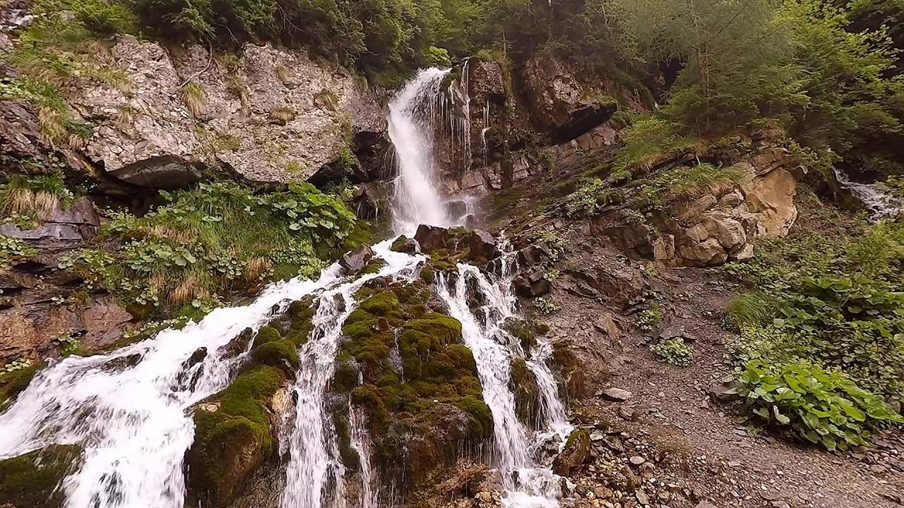
Waterfalls of Lapos creek Bicaz Gorge 154.9 km away. One of the lesser-known attractions of the Bicaz Gorges is the series of waterfalls along Lapos Creek. This creek flows between Cupas Stone and Bardos Stone before eventually merging with Bicaz Creek, forming spectacular waterfalls beneath the Altar Stone.
[ Top ↑ ]
Copyright © 2003-2026 Trekkingklub and friends. Reproduction of any text, picture or video from this website, either in printed or electronic form, is prohibited without prior written permission. Website made with love  in Miercurea Ciuc.